Old Maps of Marietta, North Carolina for Genealogy
Trace your family roots with 33 historic maps of Marietta. These high-res maps reveal old neighborhoods, homesites, landmarks, and streets — helping you uncover where your ancestors lived and how the area evolved over time.
- Explore historic neighborhoods: Identify where your relatives may have lived in the 1800s or 1900s.
- Compare maps over time: Trace the changes in streets, buildings, and landmarks for multi-generational research.
- Perfect for genealogy & ancestry research: Used by family historians and researchers to map out lineage and migration.
These maps are an incredible resource for exploring your personal connection to Marietta's past.
Marietta, NC maps
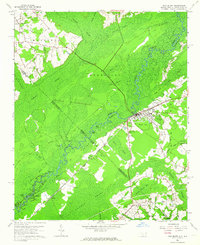
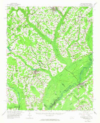
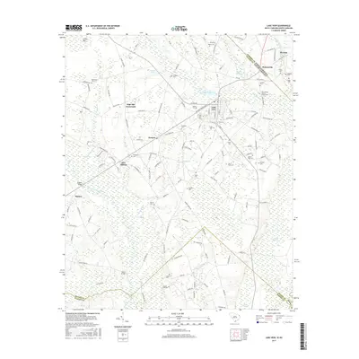
(33)- 1943 Map of Pages Mill
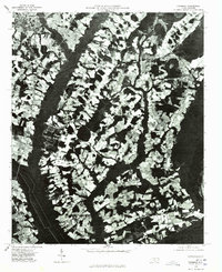
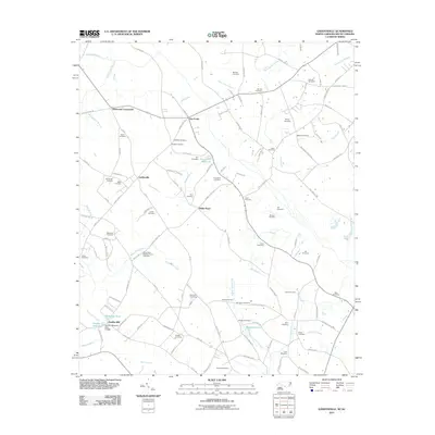
 1943 Pages Mill1943 Print · USGSThe Carolina borderlands come alive in the 1940s, showing a landscape shaped by the Lumber River and the Atlantic Coast Line railroad. Genealogists can trace family names through numerous rural landmarks like Oliver Cross Roads, Tabernacle Ch, and White Pond Ch & Sch.
 - 1953 Map of Florence, 1964 Print
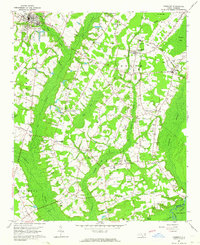
 1953 Florence1964 Print · USGSThe Carolina borderlands in the mid-fifties were a landscape of vast river swamps and rising rail towns. Trace the legacy of the Seaboard Air Line through Florence or explore the wetlands surrounding Lake Waccamaw and the Green Swamp.3 unique versions available
 - 1954 Map of Florence
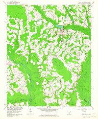
 1954 Florence1954 Print · USGSThe Carolinas borderlands come alive in the early fifties, showing the vital rail-and-river networks of the coastal plain. Genealogists can trace family footprints across the Green Swamp or through settlements like Red Springs, Chadbourn, and McColl.
 - 1962 Map of Fair Bluff, 1964 Print
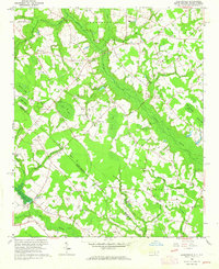
 1962 Fair Bluff1964 Print · USGSThe borderlands of the Carolinas come alive in the early sixties as the Lumber River and Atlantic Coast Line Railroad define the local economy. Researchers can trace rural lineages through Powell Cem, Turner Chapel, and the vanished tracks near Marietta.2 unique versions available
 - 1962 Map of Fairmont, 1964 Print
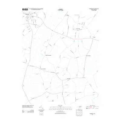
 1962 Fairmont1964 Print · USGSRobeson County in the early sixties is characterized by a landscape of productive fields and deep watercourses like Ashpole Swamp. Genealogists can trace family names through dozens of burial sites including Warwick Cem and Hardin Cem, or locate landmarks like Antioch Ch.
 - 1962 Map of Lake View, 1964 Print
 1962 Lake View1964 Print · USGSThe South Carolina and North Carolina borderlands are captured here in the early sixties, showing the transition from old rail corridors to a landscape of millponds and rural crossroads. Genealogists can trace family landmarks like High Hill Crossroads, Pages Millpond, and Squires Pork Church.
 - 1962 Map of Gaddysville, 1964 Print
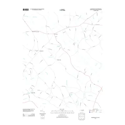
 1962 Gaddysville1964 Print · USGSThe North Carolina and South Carolina borderlands in the early sixties reveal a landscape of family farms and wetland bays. Trace ancestral roots at Piney Grove Indian Ch or explore the rural hubs of Gaddysville and Hammond Crossroads.
 - 1962 Map of Fair Bluff, 1965 Print
 1962 Fair Bluff1965 Print · USGSThe Carolina borderlands near the Lumber River are captured here in the early sixties, showing a landscape defined by elliptical bays and winding swamp systems. Genealogists can trace family names and local sites like Piney Grove Indian Ch, Pages Millpond, and the Atlantic Coast Line Railroad.
 - 1976 Map of Gaddysville, 1978 Print
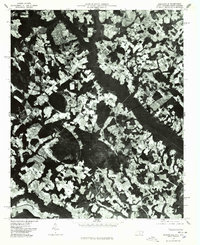 1976 Gaddysville1978 Print · USGSRobeson County near the South Carolina line is seen here in the mid-seventies through detailed aerial orthophotography. Researchers can trace rural settlement patterns and field boundaries around Gaddysville, Five Forks, and White Pond.
 - 1976 Map of Fair Bluff, 1978 Print
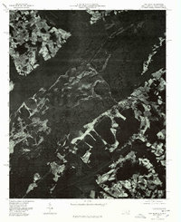 1976 Fair Bluff1978 Print · USGSThe Lumber River basin comes into sharp focus during the mid-seventies, showing the intersection of North and South Carolina. Researchers can trace the river's path past Fair Bluff or locate smaller outposts like Marietta and Causey.
 - 1976 Map of Lake View, 1978 Print
 1976 Lake View1978 Print · USGSThe rural landscapes of Dillon County come to life in the mid-1970s, showcasing the agricultural heart of the South Carolina borderlands. Researchers can trace the layout of Lake View and locate outlying communities like Hodgesville and May Hilltop.
 - 1976 Map of Fairmont, 1978 Print
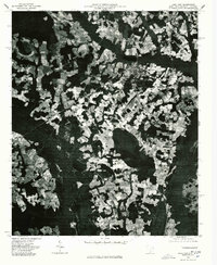
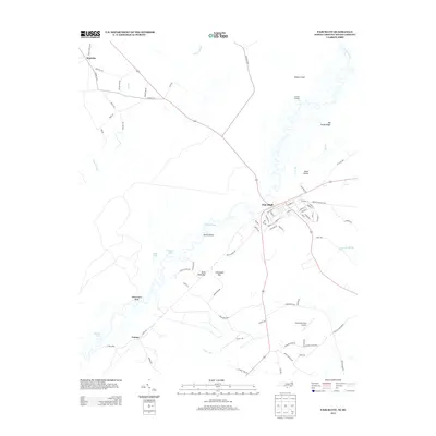
 1976 Fairmont1978 Print · USGSCoastal plain agriculture and river-bound settlements define this Robeson County landscape in the mid-seventies. Genealogists and historians can trace the growth of Fairmont and locate rural family sites near Proctorville and Leggett Crossroads.
 - 1983 Map of Florence, 1985 Print
 1983 Florence1985 Print · USGSThe Pee Dee region in the early eighties shows a landscape shaped by river commerce and rail expansion. Researchers can trace historic river crossings at Galivants Ferry or locate vanished rail stops like Willow Creek Siding and Blue Brick.
 - 2010 Map of Fairmont, 2010 Print
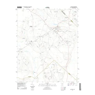
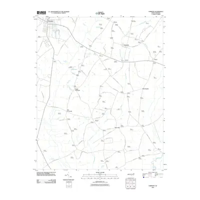 2010 Fairmont2010 Print · USGSCovers Marietta, including Fairmont, Proctorville, and other nearby areas
 - 2011 Map of Lake View, 2011 Print
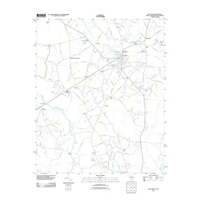 2011 Lake View2011 Print · USGSCovers Marietta, including Lake View, Kemper, and other nearby areas
 - 2011 Map of Fair Bluff, 2011 Print
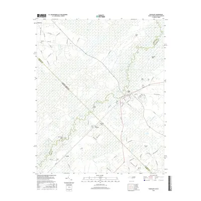
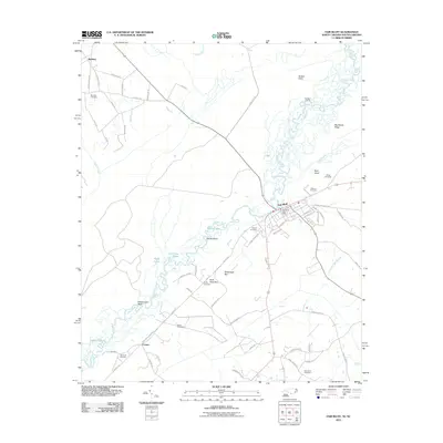 2011 Fair Bluff2011 Print · USGSCovers Marietta, including Fair Bluff, Causey, and other nearby areas
 - 2011 Map of Gaddysville, 2011 Print
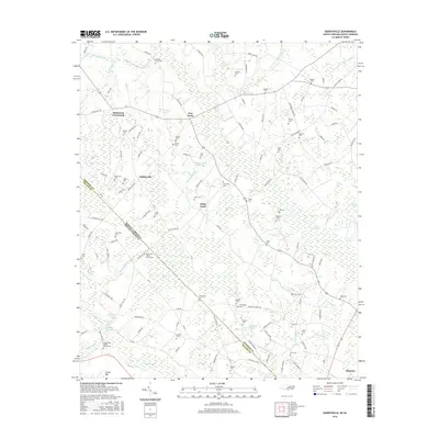
 2011 Gaddysville2011 Print · USGSCovers Marietta, including Fairmont, Gaddysville, and other nearby areas
 - 2013 Map of Fair Bluff, 2013 Print
 2013 Fair Bluff2013 Print · USGSCovers Marietta, including Fair Bluff, Causey, and other nearby areas
 - 2013 Map of Fairmont, 2013 Print
 2013 Fairmont2013 Print · USGSCovers Marietta, including Fairmont, Proctorville, and other nearby areas
 - 2013 Map of Gaddysville, 2013 Print
 2013 Gaddysville2013 Print · USGSCovers Marietta, including Fairmont, Gaddysville, and other nearby areas
 - 2014 Map of Lake View, 2014 Print
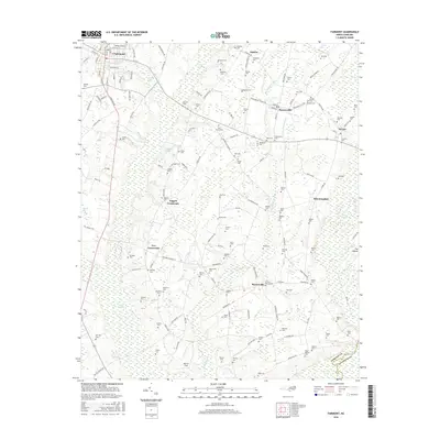
 2014 Lake View2014 Print · USGSCovers Marietta, including Lake View, Kemper, and other nearby areas
 - 2016 Map of Gaddysville, 2016 Print
 2016 Gaddysville2016 Print · USGSCovers Marietta, including Fairmont, Gaddysville, and other nearby areas
 - 2016 Map of Fair Bluff, 2016 Print
 2016 Fair Bluff2016 Print · USGSCovers Marietta, including Fair Bluff, Causey, and other nearby areas
 - 2016 Map of Fairmont, 2016 Print
 2016 Fairmont2016 Print · USGSCovers Marietta, including Fairmont, Proctorville, and other nearby areas
 - 2017 Map of Lake View, 2017 Print
 2017 Lake View2017 Print · USGSCovers Marietta, including Lake View, Kemper, and other nearby areas
Showing maps 1-25 of 33
Top cities near Marietta
- Lumberton historical maps
- Marion historical maps
- Dillon historical maps
- Mullins historical maps
- Fairmont historical maps
- Tabor City historical maps
See more
Frequently asked questions
- What are the different types of historical maps available for Marietta?
- What is the oldest map of Marietta?
- Where can I purchase historical maps of Marietta for my home or office?
- Where can I download high-res historical maps of Marietta?
- Are there historical topographic maps available for Marietta?
- Is there historical aerial imagery available for Marietta?
- Where are historical maps of Marietta sourced from?