2000s (21st Century) Maps of Billings County, North Dakota
Explore 160 historic maps of Billings County from the 2000s (21st Century). These maps offer a rare glimpse into what life looked like during the 2000s — showing old roads, neighborhoods, homes, and landmarks that have changed or disappeared over time.
Whether you're researching your family's past, planning a metal detecting trip, or studying how Billings County's landscape evolved across the 2000s, these high-resolution maps are a powerful tool for exploring the history of this region.
- Focus on a specific era: All maps on this page are from the 2000s, giving you a focused view of this time period.
- See what’s changed: Compare century-old streets, trails, and buildings to today's modern landscape using overlays and satellite layers.
- Research with precision: Use these maps for genealogy, historical research, land use analysis, or educational projects.
- View, download, or print: Maps are fully viewable online in high resolution, and can be downloaded or printed for your own records.
Start exploring Billings County's history through authentic maps from the 2000s. This is your window into the past.
Billings County, ND maps
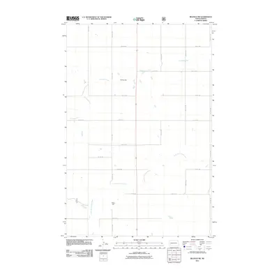
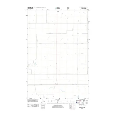
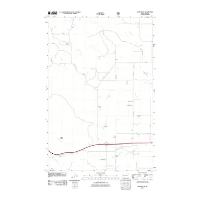
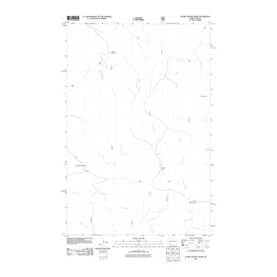
(160)- 2011 Map of Tracy Mountain, 2011 Print
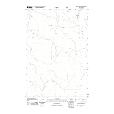 2011 Tracy Mountain2011 Print · USGSCovers Billings County, including Sully Springs, United States, and other nearby areas
 - 2011 Map of Fryburg NW, 2011 Print
 2011 Fryburg NW2011 Print · USGSCovers Billings County, including Scoria Point, United States, and other nearby areas
 - 2011 Map of Rocky Ridge North, 2011 Print
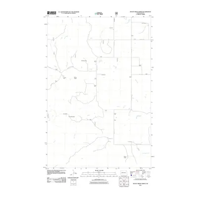 2011 Rocky Ridge North2011 Print · USGSCovers Billings County, including Slope County, United States, and other nearby areas
 - 2011 Map of Belfield NE, 2011 Print
 2011 Belfield NE2011 Print · USGSCovers Billings County, including Zenith, Stark County, and other nearby areas
 - 2011 Map of Belfield SW, 2011 Print
 2011 Belfield SW2011 Print · USGSCovers Billings County, including Stark County, United States, and other nearby areas
 - 2011 Map of Belfield, 2011 Print
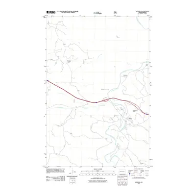
 2011 Belfield2011 Print · USGSCovers Billings County, including Belfield, Six Mile Corner, and other nearby areas
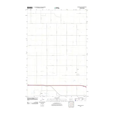
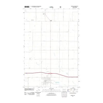
 - 2011 Map of Medora, 2011 Print
 2011 Medora2011 Print · USGSCovers Billings County, including Medora, Sentinel Township, and other nearby areas
 - 2011 Map of Bullion Butte, 2011 Print
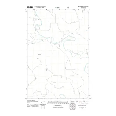 2011 Bullion Butte2011 Print · USGSCovers Billings County, including Slope County, Golden Valley County, and other nearby areas
 - 2011 Map of Daglum NW, 2011 Print
 2011 Daglum NW2011 Print · USGSCovers Billings County, including Gaylord, Stark County, and other nearby areas
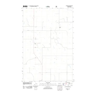
 - 2011 Map of Chimney Butte, 2011 Print
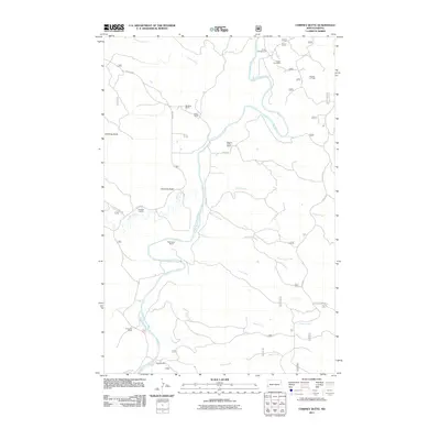 2011 Chimney Butte2011 Print · USGSCovers Billings County, including Sentinel Township, Golden Valley County, and other nearby areas
 - 2011 Map of Cliffs Plateau, 2011 Print
 2011 Cliffs Plateau2011 Print · USGSCovers Billings County, including Slope County, United States, and other nearby areas
 - 2011 Map of Fryburg, 2011 Print
 2011 Fryburg2011 Print · USGSCovers Billings County, including Fryburg, United States, and other nearby areas
 - 2011 Map of Fryburg NE, 2011 Print
 2011 Fryburg NE2011 Print · USGSCovers Billings County, including United States, North Dakota, and other nearby areas
 - 2011 Map of Buffalo Gap Campground, 2011 Print
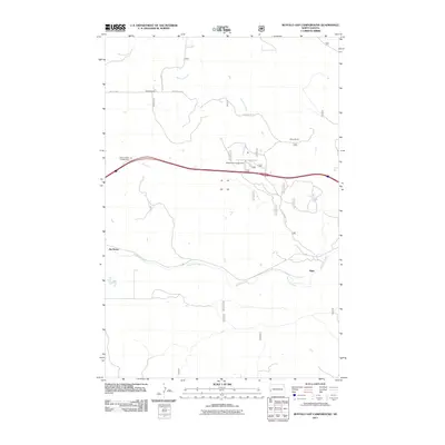 2011 Buffalo Gap Campground2011 Print · USGSCovers Billings County, including Sentinel Township, De Mores, and other nearby areas
 - 2011 Map of Grassy Butte SW, 2011 Print
 2011 Grassy Butte SW2011 Print · USGSCovers Billings County, including McKenzie County, United States, and other nearby areas
 - 2011 Map of Wannagan Creek West, 2011 Print
 2011 Wannagan Creek West2011 Print · USGSCovers Billings County, including Golden Valley County, United States, and other nearby areas
 - 2011 Map of Scairt Woman Draw, 2011 Print
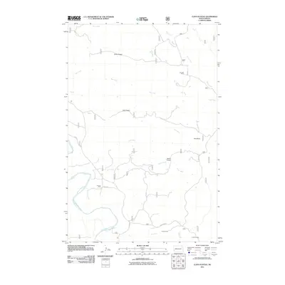
 2011 Scairt Woman Draw2011 Print · USGSCovers Billings County, including McKenzie County, United States, and other nearby areas
 - 2011 Map of Gorham SW, 2011 Print
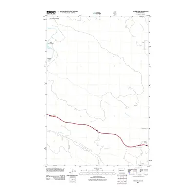
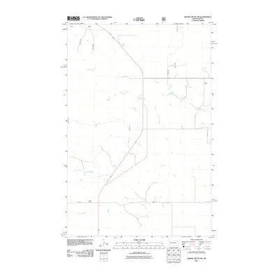
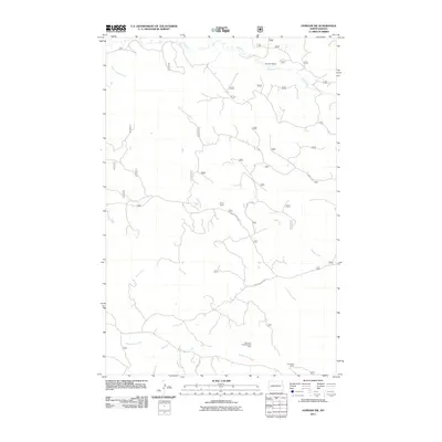 2011 Gorham SW2011 Print · USGSCovers Billings County, including United States, North Dakota, and other nearby areas
 - 2011 Map of Fairfield, 2011 Print
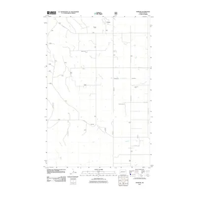
 2011 Fairfield2011 Print · USGSCovers Billings County, including Fairfield, United States, and other nearby areas
 - 2011 Map of Squaretop Butte, 2011 Print
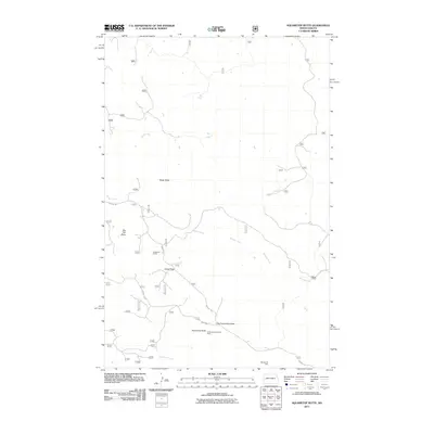 2011 Squaretop Butte2011 Print · USGSCovers Billings County, including McKenzie County, United States, and other nearby areas
 - 2011 Map of Roosevelt Creek West, 2011 Print
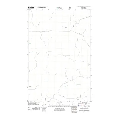
 2011 Roosevelt Creek West2011 Print · USGSCovers Billings County, including Golden Valley County, United States, and other nearby areas
 - 2011 Map of Hungry Man Butte, 2011 Print
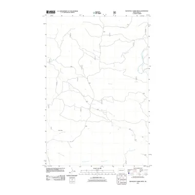
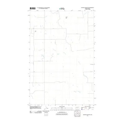 2011 Hungry Man Butte2011 Print · USGSCovers Billings County, including Dunn County, United States, and other nearby areas
 - 2011 Map of Grassy Butte SE, 2011 Print
 2011 Grassy Butte SE2011 Print · USGSCovers Billings County, including McKenzie County, Dunn County, and other nearby areas
 - 2011 Map of Fairfield SE, 2011 Print
 2011 Fairfield SE2011 Print · USGSCovers Billings County, including Dunn County, United States, and other nearby areas
 - 2011 Map of Rattlesnake Butte, 2011 Print
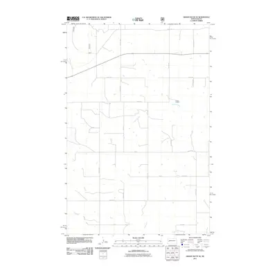
 2011 Rattlesnake Butte2011 Print · USGSCovers Billings County, including United States, North Dakota, and other nearby areas
Showing maps 1-25 of 160
Top cities of Billings County
Frequently asked questions
- What are the different types of historical maps available for Billings County?
- What is the oldest map of Billings County?
- Where can I purchase historical maps of Billings County for my home or office?
- Where can I download high-res historical maps of Billings County?
- Are there historical topographic maps available for Billings County?
- Is there historical aerial imagery available for Billings County?
- Where are historical maps of Billings County sourced from?