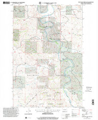
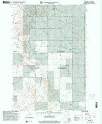
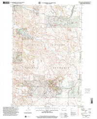
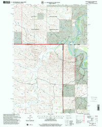
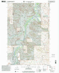
1990s Maps of Billings County, North Dakota
Explore 29 historic maps of Billings County from the 1990s. These maps offer a rare glimpse into what life looked like during the 1990s — showing old roads, neighborhoods, homes, and landmarks that have changed or disappeared over time.
Whether you're researching your family's past, planning a metal detecting trip, or studying how Billings County's landscape evolved across the 1990s, these high-resolution maps are a powerful tool for exploring the history of this region.
- Focus on a specific era: All maps on this page are from the 1990s, giving you a focused view of this time period.
- See what’s changed: Compare century-old streets, trails, and buildings to today's modern landscape using overlays and satellite layers.
- Research with precision: Use these maps for genealogy, historical research, land use analysis, or educational projects.
- View, download, or print: Maps are fully viewable online in high resolution, and can be downloaded or printed for your own records.
Start exploring Billings County's history through authentic maps from the 1990s. This is your window into the past.
Billings County, ND maps
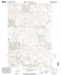
(29)- 1997 Map of Wannagan Creek West, 2001 Print
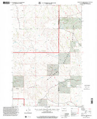 1997 Wannagan Creek West2001 Print · USGSGolden Valley County and Billings County meet in this late-nineties survey of the North Dakota Badlands. Genealogists and historians can trace the remote backcountry along the Maah Hey Dahl Trail and locate family landmarks like East Twin Butte.
 - 1997 Map of Scairt Woman Draw, 2001 Print
 1997 Scairt Woman Draw2001 Print · USGSBillings and McKenzie counties are captured in the late nineties as energy extraction and ranching defined this badlands landscape. Researchers can trace rural lineages through the Lillibridge Ranch, locate the old Tester Sch, and map the extent of the Scairt Woman Oil Field.
 - 1997 Map of Buffalo Gap Campground, 2001 Print
 1997 Buffalo Gap Campground2001 Print · USGSThe high plains of Golden Valley County come to life in this late-nineties survey of the Little Missouri National Grassland. Genealogists and historians can trace local family landholdings at Durha Ranch and Golberg Ranch or locate the site of Rider.
 - 1997 Map of Belfield SW, 2001 Print
 1997 Belfield SW2001 Print · USGSStark County ranching and mining country are documented here in the late nineties, where the Little Missouri National Grassland meets the Heart River. Researchers can locate rural landmarks like Belfield Sch No 1, Dorval Sch, and numerous Scoria Pits.
 - 1997 Map of Squaretop Butte, 2001 Print
 1997 Squaretop Butte2001 Print · USGSThe North Dakota badlands appear in detail during the late nineties as energy development and ranching define the McKenzie County border. Researchers can trace the industrial landscape of the Magpie Oil Field and landmarks like Castle Rock and O'Brien Ranch.
 - 1997 Map of Gorham SE, 2001 Print
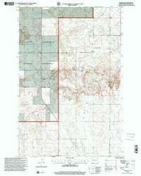
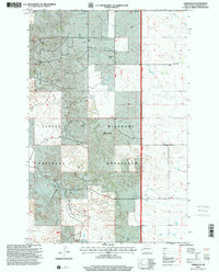 1997 Gorham SE2001 Print · USGSBillings County ranching and energy production are in focus during the late nineties within the Little Missouri National Grassland. Researchers can trace family-named homesteads like Abeluk Ranch and Banyai Ranch alongside the Gorham Sch.
 - 1997 Map of Roosevelt Creek East, 2001 Print
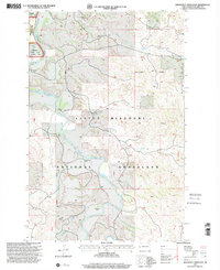 1997 Roosevelt Creek East2001 Print · USGSThe North Dakota badlands are captured here in the late nineties, centered on the protected wilderness of the Little Missouri River. Trace the history of the region through family-named landmarks like Buckhorn Ranch and the Elkhorn Ranch State Historic Site.
 - 1997 Map of Rattlesnake Butte, 2001 Print
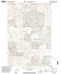
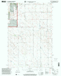
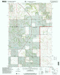
 1997 Rattlesnake Butte2001 Print · USGSBillings County, North Dakota, is documented here in the late nineties, showing a landscape of scattered schools and prairie river forks. Researchers can locate family landmarks like St Demetrius Ch, Spring Creek Sch No 2, and St Boniface Cem near the banks of the Green River.
 - 1997 Map of Grassy Butte SE, 2001 Print
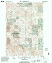
 1997 Grassy Butte SE2001 Print · USGSDunn County and the surrounding badlands are shown during the late 1990s as the energy industry and grazing lands converged. Genealogists and historians can trace local heritage through sites like the Greek Ch, a Russian Cem, and the Little Knife Gas Plant.
 - 1997 Map of Fryburg NE, 2001 Print
 1997 Fryburg NE2001 Print · USGSBillings County ranching and energy production intersect here in the late 1990s, where federal lands meet private enterprise. Genealogists and historians can trace family holdings like the Snyder Ranch and Redmond Farm near the Fryburg Oil Field.
 - 1997 Map of Medora, 2001 Print
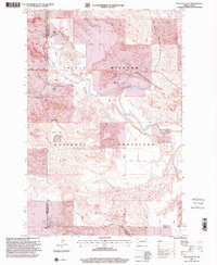
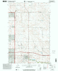
 1997 Medora2001 Print · USGSThe Badlands of western North Dakota come into sharp focus in the late nineties, where the cattle industry meets federal conservation land. Trace the heritage of the region through the Chateau de Mores, Medora Cem, and local landmarks like Tescher Ranch.
 - 1997 Map of Rocky Ridge North, 2001 Print
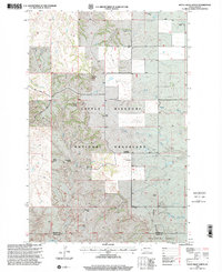 1997 Rocky Ridge North2001 Print · USGSBillings and Slope counties in the late twentieth century reveal a resilient ranching landscape within the Little Missouri National Grassland. Genealogists and researchers can trace family landmarks like Hewson Ranch or find the Rocky Ridge Schoolhouse and Smith Cem.
 - 1997 Map of Wannagan Creek East, 2001 Print
 1997 Wannagan Creek East2001 Print · USGSThe Little Missouri badlands come alive in the late nineties as a blend of private ranchlands and protected wilderness. Genealogists and local historians can trace family landmarks like Wolf Ranch, locate the old Myers Sch, or follow the Maah Daah Hey Trail through the Little Missouri National Grassland.
 - 1997 Map of Fryburg, 2001 Print
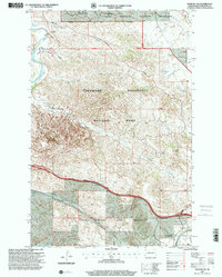
 1997 Fryburg2001 Print · USGSBillings County ranching and resource extraction are captured here in the late nineties, centered on the Fryburg settlement. Researchers can locate family-named landmarks like the Gawryluk Ranch and Slepkowsky Ranch or trace Custers Campsite.
 - 1997 Map of Tracy Mountain, 2001 Print
 1997 Tracy Mountain2001 Print · USGSBillings County is shown during the late twentieth century as energy development and ranching defined the badlands. Genealogists and historians can trace family-named sites like Shade Ranch or locate the infrastructure of the Fryburg Oil Field.
 - 1997 Map of Eagle Draw, 2001 Print
 1997 Eagle Draw2001 Print · USGSThe North Dakota badlands appear in detail during the late 1990s as the Little Missouri River snakes through the Medora Ranger District. Researchers can trace the path of the Maah Daah Hey Trail or locate remote sites like Goldsberry Ranch and several isolated wells.
 - 1997 Map of Bullion Butte, 2001 Print
 1997 Bullion Butte2001 Print · USGSBillings and Golden Valley Counties are shown here during the late 1990s, where the river-cut badlands meet high plateau country. Researchers can locate remote family sites like Adams Ranch and Griffin Ranch or the small Connell Cem near the riverbanks.
 - 1997 Map of Fryburg NW, 2001 Print
 1997 Fryburg NW2001 Print · USGSBillings County's badlands landscape comes into sharp focus during the late 1990s as it balances conservation and energy production. Researchers can trace the intersection of Theodore Roosevelt National Park with the Fryburg Oil Field and Burning Coal Vein.
 - 1997 Map of Daglum NW, 2001 Print
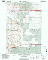
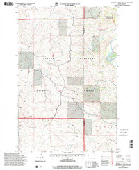
 1997 Daglum NW2001 Print · USGSWestern North Dakota ranching and prairie life are captured in the late nineties as they stood across the Stark and Billings county lines. Genealogists and historians can trace family ties at Our Lady of Lourdes Ch and its Cem, or locate old landmarks like Gaylord and Swenson Ranch.
 - 1997 Map of Roosevelt Creek West, 2001 Print
 1997 Roosevelt Creek West2001 Print · USGSThe North Dakota badlands near the turn of the millennium are defined here by conservation and cattle ranching history. Researchers can trace the Maah Daah Hey Trail or locate the Elkhorn Ranch Site along the Little Missouri River.
 - 1997 Map of Grassy Butte SW, 2001 Print
 1997 Grassy Butte SW2001 Print · USGSWestern North Dakota ranching country is documented here in the late nineties, spanning the border between McKenzie and Billings counties. Genealogists and local historians can locate several family sites including Tachenko Ranch and Haag Ranch, or trace the course of the Little Knife River near Grassy Butte Ch.
 - 1997 Map of Fairfield, 2001 Print
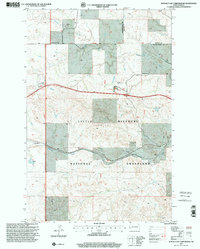
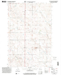
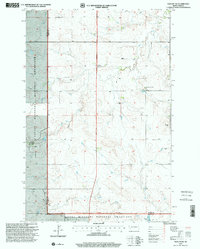
 1997 Fairfield2001 Print · USGSBillings County, North Dakota, is shown in the late nineties as a landscape of national grasslands and quiet prairie outposts. Researchers can trace the civic footprint of Fairfield, including the Fairfield Post Office, Hecker Sch, and Immaculate Conception Cem.
 - 1997 Map of Gorham NW, 2001 Print
 1997 Gorham NW2001 Print · USGSBillings County ranching and energy development meet along the river in the late 1990s. Researchers can trace land holdings at the Elkhorn Ranch or locate industrial sites like the Magpie Oil Field and the local Compressor Station.
 - 1997 Map of Belfield, 2001 Print
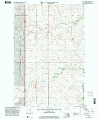
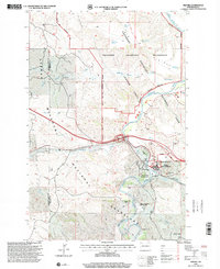
 1997 Belfield2001 Print · USGSBelfield and the surrounding North Dakota plains are captured here in the late nineties at a time of continued mineral extraction and agricultural use. Researchers can locate St Stanislaus Cem, trace the course of the Heart River, and identify various Scoria Pits.
 - 1997 Map of Chimney Butte, 2001 Print
 1997 Chimney Butte2001 Print · USGSBillings County and the Little Missouri Badlands are captured here in the late nineties, showing a landscape defined by historic cattle ranching. Researchers can locate legacy homesteads like Custer Trail Ranch and Maltese Cross Ranch or track early energy development at scattered Oil Wells.
Showing maps 1-25 of 29
Top cities of Billings County
Frequently asked questions
- What are the different types of historical maps available for Billings County?
- What is the oldest map of Billings County?
- Where can I purchase historical maps of Billings County for my home or office?
- Where can I download high-res historical maps of Billings County?
- Are there historical topographic maps available for Billings County?
- Is there historical aerial imagery available for Billings County?
- Where are historical maps of Billings County sourced from?