2010s Maps of Billings County, North Dakota
Explore 96 historic maps of Billings County from the 2010s. These maps offer a rare glimpse into what life looked like during the 2010s — showing old roads, neighborhoods, homes, and landmarks that have changed or disappeared over time.
Whether you're researching your family's past, planning a metal detecting trip, or studying how Billings County's landscape evolved across the 2010s, these high-resolution maps are a powerful tool for exploring the history of this region.
- Focus on a specific era: All maps on this page are from the 2010s, giving you a focused view of this time period.
- See what’s changed: Compare century-old streets, trails, and buildings to today's modern landscape using overlays and satellite layers.
- Research with precision: Use these maps for genealogy, historical research, land use analysis, or educational projects.
- View, download, or print: Maps are fully viewable online in high resolution, and can be downloaded or printed for your own records.
Start exploring Billings County's history through authentic maps from the 2010s. This is your window into the past.
Billings County, ND maps
(96)- 2011 Map of Tracy Mountain, 2011 Print
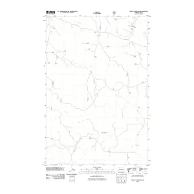 2011 Tracy Mountain2011 Print · USGSSully Springs and the surrounding Billings County ranchlands are captured here in the early twenty-first century. Genealogists and local historians can trace family-named landmarks like Ray Ranch and Porter Ranch or locate the Scoria Oil Field.
 - 2011 Map of Fryburg NW, 2011 Print
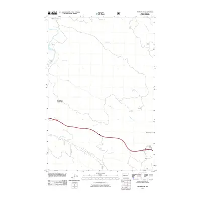 2011 Fryburg NW2011 Print · USGSThe western North Dakota badlands appear in high detail at the start of the 2010s, showing the complex drainage systems of the Little Missouri River. Researchers can trace the landscape from Scoria Point to the high elevations of Buck Hill and the Painted Canyon Overlook.
 - 2011 Map of Rocky Ridge North, 2011 Print
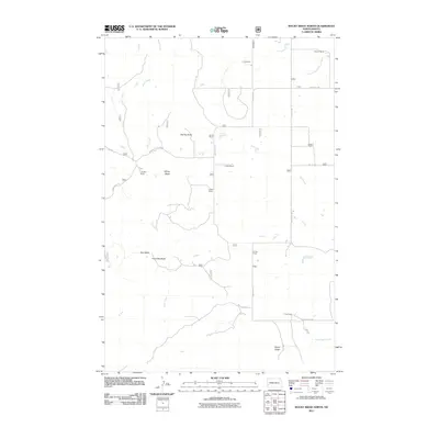 2011 Rocky Ridge North2011 Print · USGSSlope County ranching country is documented here in the early twenty-first century, showing the enduring pattern of large family holdings and butte landmarks. Researchers can trace land use and homestead locations like the Fugere Ranch, Smith Ranch, and the Rocky Ridge elevation.
 - 2011 Map of Belfield NE, 2011 Print
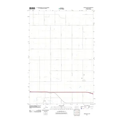 2011 Belfield NE2011 Print · USGSWestern Stark County is captured here in the early 2000s, showcasing the high plains and river valleys of the North Dakota prairie. Genealogists and historians can trace the settlement at Zenith or locate specific industrial sites like the Karsky Mine and Walters Mine.
 - 2011 Map of Belfield SW, 2011 Print
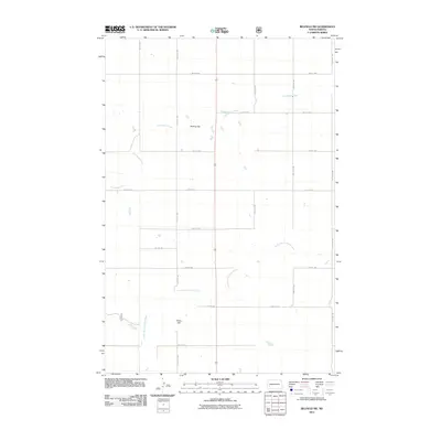 2011 Belfield SW2011 Print · USGSStark County's agricultural heartland is documented here during the early twenty-first century, showing the intersection of prairie hydrology and section-line roads. Trace the course of the South Branch Heart River and find landmarks like Mesling Dam and Rocky Hill.
 - 2011 Map of Belfield, 2011 Print
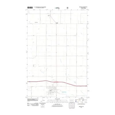 2011 Belfield2011 Print · USGSBelfield and its surrounding prairie landscapes are captured in the early twenty-first century, showing the town at a key regional intersection. Genealogists and local historians can trace family locations near Saint Stanislaus Cemetery or follow the paths of the Heart River and Coal Mine Creek.
 - 2011 Map of Medora, 2011 Print
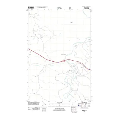 2011 Medora2011 Print · USGSMedora and the winding Little Missouri River valley are captured here in the early twenty-first century. Researchers can trace the layout of the townsite and its Medora Cemetery, alongside established ranching landmarks like the Peaceful Valley Ranch and Hellickson Ranch.
 - 2011 Map of Bullion Butte, 2011 Print
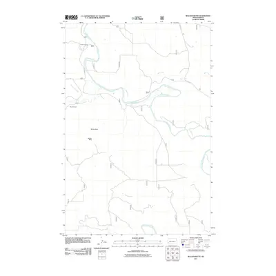 2011 Bullion Butte2011 Print · USGSThe North Dakota badlands near the Little Missouri River are shown here in the early twenty-first century. Researchers can locate family landmarks such as Adams Ranch and Connell Cemetery or trace the drainage of Bear Creek.
 - 2011 Map of Daglum NW, 2011 Print
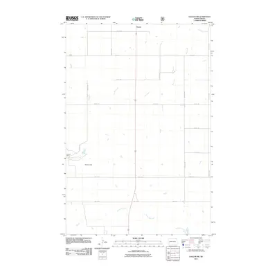 2011 Daglum NW2011 Print · USGSStark County ranch lands and open prairie are captured here in the early twenty-first century. Genealogists and local historians can trace family landholdings near Gaylord or follow the paths of Bull Creek and Adobe Wall Creek through the Swenson Ranch.
 - 2011 Map of Chimney Butte, 2011 Print
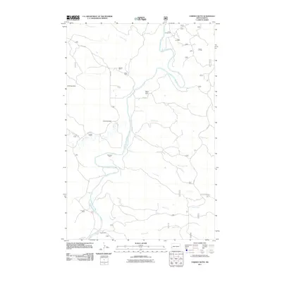 2011 Chimney Butte2011 Print · USGSThe ranching heritage of the North Dakota Badlands is preserved here in the early twenty-first century. Researchers can trace historic family-named holdings such as Pellissier Ranch and Vanvig Ranch along the winding Little Missouri River.
 - 2011 Map of Cliffs Plateau, 2011 Print
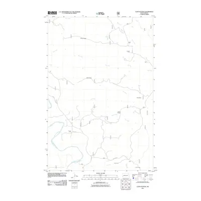 2011 Cliffs Plateau2011 Print · USGSWestern North Dakota ranching country is captured here during the early twenty-first century as the landscape remains defined by its rugged river breaks. Genealogists and local historians can locate specific homesteads like M Gerbig Ranch and L Henders Ranch near the winding Little Missouri River.
 - 2011 Map of Fryburg, 2011 Print
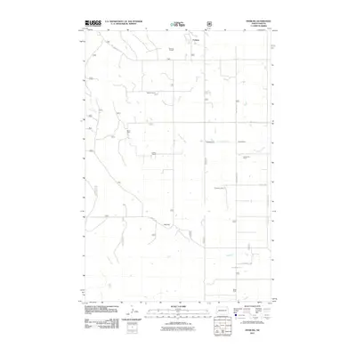 2011 Fryburg2011 Print · USGSBillings County ranching and energy production are at the forefront of this early 21st-century survey. Genealogists and historians can trace family landholdings such as Kordonowy Ranch and Shypkowski Ranch or locate the Fryburg Oil Field and the settlement of Fryburg.
 - 2011 Map of Fryburg NE, 2011 Print
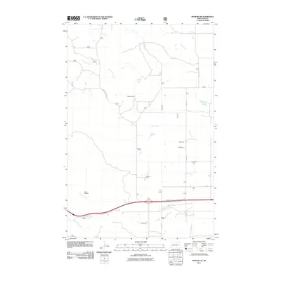 2011 Fryburg NE2011 Print · USGSBillings County ranching country is shown here in the early 2000s, where the headwaters of the Heart River meet the rugged drainages of the badlands. Genealogists and local historians can locate specific family holdings including Lindbo Ranch, Brien Ranch, and Redmond Farm.
 - 2011 Map of Buffalo Gap Campground, 2011 Print
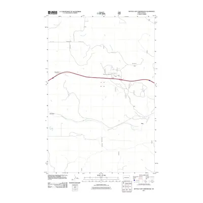 2011 Buffalo Gap Campground2011 Print · USGSWestern North Dakota rangeland comes into focus in this early twenty-first-century survey of Golden Valley County. Genealogists and historians can locate family landmarks like Adams Ranch and Myers Ranch or trace the drainage of Knutson Creek and Andrews Creek.
 - 2011 Map of Grassy Butte SW, 2011 Print
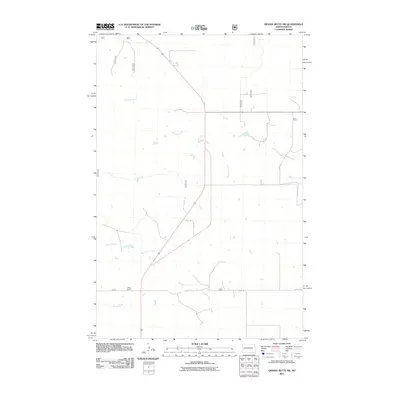 2011 Grassy Butte SW2011 Print · USGSMcKenzie County's expansive ranchlands are mapped here in the early twenty-first century, showcasing the vital water networks of the Badlands region. Genealogists and local historians can locate Haag Ranch and trace the paths of Beicegel Creek and the Little Knife River.
 - 2011 Map of Wannagan Creek West, 2011 Print
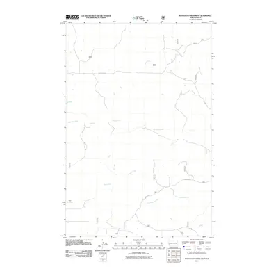 2011 Wannagan Creek West2011 Print · USGSBillings County ranching country is documented here during the early twenty-first century as a land of creek-side homesteads. Researchers can trace the layout of family-run operations like Lohman Ranch and prominent terrain like East Twin Butte.
 - 2011 Map of Scairt Woman Draw, 2011 Print
 2011 Scairt Woman Draw2011 Print · USGSMcKenzie County ranching and energy production are captured here at the start of the 2010s. Researchers can locate specific family-named operations like Lillibridge Ranch and trace the infrastructure of the Scairt Woman Oil Field.
 - 2011 Map of Gorham SW, 2011 Print
 2011 Gorham SW2011 Print · USGSThe North Dakota oil patch and traditional ranching lands meet in this 2011 survey of Billings County. Researchers can trace the layout of the Big Stick Oilfield alongside local landmarks like Oyhus Ranch and Dawsons Waterhole.
 - 2011 Map of Fairfield, 2011 Print
 2011 Fairfield2011 Print · USGSFairfield and the surrounding Billings County plains are captured in this 2011 survey at a time of continued rural endurance. Genealogists and local historians can locate the Immaculate Conception Cemetery and the Fairfield Post Office, or trace the winding course of the Knife River.
 - 2011 Map of Squaretop Butte, 2011 Print
 2011 Squaretop Butte2011 Print · USGSMcKenzie County at the start of the decade reveals a landscape where ranching and energy extraction meet. Genealogists and historians can locate family-named landmarks like Northrup Ranch, O'Brien Ranch, and the Anderson Coulee Oil Field.
 - 2011 Map of Roosevelt Creek West, 2011 Print
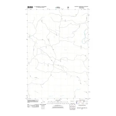 2011 Roosevelt Creek West2011 Print · USGSBillings County, North Dakota, is seen here in the early twenty-first century as a landscape of remote drainages and high points. Modern-day researchers can trace the winding paths of Roosevelt Creek, the waters of Bell Lake Creek, and the prominent rise of Cooks Peak.
 - 2011 Map of Hungry Man Butte, 2011 Print
 2011 Hungry Man Butte2011 Print · USGSDunn County ranch lands and prairie drainages are captured here during the early 2000s. Genealogists and local historians can trace the grid of section-line roads past Hungry Man Butte, the Chalupnik Dam, and the waters of Crooked Creek.
 - 2011 Map of Grassy Butte SE, 2011 Print
 2011 Grassy Butte SE2011 Print · USGSMcKenzie County was a landscape of structured ranching and deep heritage in the early twenty-first century. Genealogists and local historians can locate the Russian Cemetery and trace the paths of the Little Knife River and the Knife River.
 - 2011 Map of Fairfield SE, 2011 Print
 2011 Fairfield SE2011 Print · USGSThe rural plains of Dunn County are captured here in the early twenty-first century, showing a landscape defined by its waterways and local heritage. Genealogists can locate Saint Demetrius Cemetery and Saints Peter and Paul Cemetery near the banks of the Green River.
 - 2011 Map of Rattlesnake Butte, 2011 Print
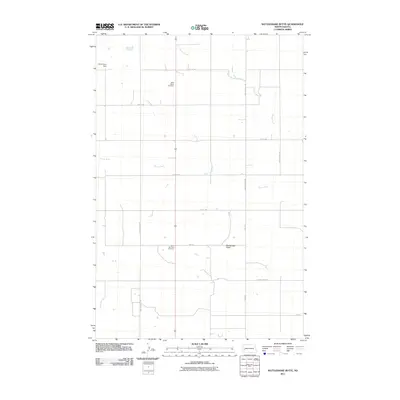 2011 Rattlesnake Butte2011 Print · USGSBillings County, North Dakota, is mapped here in the early twenty-first century as a landscape of rural section roads and prairie waterways. Family history researchers can locate Saint Marys Cemetery and Saint Boniface Cemetery, or trace the path of the Green River.
Showing maps 1-25 of 96
Top cities of Billings County
Frequently asked questions
- What are the different types of historical maps available for Billings County?
- What is the oldest map of Billings County?
- Where can I purchase historical maps of Billings County for my home or office?
- Where can I download high-res historical maps of Billings County?
- Are there historical topographic maps available for Billings County?
- Is there historical aerial imagery available for Billings County?
- Where are historical maps of Billings County sourced from?