2000s (21st Century) Maps of Pembina County, North Dakota
Explore 178 historic maps of Pembina County from the 2000s (21st Century). These maps offer a rare glimpse into what life looked like during the 2000s — showing old roads, neighborhoods, homes, and landmarks that have changed or disappeared over time.
Whether you're researching your family's past, planning a metal detecting trip, or studying how Pembina County's landscape evolved across the 2000s, these high-resolution maps are a powerful tool for exploring the history of this region.
- Focus on a specific era: All maps on this page are from the 2000s, giving you a focused view of this time period.
- See what’s changed: Compare century-old streets, trails, and buildings to today's modern landscape using overlays and satellite layers.
- Research with precision: Use these maps for genealogy, historical research, land use analysis, or educational projects.
- View, download, or print: Maps are fully viewable online in high resolution, and can be downloaded or printed for your own records.
Start exploring Pembina County's history through authentic maps from the 2000s. This is your window into the past.
Pembina County, ND maps
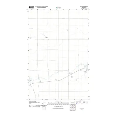
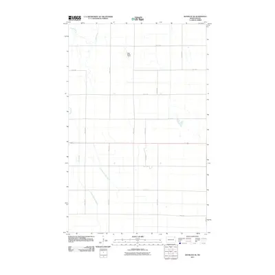
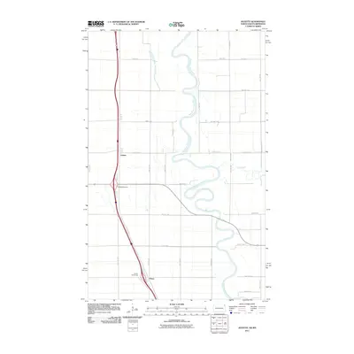
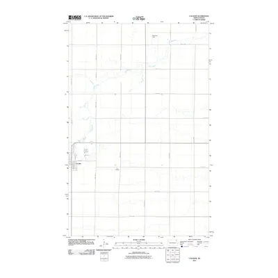
(178)- 2011 Map of Hensel, 2011 Print
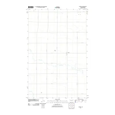 2011 Hensel2011 Print · USGSCovers Pembina County, including Canton City, Hensel, and other nearby areas
 - 2011 Map of Saint Thomas, 2011 Print
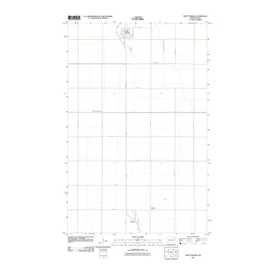 2011 Saint Thomas2011 Print · USGSCovers Pembina County, including Saint Thomas, Auburn, and other nearby areas
 - 2011 Map of North Salt Lake, 2011 Print
 2011 North Salt Lake2011 Print · USGSCovers Pembina County, including Walsh County, United States, and other nearby areas
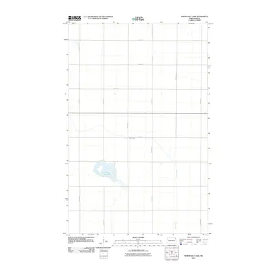
 - 2011 Map of Concrete, 2011 Print
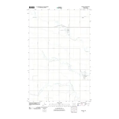
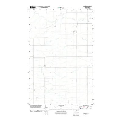 2011 Concrete2011 Print · USGSCovers Pembina County, including Concrete, Cavalier County, and other nearby areas
 - 2011 Map of Crystal NE, 2011 Print
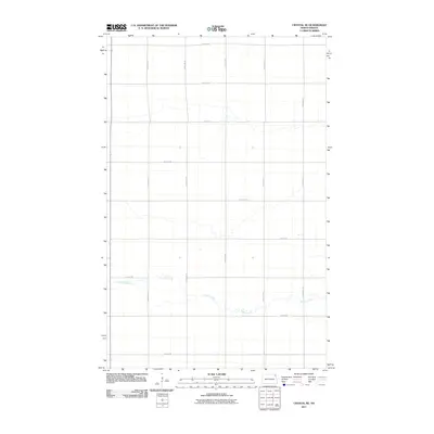 2011 Crystal NE2011 Print · USGSCovers Pembina County, including United States, North Dakota, and other nearby areas
 - 2011 Map of Backoo, 2011 Print
 2011 Backoo2011 Print · USGSCovers Pembina County, including Cavalier, Akra Township, and other nearby areas
 - 2011 Map of Union, 2011 Print
 2011 Union2011 Print · USGSCovers Pembina County, including Union, Cavalier County, and other nearby areas
 - 2011 Map of Glasston NE, 2011 Print
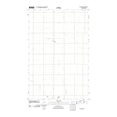
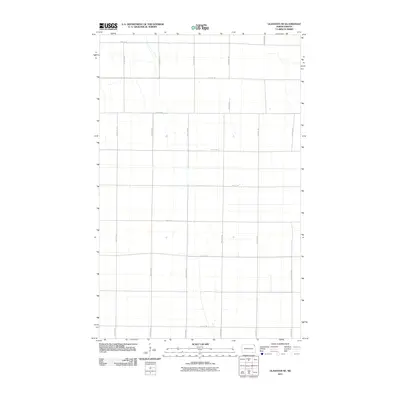 2011 Glasston NE2011 Print · USGSCovers Pembina County, including United States, North Dakota, and other nearby areas
 - 2011 Map of Bathgate SE, 2011 Print
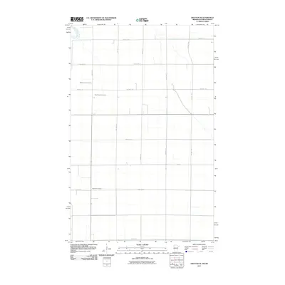
 2011 Bathgate SE2011 Print · USGSCovers Pembina County, including United States, North Dakota, and other nearby areas
 - 2011 Map of Bowesmont, 2011 Print
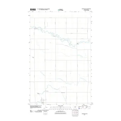
 2011 Bowesmont2011 Print · USGSCovers Pembina County, including Bowesmont, Kittson County, and other nearby areas
 - 2011 Map of Hanks Corner, 2011 Print
 2011 Hanks Corner2011 Print · USGSCovers Pembina County, including Hanks Corner, Cavalier County, and other nearby areas
 - 2011 Map of Hallson, 2011 Print
 2011 Hallson2011 Print · USGSCovers Pembina County, including Svold, Hallson, and other nearby areas
 - 2011 Map of Joliette, 2011 Print
 2011 Joliette2011 Print · USGSCovers Pembina County, including Joliette, Fleece, and other nearby areas
 - 2011 Map of Drayton SE, 2011 Print
 2011 Drayton SE2011 Print · USGSCovers Pembina County, including Kittson County, Marshall County, and other nearby areas
 - 2011 Map of Crystal SE, 2011 Print
 2011 Crystal SE2011 Print · USGSCovers Pembina County, including Walsh County, United States, and other nearby areas
 - 2011 Map of Glasston, 2011 Print
 2011 Glasston2011 Print · USGSCovers Pembina County, including St. Thomas, Glasston, and other nearby areas
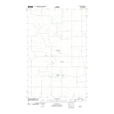
 - 2011 Map of Cavalier, 2011 Print
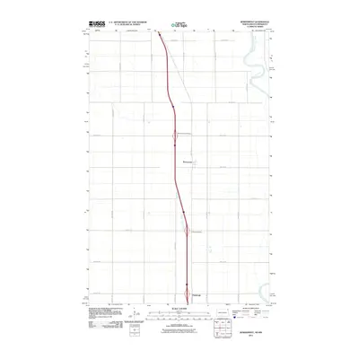
 2011 Cavalier2011 Print · USGSCovers Pembina County, including Cavalier, United States, and other nearby areas
 - 2011 Map of Drayton, 2011 Print
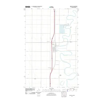 2011 Drayton2011 Print · USGSCovers Pembina County, including Drayton, Robbin, and other nearby areas
 - 2011 Map of Gardar, 2011 Print
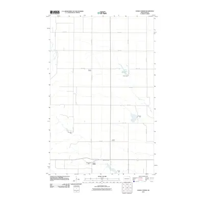
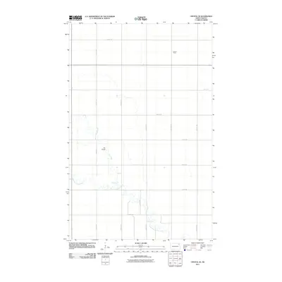
 2011 Gardar2011 Print · USGSCovers Pembina County, including Gardar, Walsh County, and other nearby areas
 - 2011 Map of Mountain, 2011 Print
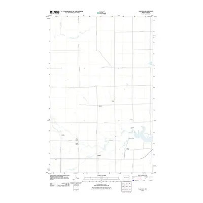
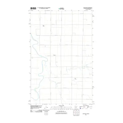
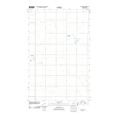 2011 Mountain2011 Print · USGSCovers Pembina County, including Mountain, United States, and other nearby areas
 - 2011 Map of Mattson, 2011 Print
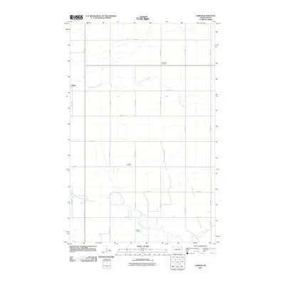
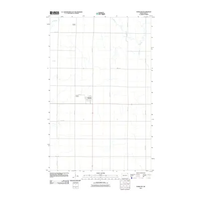
 2011 Mattson2011 Print · USGSCovers Pembina County, including Mattson, Kittson County, and other nearby areas
 - 2011 Map of Crystal, 2011 Print
 2011 Crystal2011 Print · USGSCovers Pembina County, including Hoople, Crystal, and other nearby areas
 - 2011 Map of Hamilton, 2011 Print
 2011 Hamilton2011 Print · USGSCovers Pembina County, including Hamilton, United States, and other nearby areas
 - 2011 Map of Bathgate, 2011 Print
 2011 Bathgate2011 Print · USGSCovers Pembina County, including Bathgate, United States, and other nearby areas
 - 2011 Map of Walhalla, 2011 Print
 2011 Walhalla2011 Print · USGSCovers Pembina County, including Walhalla, Cavalier County, and other nearby areas
Showing maps 1-25 of 178
Top cities of Pembina County
- Cavalier historical maps
- Walhalla historical maps
- Drayton historical maps
- Pembina historical maps
- Neche historical maps
- Akra Township historical maps
See more
Frequently asked questions
- What are the different types of historical maps available for Pembina County?
- What is the oldest map of Pembina County?
- Where can I purchase historical maps of Pembina County for my home or office?
- Where can I download high-res historical maps of Pembina County?
- Are there historical topographic maps available for Pembina County?
- Is there historical aerial imagery available for Pembina County?
- Where are historical maps of Pembina County sourced from?