Old Maps of Williams County, North Dakota for Academic Research
Study the evolution of Williams County with 143 high-resolution historic maps. Whether you're teaching, researching, or modeling changes in land use, these maps provide essential visual documentation of urban, environmental, and geographic change.
- Analyze long-term change: Track patterns in development, transportation, and natural features.
- Ideal for environmental or urban studies: Support academic projects with primary historical map data.
- Use in the classroom or lab: Educators and researchers rely on these maps to bring historical context to life.
These maps are a powerful tool for teaching, research, and visualizing how Williams County has changed over the decades.
Williams County, ND maps
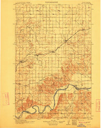
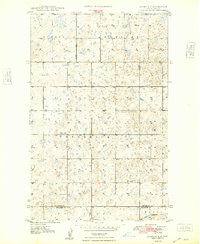
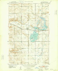
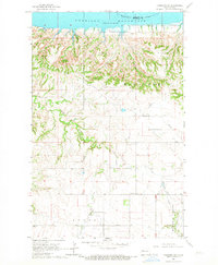
(143)- 1909 Map of Glendive
 1909 Glendive1909 Print · USGSCovers Williams County, including Sidney, Glendive, and other nearby areas
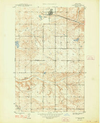
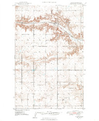
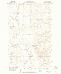
 - 1911 Map of Ray
 1911 Ray1911 Print · USGSCovers Williams County, including Ray, Epping, and other nearby areas2 unique versions available
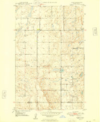
 - 1946 Map of Brush Lake, 1955 Print
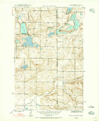 1946 Brush Lake1955 Print · USGSCovers Williams County, including Sheridan County, United States, and other nearby areas3 unique versions available
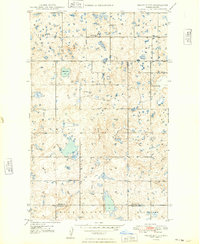
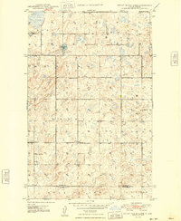
 - 1948 Map of Grenora
 1948 Grenora1948 Print · USGSCovers Williams County, including Grenora, United States, and other nearby areas
 - 1948 Map of Smoky Butte
 1948 Smoky Butte1948 Print · USGSCovers Williams County, including Divide County, United States, and other nearby areas
 - 1948 Map of Alamo N.E.
 1948 Alamo N.E.1948 Print · USGSCovers Williams County, including Divide County, United States, and other nearby areas
 - 1948 Map of Hanks
 1948 Hanks1948 Print · USGSCovers Williams County, including Hanks, United States, and other nearby areas2 unique versions available
 - 1948 Map of Stady
 1948 Stady1948 Print · USGSCovers Williams County, including Stady, Divide County, and other nearby areas
 - 1948 Map of Brush Lake
 1948 Brush Lake1948 Print · USGSCovers Williams County, including Sheridan County, United States, and other nearby areas
 - 1948 Map of Bright Water Lake
 1948 Bright Water Lake1948 Print · USGSCovers Williams County, including Divide County, United States, and other nearby areas
 - 1948 Map of Zahl
 1948 Zahl1948 Print · USGSCovers Williams County, including Zahl, United States, and other nearby areas
 - 1953 Map of Williston, 1968 Print
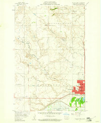
 1953 Williston1968 Print · USGSCovers Williams County, including Williston, New Town, and other nearby areas2 unique versions available
 - 1953 Map of Watford City, 1968 Print
 1953 Watford City1968 Print · USGSCovers Williams County, including Watford City, New Town, and other nearby areas3 unique versions available
 - 1954 Map of Glendive, 1967 Print
 1954 Glendive1967 Print · USGSCovers Williams County, including Sidney, Glendive, and other nearby areas2 unique versions available
 - 1954 Map of Wolf Point, 1967 Print
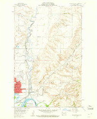
 1954 Wolf Point1967 Print · USGSCovers Williams County, including Wolf Point District, Wolf Point, and other nearby areas2 unique versions available
 - 1957 Map of Glendive
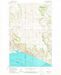
 1957 Glendive1957 Print · USGSCovers Williams County, including Sidney, Glendive, and other nearby areas
 - 1957 Map of Williston
 1957 Williston1957 Print · USGSCovers Williams County, including Williston, New Town, and other nearby areas
 - 1957 Map of Watford City
 1957 Watford City1957 Print · USGSCovers Williams County, including Watford City, New Town, and other nearby areas
 - 1958 Map of Wolf Point
 1958 Wolf Point1958 Print · USGSCovers Williams County, including Wolf Point District, Wolf Point, and other nearby areas
 - 1958 Map of Glendive
 1958 Glendive1958 Print · USGSCovers Williams County, including Sidney, Glendive, and other nearby areas
 - 1959 Map of Marmon SE, 1960 Print
 1959 Marmon SE1960 Print · USGSCovers Williams County, including United States, North Dakota, and other nearby areas3 unique versions available
 - 1959 Map of Williston West, 1960 Print
 1959 Williston West1960 Print · USGSCovers Williams County, including Williston, United States, and other nearby areas2 unique versions available
 - 1959 Map of Williston East, 1960 Print
 1959 Williston East1960 Print · USGSCovers Williams County, including Williston, Avoca, and other nearby areas2 unique versions available
 - 1965 Map of Charlson SW, 1967 Print
 1965 Charlson SW1967 Print · USGSCovers Williams County, including McKenzie County, United States, and other nearby areas
 - 1965 Map of Charlson NE, 1967 Print
 1965 Charlson NE1967 Print · USGSCovers Williams County, including Mountrail County, McKenzie County, and other nearby areas
Showing maps 1-25 of 143
Top cities of Williams County
- Williston historical maps
- Tioga historical maps
- Trenton historical maps
- Ray historical maps
- Grenora historical maps
- Buford historical maps
See more
Frequently asked questions
- What are the different types of historical maps available for Williams County?
- What is the oldest map of Williams County?
- Where can I purchase historical maps of Williams County for my home or office?
- Where can I download high-res historical maps of Williams County?
- Are there historical topographic maps available for Williams County?
- Is there historical aerial imagery available for Williams County?
- Where are historical maps of Williams County sourced from?