2020s Maps of Williams County, North Dakota
Explore 128 historic maps of Williams County from the 2020s. These maps offer a rare glimpse into what life looked like during the 2020s — showing old roads, neighborhoods, homes, and landmarks that have changed or disappeared over time.
Whether you're researching your family's past, planning a metal detecting trip, or studying how Williams County's landscape evolved across the 2020s, these high-resolution maps are a powerful tool for exploring the history of this region.
- Focus on a specific era: All maps on this page are from the 2020s, giving you a focused view of this time period.
- See what’s changed: Compare century-old streets, trails, and buildings to today's modern landscape using overlays and satellite layers.
- Research with precision: Use these maps for genealogy, historical research, land use analysis, or educational projects.
- View, download, or print: Maps are fully viewable online in high resolution, and can be downloaded or printed for your own records.
Start exploring Williams County's history through authentic maps from the 2020s. This is your window into the past.
Williams County, ND maps
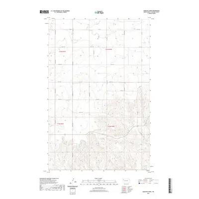
(128)- 2020 Map of Red Bank Creek, 2020 Print
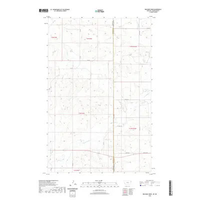 2020 Red Bank Creek2020 Print · USGSCovers Williams County, including Roosevelt County, United States, and other nearby areas
 - 2020 Map of Brush Lake, 2020 Print
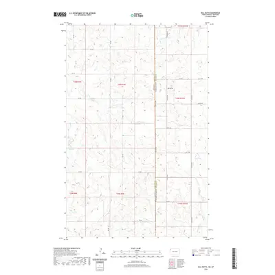
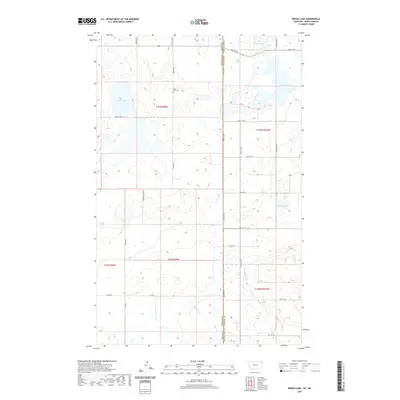 2020 Brush Lake2020 Print · USGSCovers Williams County, including Sheridan County, United States, and other nearby areas
 - 2020 Map of Bainville SE, 2020 Print
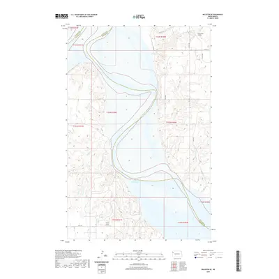
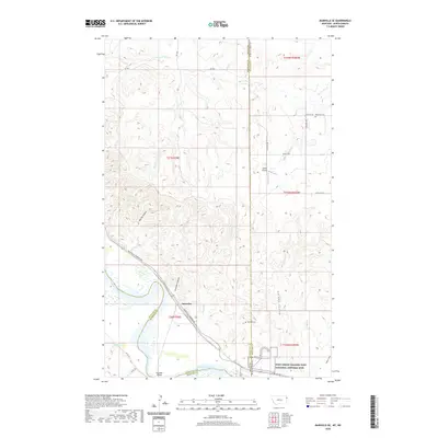 2020 Bainville SE2020 Print · USGSCovers Williams County, including Snowden, Roosevelt County, and other nearby areas
 - 2020 Map of Brush Mountain, 2020 Print
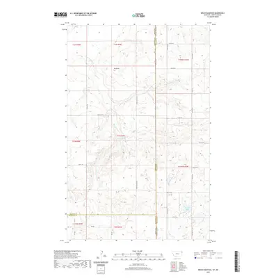 2020 Brush Mountain2020 Print · USGSCovers Williams County, including Roosevelt County, Sheridan County, and other nearby areas
 - 2020 Map of Dominek Lake, 2020 Print
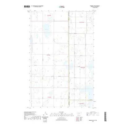 2020 Dominek Lake2020 Print · USGSCovers Williams County, including Sheridan County, Divide County, and other nearby areas
 - 2020 Map of Bull Butte, 2020 Print
 2020 Bull Butte2020 Print · USGSCovers Williams County, including Roosevelt County, United States, and other nearby areas
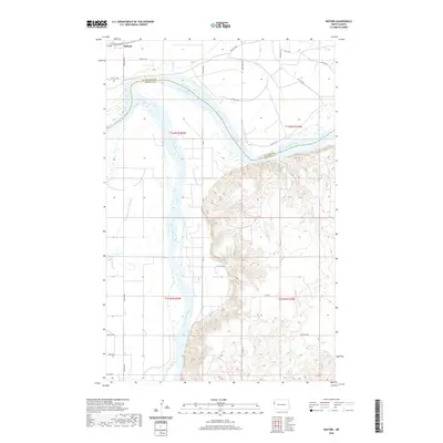
 - 2020 Map of Dore, 2020 Print
 2020 Dore2020 Print · USGSCovers Williams County, including Dore, Nohly, and other nearby areas
 - 2020 Map of Buford, 2020 Print
 2020 Buford2020 Print · USGSCovers Williams County, including Buford, McKenzie County, and other nearby areas
 - 2020 Map of Cartwright NE, 2020 Print
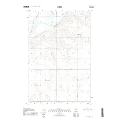 2020 Cartwright NE2020 Print · USGSCovers Williams County, including McKenzie County, United States, and other nearby areas
 - 2020 Map of Bonetraill, 2020 Print
 2020 Bonetraill2020 Print · USGSCovers Williams County, including Bonetraill, United States, and other nearby areas
 - 2020 Map of Stockyard Creek, 2020 Print
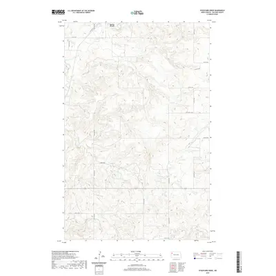 2020 Stockyard Creek2020 Print · USGSCovers Williams County, including Springbrook, United States, and other nearby areas
 - 2020 Map of Cussicks Spring, 2020 Print
 2020 Cussicks Spring2020 Print · USGSCovers Williams County, including Lunds Landing, McKenzie County, and other nearby areas
 - 2020 Map of Williston SE, 2020 Print
 2020 Williston SE2020 Print · USGSCovers Williams County, including McKenzie County, United States, and other nearby areas
 - 2020 Map of Williston SW, 2020 Print
 2020 Williston SW2020 Print · USGSCovers Williams County, including McKenzie County, United States, and other nearby areas
 - 2020 Map of Red Mike Hill, 2020 Print
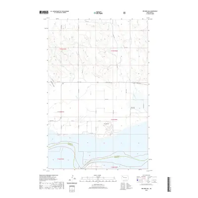 2020 Red Mike Hill2020 Print · USGSCovers Williams County, including McKenzie County, United States, and other nearby areas
 - 2020 Map of Grenora, 2020 Print
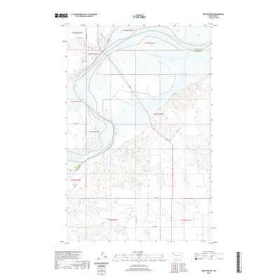
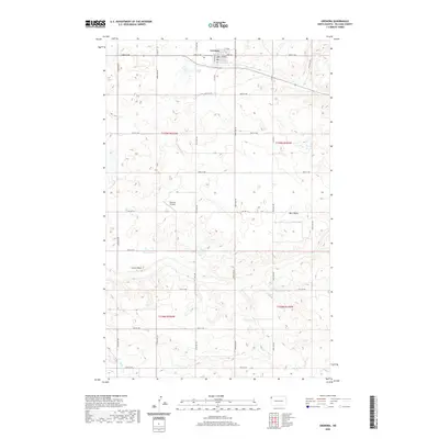 2020 Grenora2020 Print · USGSCovers Williams County, including Grenora, United States, and other nearby areas
 - 2020 Map of Gamache Creek, 2020 Print
 2020 Gamache Creek2020 Print · USGSCovers Williams County, including United States, North Dakota, and other nearby areas
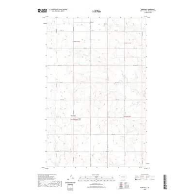
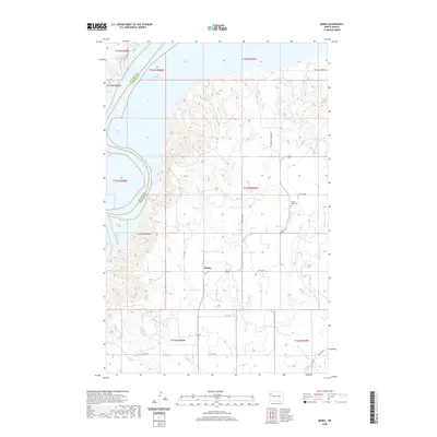
 - 2020 Map of Banks, 2020 Print
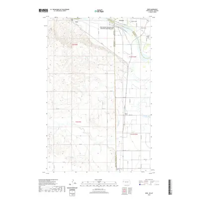
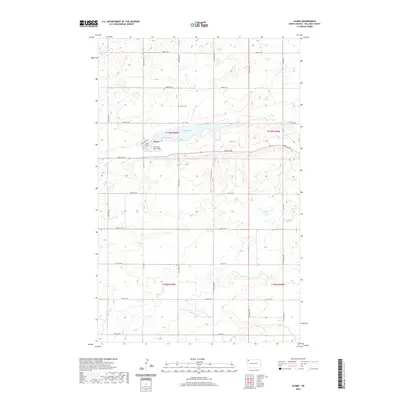
 2020 Banks2020 Print · USGSCovers Williams County, including Banks, McKenzie County, and other nearby areas
 - 2020 Map of Ray SE, 2020 Print
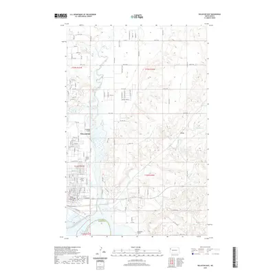
 2020 Ray SE2020 Print · USGSCovers Williams County, including United States, North Dakota, and other nearby areas
 - 2020 Map of Williston East, 2020 Print
 2020 Williston East2020 Print · USGSCovers Williams County, including Williston, Avoca, and other nearby areas
 - 2020 Map of Hamlet, 2020 Print
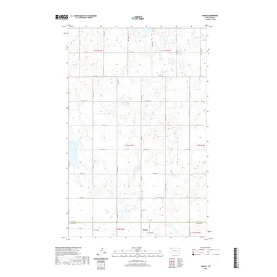 2020 Hamlet2020 Print · USGSCovers Williams County, including Hamlet, Divide County, and other nearby areas
 - 2020 Map of Tioga SE, 2020 Print
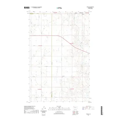 2020 Tioga SE2020 Print · USGSCovers Williams County, including White Earth, Mountrail County, and other nearby areas
 - 2020 Map of Alamo, 2020 Print
 2020 Alamo2020 Print · USGSCovers Williams County, including Alamo, United States, and other nearby areas
 - 2020 Map of Ray, 2020 Print
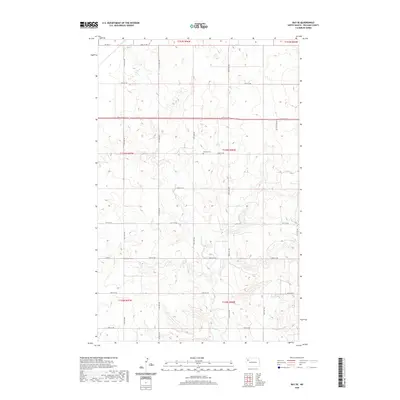
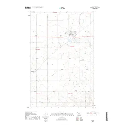 2020 Ray2020 Print · USGSCovers Williams County, including Ray, United States, and other nearby areas
 - 2020 Map of Camp Lake, 2020 Print
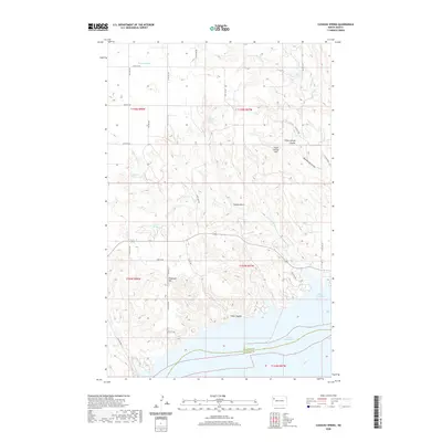
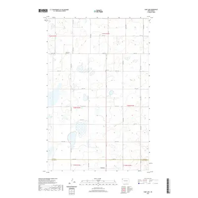 2020 Camp Lake2020 Print · USGSCovers Williams County, including Grenora, Divide County, and other nearby areas
Showing maps 1-25 of 128
Top cities of Williams County
- Williston historical maps
- Tioga historical maps
- Trenton historical maps
- Ray historical maps
- Grenora historical maps
- Buford historical maps
See more
Frequently asked questions
- What are the different types of historical maps available for Williams County?
- What is the oldest map of Williams County?
- Where can I purchase historical maps of Williams County for my home or office?
- Where can I download high-res historical maps of Williams County?
- Are there historical topographic maps available for Williams County?
- Is there historical aerial imagery available for Williams County?
- Where are historical maps of Williams County sourced from?