2010s Maps of Williams County, North Dakota
Explore 192 historic maps of Williams County from the 2010s. These maps offer a rare glimpse into what life looked like during the 2010s — showing old roads, neighborhoods, homes, and landmarks that have changed or disappeared over time.
Whether you're researching your family's past, planning a metal detecting trip, or studying how Williams County's landscape evolved across the 2010s, these high-resolution maps are a powerful tool for exploring the history of this region.
- Focus on a specific era: All maps on this page are from the 2010s, giving you a focused view of this time period.
- See what’s changed: Compare century-old streets, trails, and buildings to today's modern landscape using overlays and satellite layers.
- Research with precision: Use these maps for genealogy, historical research, land use analysis, or educational projects.
- View, download, or print: Maps are fully viewable online in high resolution, and can be downloaded or printed for your own records.
Start exploring Williams County's history through authentic maps from the 2010s. This is your window into the past.
Williams County, ND maps
(192)- 2011 Map of Buford, 2011 Print
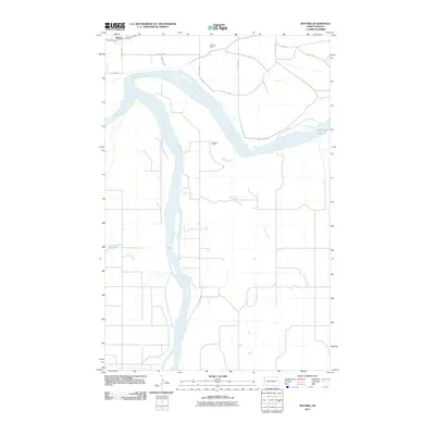 2011 Buford2011 Print · USGSThe confluence of the Missouri and Yellowstone Rivers dominates this North Dakota landscape during the early 21st century. Genealogists and historians can trace the rural network of the Buford area, locating the E Brenna Ranch, Anderson Ranch, and Nohly Lake.
 - 2011 Map of Cartwright NE, 2011 Print
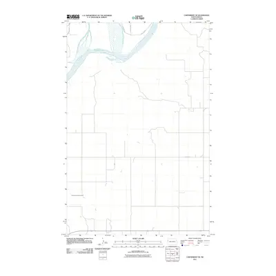 2011 Cartwright NE2011 Print · USGSWilliams County near the Montana border remains a landscape of open prairie and section-line roads in the early twenty-first century. Researchers can locate the Yellowstone Point Cemetery and trace the southern banks of Audubon Lake.
 - 2011 Map of Epping NW, 2011 Print
 2011 Epping NW2011 Print · USGSNorth Dakota's rural expanses in the early twenty-first century are defined here by the orderly grid of section roads and quiet prairie drainages. Genealogists can locate the Bethany Valley Cemetery and trace the course of the East Fork Little Muddy River.
 - 2011 Map of Hanks, 2011 Print
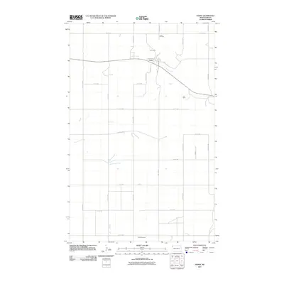 2011 Hanks2011 Print · USGSHanks and the surrounding Williams County plains are shown in the early twenty-first century as a landscape of grid-line roads and prairie coulees. Genealogists and historians can locate the Bublitz Mine and Erke Mine or find family plots at Hanks Cemetery.
 - 2011 Map of Stady, 2011 Print
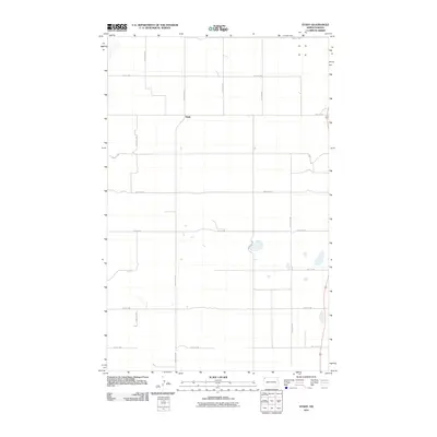 2011 Stady2011 Print · USGSStady and the surrounding Divide County prairie are captured here in the early 2000s, reflecting the region's deep agricultural roots. Researchers can trace the precise section-line grid of roads like County Hwy-3 and 90th St NW to locate family land and rural homesteads near Stady.
 - 2011 Map of Bonetraill, 2011 Print
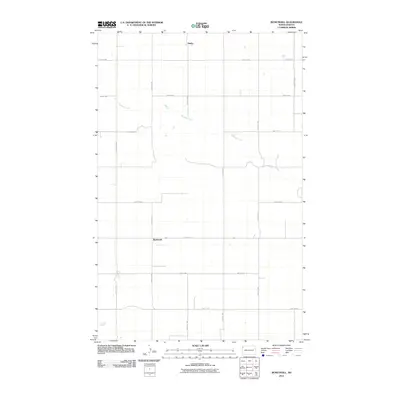 2011 Bonetraill2011 Print · USGSWilliams County's high prairie is shown in the early twenty-first century, centered on the small rural hubs of the region. Researchers can trace the section-line roads and drainage of Blacktail Creek near the settlements of Bonetraill and Gladys.
 - 2011 Map of Williston SE, 2011 Print
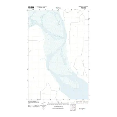 2011 Williston SE2011 Print · USGSThe Missouri River valley in Williams County is documented here during the early twenty-first century as it opens into Lake Sakakawea. Researchers can trace the drainage patterns of Indian Creek and Crazy Man Coulee or follow the path of County Hwy 11.
 - 2011 Map of Grenora, 2011 Print
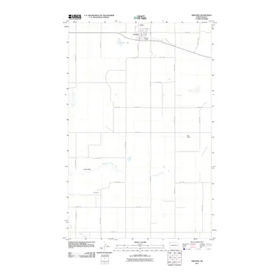 2011 Grenora2011 Print · USGSThe rural northwest corner of North Dakota is captured here in the early twenty-first century, centered on the small plains town of Grenora. Researchers can locate industrial and aviation sites like the Fulveg Mine, Grenora Airfield, and landmarks including Sowers Bluff.
 - 2011 Map of Trenton SW, 2011 Print
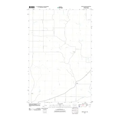 2011 Trenton SW2011 Print · USGSMarley and the surrounding prairie of Williams County are captured here in the early twenty-first century. Researchers can locate family landmarks such as the Buford Cemetery and A Jellesed Ranch nestled among Eightmile Creek and Sixmile Creek.
 - 2011 Map of Hamlet, 2011 Print
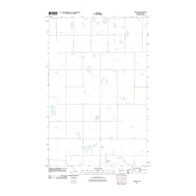 2011 Hamlet2011 Print · USGSThe small settlement of Hamlet and its surrounding prairie landscapes are captured here in the early twenty-first century. Genealogists and local historians can locate Trinity Cemetery and trace the drainage patterns of Jensen Lake across the section-line grid.
 - 2011 Map of Epping NE, 2011 Print
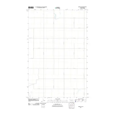 2011 Epping NE2011 Print · USGSWilliams County's high plains are captured here in the early twenty-first century, showing the intersection of natural waterways and human engineering. Researchers can trace the path of the Little Muddy River or locate specific sections along 74th St NW and 122nd Ave NW.
 - 2011 Map of Smoky Butte, 2011 Print
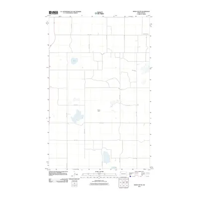 2011 Smoky Butte2011 Print · USGSWilliams County in the early twenty-first century remains a landscape of section line roads and prairie depressions. Researchers can locate the Herman Cemetery or trace the geography of local landmarks like Smoky Butte and Musta Lake.
 - 2011 Map of Chris Creek, 2011 Print
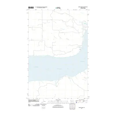 2011 Chris Creek2011 Print · USGSThe Missouri River breaks into the expansive Lake Sakakawea in this Williams County landscape at the start of the 2010s. Trace rural routes and landmarks along the water like Camp Cherith, Chris Creek, and the drainage of Halfbreed Creek.
 - 2011 Map of Zahl, 2011 Print
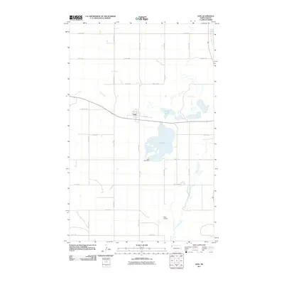 2011 Zahl2011 Print · USGSWilliams County, North Dakota, is captured here in the early 2000s, showing the rural settlement of Zahl and its surrounding prairie wetlands. Genealogists and researchers can trace the local landscape around Lake Zahl, Lake Zahl Dam, and the Little Muddy River.
 - 2011 Map of Stockyard Creek, 2011 Print
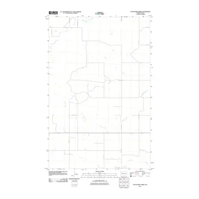 2011 Stockyard Creek2011 Print · USGSWilliams County in the early twenty-first century remains a landscape of sprawling agricultural grids and prairie drainage. Researchers can trace the paths of Stockyard Creek and Stony Creek as they wind through a network of rural roads like Broadway St and 1804.
 - 2011 Map of Epping, 2011 Print
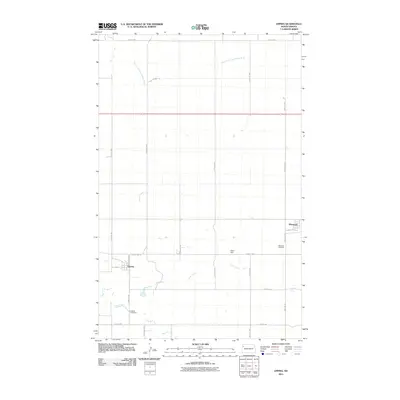 2011 Epping2011 Print · USGSIn the early twenty-first century, this Williams County terrain shows a well-defined agricultural grid connecting the communities of Epping and Wheelock. Researchers can locate specific family burial sites at Epping Cemetery and Wheelock Cemetery or trace the path of Stony Creek.
 - 2011 Map of Lake Jessie, 2011 Print
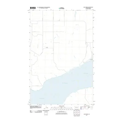 2011 Lake Jessie2011 Print · USGSWilliams County's prairie landscape meets the expansive waters of the Missouri during the early twenty-first century. Genealogists and local historians can locate the Hauge Cemetery and trace the small settlement at Lake Jessie near the banks of Plum Creek.
 - 2011 Map of Alamo NE, 2011 Print
 2011 Alamo NE2011 Print · USGSWilliams County remains a landscape of systematic prairie settlement and agricultural heritage in the early twenty-first century. Genealogists and local historians can trace family ties at the East Opdal Cemetery and navigate the grid of early section-line roads like County Hwy 14 and 92nd St NW.
 - 2011 Map of Bright Water Lake, 2011 Print
 2011 Bright Water Lake2011 Print · USGSThe northwestern North Dakota prairie appears in the early twenty-first century as a strictly organized grid of rural roads and scattered glacial wetlands. Genealogists and land researchers can trace property access along County Hwy-11 or locate the shoreline of Bright Water Lake.
 - 2011 Map of Trenton NE, 2011 Print
 2011 Trenton NE2011 Print · USGSWilliams County at the start of the 2010s remains a landscape of high-plains agriculture and expansive section lines. Local historians can locate the Painted Woods Cemetery and trace the paths of Sand Creek and Painted Woods Creek through the prairie.
 - 2011 Map of Gamache Creek, 2011 Print
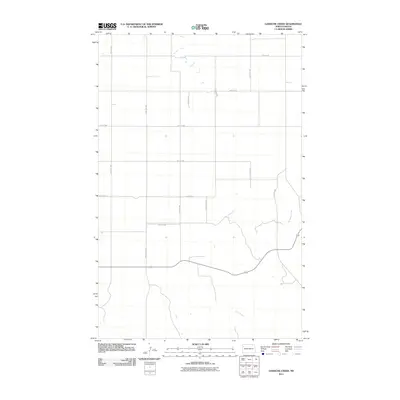 2011 Gamache Creek2011 Print · USGSWilliams County in the early 2000s remains a landscape of traditional section-line roads and prairie drainages. Researchers can trace rural property access along 124th Ave NW and follow the natural meanders of Gamache Creek and Short Creek.
 - 2011 Map of Spring Brook, 2011 Print
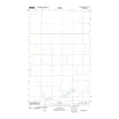 2011 Spring Brook2011 Print · USGSWilliams County's northern prairie is captured here in the early twenty-first century, centered on the small settlement of Spring Brook. Genealogists and researchers can trace the local landscape through features like Stony Creek, Epping Dam, and the Upper Missouri Bible Camp.
 - 2011 Map of Banks, 2011 Print
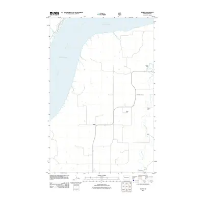 2011 Banks2011 Print · USGSMcKenzie County ranching country is captured here in the early twenty-first century, showing the intersection of the Missouri River and vast prairie holdings. Genealogists can locate family landmarks like the M Wold Ranch and the Garden Valley Cemetery.
 - 2011 Map of Trenton, 2011 Print
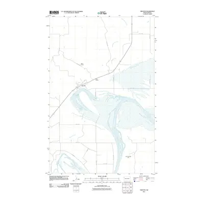 2011 Trenton2011 Print · USGSNorth Dakota's riverfront comes into focus near the Missouri's wide banks in the early twenty-first century. Researchers can trace the layout of the Trenton community, family-named landmarks like Miller Coulee, and the prominent Crow Fly High Hill overlook.
 - 2011 Map of Alamo, 2011 Print
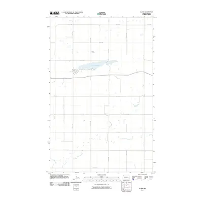 2011 Alamo2011 Print · USGSAlamo and the surrounding Williams County prairie are documented here during the early twenty-first century. Genealogists and local researchers can trace the township grid from Main St to the Alamo Cemetery and the banks of the Little Muddy River.
Showing maps 1-25 of 192
Top cities of Williams County
- Williston historical maps
- Tioga historical maps
- Trenton historical maps
- Ray historical maps
- Grenora historical maps
- Buford historical maps
See more
Frequently asked questions
- What are the different types of historical maps available for Williams County?
- What is the oldest map of Williams County?
- Where can I purchase historical maps of Williams County for my home or office?
- Where can I download high-res historical maps of Williams County?
- Are there historical topographic maps available for Williams County?
- Is there historical aerial imagery available for Williams County?
- Where are historical maps of Williams County sourced from?