2020s Maps of Tillman County, Oklahoma
Explore 25 historic maps of Tillman County from the 2020s. These maps offer a rare glimpse into what life looked like during the 2020s — showing old roads, neighborhoods, homes, and landmarks that have changed or disappeared over time.
Whether you're researching your family's past, planning a metal detecting trip, or studying how Tillman County's landscape evolved across the 2020s, these high-resolution maps are a powerful tool for exploring the history of this region.
- Focus on a specific era: All maps on this page are from the 2020s, giving you a focused view of this time period.
- See what’s changed: Compare century-old streets, trails, and buildings to today's modern landscape using overlays and satellite layers.
- Research with precision: Use these maps for genealogy, historical research, land use analysis, or educational projects.
- View, download, or print: Maps are fully viewable online in high resolution, and can be downloaded or printed for your own records.
Start exploring Tillman County's history through authentic maps from the 2020s. This is your window into the past.
Tillman County, OK maps
(25)- 2022 Map of Frederick SE, 2022 Print
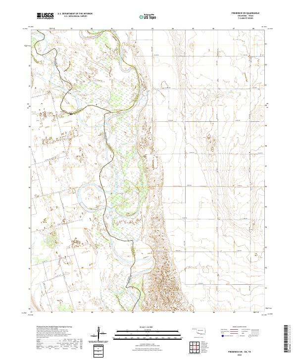
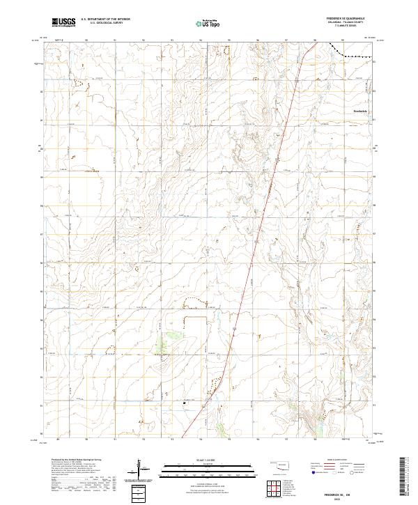 2022 Frederick SE2022 Print · USGSTillman County's agricultural heartland is documented here in the early twenty-first century, showing the enduring section-line grid of the southern plains. Researchers can locate the Davidson Cem and trace the winding paths of Suttle Cr and Bottle Cr.
 - 2022 Map of Davidson, 2022 Print
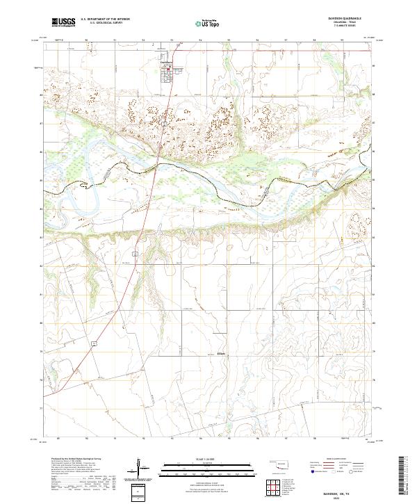 2022 Davidson2022 Print · USGSThe Red River borderlands of Oklahoma and Texas are captured here in the early twenty-first century, showing the rural grid and riverine geography. Local historians can trace the streets of Davidson or follow the paths of Bottle Cr and Adams Cr through the agricultural landscape.
 - 2022 Map of Tipton, 2022 Print
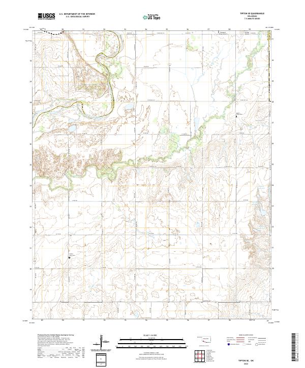
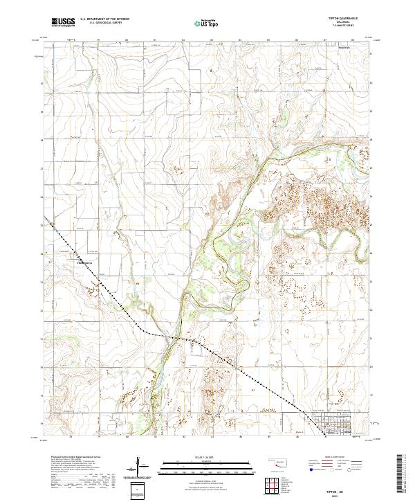 2022 Tipton2022 Print · USGSSouthwest Oklahoma at the start of the 2020s shows a landscape defined by the winding North Fork Red River and its rural hubs. Researchers can trace the local road networks and town layouts of Tipton, Headrick, and Humphreys.
 - 2022 Map of Frederick, 2022 Print
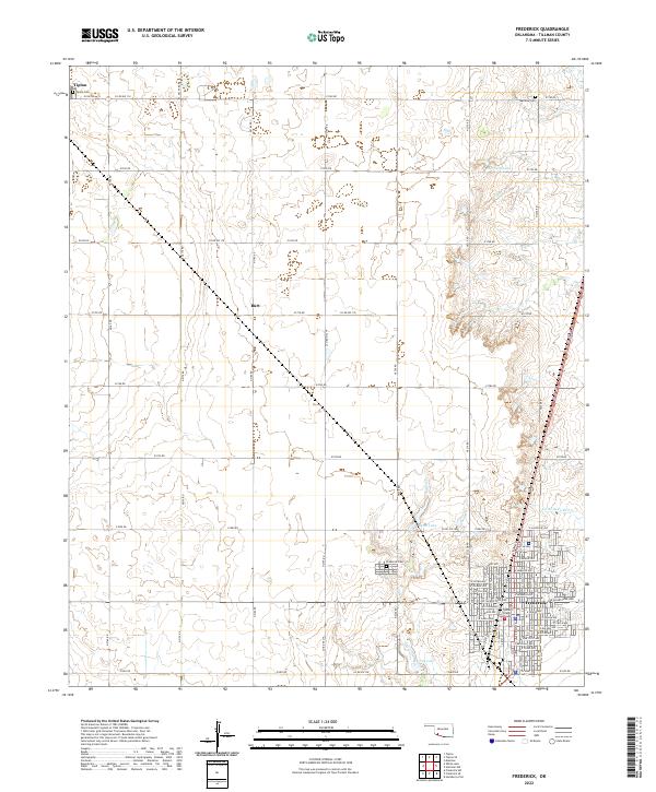 2022 Frederick2022 Print · USGSTillman County, Oklahoma, is shown in the early twenty-first century, centered on the regional hub of Frederick. Researchers can trace old family burial sites at Tipton Cemetery and Manitou Cemetery or locate the Tillman County Courthouse.
 - 2022 Map of Tipton SE, 2022 Print
 2022 Tipton SE2022 Print · USGSTillman County in the early 2020s shows a landscape of riverine boundaries and rural homesteads. Genealogists and historians can trace local family landmarks like Otter Creek Cem, Center View Cem, and the reaches of Deadman Cr.
 - 2022 Map of Long Mountain, 2022 Print
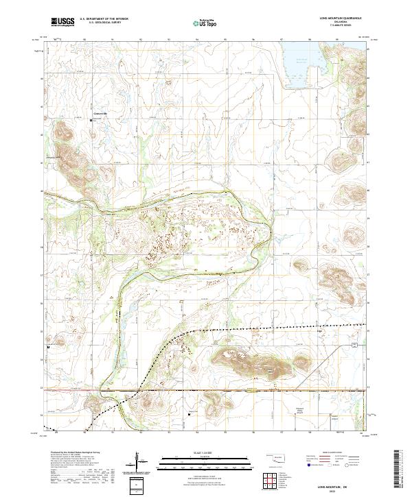 2022 Long Mountain2022 Print · USGSKiowa and Jackson Counties are shown here during the early twenty-first century, defined by the winding course of the North Fork Red River. Genealogists can locate several local burial grounds, including Centerville Cem and Rogers Cem, near landmarks like Cable Mtn.
 - 2022 Map of White Lake, 2022 Print
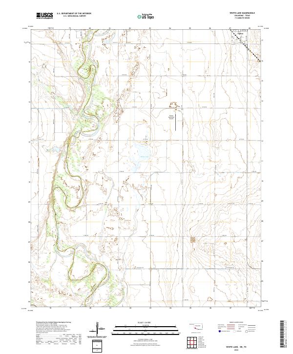 2022 White Lake2022 Print · USGSSouthwest Oklahoma at the turn of the decade is defined by the agricultural grid surrounding the town of Tipton. Researchers can trace land boundaries along the North Fork Red River or locate local landmarks like White Lake and the Tipton Municipal Airport.
 - 2022 Map of Frederick SW, 2022 Print
 2022 Frederick SW2022 Print · USGSThe Red River valley at the Oklahoma-Texas border is captured here in its modern rural state. Trace the shifting confluence of the Red River and North Fork Red River along with the grid of section roads like E1900 Rd.
 - 2022 Map of Augar Creek, 2022 Print
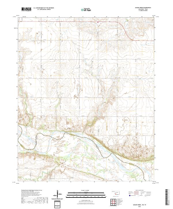 2022 Augar Creek2022 Print · USGSThe Red River valley at the Oklahoma-Texas border is captured here in its modern agricultural form. Genealogists and local historians can trace family land proximity to the Red River or along rural routes like Flippin Rd and Moeller Rd.
 - 2022 Map of Hollister, 2022 Print
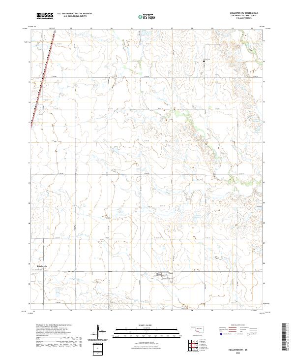
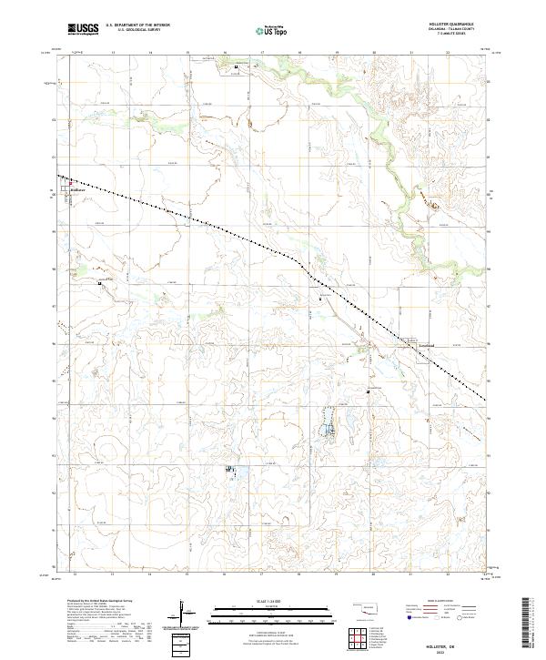 2022 Hollister2022 Print · USGSTillman County's agricultural heartland is documented here in the early twenty-first century, showing the enduring layouts of small prairie towns. Genealogists can locate several local burial sites, including Hollister Cemetery and Loveland Cemetery, alongside the winding Little Deep Red Creek.
 - 2022 Map of Indiahoma, 2022 Print
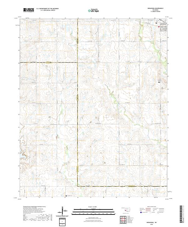 2022 Indiahoma2022 Print · USGSIndiahoma and the surrounding southwestern Oklahoma prairies are captured here in the early twenty-first century. Researchers can locate family sites and rural landmarks like Post Oak Cem, Indiahoma IOOF Cem, and the waters of Horse Cr.
 - 2022 Map of Hollister NE, 2022 Print
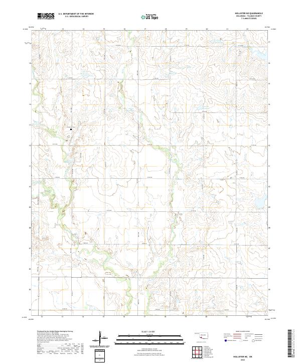 2022 Hollister NE2022 Print · USGSTillman County's agricultural heartland is documented here in the early twenty-first century, showing the intricate grid of rural section-line roads. Genealogists and historians can locate Dickerson Cem or trace the paths of Horse Cr and Deep Red Cr.
 - 2022 Map of Grandfield, 2022 Print
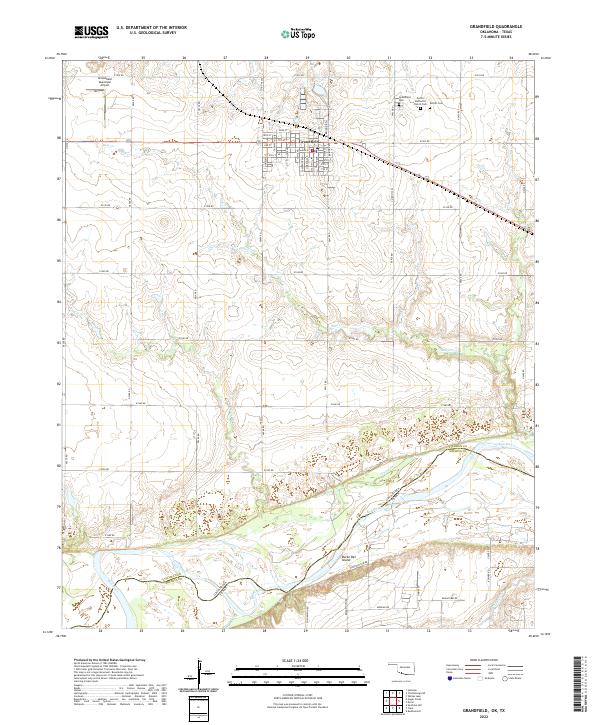 2022 Grandfield2022 Print · USGSSettled along the Oklahoma-Texas border, this Tillman County region shows the transition from the town grid of Grandfield to the alluvial bottoms of the Red River. Genealogists can locate family sites near the Grandfield Cem or trace the legacy of Eschiti Methodist Church.
 - 2022 Map of Post Oak Creek, 2022 Print
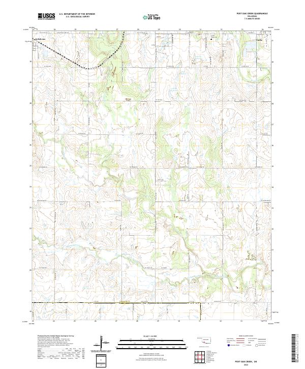 2022 Post Oak Creek2022 Print · USGSThe rural expanse between Indiahoma and Cache is documented here during the early twenty-first century. Genealogists and local historians can locate the Cache Indian Cemetery and trace family-named routes like Mr Benson's Rd along Post Oak Creek.
 - 2022 Map of Whites Lake, 2022 Print
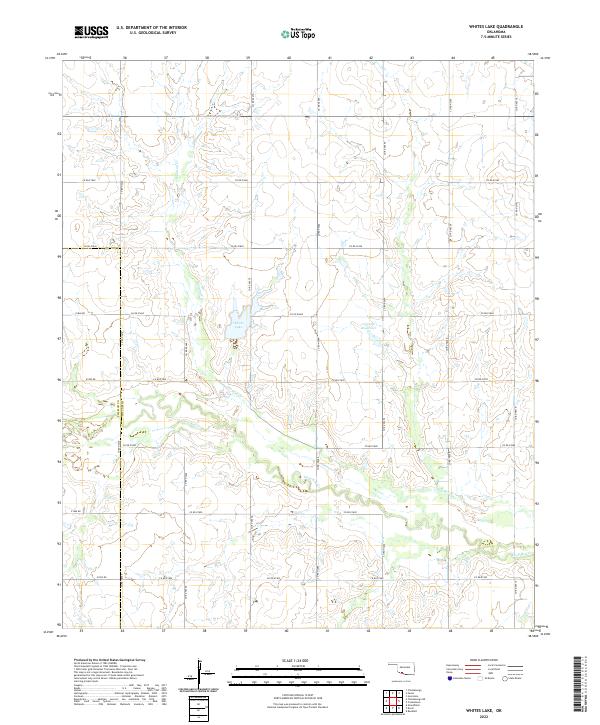 2022 Whites Lake2022 Print · USGSCotton County ranchlands and rural section roads come into focus in this modern survey of the Oklahoma prairie. Genealogists and land researchers can trace the waters of Whites Lake and the confluence of Sanatag Cr and Deep Red Cr.
 - 2022 Map of Chattanooga SW, 2022 Print
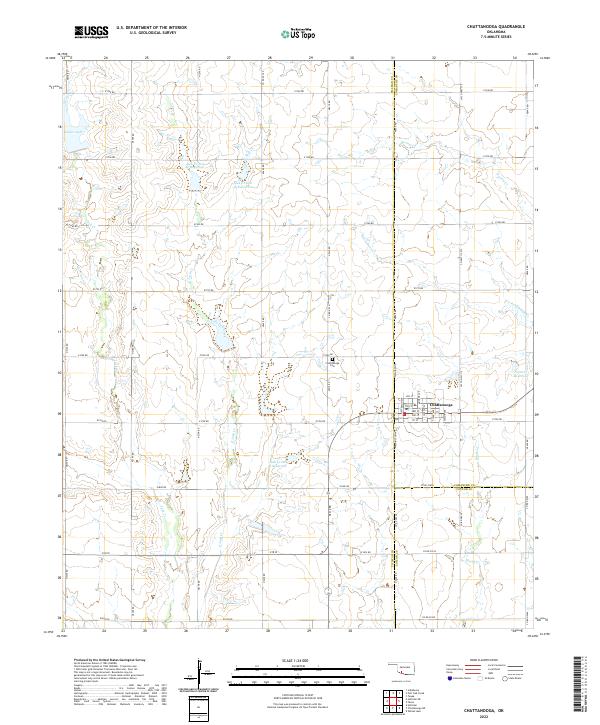
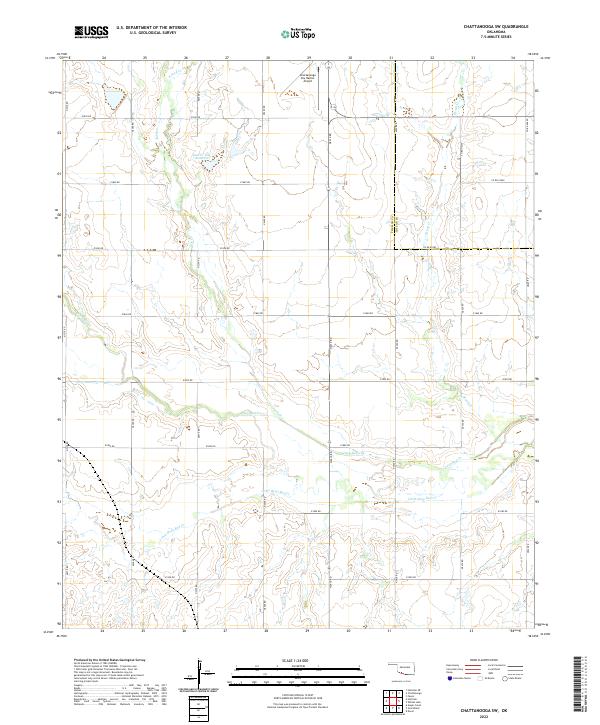 2022 Chattanooga SW2022 Print · USGSThe borderlands of Tillman and Cotton Counties are shown here in the 2020s, dominated by the rolling plains and section-line roads. Researchers can trace the hydrography of Deep Red Cr and locate local landmarks like the Chattanooga Sky Harbor Airport and Jack Cr Site 7 Reservoir.
 - 2022 Map of Hollister NW, 2022 Print
 2022 Hollister NW2022 Print · USGSTillman County is captured here in the early 2020s, showing the intersection of the Frederick town limits with the vast section-line road network. Genealogists and local researchers can locate Bethel Cem or trace the winding paths of Deadman Cr and Deep Red Cr.
 - 2022 Map of Hackberry Flat, 2022 Print
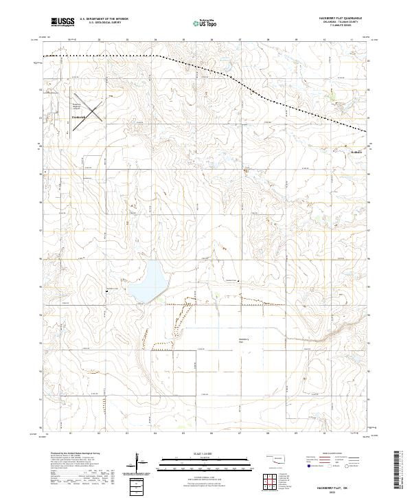 2022 Hackberry Flat2022 Print · USGSOklahoma's southwestern plains come alive in this recent survey of Tillman County's rural townships. Local historians can trace family ties at Hackberry Cem and Dunkard Cem or explore the landscape around Frederick and Hollister.
 - 2022 Map of Devol, 2022 Print
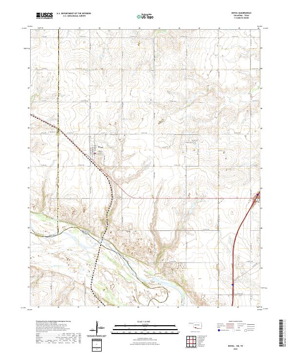 2022 Devol2022 Print · USGSSouthern Oklahoma at the Texas border shows a landscape organized by section-line roads and the winding Red River. Genealogists and local historians can trace the townsite of Devol, locating the PO and Devol Cem near the river's north bank.
 - 2022 Map of Cowboy Springs, 2022 Print
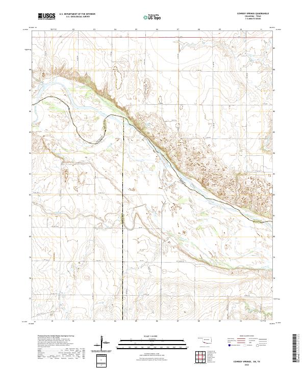 2022 Cowboy Springs2022 Print · USGSThe Red River borderlands of Oklahoma and Texas are shown here in detail, capturing the river's winding path between Tillman and Wilbarger counties. Local historians can trace agricultural land use and natural water features like Cowboy Springs and Adams Cr.
 - 2022 Map of Manitou, 2022 Print
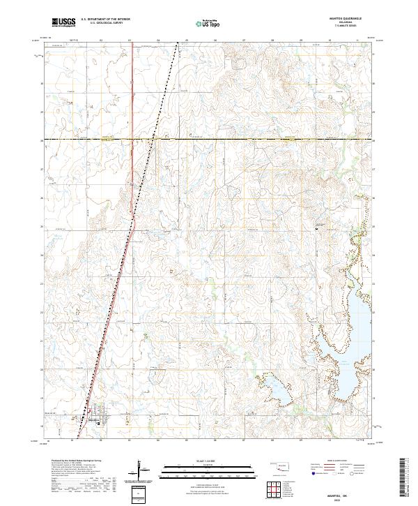 2022 Manitou2022 Print · USGSIn the open country along the Tillman and Kiowa county line, this modern survey shows the town of Manitou and its surrounding water systems. Genealogists can locate North Deep Red Cem while researchers trace the flow of Deep Red Creek into Lake Frederick.
 - 2022 Map of Chattanooga, 2022 Print
 2022 Chattanooga2022 Print · USGSChattanooga and the intersection of Comanche and Tillman counties are captured here in the early twenty-first century. Genealogists and local historians can trace family plots at Chattanooga Cem or study the water systems at Jack Cr Site 2a Reservoir and Kinder Lake.
 - 2022 Map of Oklaunion, 2022 Print
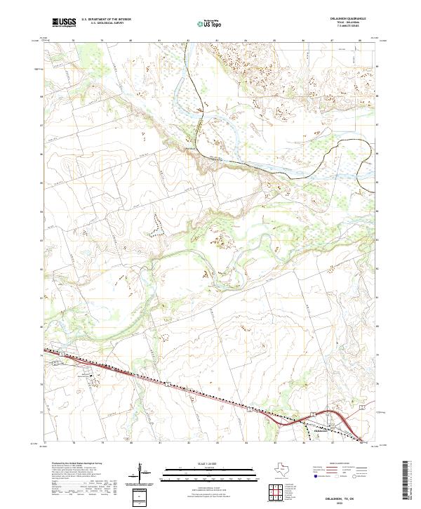 2022 Oklaunion2022 Print · USGSWilbarger County, Texas, is mapped here in the modern era at the confluence of major river systems. Trace local family history at Eastview Memorial Cem or follow the paths of the Pease River and Red River near the landmark Red Bluff.
 - 2022 Map of Clara, 2022 Print
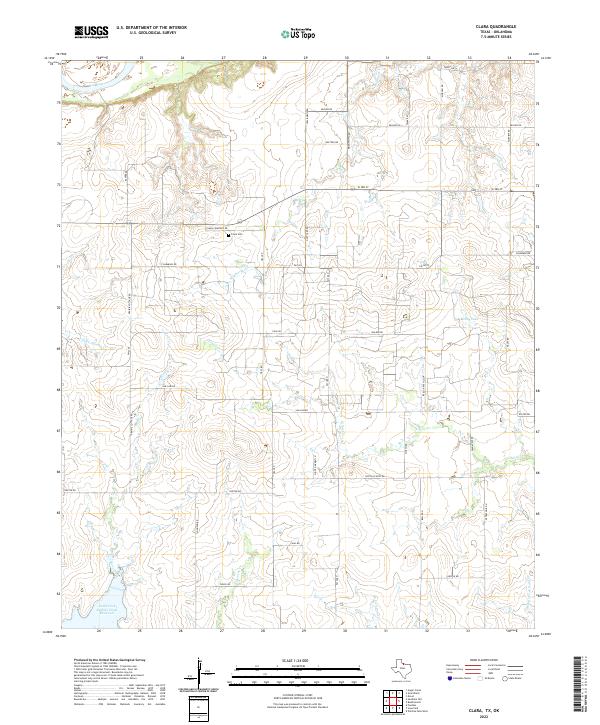 2022 Clara2022 Print · USGSNorthwest of Wichita Falls during the late twenty-teens, this area along the Red River shows a landscape of steady agricultural production and rural homesteads. Genealogists and local historians can trace family land ties via Clara Cem and landmarks like Wyeth School Rd or Reilly Lake.
 - 2022 Map of Sunshine Hill, 2022 Print
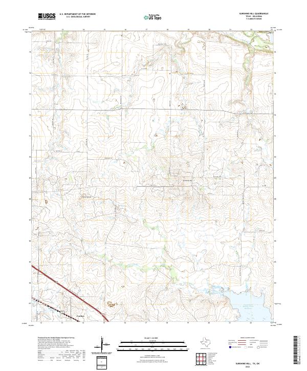 2022 Sunshine Hill2022 Print · USGSWichita County ranchlands and rural outposts are captured here during the early 2020s. Genealogists and local historians can trace family-named routes like Moeller Rd and Goetze Rd or locate the site of Midway Church and the settlement at Fowlkes.
End of results
Showing maps 1-25 of 25
Top cities of Tillman County
- Frederick historical maps
- Grandfield historical maps
- Tipton historical maps
- Davidson historical maps
- Manitou historical maps
- Hollister historical maps
See more
Frequently asked questions
- What are the different types of historical maps available for Tillman County?
- What is the oldest map of Tillman County?
- Where can I purchase historical maps of Tillman County for my home or office?
- Where can I download high-res historical maps of Tillman County?
- Are there historical topographic maps available for Tillman County?
- Is there historical aerial imagery available for Tillman County?
- Where are historical maps of Tillman County sourced from?