Old Maps of Tillman County, Oklahoma for Academic Research
Study the evolution of Tillman County with 162 high-resolution historic maps. Whether you're teaching, researching, or modeling changes in land use, these maps provide essential visual documentation of urban, environmental, and geographic change.
- Analyze long-term change: Track patterns in development, transportation, and natural features.
- Ideal for environmental or urban studies: Support academic projects with primary historical map data.
- Use in the classroom or lab: Educators and researchers rely on these maps to bring historical context to life.
These maps are a powerful tool for teaching, research, and visualizing how Tillman County has changed over the decades.
Tillman County, OK maps
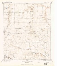
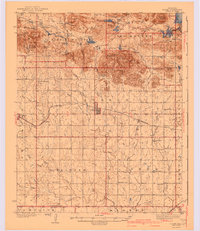
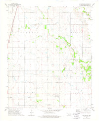
(162)- 1915 Map of Clara, 1961 Print
 1915 Clara1961 Print · USGSWichita County was a land of rural schoolhouses and river crossings during the early twentieth century. Researchers can trace the original locations of Fairview School, Wyeth School, and the settlement of Clara along the banks of the Red River.
 - 1915 Map of Barwise School, 1961 Print
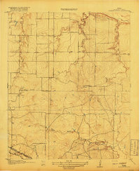
 1915 Barwise School1961 Print · USGSWichita County was a landscape of remote school districts and winding prairie creeks during the early years of the twentieth century. Researchers can trace the rural infrastructure of the era through landmarks like Barwise School, the Fort Worth and Denver City rail line, and Tenth Cavalry Creek.
 - 1918 Map of Barwise School
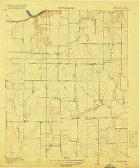
 1918 Barwise School1918 Print · USGSWichita County was a landscape of emerging rural school districts and early transit corridors during the First World War. Genealogists and historians can trace the early property lines and routes connecting Barwise School and Sunshine School with the Fort Worth and Denver City Road.2 unique versions available
 - 1918 Map of Clara
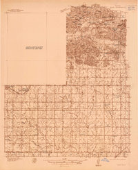
 1918 Clara1918 Print · USGSThe North Texas borderlands along the Red River appear here during the height of the early twentieth-century oil boom era. Researchers can locate the early rural settlements of Clara and Stringtown, alongside historic country schoolhouses like Wyeth School.2 unique versions available
 - 1937 Map of Cache
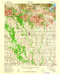
 1937 Cache1937 Print · USGSComanche County reveals its dual nature in the late thirties, split between the high peaks of the Wichita Mountains and the rural farmsteads to the south. Genealogists and historians can locate vanished landmarks like Quilla Sch, Deyo Sch, and the Cache Cem during the height of the local rail-and-ranch economy.
 - 1942 Map of Cache
 1942 Cache1942 Print · USGSComanche County during the late 1930s reveals a unique landscape where the Wichita Mountains Wildlife Refuge meets the rail-side towns of the plains. Genealogists can trace rural life through sites like Post Oak Mission, Devo Memorial Chapel, and the Spring Valley Sch.3 unique versions available
 - 1950 Map of Snyder, 1953 Print
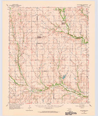
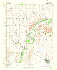
 1950 Snyder1953 Print · USGSKiowa and Tillman Counties come into focus during the early fifties, showing a landscape where the granite peaks of the Wichita Mountains meet the Oklahoma prairie. Genealogists can locate numerous rural landmarks like Richland Sch, Maple Grove Ch, and the Oklahoma Cem.2 unique versions available
 - 1955 Map of Lawton, 1958 Print
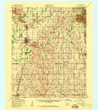
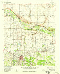
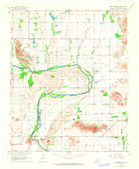
 1955 Lawton1958 Print · USGSSouthwestern Oklahoma and North Texas are shown here in the mid-fifties, dominated by the Wichita Mountains and the vital Red River watershed. Genealogists and historians can trace the foundations of Lawton alongside rural landmarks like Rainy Mountain Church and Pleasant Hill School.5 unique versions available
 - 1956 Map of Post Oak Creek, 1959 Print
 1956 Post Oak Creek1959 Print · USGSSouthwestern Oklahoma's agricultural and mission history comes into focus in the mid-1950s near the Comanche and Tillman county line. Researchers can trace the St Louis - San Francisco rail corridor and find the Nazarene (Indian) Mission near Indiahoma.2 unique versions available
 - 1956 Map of Manitou, 1959 Print
 1956 Manitou1959 Print · USGSIn the Oklahoma plains during the mid-fifties, Manitou stood as a key rail stop along the St Louis San Francisco line. Genealogists and local historians can trace the rural landscape across the Kiowa and Tillman County line to find Deep Red Cemetery and the winding course of Deep Red Creek.
 - 1956 Map of Indiahoma, 1959 Print
 1956 Indiahoma1959 Print · USGSIndiahoma and the surrounding southwestern Oklahoma prairies are captured here in the mid-1950s, a landscape defined by seasonal creeks and rural community centers. Genealogists can trace family roots through the Indiahoma IOOF Cemetery, Post Oak Mission School, and North Deep Red Church.2 unique versions available
 - 1956 Map of Cache, 1960 Print
 1956 Cache1960 Print · USGSSouthwestern Oklahoma at the peak of the mid-century era shows a landscape defined by federal land reserves and rural rail towns. Researchers can trace family history at the Deyo Memorial Chapel or explore the early footprints of Cache and Indiahoma.3 unique versions available
 - 1956 Map of Snyder, 1960 Print
 1956 Snyder1960 Print · USGSSouthwestern Oklahoma's agricultural and mountain landscapes meet in the mid-1950s as the rail lines connect growing prairie towns. Researchers can locate family sites at Sopefield Cemetery, Oak Mission School, or the rural Pilgrim Church.
 - 1957 Map of Burkburnett, 1958 Print
 1957 Burkburnett1958 Print · USGSThe Red River valley in the late fifties was a bustling corridor of oil production and rail transport. Genealogists and historians can trace the foundations of Burkburnett and Grandfield, finding old sites like Clara Ch and the Red River Oil Field.
 - 1958 Map of Davidson, 1959 Print
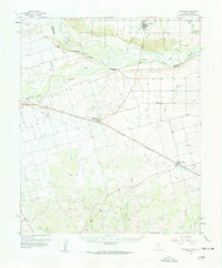 1958 Davidson1959 Print · USGSThe Red River border between Oklahoma and Texas comes alive in this mid-century survey of the river's confluence with the Pease River. Researchers can trace the path of the Fort Worth and Denver (Burlington) rail line through Oklaunion and Harrold or locate rural landmarks like Sharp Gin and Immanuel Ch.2 unique versions available
 - 1958 Map of Frederick, 1959 Print
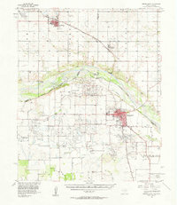
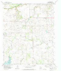
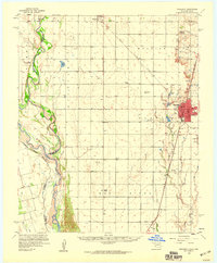 1958 Frederick1959 Print · USGSAcross the Tillman County plains in the late fifties, the landscape was defined by the transition from agriculture to oil. Researchers can trace the rail corridors of the Missouri Kansas Texas or locate local centers like Middick Store and Tesca Ch.
 - 1958 Map of Electra, 1959 Print
 1958 Electra1959 Print · USGSThe Texas-Oklahoma borderlands thrived during the late 1950s as the petroleum industry reshaped the North Texas prairie around Electra. Genealogists and historians can trace the foundations of local communities through landmarks like Haynesville (Punkin Center), Antioch Ch, and the site of Fort Augur.
 - 1962 Map of Chattanooga, 1964 Print
 1962 Chattanooga1964 Print · USGSThe rural plains of Comanche and Tillman counties are captured here in the early 1960s. Genealogists and local historians can trace the foundations of Faxon and Chattanooga, along with landmarks like Ahpeatone Sch, Bible Ch, and the Chattanooga Cem.
 - 1964 Map of Tipton SE, 1965 Print
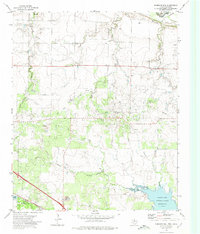
 1964 Tipton SE1965 Print · USGSTillman County and the Red River forks are mapped here during the mid-sixties, capturing the rural community life of the Oklahoma plains. Genealogists and researchers can locate the Center View Cem, Mt Gillian Ch, and the Pleasant Valley Ch.2 unique versions available
 - 1964 Map of Tipton, 1965 Print
 1964 Tipton1965 Print · USGSOklahoma's southwestern plains come into focus in the mid-sixties, dominated by the winding course of the North Fork Red River. Genealogists and historians can trace the rail-side growth of Tipton, the Boucher Oil Field, and the site of a local Orphanage.2 unique versions available
 - 1964 Map of Long Mountain, 1965 Print
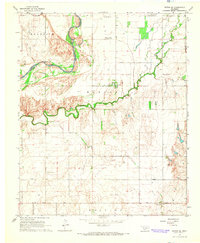
 1964 Long Mountain1965 Print · USGSSouthwestern Oklahoma's river valley and granite peaks are meticulously captured during the mid-1960s. Genealogists and historians can trace the paths of the St Louis - San Francisco railroad and locate rural landmarks like Headrick Cem and Centerville.2 unique versions available
 - 1972 Map of Clara, 1975 Print
 1972 Clara1975 Print · USGSWichita County was defined by its petroleum landscape in the 1970s, characterized by expansive energy infrastructure and small rural hubs. Researchers can trace the layout of the Clara Oil Field, locate the Clara Cem, and follow the path of Tenth Cavalry Creek.
 - 1972 Map of Sunshine Hill, 1975 Print
 1972 Sunshine Hill1975 Print · USGSThe oil-rich corridor of northern Wichita County comes to life in the early seventies, where petroleum production meets the Red River border. Trace the industrial footprint of the Oil Field and the rail operations at Fowlkes near the Sunshine Hill summit.
 - 1974 Map of Hollister NW, 1977 Print
 1974 Hollister NW1977 Print · USGSTillman County was defined by its creeks and rail lines in the mid-1970s before modern expansion changed the rural landscape. Trace the St Louis-San Francisco railroad and find family history at Bethel Cem or the local Gravel Pit.
 - 1974 Map of Hackberry Flat, 1977 Print
 1974 Hackberry Flat1977 Print · USGSTillman County in the mid-1970s shows a landscape shaped by petroleum and rail transport. Genealogists and local historians can locate Hackberry Cem, Dunkard Cem, and the Missouri-Kansas-Texas rail line.
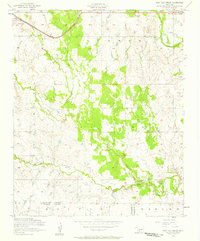
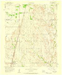
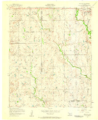
Showing maps 1-25 of 162
Top cities of Tillman County
- Frederick historical maps
- Grandfield historical maps
- Tipton historical maps
- Davidson historical maps
- Manitou historical maps
- Hollister historical maps
See more
Frequently asked questions
- What are the different types of historical maps available for Tillman County?
- What is the oldest map of Tillman County?
- Where can I purchase historical maps of Tillman County for my home or office?
- Where can I download high-res historical maps of Tillman County?
- Are there historical topographic maps available for Tillman County?
- Is there historical aerial imagery available for Tillman County?
- Where are historical maps of Tillman County sourced from?