2000s (21st Century) Maps of Tillman County, Oklahoma
Explore 123 historic maps of Tillman County from the 2000s (21st Century). These maps offer a rare glimpse into what life looked like during the 2000s — showing old roads, neighborhoods, homes, and landmarks that have changed or disappeared over time.
Whether you're researching your family's past, planning a metal detecting trip, or studying how Tillman County's landscape evolved across the 2000s, these high-resolution maps are a powerful tool for exploring the history of this region.
- Focus on a specific era: All maps on this page are from the 2000s, giving you a focused view of this time period.
- See what’s changed: Compare century-old streets, trails, and buildings to today's modern landscape using overlays and satellite layers.
- Research with precision: Use these maps for genealogy, historical research, land use analysis, or educational projects.
- View, download, or print: Maps are fully viewable online in high resolution, and can be downloaded or printed for your own records.
Start exploring Tillman County's history through authentic maps from the 2000s. This is your window into the past.
Tillman County, OK maps
(123)- 2009 Map of Chattanooga SW, 2009 Print
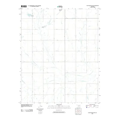 2009 Chattanooga SW2009 Print · USGSTillman County's agricultural grid and water infrastructure are documented here in the early twenty-first century. Researchers can trace the courses of Deep Red Creek or locate the Chattanooga Sky Harbor Airport and local landmarks like the Jack Creek Site 5 Dam.
 - 2010 Map of Hollister, 2010 Print
 2010 Hollister2010 Print · USGSTillman County's agricultural heartland is captured here in the early twenty-first century, showing the enduring grid of the southern plains. Genealogists can locate family sites near Isadore Cemetery, Hollister Cemetery, or along the banks of Deep Red Creek.
 - 2010 Map of Tipton, 2010 Print
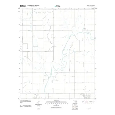 2010 Tipton2010 Print · USGSSouthwestern Oklahoma's agricultural and energy landscape is captured here in the early twenty-first century. Genealogists and local historians can trace the grid of Tillman County roads around Tipton, the Boucher Oil Field, and the winding North Fork Red River.
 - 2010 Map of Hollister NE, 2010 Print
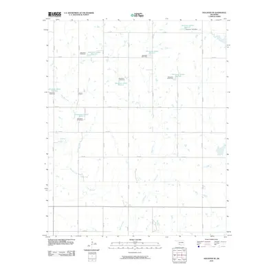 2010 Hollister NE2010 Print · USGSTillman County's agricultural landscape is seen here in the early twenty-first century as a network of creeks and small-scale reservoirs. Genealogists and local historians can locate Dickerson Cemetery near the banks of Deep Red Creek and Deadman Creek.
 - 2010 Map of Indiahoma, 2010 Print
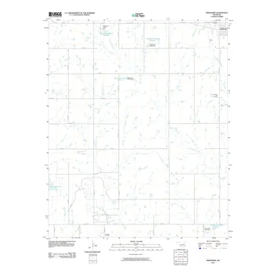 2010 Indiahoma2010 Print · USGSIndiahoma and the surrounding Comanche County plains are captured here in the first decade of the new millennium. Genealogists and local historians can pinpoint the Indiahoma IOOF Cemetery and Schofield Cemetery among the winding paths of Horse Creek.
 - 2010 Map of Frederick, 2010 Print
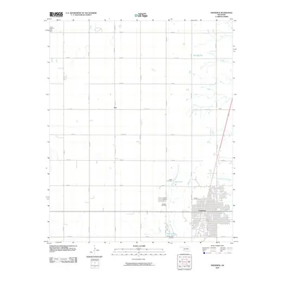 2010 Frederick2010 Print · USGSSouthwest Oklahoma's agricultural heartland is documented here in the early twenty-first century, centered on the community of Frederick. Researchers can trace local lineage at Frederick Cemetery or explore the rural surroundings of Burt and Murray Lake.
 - 2010 Map of Frederick SE, 2010 Print
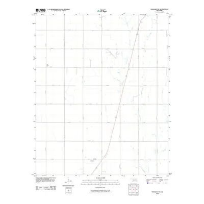 2010 Frederick SE2010 Print · USGSSouthwestern Oklahoma's agricultural prairie is captured here in the early twenty-first century, showing a landscape defined by industrial cotton processing and a rigid road grid. Genealogists and local historians can locate Davidson Cemetery and the Red River Gin among the banks of Suttle Creek.
 - 2010 Map of Long Mountain, 2010 Print
 2010 Long Mountain2010 Print · USGSKiowa County, Oklahoma, is shown here as a landscape of river bends and isolated peaks in the early twenty-first century. Genealogists and local historians can trace the rural communities of Centerville and Lige or locate the Headrick Cemetery and Rogers Cemetery.
 - 2010 Map of Hollister NW, 2010 Print
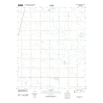 2010 Hollister NW2010 Print · USGSTillman County in the early 2000s shows a landscape of precision agriculture and water management defined by a strict section-line road grid. Researchers can locate the Bethel Cemetery and trace the many branches of Deadman Creek and Deep Red Creek.
 - 2010 Map of Hackberry Flat, 2010 Print
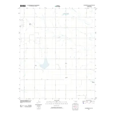 2010 Hackberry Flat2010 Print · USGSTillman County farmland is captured here in the early 21st century, revealing a landscape defined by prairie watercourses and rural road networks. Genealogists can locate family sites near Hackberry Cemetery, Dunkard Cemetery, and the wetlands of Hackberry Flat.
 - 2010 Map of Tipton SE, 2010 Print
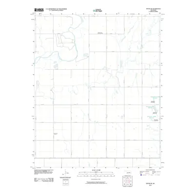 2010 Tipton SE2010 Print · USGSJackson County, Oklahoma, is shown here in the early twenty-first century, dominated by the winding North Fork Red River. Genealogists and local historians can locate the Center View Cemetery and the Pleasant Valley Community Hall amidst a network of rural section roads.
 - 2010 Map of Manitou, 2010 Print
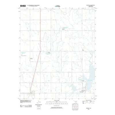 2010 Manitou2010 Print · USGSOklahoma's Tillman County at the start of the twenty-first century reveals a landscape shaped by rural water management and agricultural grid lines. Researchers can trace local heritage at North Deep Red Cemetery or follow the paths of Coffin Creek and Deadman Creek near the town of Manitou.
 - 2010 Map of Chattanooga, 2010 Print
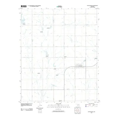 2010 Chattanooga2010 Print · USGSOklahoma's southwestern prairie is shown here in the early twenty-first century, centered on the grid-patterned town of Chattanooga. Researchers can trace local landmarks like the Chattanooga Cemetery and a complex network of dams, including Jack Creek Site 3 Dam.
 - 2010 Map of Post Oak Creek, 2010 Print
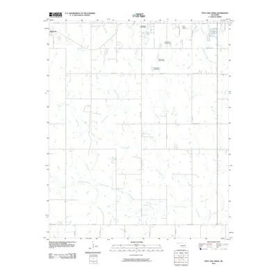 2010 Post Oak Creek2010 Print · USGSIndiahoma and the surrounding Comanche County ranchlands are captured here in the early twenty-first century. Genealogists and historians can locate the Cache Indian Cemetery or trace the original paths of Old US Hwy 62 and Post Oak Creek.
 - 2010 Map of Whites Lake, 2010 Print
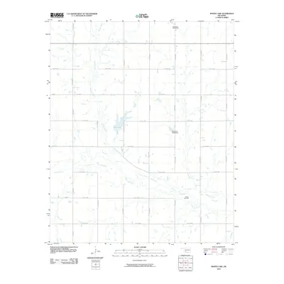 2010 Whites Lake2010 Print · USGSTillman County in the early 2000s remains a landscape of managed prairie and steady agricultural grids. Researchers can trace the drainage patterns of Deep Red Creek and locate water infrastructure like Whites Lake and Whites Lake Dam.
 - 2010 Map of White Lake, 2010 Print
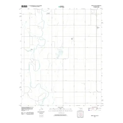 2010 White Lake2010 Print · USGSThe Oklahoma-Texas borderlands near Tipton appear in this recent survey, showing a landscape defined by the winding North Fork Red River and rural aviation. Researchers can trace land tracts along E1800 RD or locate local landmarks like White Lake and the Wilson 115 Dam.
 - 2010 Map of Cowboy Springs, 2010 Print
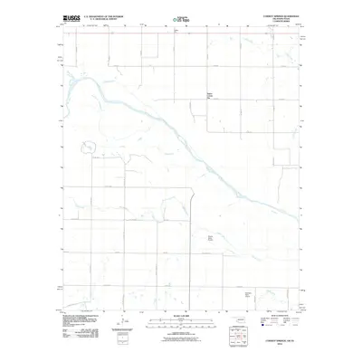 2010 Cowboy Springs2010 Print · USGSThe Oklahoma-Texas borderlands are defined by the winding path of the Red River in the early 21st century. Researchers can trace rural infrastructure and agricultural landmarks such as Taylor Corner Gin, Valley Gin, and the McAlister Farm Airport.
 - 2010 Map of Grandfield, 2010 Print
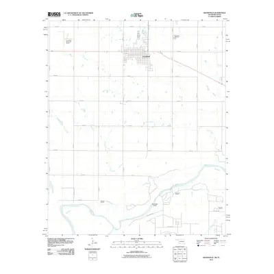 2010 Grandfield2010 Print · USGSThe Oklahoma-Texas borderlands come into focus in this late-2000s survey of the Red River valley. Genealogists and local historians can trace the grid of Grandfield, locate the Grandfield Cemetery, and explore the reach of the Northwest Oil Field near Burke Bet Island.
 - 2010 Map of Oklaunion, 2010 Print
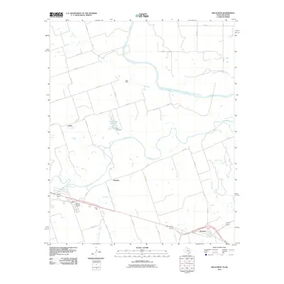 2010 Oklaunion2010 Print · USGSWilbarger County is documented in the early twenty-first century as a landscape defined by the winding Red River and Pease River. Researchers can locate family sites near Oklaunion, trace landmarks like Sharp Gin, or visit the Eastview Memorial Cemetery.
 - 2010 Map of Devol, 2010 Print
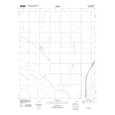 2010 Devol2010 Print · USGSThe Oklahoma-Texas borderlands near Devol are captured here as they appeared in 2010. Researchers can trace the section-line road network to local sites like Devol Cemetery, North Bank Siding, and the banks of the Red River.
 - 2010 Map of Frederick SW, 2010 Print
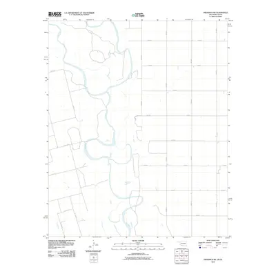 2010 Frederick SW2010 Print · USGSThe Red River borderlands of Jackson County come into focus during the early twenty-first century, showing the river's winding path between Oklahoma and Texas. Trace the hydrological junction of the North Fork Red River and the main Red River channel alongside rural routes like Co Rd 111 N.
 - 2011 Map of Clara, 2011 Print
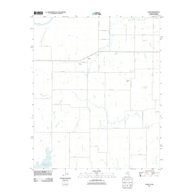 2011 Clara2011 Print · USGSNorth of the Wichita Falls area in the early 2000s, this border region follows the winding Red River through traditional ranching and oil territory. Researchers can locate the Clara Cemetery, trace the extent of the Clara Oil Field, and identify family land via Wyeth School Rd.
 - 2011 Map of Sunshine Hill, 2011 Print
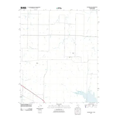 2011 Sunshine Hill2011 Print · USGSWichita County at the start of the 2010s shows a landscape shaped by petroleum and prairie watercourses. Researchers can locate the Sunshine Hill Oil Field and trace the paths of Tenth Cavalry Creek and North Fork Buffalo Creek.
 - 2012 Map of Augar Creek, 2012 Print
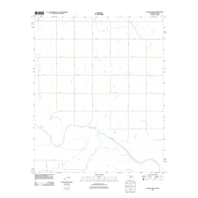 2012 Augar Creek2012 Print · USGSThe Oklahoma-Texas borderlands along the Red River are captured here in the early twenty-first century, showing a landscape defined by water and ranching roads. Trace the winding paths of Augur Creek and Adams Creek among the family-named corridors like Flippin Rd.2 unique versions available
 - 2012 Map of Davidson, 2012 Print
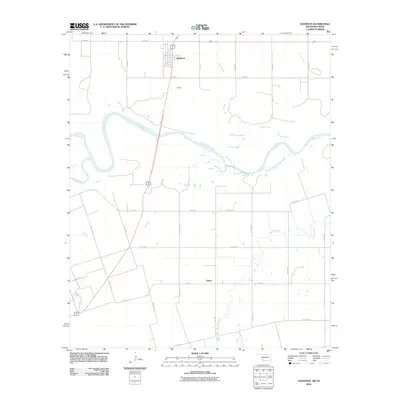 2012 Davidson2012 Print · USGSThe Oklahoma-Texas borderlands are captured here in the early twenty-first century as the Red River carves through Tillman County. Local historians can trace the rural layouts of Davidson and Elliott alongside watercourses like Pease River and Adams Creek.2 unique versions available
Showing maps 1-25 of 123
Top cities of Tillman County
- Frederick historical maps
- Grandfield historical maps
- Tipton historical maps
- Davidson historical maps
- Manitou historical maps
- Hollister historical maps
See more
Frequently asked questions
- What are the different types of historical maps available for Tillman County?
- What is the oldest map of Tillman County?
- Where can I purchase historical maps of Tillman County for my home or office?
- Where can I download high-res historical maps of Tillman County?
- Are there historical topographic maps available for Tillman County?
- Is there historical aerial imagery available for Tillman County?
- Where are historical maps of Tillman County sourced from?