2020s Maps of Clackamas County, Oregon
Explore 97 historic maps of Clackamas County from the 2020s. These maps offer a rare glimpse into what life looked like during the 2020s — showing old roads, neighborhoods, homes, and landmarks that have changed or disappeared over time.
Whether you're researching your family's past, planning a metal detecting trip, or studying how Clackamas County's landscape evolved across the 2020s, these high-resolution maps are a powerful tool for exploring the history of this region.
- Focus on a specific era: All maps on this page are from the 2020s, giving you a focused view of this time period.
- See what’s changed: Compare century-old streets, trails, and buildings to today's modern landscape using overlays and satellite layers.
- Research with precision: Use these maps for genealogy, historical research, land use analysis, or educational projects.
- View, download, or print: Maps are fully viewable online in high resolution, and can be downloaded or printed for your own records.
Start exploring Clackamas County's history through authentic maps from the 2020s. This is your window into the past.
Clackamas County, OR maps
(97)- 2020 Map of Mount Hood North, 2020 Print
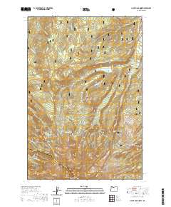 2020 Mount Hood North2020 Print · USGSThe northern slopes of the Cascades are captured here in the contemporary era, showing the intersection of glacial geography and wilderness recreation. Researchers can locate the Harry Wollam Grave and trace alpine routes through Wy'east Basin and Cairn Basin.
 - 2020 Map of Mount Wilson, 2020 Print
 2020 Mount Wilson2020 Print · USGSHigh in the Cascades along the Clackamas and Wasco county line, this modern survey shows a landscape of peaks and alpine meadows as it appeared in 2020. Hikers and historians can trace the Pacific Crest National Scenic Trail past Mt Wilson and find remote water sources like Deadman Spring.
 - 2020 Map of Mount Mitchell, 2020 Print
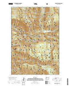 2020 Mount Mitchell2020 Print · USGSMount Hood National Forest is shown here in the 2020s, a period defined by the management of its high-mountain drainages and recreational trails. You can trace the path of the Clackamas River Hwy as it skirts the Clackamas Wild and Scenic River near Lake Harriet and Big Bottom.
 - 2020 Map of Colton, 2020 Print
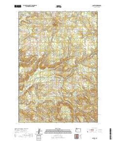 2020 Colton2020 Print · USGSClackamas County uplands are documented here in the early twenty-first century, showing the enduring rural character of the area. Genealogists can locate family sites near Clarkes Cem or trace the historical shift between Colton and Old Colton.
 - 2020 Map of Timothy Lake, 2020 Print
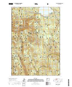 2020 Timothy Lake2020 Print · USGSMount Hood National Forest in recent years is documented here through its extensive trail and water networks. Hikers and cartographers can trace the Pacific Crest National Scenic Trail as it passes Timothy Lake and smaller landmarks like Summit Lake and Rock Butte.
 - 2020 Map of Gladstone, 2020 Print
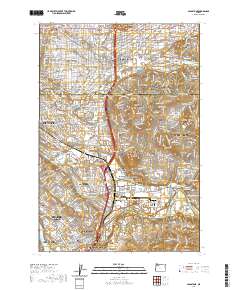 2020 Gladstone2020 Print · USGSGreater Portland and the Clackamas River valley are captured in this recent survey during a period of significant suburban expansion. Genealogists and local historians can trace the borders of Johnson City, Battin, and the historic Cristilla Pioneer Cem.
 - 2020 Map of Redland, 2020 Print
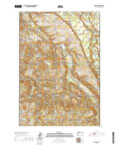 2020 Redland2020 Print · USGSThe rural communities of Redland, Viola, and Logan are mapped in detail during this era of Clackamas County history. Researchers can trace family legacy through several documented burial sites like Sprague Cem and local landmarks like The Hogback.
 - 2020 Map of Bull of the Woods, 2020 Print
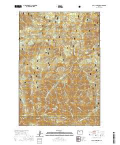 2020 Bull of the Woods2020 Print · USGSThe Oregon Cascades high country along the Clackamas and Marion county line is documented here in the early twenty-first century. Researchers can trace the rugged geography of the Bull Of The Woods area, locating the Mother Lode and alpine waters like Welcome Lakes.
 - 2020 Map of Hickman Butte, 2020 Print
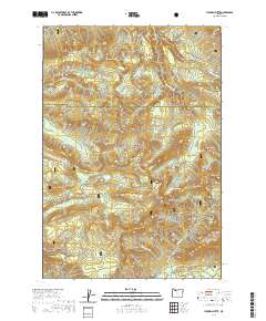 2020 Hickman Butte2020 Print · USGSMount Hood National Forest's western slopes are shown in detail during the early twenty-first century, spanning the Multnomah and Clackamas county lines. Researchers can trace the rugged drainages of the Bull Run River and find landmarks like Hickman Lake, Aschoff Buttes, and Old Maid Flat.
 - 2020 Map of Wolf Peak, 2020 Print
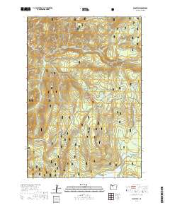 2020 Wolf Peak2020 Print · USGSMount Hood National Forest in the early twenty-first century is captured here in detail, showcasing its dense network of mountain trails and glacial lakes. Hikers and explorers can trace the Pacific Crest National Scenic Trail past Little Crater Lake or locate secluded spots like Meditation Point.
 - 2020 Map of Wapinitia Pass, 2020 Print
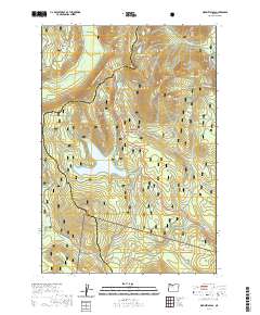 2020 Wapinitia Pass2020 Print · USGSClackamas and Wasco counties meet at the Cascade crest in this recent survey of high-elevation mountain passes and watersheds. You can trace the Pacific Crest National Scenic Trail as it winds past Frog Lake, Wapinitia Pass, and the shore of Clear Lake.
 - 2020 Map of Government Camp, 2020 Print
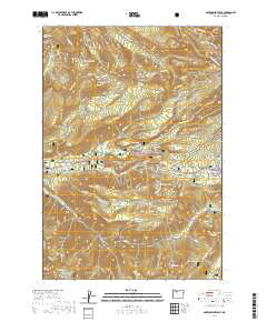 2020 Government Camp2020 Print · USGSGovernment Camp and the high ridges of the Cascades are captured here in the contemporary era. Researchers can trace historic routes like the Pioneer Bridle or locate modern recreation landmarks including Mirror Lake, Multorpor Mtn, and the Skiway.
 - 2020 Map of Rhododendron, 2020 Print
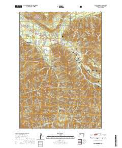 2020 Rhododendron2020 Print · USGSMount Hood's foothills come into focus in the early twenty-first century as the corridor between Wildwood and Rhododendron shows established community growth. Trace local history along the Pioneer Bridle trail or locate properties in Wemme, Welches, and Zigzag.
 - 2020 Map of High Rock, 2020 Print
 2020 High Rock2020 Print · USGSClackamas County is documented here in the early twenty-first century as a landscape of protected rivers and mountain peaks. Hikers and researchers can trace the high-elevation terrain surrounding High Rock, Salmon Butte, and the Rock Lakes Basin.
 - 2020 Map of Bull Run Lake, 2020 Print
 2020 Bull Run Lake2020 Print · USGSThe Oregon Cascades in the modern era are mapped here at the intersection of three counties, showcasing the headwaters of the Bull Run River. Trace the Pacific Crest National Scenic Trail through Lolo Pass and find historic landmarks like Old Maid Flat and Ramona Falls.
 - 2020 Map of Mount Hood South, 2020 Print
 2020 Mount Hood South2020 Print · USGSMount Hood’s southern slopes are captured here in the early twenty-first century, showing the high-elevation glacial features and the historic transit corridors below. Researchers can trace the Pioneer Woman's Grave Trail and the Barlow road, or locate the Summit Meadows Cemetery near Trillium Lake.
 - 2020 Map of Fernwood, 2020 Print
 2020 Fernwood2020 Print · USGSClackamas County settlement and timber country are captured here in the early twenty-first century. Genealogists and hikers can trace the drainage of the Molalla River and find landmarks like Glen Avon, Fernwood, and the heights of Green Mountain.
 - 2020 Map of Wilhoit, 2020 Print
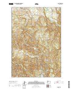 2020 Wilhoit2020 Print · USGSThe foothills of the Cascade Range come into focus in this recent survey of the Clackamas County backcountry. Researchers can locate the site of Wilhoit Mineral Springs and trace local family history through Dart Cem and Russellville Cem.
 - 2020 Map of Mount Lowe, 2020 Print
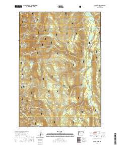 2020 Mount Lowe2020 Print · USGSMount Hood National Forest is shown here in the contemporary era as a protected wilderness at the border of Clackamas and Marion counties. Local history researchers can trace the high ridges and water sources of the region, from Mt Lowe and Graham Pass to the remote Tarzan Springs.
 - 2020 Map of Lake Oswego, 2020 Print
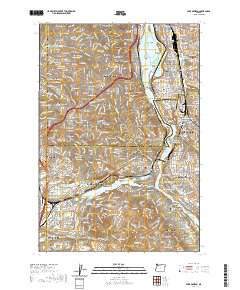 2020 Lake Oswego2020 Print · USGSThe southern suburbs of Portland are captured in the early 2020s, showing the dense residential growth surrounding the Willamette River. Researchers can trace institutional footprints from Reed College to Marylhurst University or locate family plots in Riverview Cem and Milwaukie Pioneer Cem.
 - 2020 Map of Soosap Peak, 2020 Print
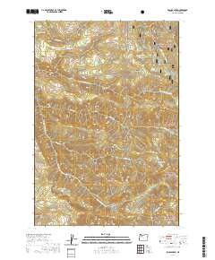 2020 Soosap Peak2020 Print · USGSClackamas County's high country is captured here during the 2020s, showing the intersection of heavy timber management and protected forest lands. Researchers can trace forest roads to remote landmarks like Soosap Peak, Emerald Lake, and the deep Dead Horse Canyon.
 - 2020 Map of Brightwood, 2020 Print
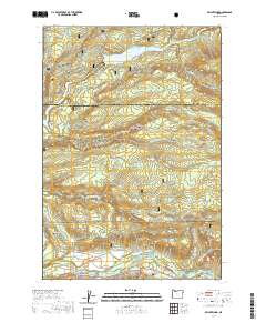 2020 Brightwood2020 Print · USGSClackamas County at the edge of the Cascades reveals a landscape where historic mountain roads meet modern water management. Genealogists and local historians can trace the residents of Brightwood, Alder Creek, and Marmot near landmarks like Devils Backbone and the Sandy River.
 - 2020 Map of Cherryville, 2020 Print
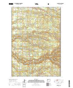 2020 Cherryville2020 Print · USGSClackamas County at the edge of the forest comes to life in this recent study of the Eagle Creek drainage. Genealogists and local historians can locate George Cem and trace the rural road networks connecting Cherryville, George, and Bissell.
 - 2020 Map of Bedford Point, 2020 Print
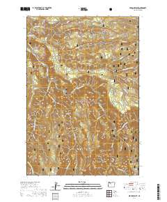 2020 Bedford Point2020 Print · USGSClackamas County is documented here in the early twenty-first century as a protected wilderness landscape within the Mount Hood National Forest. Explore the intricate drainage of the Clackamas River and trace forest routes around Bedford Point, Big Cliff, and La Dee Flat.
 - 2020 Map of Sherwood, 2020 Print
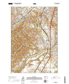 2020 Sherwood2020 Print · USGSThe northern Willamette Valley and Tualatin Valley intersect here in a landscape of historic river settlements and rising hills. Genealogists and historians can trace family locations through sites like Butteville Cem, Middleton, and the Willamette River shoreline.
Showing maps 1-25 of 97
Top cities of Clackamas County
- Lake Oswego historical maps
- Oregon City historical maps
- West Linn historical maps
- Wilsonville historical maps
- Happy Valley historical maps
- Milwaukie historical maps
See more
Frequently asked questions
- What are the different types of historical maps available for Clackamas County?
- What is the oldest map of Clackamas County?
- Where can I purchase historical maps of Clackamas County for my home or office?
- Where can I download high-res historical maps of Clackamas County?
- Are there historical topographic maps available for Clackamas County?
- Is there historical aerial imagery available for Clackamas County?
- Where are historical maps of Clackamas County sourced from?