2020s Maps of Gilliam County, Oregon
Explore 80 historic maps of Gilliam County from the 2020s. These maps offer a rare glimpse into what life looked like during the 2020s — showing old roads, neighborhoods, homes, and landmarks that have changed or disappeared over time.
Whether you're researching your family's past, planning a metal detecting trip, or studying how Gilliam County's landscape evolved across the 2020s, these high-resolution maps are a powerful tool for exploring the history of this region.
- Focus on a specific era: All maps on this page are from the 2020s, giving you a focused view of this time period.
- See what’s changed: Compare century-old streets, trails, and buildings to today's modern landscape using overlays and satellite layers.
- Research with precision: Use these maps for genealogy, historical research, land use analysis, or educational projects.
- View, download, or print: Maps are fully viewable online in high resolution, and can be downloaded or printed for your own records.
Start exploring Gilliam County's history through authentic maps from the 2020s. This is your window into the past.
Gilliam County, OR maps
(80)- 2020 Map of Sundale, 2020 Print
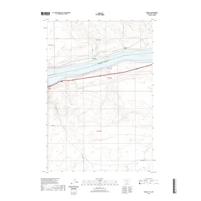 2020 Sundale2020 Print · USGSThe Columbia River frontier at the Washington-Oregon border is captured here in detail during the early twenty-first century. Researchers can trace the steep drainages of Old Lady Canyon and Blalock Canyon as they meet the shoreline at Sundale.
 - 2020 Map of Golgotha Butte, 2020 Print
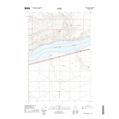 2020 Golgotha Butte2020 Print · USGSThe Columbia River frontier of Klickitat and Morrow counties appears here in the contemporary era. Researchers can trace the waterfront settlements of Alderdale and McCredie or locate the deep incisions of Threemile Canyon and Sixmile Canyon.
 - 2020 Map of Wood Gulch, 2020 Print
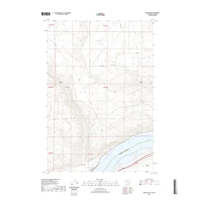 2020 Wood Gulch2020 Print · USGSThe northern bank of the Columbia River comes into sharp focus in this recent survey of the Klickitat County highlands. Researchers can trace the steep geography of Big Horn Canyon and Wood Gulch as they descend toward Lake Umatilla.
 - 2020 Map of Devils Gap, 2020 Print
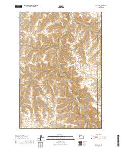 2020 Devils Gap2020 Print · USGSGilliam County's high-plateau ranching country is mapped here in the modern era, showing the deeply carved canyon systems of north-central Oregon. Researchers can trace remote family landmarks and water sources like Brown Cem, Box Elder Spring, and the namesake Devils Gap.
 - 2020 Map of Schott Canyon, 2020 Print
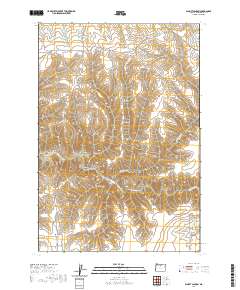 2020 Schott Canyon2020 Print · USGSGilliam County’s high canyon country is revealed in this modern survey of the drainages surrounding Thirtymile Cr. Trace family land use and geographic landmarks through named features like Schott Canyon, Zero Butte, and the winding Sniption Canyon Rd.
 - 2020 Map of Horn Butte, 2020 Print
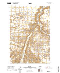 2020 Horn Butte2020 Print · USGSGilliam County's high plateau and deep canyon systems are captured here in the contemporary era. Researchers can trace land ownership patterns through named routes like Sullivan Rd and Rhea Ln near the prominent Horn Butte.
 - 2020 Map of Heppner Junction, 2020 Print
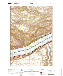 2020 Heppner Junction2020 Print · USGSThe Columbia River frontier at the border of Washington and Oregon is captured here in recent years. Researchers can trace the water-bound geography of Heppner Junction and find rural landmarks like McCredie, Willow Lake, and Alder Ridge.
 - 2020 Map of Quinton, 2020 Print
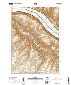 2020 Quinton2020 Print · USGSThe Columbia River gorge at the Oregon-Washington border is captured here in the modern era, showing where the John Day River flows into Lake Umatilla. Researchers can trace old transportation routes and canyon settlements from Goodnoe and Quinton to the deep recesses of Emigrant Canyon.
 - 2020 Map of Arlington, 2020 Print
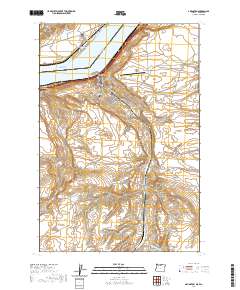 2020 Arlington2020 Print · USGSThe Columbia River frontier of Oregon and Washington is captured here in the contemporary era, showing the riverfront settlements of Arlington and Roosevelt. Researchers can trace local heritage at the Arlington Masonic Cem or explore the rugged drainage of Alkali Canyon and China Ditch.
 - 2020 Map of Indian Spring, 2020 Print
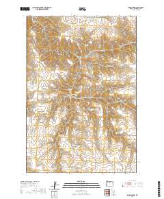 2020 Indian Spring2020 Print · USGSGilliam County's canyon-carved plateau is documented here in the early twenty-first century, showing a landscape defined by vital water sources and steep drainages. Genealogists and local historians can trace named features like Rattlesnake Butte, Dipping Vat Spring, and Ferry Canyon.
 - 2020 Map of Esau Canyon, 2020 Print
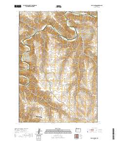 2020 Esau Canyon2020 Print · USGSThe high desert breaks of the John Day River are captured in the modern era, showing the rugged divide between Sherman and Gilliam Counties. Researchers can trace remote infrastructure and river access points like Ajax Airport, Big Eddy, and the Cottonwood Bridge.
 - 2020 Map of Rufus, 2020 Print
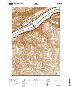 2020 Rufus2020 Print · USGSThe Columbia River corridor near Rufus appears in high detail during this contemporary era of dam-regulated waterways. Researchers can trace the rugged drainage of Hellroaring Canyon, locate family-named landmarks like Gerking Canyon, and see the confluence at The Nook.
 - 2020 Map of Sundale NW, 2020 Print
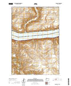 2020 Sundale NW2020 Print · USGSThe Columbia River frontier of Washington and Oregon is captured here in the contemporary era. Researchers can trace land patterns across Lake Umatilla and locate specific sites like the settlement of Bates or the remote enclave at The Nook.
 - 2020 Map of Igo Butte, 2020 Print
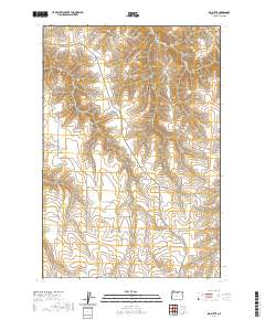 2020 Igo Butte2020 Print · USGSGilliam County's high plateaus and deep canyons are documented in this 2020 survey, reflecting the sparse settlement of the Oregon backcountry. Genealogists can locate the Igo Cem while researchers trace the routes of Ferry Canyon Rd and Alville Rd.
 - 2020 Map of Salmon Fork, 2020 Print
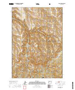 2020 Salmon Fork2020 Print · USGSThe high plateau of Wheeler County at the turn of the twenty-first century is captured here in detail. Researchers can trace remote landmarks like the Kinzua Airport and the transition into the Umatilla National Forest near Steamboat Rock.
 - 2020 Map of Mikkalo, 2020 Print
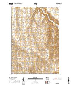 2020 Mikkalo2020 Print · USGSThe high plateau of Gilliam County is captured in this survey, showcasing the remote agricultural and ranching landscape during the early twenty-first century. Researchers can locate isolated landmarks such as Olex Cem, Taylor Bridge, and the tiny settlement of Mikkalo.
 - 2020 Map of Shutler Flat, 2020 Print
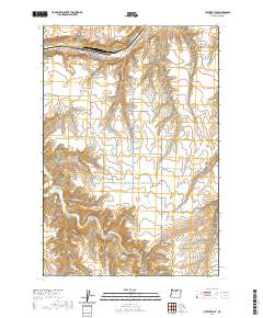 2020 Shutler Flat2020 Print · USGSGilliam County, Oregon, remains a region of deep canyons and high plateaus in this recent survey. Researchers can trace rural routes and remote outposts like Olex while exploring the landforms of French Charlie Canyon and Shutler Flat.
 - 2020 Map of Wolf Hollow Falls, 2020 Print
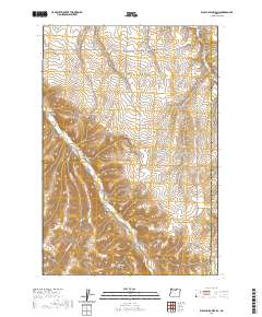 2020 Wolf Hollow Falls2020 Print · USGSGilliam County's high plateau and canyon country are captured in this recent survey of the uplane drainage system east of the John Day River. Researchers can locate the Flett Cem and trace the steep descents into Wolf Hollow Falls and Waterfalls Hollow.
 - 2020 Map of Indian Cove, 2020 Print
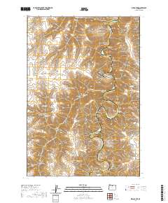 2020 Indian Cove2020 Print · USGSSherman County high desert terrain meets the winding John Day River in this modern topographical study. Local history researchers can trace family-named landmarks and water sources like Lon Eakin Flat, Peddicord Point, and Lucy Payne Spring.
 - 2020 Map of Condon, 2020 Print
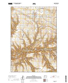 2020 Condon2020 Print · USGSCondon and the surrounding Gilliam County canyons are documented here in the early twenty-first century. Genealogists and local historians can trace civic and family roots at the Gilliam County Courthouse and the Masonic Cem, or explore the winding paths of Thirtymile Cr.
 - 2020 Map of McDonald, 2020 Print
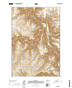 2020 McDonald2020 Print · USGSSherman County's high desert landscape is captured here along the John Day River at a time when remote ranching and river access defined local life. Genealogists and researchers can trace historical river crossings and family-named routes like McDonalds Ferry Ln, Starvation Point, and McDonald.
 - 2020 Map of Turner Butte, 2020 Print
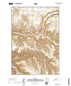 2020 Turner Butte2020 Print · USGSThe high desert landscape of Sherman and Gilliam counties comes to life in this modern survey of the Columbia Plateau. Researchers can trace the rugged drainages of Rock Creek and Scott Canyon, or locate family-named landmarks like Turner Butte and Butcher Butte.
 - 2020 Map of Bath Canyon, 2020 Print
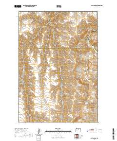 2020 Bath Canyon2020 Print · USGSWasco and Sherman counties meet along the high desert canyons in this recent survey. Local historians can trace water sources like Rattlesnake Spring and landmarks such as Butte Creek Pass near the winding John Day River.
 - 2020 Map of Horseshoe Bend, 2020 Print
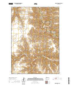 2020 Horseshoe Bend2020 Print · USGSThe John Day River canyon dominates this Sherman County landscape in the 2020s, showing the high-desert terrain near the Gilliam County line. Researchers can trace the winding river corridor past Horseshoe Bend and locate remote water sources like Hatley Springs and Horse Pasture Spring.
 - 2020 Map of Hickland Butte, 2020 Print
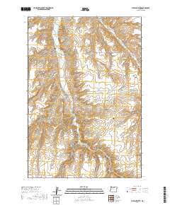 2020 Hickland Butte2020 Print · USGSGilliam County's high plateau country is captured here during the late twenty-teens, showing a landscape of deep canyons and remote homestead routes. Genealogists can locate family landmarks such as the Eightmile Cem and Tommy Dean Cem near Hickland Butte.
Showing maps 1-25 of 80
Top cities of Gilliam County
Frequently asked questions
- What are the different types of historical maps available for Gilliam County?
- What is the oldest map of Gilliam County?
- Where can I purchase historical maps of Gilliam County for my home or office?
- Where can I download high-res historical maps of Gilliam County?
- Are there historical topographic maps available for Gilliam County?
- Is there historical aerial imagery available for Gilliam County?
- Where are historical maps of Gilliam County sourced from?