2000s (21st Century) Maps of Gilliam County, Oregon
Explore 200 historic maps of Gilliam County from the 2000s (21st Century). These maps offer a rare glimpse into what life looked like during the 2000s — showing old roads, neighborhoods, homes, and landmarks that have changed or disappeared over time.
Whether you're researching your family's past, planning a metal detecting trip, or studying how Gilliam County's landscape evolved across the 2000s, these high-resolution maps are a powerful tool for exploring the history of this region.
- Focus on a specific era: All maps on this page are from the 2000s, giving you a focused view of this time period.
- See what’s changed: Compare century-old streets, trails, and buildings to today's modern landscape using overlays and satellite layers.
- Research with precision: Use these maps for genealogy, historical research, land use analysis, or educational projects.
- View, download, or print: Maps are fully viewable online in high resolution, and can be downloaded or printed for your own records.
Start exploring Gilliam County's history through authentic maps from the 2000s. This is your window into the past.
Gilliam County, OR maps
(200)- 2011 Map of Lefevre Prairie, 2011 Print
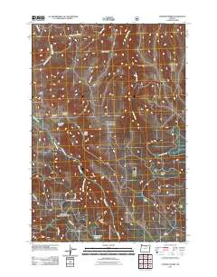 2011 Lefevre Prairie2011 Print · USGSGilliam County’s high plateau country is captured here during the early twenty-first century, showing a landscape of named prairies and deep canyons. Researchers can locate Lonerock Cemetery and trace local water sources like Bradenbury Reservoir and Juniper Creek.
 - 2011 Map of Quinton, 2011 Print
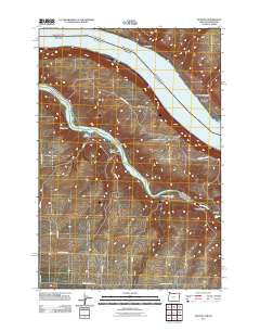 2011 Quinton2011 Print · USGSThe confluence of the Columbia and John Day Rivers is captured here in the early twenty-first century. Researchers can trace the drainages of Box Canyon, the settlement at Goodnoe, and the historic path of Emigrant Springs Rd.
 - 2011 Map of Indian Cove, 2011 Print
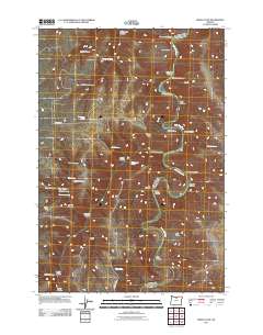 2011 Indian Cove2011 Print · USGSThe John Day River meanders through Sherman County in the early twenty-first century, revealing a landscape of steep basalt canyons and scattered springs. Researchers can trace landforms like Lon Eakin Flat, Peddicord Point, and historical water sources such as Lucy Payne Spring.
 - 2011 Map of Chimney Springs, 2011 Print
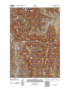 2011 Chimney Springs2011 Print · USGSWasco County's high plateaus and the deep winding path of the John Day River are captured in this early twenty-first-century survey. You can trace family-named landmarks and essential water sources like Buckhorn Ranch, Chimney Springs, and Pete Enyart Canyon.
 - 2011 Map of Rufus, 2011 Print
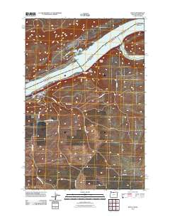 2011 Rufus2011 Print · USGSThe Oregon riverfront town of Rufus is documented here during the early twenty-first century as it sits between the Columbia and the high plateau. Genealogists and researchers can trace local landmarks like the Rufus Post Office and the winding course of China Hollow Creek through Hellroaring Canyon.
 - 2011 Map of Buttermilk Canyon, 2011 Print
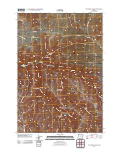 2011 Buttermilk Canyon2011 Print · USGSGilliam County, Oregon, at the start of the 2010s reveals a high-desert landscape of deeply incised drainages and remote ranch roads. Researchers can trace the paths of Juniper Creek and explore the many named canyons like Sweetmilk Canyon and Fichter Canyon.
 - 2011 Map of Devils Backbone, 2011 Print
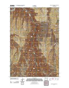 2011 Devils Backbone2011 Print · USGSHigh plateau country in Sherman County is revealed in this early twenty-first century study of the canyons and ridges east of the John Day River. Genealogists and local historians can locate Potters Cemetery and trace the paths of Hay Canyon Rd and Mikkalo Ln.
 - 2011 Map of Wolf Hollow Falls, 2011 Print
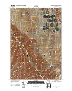 2011 Wolf Hollow Falls2011 Print · USGSGilliam County ranching country is documented here in the early twenty-first century, showing the enduring agricultural footprints across the plateau. Researchers can locate family landmarks such as the Flett Cemetery and the H Smith Ranch near Wolf Hollow Falls.
 - 2011 Map of Devils Gap, 2011 Print
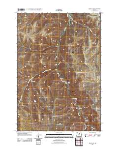 2011 Devils Gap2011 Print · USGSGilliam County’s high-desert canyons and ranchlands are captured here in the early twenty-first century. Genealogists and local historians can locate family landmarks like Brown Cemetery and Arbogast Ranch or trace the remote path to Ghost Camp.
 - 2011 Map of Cecil, 2011 Print
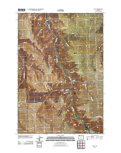 2011 Cecil2011 Print · USGSThe high desert of Morrow County comes alive in this 2010s-era study of the Willow Creek corridor. Genealogists and historians can trace family locations near the Morgan Cemetery and follow the paths of the Oregon Trl and Immigrant Ln.
 - 2011 Map of Shutler Flat, 2011 Print
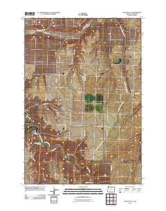 2011 Shutler Flat2011 Print · USGSCentral Gilliam County is captured in the early 2010s, showing the high-plateau agricultural landscape and deep drainages. Researchers can trace rural property access via Weatherford Rd or locate local landmarks like Roddy Storage Bins and French Charlie Canyon.
 - 2011 Map of Horseshoe Bend, 2011 Print
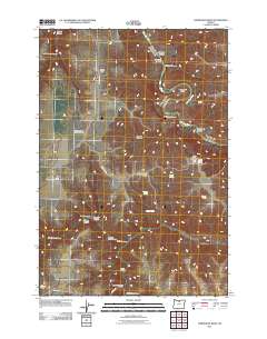 2011 Horseshoe Bend2011 Print · USGSSherman County ranch lands meet the winding canyon of the John Day River in this 2011 topographic record. Genealogists and historians can trace family-named landmarks like the George Wilson Ranch Airstrip and Guyton Canyon.
 - 2011 Map of Sundale, 2011 Print
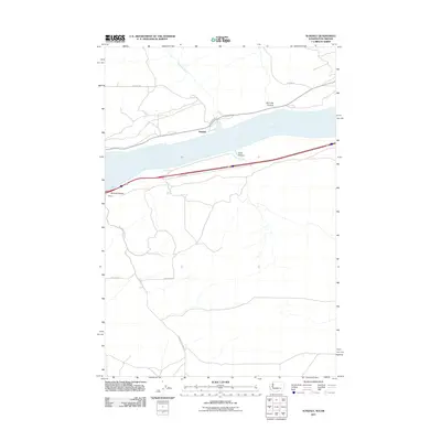 2011 Sundale2011 Print · USGSThe Columbia River Gorge at the start of the 2010s reveals a landscape defined by deep drainages and riverside settlements. Genealogists and historians can trace local family routes like Hanan Dr and find the small communities of Sundale and Blalock.
 - 2011 Map of Sundale NW, 2011 Print
 2011 Sundale NW2011 Print · USGSThe Columbia River gorge at the turn of the twenty-first century reveals a landscape defined by dramatic basalt canyons and river-town life. Trace the geography of the shoreline at Bates and Quinook or follow the path of the John Day River to Tumwater Falls.
 - 2011 Map of Mikkalo, 2011 Print
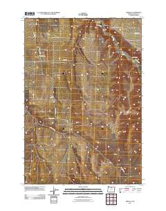 2011 Mikkalo2011 Print · USGSGilliam County, Oregon, remains a landscape of high-plateau ranching and isolated settlements as seen in the early twenty-first century. Researchers can trace local genealogy and land use through sites like the Mikkalo Post Office, Clem Cemetery, and Olex.
 - 2011 Map of Arlington, 2011 Print
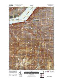 2011 Arlington2011 Print · USGSArlington and the Columbia River frontier are captured here in the early twenty-first century as vital hubs for river-and-rail commerce. Genealogists can locate family names at the Arlington Masonic Cemetery or trace the historical routes of China Ditch and Roosevelt Ferry Rd.
 - 2011 Map of Hickland Butte, 2011 Print
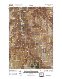 2011 Hickland Butte2011 Print · USGSGilliam County’s high plateau is captured here in the early twenty-first century, showcasing the remote ranching country of eastern Oregon. Genealogists and local historians can trace legacy sites like Eightmile Cemetery and Tommy Dean Cemetery alongside natural landmarks like Hickland Butte.
 - 2011 Map of Condon, 2011 Print
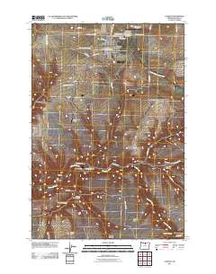 2011 Condon2011 Print · USGSCondon and the surrounding Gilliam County ranchlands are captured here in the early twenty-first century. Researchers can trace rural legacy through sites like the Masonic Cemetery, family holdings such as Cooney Ranch, and the remote outpost of Thirtymile.
 - 2011 Map of Igo Butte, 2011 Print
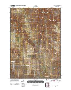 2011 Igo Butte2011 Print · USGSGilliam County's high-desert ranchlands are documented here at the start of the twenty-first century. Genealogists and local historians can locate the Igo Cemetery and trace family-named landmarks like the H Johnson Ranch and Igo Butte.
 - 2011 Map of Fossil North, 2011 Print
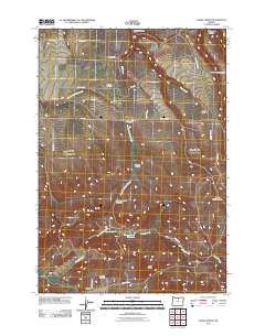 2011 Fossil North2011 Print · USGSWheeler County ranching country is documented here in the early twenty-first century, centered on the community of Mayville. Researchers can locate family landmarks like Smith Ranch, the Masonic Cemetery, and the Mayville Post Office.
 - 2011 Map of Indian Spring, 2011 Print
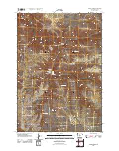 2011 Indian Spring2011 Print · USGSGilliam County, Oregon, is mapped here in the early twenty-first century, showing a remote landscape shaped by deep canyons and critical water sources. Researchers can trace the ranching history of the area through sites like Dipping Vat Spring, Rattlesnake Butte, and Bell Camp Spring.
 - 2011 Map of Esau Canyon, 2011 Print
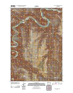 2011 Esau Canyon2011 Print · USGSSherman County ranchlands meet the winding river canyons of north-central Oregon in the early 2000s. Genealogists and local historians can trace family-named landmarks like Kaseburg Ranch or locate remote sites including Ajax Airstrip and Cottonwood Bridge.
 - 2011 Map of Horn Butte, 2011 Print
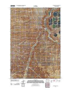 2011 Horn Butte2011 Print · USGSGilliam County's high desert landscape is shown here as it was in 2011, dominated by deep drainages and volcanic remnants. Researchers can trace the path of Willow Creek or follow the rural routes through Eightmile Canyon and toward the namesake Horn Butte.
 - 2011 Map of Bath Canyon, 2011 Print
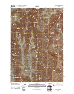 2011 Bath Canyon2011 Print · USGSWasco County's high desert country is shown here in the early twenty-first century, dominated by canyon drainages and basalt ridges. Researchers can trace the winding John Day River or locate remote landmarks like Butte Creek Pass and Rattlesnake Spring.
 - 2011 Map of Schott Canyon, 2011 Print
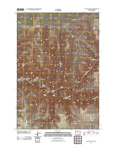 2011 Schott Canyon2011 Print · USGSGilliam County's high desert landscape comes into focus in this early twenty-first-century survey of the Oregon interior. Trace the remote network of canyons and ridges like Schott Canyon, Yellow Dog Canyon, and Zero Butte as they appeared before recent shifts in land use.
Showing maps 1-25 of 200
Top cities of Gilliam County
Frequently asked questions
- What are the different types of historical maps available for Gilliam County?
- What is the oldest map of Gilliam County?
- Where can I purchase historical maps of Gilliam County for my home or office?
- Where can I download high-res historical maps of Gilliam County?
- Are there historical topographic maps available for Gilliam County?
- Is there historical aerial imagery available for Gilliam County?
- Where are historical maps of Gilliam County sourced from?