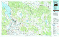
1990s Maps of Klamath County, Oregon
Explore 88 historic maps of Klamath County from the 1990s. These maps offer a rare glimpse into what life looked like during the 1990s — showing old roads, neighborhoods, homes, and landmarks that have changed or disappeared over time.
Whether you're researching your family's past, planning a metal detecting trip, or studying how Klamath County's landscape evolved across the 1990s, these high-resolution maps are a powerful tool for exploring the history of this region.
- Focus on a specific era: All maps on this page are from the 1990s, giving you a focused view of this time period.
- See what’s changed: Compare century-old streets, trails, and buildings to today's modern landscape using overlays and satellite layers.
- Research with precision: Use these maps for genealogy, historical research, land use analysis, or educational projects.
- View, download, or print: Maps are fully viewable online in high resolution, and can be downloaded or printed for your own records.
Start exploring Klamath County's history through authentic maps from the 1990s. This is your window into the past.
Klamath County, OR maps
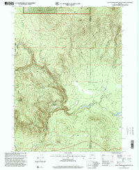
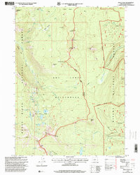
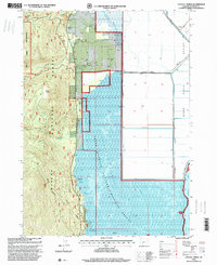
(88)- 1990 Map of Steele Swamp
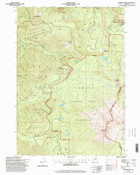
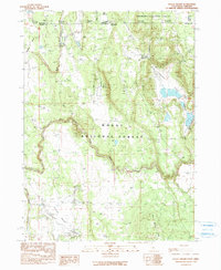 1990 Steele Swamp1990 Print · USGSThe California-Oregon borderlands come into focus in the 1990s, where high-desert ranching meets the timberlands of the Modoc and Fremont National Forests. Researchers can trace land use at Grohs Ranch and Steele Swamp Ranch or locate boundary monuments along Steele Swamp.
 - 1991 Map of Klamath Falls, 1992 Print
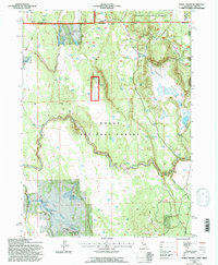
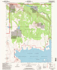
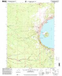
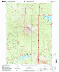
 1991 Klamath Falls1992 Print · USGSSouthern Oregon's high desert and timber basins are captured here in the early nineties, centered on the rail and river networks of the Klamath Basin. Genealogists and researchers can trace local settlements from Beatty and Bly to the agricultural grids of Merrill and Dairy.
 - 1993 Map of Steele Swamp, 1996 Print
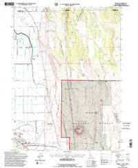
 1993 Steele Swamp1996 Print · USGSThe high desert borderlands of Modoc County come alive in this early nineties survey of ranching and forest life. Researchers can trace the water systems of Fourmile Reservoir and locate family-held lands like the Steele Swamp Ranch and Grobe Ranch.
 - 1993 Map of Newell, 1996 Print
 1993 Newell1996 Print · USGSNear the California-Oregon border in the early nineties, this area showcases the intersection of federal forest land and high-desert agriculture. Researchers can locate family-named sites like the Mike Faine Ranch and Jim Horn Ranch or trace the irrigation works around Newell.2 unique versions available
 - 1993 Map of Carr Butte, 1996 Print
 1993 Carr Butte1996 Print · USGSNorthern California high desert and timberlands meet at the Oregon border in the early nineties. Researchers can trace the boundaries of the Modoc National Forest and locate specific terrain landmarks like Carr Butte and Fiddlers Green.
 - 1993 Map of Sagebrush Butte, 1996 Print
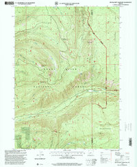
 1993 Sagebrush Butte1996 Print · USGSThe high desert borderlands of Modoc County appear in the early nineties as a landscape of managed water and protected wilderness. Trace the winding Lost River and locate isolated landmarks like Sagebrush Butte or the waters of Clear Lake Reservoir.
 - 1993 Map of Lower Klamath Lake, 1997 Print
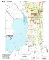
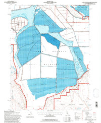 1993 Lower Klamath Lake1997 Print · USGSThe reclaimed basin of the California-Oregon border is captured here during the 1990s, showcasing a highly managed wetland and agricultural landscape. Researchers can trace the extensive levee systems and canals surrounding Fairchild Island, the Lower Klamath National Wildlife Refuge, and Sardine Flat.
 - 1993 Map of Hatfield, 1997 Print
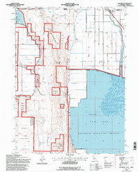 1993 Hatfield1997 Print · USGSThe California-Oregon borderlands in the 1990s reveal a landscape of massive water engineering and wildlife conservation. Genealogists and historians can trace the irrigation networks of Tule Lake and find landmarks like Ainsworth Corner and Hatfield.
 - 1997 Map of Diamond Peak, 1998 Print
 1997 Diamond Peak1998 Print · USGSThe Oregon Cascades at the end of the century reveal a landscape of volcanic peaks and alpine lakes. Hikers and researchers can trace the Pacific Crest National Scenic Trail past Diamond Peak or find the remote Salt Creek Falls and Too Much Bear Lake.
 - 1997 Map of Emigrant Butte, 1998 Print
 1997 Emigrant Butte1998 Print · USGSThe high Cascade Range is captured in the late 1990s at a complex intersection of national forests and wilderness areas. Map collectors and hikers can trace the Pacific Crest National Scenic Trail past Summit Lake or locate remote landmarks like Diamond Rockpile and Big Swamp.
 - 1997 Map of Rustler Peak, 2000 Print
 1997 Rustler Peak2000 Print · USGSThe high Cascade Range of Jackson County comes into focus in the late nineties, centered on the lookout at Rustler Peak. Trace the remote water systems of the Sky Lakes Wilderness and identify historic landmarks like Parker Meadows and the Pacific Crest National Scenic Trail.
 - 1997 Map of Red Blanket Mountain, 2000 Print
 1997 Red Blanket Mountain2000 Print · USGSJackson and Klamath counties are shown here during the late nineties as a dense network of wilderness and national forest lands. Researchers can trace the drainages of Red Blanket Creek and Ginkgo Creek or locate landmarks like Bessie Rock and Rooktop Butte.
 - 1997 Map of Little Chinquapin Mountain, 2000 Print
 1997 Little Chinquapin Mountain2000 Print · USGSThe Southern Oregon Cascades meet at the Jackson and Klamath county line in the late nineties, where the Pacific Crest Trail winds past Grizzly Prairie. Trace the network of mountain waters from Big Springs to Jenny Creek or locate the site of the Cinder Pit.
 - 1997 Map of Hamaker Butte, 2000 Print
 1997 Hamaker Butte2000 Print · USGSThe Oregon Cascades transition from the Rogue River to the Umpqua National Forest in the late nineties. Explore the locations of Hurryon Camp (Site), trace the path of the Bert Creek Trail, and find landmarks like Hamaker Footbridge.
 - 1997 Map of Thousand Springs, 2000 Print
 1997 Thousand Springs2000 Print · USGSThe Southern Cascades near the Jackson and Klamath county lines appear in the 1990s as a landscape of timber and springs. Researchers can locate the site of Wagon Camp, trace the numerous flows at Thousand Springs, or study the terrain around Huckleberry Mtn.
 - 1997 Map of Imnaha Creek, 2000 Print
 1997 Imnaha Creek2000 Print · USGSThe High Cascades near the Jackson and Klamath county line are shown in the late nineties as a dense network of forest drainages and wilderness peaks. Researchers can trace the path of the Middle Fork Rogue River and locate specific sites like King Spruce (Site) or Mudjekeewis Mtn.
 - 1997 Map of Crater Lake West, 2000 Print
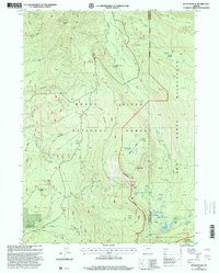
 1997 Crater Lake West2000 Print · USGSThe western rim of the caldera and the deep waters of the lake are shown here in the late nineties as part of the Oregon Cascades. Researchers can trace the layout of Rim Village, locate the historic Crater Lake Lodge, and follow the Pacific Crest National Scenic Trail past The Watchman.
 - 1997 Map of Cowhorn Mountain, 2001 Print
 1997 Cowhorn Mountain2001 Print · USGSThe high Cascades at the intersection of Douglas and Klamath counties are shown here in the late 1990s. Trace the path of the Pacific Crest National Scenic Trail past Crescent Lake, Cowhorn Mountain, and Summit Lake.
 - 1997 Map of Willamette Pass, 2001 Print
 1997 Willamette Pass2001 Print · USGSThe high Cascades at Willamette Pass are shown in detail during the late nineties, showcasing the intersection of mountain recreation and rail history. Trace the Southern Pacific tracks past Cascade Summit or explore the numerous alpine lakes like Odell Lake and Midnight Lake.
 - 1998 Map of Agency Lake, 2000 Print
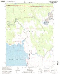
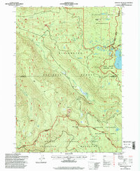
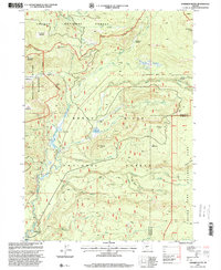
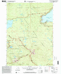
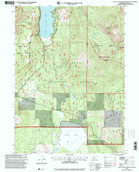
 1998 Agency Lake2000 Print · USGSThe Klamath Basin is captured here in the late nineties, showing a landscape of sprawling wetlands and forest boundaries. Researchers can trace the Modoc Point Main Line railroad past Klamath Agency, Lobert Cem, and the Williamson River Mission.
 - 1998 Map of Devils Peak, 2000 Print
 1998 Devils Peak2000 Print · USGSThe Cascade crest at the end of the century reveals a high-country wilderness defined by volcanic peaks and glacial lakes. Hikers and historians can trace the Pacific Crest National Scenic Trail past Devils Peak and the remote Seven Lakes Basin.
 - 1998 Map of Mount Mc Loughlin, 2000 Print
 1998 Mount Mc Loughlin2000 Print · USGSHigh Cascades wilderness and recreation predominate in the late nineties as three national forests meet at the county line. Trace the path of the Pacific Crest National Scenic Trail past Mount Mc Loughlin to the shores of Fish Lake Resort.
 - 1998 Map of Lake of The Woods South, 2000 Print
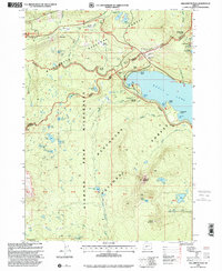
 1998 Lake of The Woods South2000 Print · USGSSouthern Klamath County in the late nineties is presented here as a wilderness of timber and high-altitude lakes. Researchers can trace the layout of Camp Esther Applegate and follow the paths through the Mountain Lakes Wilderness and Brown Mountain.
 - 1998 Map of Mount Thielsen, 2000 Print
 1998 Mount Thielsen2000 Print · USGSThe Oregon Cascades near the Douglas and Klamath county line are shown here in the late nineties, centered on the spire of Mount Thielsen. Outdoor historians and hikers can trace the Pacific Crest National Scenic Trail as it passes Tipsoo Peak and Lathrop Glacier.
 - 1998 Map of Crystal Spring, 2000 Print
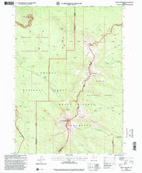
 1998 Crystal Spring2000 Print · USGSThe Klamath Basin landscape is captured here in the late nineties, showcasing the intersection of high wilderness and managed marshland. Researchers can trace the water infrastructure of the Wood River Valley or find sites like the Cherry Creek Guard Station and Crystal Spring.
Showing maps 1-25 of 88
Top cities of Klamath County
- Klamath Falls historical maps
- Altamont historical maps
- Merrill historical maps
- Chiloquin historical maps
- Malin historical maps
- Bonanza historical maps
Frequently asked questions
- What are the different types of historical maps available for Klamath County?
- What is the oldest map of Klamath County?
- Where can I purchase historical maps of Klamath County for my home or office?
- Where can I download high-res historical maps of Klamath County?
- Are there historical topographic maps available for Klamath County?
- Is there historical aerial imagery available for Klamath County?
- Where are historical maps of Klamath County sourced from?