1960s Maps of Morrow County, Oregon
Explore 47 historic maps of Morrow County from the 1960s. These maps offer a rare glimpse into what life looked like during the 1960s — showing old roads, neighborhoods, homes, and landmarks that have changed or disappeared over time.
Whether you're researching your family's past, planning a metal detecting trip, or studying how Morrow County's landscape evolved across the 1960s, these high-resolution maps are a powerful tool for exploring the history of this region.
- Focus on a specific era: All maps on this page are from the 1960s, giving you a focused view of this time period.
- See what’s changed: Compare century-old streets, trails, and buildings to today's modern landscape using overlays and satellite layers.
- Research with precision: Use these maps for genealogy, historical research, land use analysis, or educational projects.
- View, download, or print: Maps are fully viewable online in high resolution, and can be downloaded or printed for your own records.
Start exploring Morrow County's history through authentic maps from the 1960s. This is your window into the past.
Morrow County, OR maps
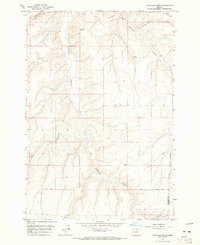
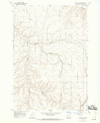
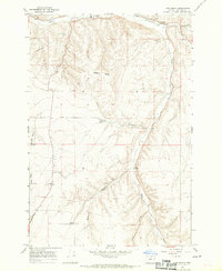
(47)- 1962 Map of Alderdale, 1963 Print
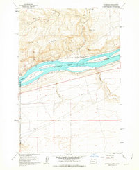 1962 Alderdale1963 Print · USGSThe Columbia River corridor is captured here in the early sixties, showing the rail-dominated landscape of the Oregon-Washington border. Researchers can trace the dual rail lines of the Spokane Portland and Seattle and Union Pacific through Alderdale and past Thanksgiving Island.2 unique versions available
 - 1962 Map of Blalock Island, 1963 Print
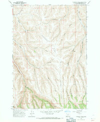
 1962 Blalock Island1963 Print · USGSThe Columbia River corridor in the early sixties reveals a landscape of high ridges and mid-river islands. Researchers can trace the Portland Seattle and Spokane railway past Telegraph Island and the rugged cuts of Glade Creek.2 unique versions available
 - 1962 Map of Ordnance, 1963 Print
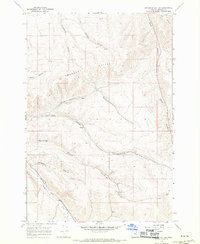
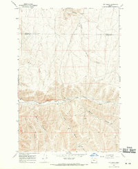
 1962 Ordnance1963 Print · USGSEastern Oregon in the early sixties is captured here, centered on the specialized military and irrigation landscape of the Columbia Basin. Researchers can trace the extensive Umatilla Ordnance Depot complex and find local markers like Munley, the Union Pacific rail line, and Lost Lake.2 unique versions available
 - 1962 Map of Paterson, 1963 Print
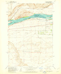
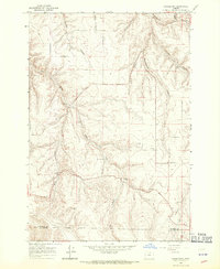
 1962 Paterson1963 Print · USGSThe Columbia River corridor is captured here in the early 1960s, showing the vital rail and water links between Washington and Oregon. Researchers can trace the legacy of the Paterson Ferry, the Spokane Portland and Seattle line, and the Irrigon Cemetery.2 unique versions available
 - 1962 Map of Boardman, 1963 Print
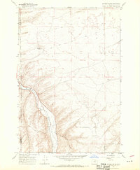
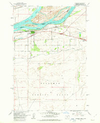 1962 Boardman1963 Print · USGSBoardman and the Columbia River islands are shown in detail during the early sixties, highlighting the era's critical rail and water transport networks. Researchers can trace family history through rural landmarks like Riverview Cem or explore the vast Boardman Bombing Range and the nearby Fairgrounds.3 unique versions available
 - 1962 Map of Clarke, 1963 Print
 1962 Clarke1963 Print · USGSMorrow County was a landscape of military reserves and rail junctions during the early sixties. Researchers can trace the perimeter of the Umatilla Ordnance Depot, locate the settlement of Clarke, and find historic water sources like Coyote Spring.3 unique versions available
 - 1962 Map of Irrigon, 1963 Print
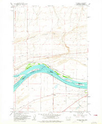
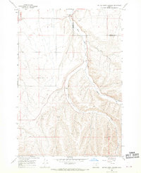
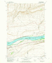 1962 Irrigon1963 Print · USGSIrrigon and the Columbia River riverfront are captured here in the early sixties, showing the vital intersection of rail and water. Researchers can trace the town's development through Houghton Sch, the local Cem, and the path of the Union Pacific line.3 unique versions available
 - 1962 Map of Crow Butte, 1963 Print
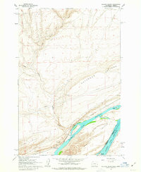
 1962 Crow Butte1963 Print · USGSThe Columbia River serves as a busy transport corridor in the early sixties, marking the border between Washington and Oregon. Researchers can trace historic river landings and military footprints through sites like Toms Camp, Castle Rock, and the Boardman Bombing Range.4 unique versions available
 - 1964 Map of Hickland Butte, 1965 Print
 1964 Hickland Butte1965 Print · USGSOregon's high desert plateau near the Gilliam and Morrow county line is captured here in the mid-sixties. You can trace the historic Oregon Trail (Approx Route) and locate isolated rural landmarks like Hickland Butte and local Cem sites.
 - 1967 Map of Freezeout Ridge, 1971 Print
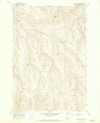
 1967 Freezeout Ridge1971 Print · USGSMorrow County's high ridges and deep canyons are captured here in the late sixties, a period of remote ranching and water management. Researchers can locate the Heppner City Well, the settlement at Luckman, and early access routes like the Jeep Trail.
 - 1968 Map of Service Buttes NW, 1969 Print
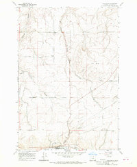
 1968 Service Buttes NW1969 Print · USGSUmatilla and Morrow counties in the late 1960s reveal a landscape of high desert ranching and historic migration routes. Genealogists and historians can trace the path of the Oregon Trail and locate local landmarks like Four Corners and the Landing Strip near Butter Creek.
 - 1968 Map of Swaggart Buttes, 1970 Print
 1968 Swaggart Buttes1970 Print · USGSMorrow County's high ranching country is captured here in the late sixties, just as the region’s topography was being meticulously documented. Researchers can trace the Union Pacific line along Willow Creek or locate the site of Rieper near Swaggart Buttes.
 - 1968 Map of Gooseberry, 1970 Print
 1968 Gooseberry1970 Print · USGSGooseberry and the high canyon country of north-central Oregon are captured here in the late sixties. Researchers can trace the layout of the Gooseberry settlement, identifying local landmarks like the Gooseberry Cem and the remote Landing Strip among the deep draws.
 - 1968 Map of Lexington, 1970 Print
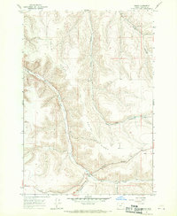
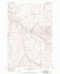 1968 Lexington1970 Print · USGSMorrow County's high plateau comes into focus in the late sixties as the rail-and-river economy of Lexington thrives. Genealogists and local historians can trace the Union Pacific line as it follows Willow Creek past the Grange Hall and Lexington Cem.
 - 1968 Map of Hoodlum Canyon, 1970 Print
 1968 Hoodlum Canyon1970 Print · USGSThe Oregon high country at the border of Morrow and Umatilla Counties is captured here in the late sixties. Genealogists and historians can trace the remote network of Jeep Trails and water sources like Butter Creek and Hoodlum Canyon.
 - 1968 Map of Ione North, 1970 Print
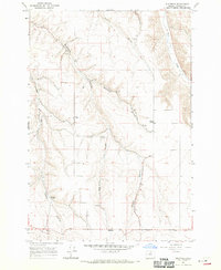
 1968 Ione North1970 Print · USGSMorrow County in the late sixties shows a landscape where high-desert canyons meet the rail-fed economy of Ione. Researchers can locate family landmarks like Highview Cem and Petteys Cem or trace the early industrial footprint of the Union Pacific line.
 - 1968 Map of Eightmile, 1970 Print
 1968 Eightmile1970 Print · USGSMorrow County's high plateau comes into focus in the late 1960s, showing a landscape shaped by agriculture and deep drainages. Genealogists and local historians can locate the Junkins Cemetery, the Liberty School, and the community of Valby.
 - 1968 Map of Utts Butte, 1970 Print
 1968 Utts Butte1970 Print · USGSMorrow County's high-plateau landscape is captured here in the late sixties, showcasing an intricate network of drainage canyons and upland farm infrastructure. Researchers can trace the winding Rattlesnake Grade or locate isolated rural markers like the Grain Elevator and Utts Butte.
 - 1968 Map of Dalreed Butte, 1970 Print
 1968 Dalreed Butte1970 Print · USGSMorrow and Gilliam counties were still remote desert landscapes in the late sixties, where pioneer history and rail infrastructure met. Trace the historic paths of the Oregon Tr and Immigrant Road as they overlook the Union Pacific tracks in the Willow Creek canyon.
 - 1968 Map of Ruggs, 1970 Print
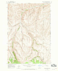
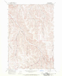
 1968 Ruggs1970 Print · USGSMorrow County ranching and wheat country come into focus during the late sixties as the high ridges begin their descent toward the creek bottoms. Researchers can locate the small settlement at Ruggs and trace industrial landmarks like the Grain Elevator and Borrow Pit.
 - 1968 Map of Lena, 1970 Print
 1968 Lena1970 Print · USGSThe settlement of Lena and the surrounding high-desert canyons of Morrow County are captured here in the late sixties. Researchers can locate the Pleasant Point Cemetery and trace the many natural springs and canyons, including Little Butter Creek and Morris Butte.
 - 1968 Map of Ione South, 1970 Print
 1968 Ione South1970 Print · USGSMorrow County's high plateau country was defined by grain transport and deep canyons in the late 1960s. You can trace the Union Pacific rail corridor past the Grain Elevators of Ione and follow the winding Rattlesnake Grade toward Fairview.
 - 1968 Map of Gleason Butte, 1970 Print
 1968 Gleason Butte1970 Print · USGSMorrow County's high-desert canyons and rangelands are documented here in the late sixties, just as modern communications began to dot the peaks. Trace the rugged terrain of Milk Canyon or locate markers like Anderson Camp and the Radio Facility.
 - 1968 Map of Vey Ranch, 1970 Print
 1968 Vey Ranch1970 Print · USGSRanching life on the Morrow and Umatilla county line comes into focus in the late sixties. Genealogists and local historians can trace the homesteading footprint through Vey Ranch, Landing Strips, and the various paths crossing Butter Creek.
 - 1968 Map of Butter Creek Junction, 1970 Print
 1968 Butter Creek Junction1970 Print · USGSThe Morrow and Umatilla county line comes alive in the late sixties, showcasing a landscape of isolated homesteads and high-desert creek valleys. Researchers can trace the location of Galloway (Site), the grain-handling works at Butter Creek Junction, and a rural Cem.
Showing maps 1-25 of 47
Top cities of Morrow County
- Boardman historical maps
- Irrigon historical maps
- Heppner historical maps
- Ione historical maps
- Lexington historical maps
Frequently asked questions
- What are the different types of historical maps available for Morrow County?
- What is the oldest map of Morrow County?
- Where can I purchase historical maps of Morrow County for my home or office?
- Where can I download high-res historical maps of Morrow County?
- Are there historical topographic maps available for Morrow County?
- Is there historical aerial imagery available for Morrow County?
- Where are historical maps of Morrow County sourced from?