2020s Maps of Morrow County, Oregon
Explore 112 historic maps of Morrow County from the 2020s. These maps offer a rare glimpse into what life looked like during the 2020s — showing old roads, neighborhoods, homes, and landmarks that have changed or disappeared over time.
Whether you're researching your family's past, planning a metal detecting trip, or studying how Morrow County's landscape evolved across the 2020s, these high-resolution maps are a powerful tool for exploring the history of this region.
- Focus on a specific era: All maps on this page are from the 2020s, giving you a focused view of this time period.
- See what’s changed: Compare century-old streets, trails, and buildings to today's modern landscape using overlays and satellite layers.
- Research with precision: Use these maps for genealogy, historical research, land use analysis, or educational projects.
- View, download, or print: Maps are fully viewable online in high resolution, and can be downloaded or printed for your own records.
Start exploring Morrow County's history through authentic maps from the 2020s. This is your window into the past.
Morrow County, OR maps
(112)- 2020 Map of Paterson, 2020 Print
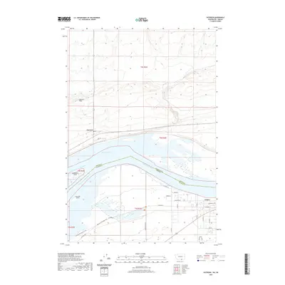 2020 Paterson2020 Print · USGSThe Columbia River corridor near the Washington-Oregon border is shown here in modern detail. Researchers can trace historical routes like the Morrow Co Heritage Trail and locate family landmarks near Irrigon or the old river crossing at Paterson Ferry Rd.
 - 2020 Map of Golgotha Butte, 2020 Print
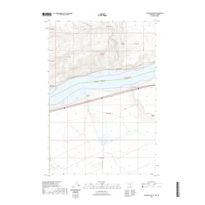 2020 Golgotha Butte2020 Print · USGSThe Columbia River frontier of Klickitat and Morrow counties appears here in the contemporary era. Researchers can trace the waterfront settlements of Alderdale and McCredie or locate the deep incisions of Threemile Canyon and Sixmile Canyon.
 - 2020 Map of West of Paterson, 2020 Print
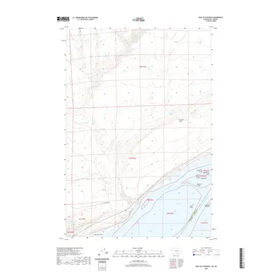 2020 West of Paterson2020 Print · USGSBenton County, Washington, and Morrow County, Oregon, meet along the Columbia River in this modern topographic study. Researchers can trace the river's path around Big Blalock Island, explore the heights of Paterson Ridge, and locate local landmarks like the Sandpiper Farms Settling Pond.
 - 2020 Map of Crow Butte, 2020 Print
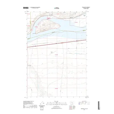 2020 Crow Butte2020 Print · USGSThe Columbia River shoreline near the Washington-Oregon border is captured here during the 2020s. Researchers can trace the development of the river valley through landmarks like Crow Butte, the historic site of Whitcomb, and the Boardman Airport.
 - 2020 Map of Slickear Mountain, 2020 Print
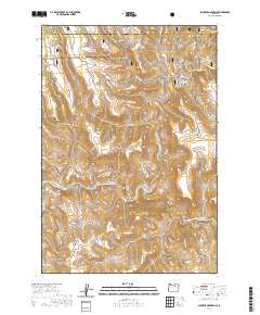 2020 Slickear Mountain2020 Print · USGSMorrow and Grant counties are captured in the 2020s as the North Fork John Day River winds through the forest. Researchers can trace high-altitude landmarks like Slickear Mtn, Potamus Ridge, and Elder Flat.
 - 2020 Map of Devils Gap, 2020 Print
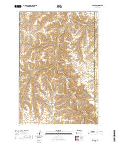 2020 Devils Gap2020 Print · USGSGilliam County's high-plateau ranching country is mapped here in the modern era, showing the deeply carved canyon systems of north-central Oregon. Researchers can trace remote family landmarks and water sources like Brown Cem, Box Elder Spring, and the namesake Devils Gap.
 - 2020 Map of Ritter, 2020 Print
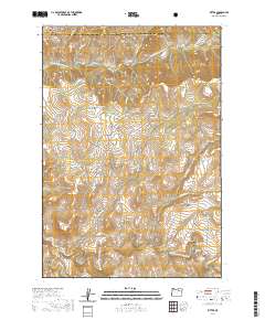 2020 Ritter2020 Print · USGSNear the confluence of the John Day River forks, this mid-century area of eastern Oregon highlights a landscape of springs and ranches. Genealogists and local historians can trace the foundations of the Ritter community through landmarks like Ritter Cem, Ritter Hot Springs, and Dickerson Ranch.
 - 2020 Map of Collins Butte, 2020 Print
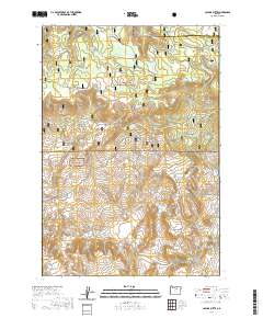 2020 Collins Butte2020 Print · USGSWheeler County and Morrow County meet in these timberlands during the early twenty-first century. Researchers can trace forest management and water rights through landmarks like Long Prairie Reservoir, Collins Butte, and High Spring Ridge.
 - 2020 Map of Whitetail Butte, 2020 Print
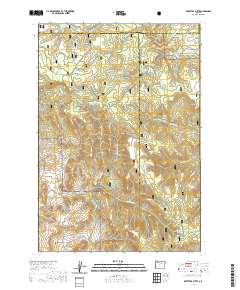 2020 Whitetail Butte2020 Print · USGSThe high timberlands and volcanic buttes of Wheeler County are documented here in the modern era. Genealogists and local historians can trace the remote Haystack Cem and primitive routes through Umatilla National Forest and Wilson Prairie.
 - 2020 Map of Johnny Cake Mountain, 2020 Print
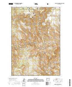 2020 Johnny Cake Mountain2020 Print · USGSNortheastern Oregon's high forest and canyon country are documented here in the 2020s, showing the intersection of Morrow and Grant counties. Researchers can trace remote water sources like Buckhorn Spring and high-elevation landmarks such as Johnny Cake Mtn and Neal Butte.
 - 2020 Map of Wolf Hollow Falls, 2020 Print
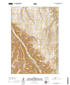 2020 Wolf Hollow Falls2020 Print · USGSGilliam County's high plateau and canyon country are captured in this recent survey of the uplane drainage system east of the John Day River. Researchers can locate the Flett Cem and trace the steep descents into Wolf Hollow Falls and Waterfalls Hollow.
 - 2020 Map of Hickland Butte, 2020 Print
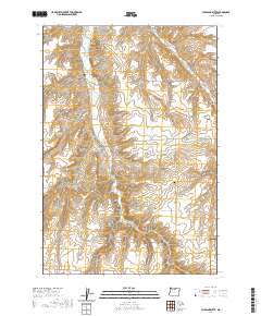 2020 Hickland Butte2020 Print · USGSGilliam County's high plateau country is captured here during the late twenty-teens, showing a landscape of deep canyons and remote homestead routes. Genealogists can locate family landmarks such as the Eightmile Cem and Tommy Dean Cem near Hickland Butte.
 - 2020 Map of Turner Mountain, 2020 Print
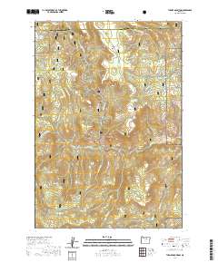 2020 Turner Mountain2020 Print · USGSThe high timberlands of Morrow and Grant counties are captured here in the contemporary era. Researchers can trace land features like Happy Jack Ridge, locate remote water sources such as CCC Spring, and study the drainage of Big Wall Cr.
 - 2020 Map of Ordnance, 2020 Print
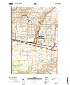 2020 Ordnance2020 Print · USGSThe Oregon high desert meets sophisticated irrigation engineering in this 2020 study of the Morrow and Umatilla county line. Researchers can trace the vital water routes of the W Extension Irrigation Canal and find family-named routes like Stafford Hansel Rd.
 - 2020 Map of Eightmile, 2020 Print
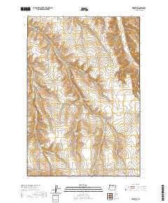 2020 Eightmile2020 Print · USGSMorrow County rangeland remains a landscape of deep canyons and quiet settlements in this recent survey. Local researchers can locate family landmarks like Valby Cem and Junkins Cem or trace water sources at Petersons Ponds and Dripping Springs.
 - 2020 Map of Thompson Flat, 2020 Print
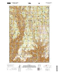 2020 Thompson Flat2020 Print · USGSThe high forest of the Blue Mountains is mapped here during the late twenty-teens, showing a landscape of deep canyons and winter access routes. Trace the isolated plateau of Thompson Flat or locate remote landmarks like Zion Scope and Potamus Point.
 - 2020 Map of Strawberry Canyon SW, 2020 Print
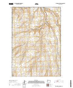 2020 Strawberry Canyon SW2020 Print · USGSThe Columbia Basin of Morrow County is shown here in the contemporary era, defined by its deep canyon drainages and rural road networks. Researchers can trace land use and local geography through family-named routes like Proudfoot Rd and landmarks such as McDevitt Springs or Strawberry Canyon.
 - 2020 Map of Ruggs, 2020 Print
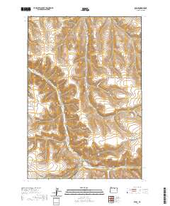 2020 Ruggs2020 Print · USGSMorrow County's high-desert interior is captured here in the modern era, centered on the settlement of Ruggs. Genealogists and historians can trace the paths of Rhea Creek Rd and Benge Rd while locating landmarks like Social Ridge and Als Spring.
 - 2020 Map of Strawberry Canyon NE, 2020 Print
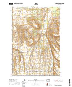 2020 Strawberry Canyon NE2020 Print · USGSMorrow County's high desert landscape is documented here in the early twenty-first century, showing a region defined by agricultural infrastructure and ranching. Trace the intersections of modern range management and history along Bombing Range Rd, Wagon Trail Rd, and Finley Buttes.
 - 2020 Map of Chapin Creek, 2020 Print
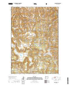 2020 Chapin Creek2020 Print · USGSMorrow County's high plateaus and canyonlands are documented here in the 2020s, showing a remote landscape of the Umatilla National Forest. Researchers can trace old routes across French Pass and locate secluded water sources like Brown Cabin Spring and Little Round Prairie Spring.
 - 2020 Map of Buttermilk Canyon, 2020 Print
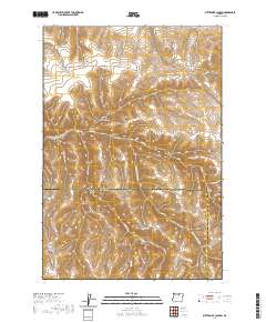 2020 Buttermilk Canyon2020 Print · USGSThe high plateau country of Gilliam and Morrow Counties was documented in 2020, showing a landscape shaped by rugged drainages and ranching roads. Researchers can trace land-use patterns through family-named landmarks like Harshman Canyon and topographic features such as Rood Hill and Eightmile Canyon.
 - 2020 Map of Summerfield Ridge, 2020 Print
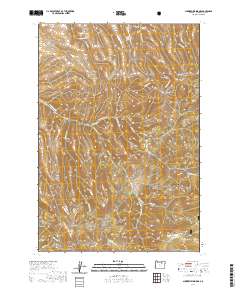 2020 Summerfield Ridge2020 Print · USGSMorrow County's high ridges and deep canyons are documented here in the 2020s, showcasing the transition from national forest to ranch land. Researchers can trace the Copple Butte Trail and locate vital water sources like Sperry Spring and Smith Birch Spring.
 - 2020 Map of Lefevre Prairie, 2020 Print
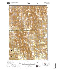 2020 Lefevre Prairie2020 Print · USGSThe high plateau and canyon country near the Gilliam and Morrow county lines is documented here in the early twenty-first century. Family historians and researchers can locate the Lonerock Cem and trace seasonal water sources like Perry Spring and Brandenburg Reservoir.
 - 2020 Map of Lena, 2020 Print
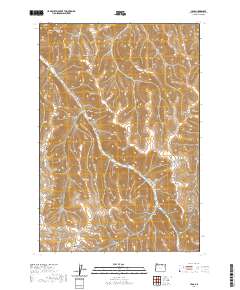 2020 Lena2020 Print · USGSMorrow County's high-plateau landscape is revealed in this modern topographic study, centered on the rural community of Lena. Genealogists and historians can locate the Pleasant Point Cem and trace the winding course of Little Butter Cr through its many side ravines.
 - 2020 Map of Ella, 2020 Print
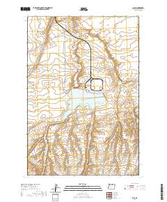 2020 Ella2020 Print · USGSMorrow County's high plateau comes into focus in this recent survey of the Oregon interior. Trace the local topography through Poverty Ridge and Fourmile Canyon, or locate the historic settlement area of Ella near the Carty Reservoir.
Showing maps 1-25 of 112
Top cities of Morrow County
- Boardman historical maps
- Irrigon historical maps
- Heppner historical maps
- Ione historical maps
- Lexington historical maps
Frequently asked questions
- What are the different types of historical maps available for Morrow County?
- What is the oldest map of Morrow County?
- Where can I purchase historical maps of Morrow County for my home or office?
- Where can I download high-res historical maps of Morrow County?
- Are there historical topographic maps available for Morrow County?
- Is there historical aerial imagery available for Morrow County?
- Where are historical maps of Morrow County sourced from?