1980s Maps of Colleton County, South Carolina
Explore 27 historic maps of Colleton County from the 1980s. These maps offer a rare glimpse into what life looked like during the 1980s — showing old roads, neighborhoods, homes, and landmarks that have changed or disappeared over time.
Whether you're researching your family's past, planning a metal detecting trip, or studying how Colleton County's landscape evolved across the 1980s, these high-resolution maps are a powerful tool for exploring the history of this region.
- Focus on a specific era: All maps on this page are from the 1980s, giving you a focused view of this time period.
- See what’s changed: Compare century-old streets, trails, and buildings to today's modern landscape using overlays and satellite layers.
- Research with precision: Use these maps for genealogy, historical research, land use analysis, or educational projects.
- View, download, or print: Maps are fully viewable online in high resolution, and can be downloaded or printed for your own records.
Start exploring Colleton County's history through authentic maps from the 1980s. This is your window into the past.
Colleton County, SC maps
(27)- 1980 Map of Cottageville
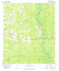 1980 Cottageville1980 Print · USGSThe Lowcountry landscape of the 1970s is captured here as the Edisto River winds past historical landings and the settlement of Cottageville. Researchers can trace family history through numerous sites like Church Hill Cem, Macedonia Ch, and the Sullivans Ferry crossing.2 unique versions available
 - 1981 Map of Sylvania, 1982 Print
 1981 Sylvania1982 Print · USGSThe Georgia and South Carolina borderlands appear in the early 1980s, centered on the river-fed swamps and railroad towns between Sylvania and Estill. Trace family roots and vanished infrastructure along the Central of Georgia line or near Magnolia Springs State Park.
 - 1982 Map of Williams
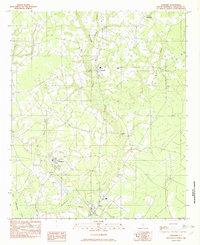 1982 Williams1982 Print · USGSColleton County in the early eighties remains a rural landscape defined by small crossroads settlements and slow-moving water. Trace the family lands and local paths connecting Smoaks, Williams, and Ruffin along the banks of Buckhead Creek.
 - 1982 Map of Branchville South, 1983 Print
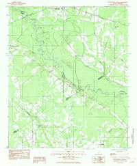 1982 Branchville South1983 Print · USGSThe Edisto River lowlands were still defined by traditional river crossings and rural church communities in the early 1980s. Researchers can locate family landmarks like Mc Alhany Cem and the river-crossing at Sandy Island Bridge near Branchville.
 - 1982 Map of Tony Hill Bay, 1983 Print
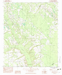 1982 Tony Hill Bay1983 Print · USGSBamberg and Colleton Counties are captured in the early eighties as a landscape of rural congregations and distinct Carolina bays. Researchers can trace family roots at Prospect Cem and locate numerous local landmarks like Hunters Chapel and Woodlawn Ch.
 - 1982 Map of St. George SW, 1983 Print
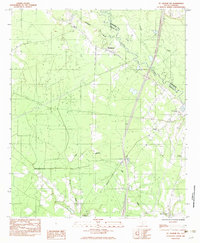 1982 St. George SW1983 Print · USGSColleton and Dorchester counties are captured here in the early 1980s as the river-and-rail economy defined the landscape. Researchers can trace family roots through numerous sites like Spell Cem, Springtown, and the Seaboard Coast Line Railroad.
 - 1982 Map of Grover, 1983 Print
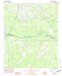 1982 Grover1983 Print · USGSDorchester and Colleton counties are captured in the early eighties as the river-bound communities maintained their rural character. Researchers can trace family history through numerous landmarks like Utsey Cem, St Lukes Ch, and the crossing at Stokes Bridge.
 - 1982 Map of Reevesville, 1983 Print
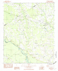 1982 Reevesville1983 Print · USGSReevesville and the surrounding rural communities of Dorchester County are captured here in the early eighties. Researchers can trace family roots through numerous local landmarks, including Magnolia Cemetery, Sugar Hill, and the tracks of the SOUTHERN railroad.
 - 1982 Map of Lodge, 1983 Print
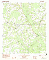 1982 Lodge1983 Print · USGSThe rural Lowcountry of Colleton and Bamberg counties is captured here in the early 1980s, centered on the village of Lodge. Researchers can trace old family sites and rural landmarks like Goodwin Cem, the Seaboard Coast Line railroad, and Little Swamp Ch.
 - 1982 Map of Ehrhardt, 1983 Print
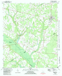 1982 Ehrhardt1983 Print · USGSThe Salkehatchie River lowlands of the early eighties reveal a landscape of rural crossroads and riverfront history. Researchers can locate family landmarks like the Kearse-Brabham Cem, Lewis Butler Sch, and the historical grounds of Rivers Bridge State Park.
 - 1982 Map of Barnwell, 1984 Print
 1982 Barnwell1984 Print · USGSCoastal plain settlements and a massive nuclear infrastructure meet in South Carolina during the early eighties. Genealogists and historians can trace rail-town development along the Southern line and explore the footprint of the Savannah River Plant Department of Energy.
 - 1985 Map of Saint George, 1986 Print
 1985 Saint George1986 Print · USGSThe South Carolina Lowcountry in the mid-eighties shows a landscape defined by the great reservoirs and the meandering Edisto River. Researchers can trace the rail corridors of the Southern Railway and find rural settlements like Harleyville, Smoaks, and Grover.
 - 1986 Map of Walterboro
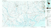 1986 Walterboro1986 Print · USGSThe South Carolina Lowcountry in the mid-eighties remains a world of expansive wetlands and historic river crossings. Genealogists and historians can trace the rural communities and landmarks of Colleton and Charleston counties, from the Baptist Church at Adams Run to the coastal reaches of Edisto Beach State Park.
 - 1988 Map of Wiggins
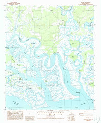 1988 Wiggins1988 Print · USGSThe Lowcountry marshes of Colleton and Beaufort counties are shown here in the late 1980s as a complex web of tidal rivers and islands. Genealogists and historians can trace old landings and family-named landforms like Fields Point, Chisolm Islands, and the settlement at Wiggins.
 - 1988 Map of White Hall
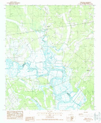 1988 White Hall1988 Print · USGSThe Lowcountry riverfront of South Carolina is captured here in the late 1980s as it winds through the Colleton and Beaufort county line. Researchers can trace the extensive Levee systems and riverfront sites like Bonny Hall, White Hall, and Hickory Hill.
 - 1988 Map of Black Creek
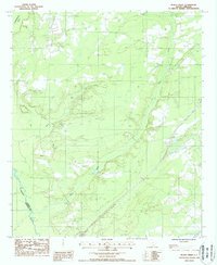 1988 Black Creek1988 Print · USGSThe Colleton County Lowcountry in the late eighties remains dominated by the sprawling wetlands of the Combahee River. Genealogists and local historians can trace the paths of Bull Run and Sandy Run, or locate a rural Cem and the site of a local Fire Tower.
 - 1988 Map of Neyles
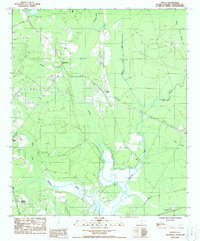 1988 Neyles1988 Print · USGSColleton County in the late eighties remains a landscape defined by its blackwater streams and small rural crossroads. Genealogists and local historians can trace the locations of Neyles, Ritter, and Ashepoo Crossing amidst the waters of Horseshoe Creek.
 - 1988 Map of Dale
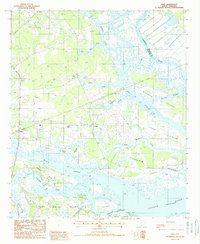 1988 Dale1988 Print · USGSCoastal Beaufort County in the late eighties is defined by the labyrinthine waterways and islands between the Combahee and Coosaw rivers. Genealogists and local historians can trace the Old RR Grade and find early sites at Dale, Lobeco, and Keans Neck.
 - 1988 Map of Hendersonville
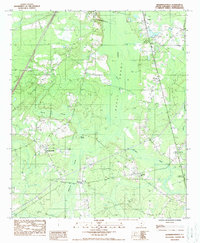 1988 Hendersonville1988 Print · USGSColleton County in the late eighties shows a landscape of Lowcountry wetlands and scattered rail-side settlements. Genealogists can trace family landmarks near Hendersonville, Catholic Hill, and the river crossing at Ritter.
 - 1988 Map of Yemassee
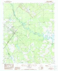 1988 Yemassee1988 Print · USGSThe Lowcountry landscape of the late twentieth century is defined by the rail junction at Yemassee and the winding Combahee River. Genealogists and historians can trace the footprint of rural communities like Pocotaligo, Salkehatchie, and Blountville.
 - 1988 Map of Islandton
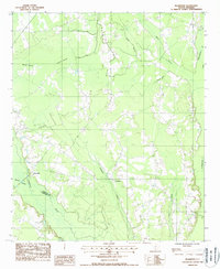 1988 Islandton1988 Print · USGSThe Lowcountry river plains of Colleton and Hampton Counties are captured in the late twentieth century, showing a landscape shaped by water. Genealogists and historians can trace the rural tracts near Islandton and landmarks like Tobys Bluff or Rum Gully.
 - 1988 Map of Sniders Crossroads
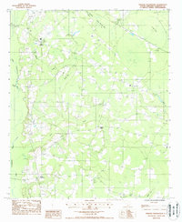 1988 Sniders Crossroads1988 Print · USGSColleton County in the late eighties remains a landscape of traditional crossroads and lowcountry wetlands. Genealogists and local historians can trace family locations near Sniders Crossroads or locate rural sites like Hudsons Mill and Bells Crossroads.
 - 1988 Map of Cummings
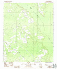 1988 Cummings1988 Print · USGSThe Lowcountry settlements of Hampton and Colleton counties are captured in the late eighties as they navigate a landscape of rivers and pines. Genealogists and historians can trace the areas around Cummings and Fechtig, locating Cem sites and old Tram Lines.
 - 1988 Map of Crocketville
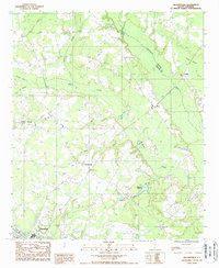 1988 Crocketville1988 Print · USGSHampton County and the Salkehatchie River basin are shown here in the late 1980s as the region maintained its rural character and wetland-dependent economy. Researchers can trace local family landmarks and community centers like Cleland Crossroads, Crocketville, and the historic Maulding Millpond.
 - 1988 Map of Walterboro
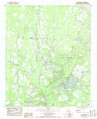 1988 Walterboro1988 Print · USGSWalterboro and the surrounding Lowcountry wetlands are documented in the late eighties as the region balanced its rural roots with growing infrastructure. Genealogists and local historians can trace family-named areas like Rhodes Crossroads and Smokes Corners or locate the Ashepoo River headwaters.
Showing maps 1-25 of 27
Top cities of Colleton County
- Walterboro historical maps
- Cottageville historical maps
- Edisto Beach historical maps
- Smoaks historical maps
- Williams historical maps
- Lodge historical maps
Frequently asked questions
- What are the different types of historical maps available for Colleton County?
- What is the oldest map of Colleton County?
- Where can I purchase historical maps of Colleton County for my home or office?
- Where can I download high-res historical maps of Colleton County?
- Are there historical topographic maps available for Colleton County?
- Is there historical aerial imagery available for Colleton County?
- Where are historical maps of Colleton County sourced from?