2020s Maps of Colleton County, South Carolina
Explore 64 historic maps of Colleton County from the 2020s. These maps offer a rare glimpse into what life looked like during the 2020s — showing old roads, neighborhoods, homes, and landmarks that have changed or disappeared over time.
Whether you're researching your family's past, planning a metal detecting trip, or studying how Colleton County's landscape evolved across the 2020s, these high-resolution maps are a powerful tool for exploring the history of this region.
- Focus on a specific era: All maps on this page are from the 2020s, giving you a focused view of this time period.
- See what’s changed: Compare century-old streets, trails, and buildings to today's modern landscape using overlays and satellite layers.
- Research with precision: Use these maps for genealogy, historical research, land use analysis, or educational projects.
- View, download, or print: Maps are fully viewable online in high resolution, and can be downloaded or printed for your own records.
Start exploring Colleton County's history through authentic maps from the 2020s. This is your window into the past.
Colleton County, SC maps
(64)- 2020 Map of Branchville South, 2020 Print
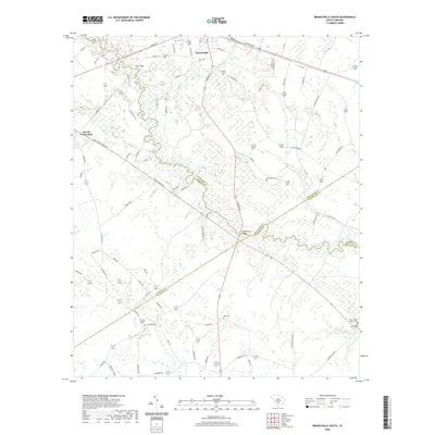 2020 Branchville South2020 Print · USGSBranchville and the rural Lowcountry of the early twenty-first century are captured here as the Edisto River winds through four bordering counties. Genealogists can locate family burial grounds including Buckhead Cem, Risher Cem, and the May - Stokes - Raysor Cem.
 - 2020 Map of Canadys, 2020 Print
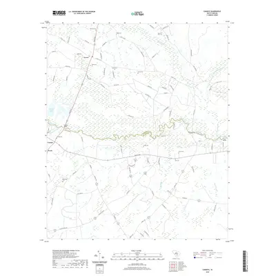 2020 Canadys2020 Print · USGSCoastal plain wetlands and the winding Edisto River define this rural South Carolina landscape at the turn of the 2020s. Researchers can locate numerous family burial sites like Murray Cem and Gruber Cem, alongside river landmarks including Serenity Bluff.
 - 2020 Map of Lodge, 2020 Print
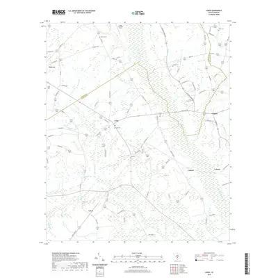 2020 Lodge2020 Print · USGSThe Lowcountry borderlands of Bamberg and Colleton counties are shown here in the contemporary era, defined by the winding Little Salkehatchie River. Researchers can locate family landmarks like Bethany Cem, trace the rural reaches of Ashton, and follow local routes like the Cantaloupe Belt.
 - 2020 Map of Saint George SW, 2020 Print
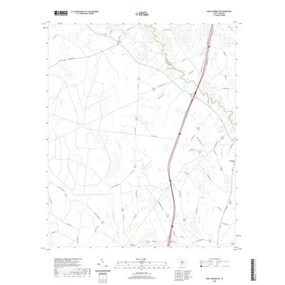 2020 Saint George SW2020 Print · USGSThe Dorchester and Colleton county line comes alive in this study of the South Carolina low country. Genealogists can locate family sites such as Green Pond Cem and Mount Carmel Cem or trace the Edisto River crossing at Raysor Bridge.
 - 2020 Map of Williams, 2020 Print
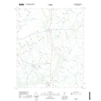 2020 Williams2020 Print · USGSThis rural Colleton County landscape is documented at the start of the 2020s, centered on the crossroads of Smoaks and Williams. Genealogists can trace family heritage through numerous burial sites including Colonel Joseph Risher Cem and Trinity Cem along Buckhead Cr.
 - 2020 Map of Reevesville, 2020 Print
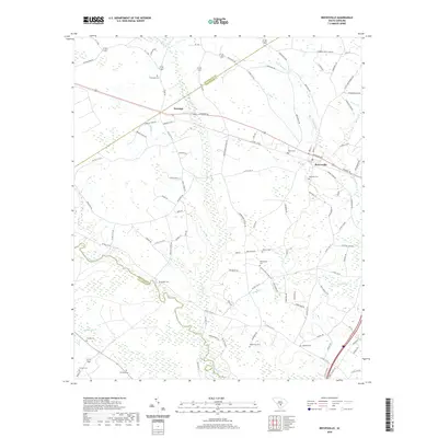 2020 Reevesville2020 Print · USGSDorchester County and the surrounding low-country wetlands are captured here in the modern era. Genealogists can trace family heritage at numerous rural burial sites including Thompson Cemetery, Magnolia Cemetery, and Beulah Cemetery.
 - 2020 Map of Crocketville, 2020 Print
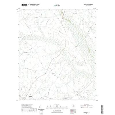 2020 Crocketville2020 Print · USGSThe South Carolina Lowcountry is documented here in the early twenty-first century as it borders the Salkehatchie River. Researchers can trace the rural layout of Crocketville and Miley, or locate family sites like Gooding Cem.
 - 2020 Map of Maple Cane Swamp, 2020 Print
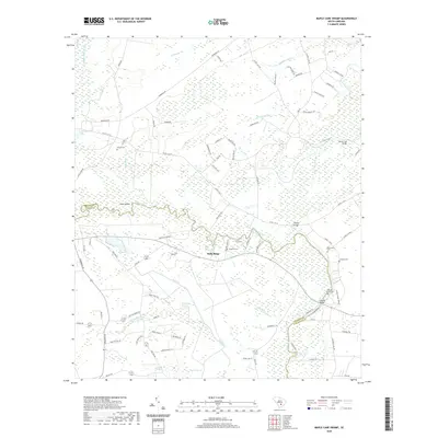 2020 Maple Cane Swamp2020 Print · USGSThe Edisto River Lowcountry comes into focus in the early twenty-first century, showing the intricate wetlands of Colleton and Dorchester counties. Researchers can pinpoint family burial sites like Givhans Ferry Cem and trace historic crossings at Harleys Bridge or Horse Ford Bridge.
 - 2020 Map of Wiggins, 2020 Print
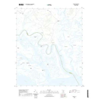 2020 Wiggins2020 Print · USGSThe South Carolina Lowcountry is captured in the recent past, showcasing the tidal marshes and winding river channels between Beaufort and Colleton counties. Genealogists and historians can locate family landmarks such as Keans Neck and Tar Bluff or trace the waterways of Old Combahee Island and Chisolm.
 - 2020 Map of Edisto Island, 2020 Print
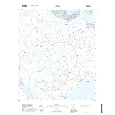 2020 Edisto Island2020 Print · USGSThe South Carolina Lowcountry is captured here in detail as it appeared in recent years, showing the tidal marshes and islands around Edisto Beach. Researchers can trace local landmarks like Trinity Cem, the settlement of Freedman, and the unique geography of The Mound.
 - 2020 Map of Dale, 2020 Print
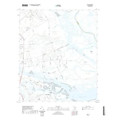 2020 Dale2020 Print · USGSCoastal Beaufort County in 2020 remains a landscape of intricate tidal waterways and rural hamlets. Genealogists and historians can trace family-named roads and landings near Dale, Lobeco, and Stewarts Point, or explore the geography of Keans Neck and Browns Island.
 - 2020 Map of Neyles, 2020 Print
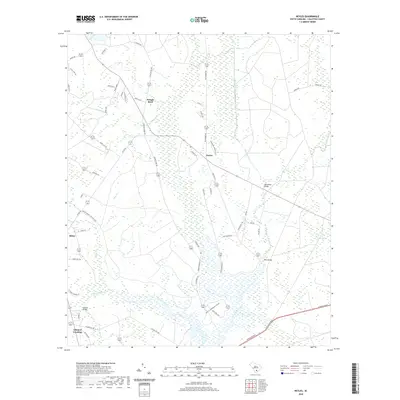 2020 Neyles2020 Print · USGSColleton County's lowcountry landscape is captured here in the modern era, showing the enduring relationship between the river and its inhabitants. Genealogists and locals can trace family lands near Neyles, Pringle Bend, and historical crossings like Price Bridge.
 - 2020 Map of Cottageville, 2020 Print
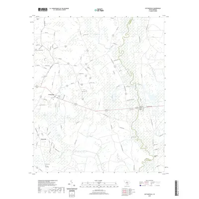 2020 Cottageville2020 Print · USGSCottageville and the Edisto River valley are shown in this contemporary study of Colleton County's Lowcountry terrain. Genealogists can trace family names at Macedonia Cem and Reeves Cem, or locate landmarks like Harts Bluff.
 - 2020 Map of Hendersonville, 2020 Print
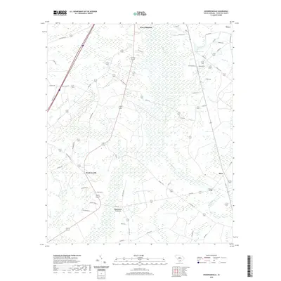 2020 Hendersonville2020 Print · USGSColleton County's Lowcountry wetlands and rural settlements are mapped here in the modern era. Genealogists and historians can trace family land via Hendersonville, Bluehouse Corners, and river crossings like Fishpond Bridge along the Ashepoo River.
 - 2020 Map of Sniders Crossroads, 2020 Print
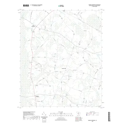 2020 Sniders Crossroads2020 Print · USGSColleton County's rural crossroads and family cemeteries are documented here in recent years as they sit within the drainage of the Little Salkehatchie River. Researchers can trace local heritage through landmarks like Sniders Crossroads, Hudsons Mill, and Breland Cem.
 - 2020 Map of Islandton, 2020 Print
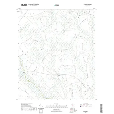 2020 Islandton2020 Print · USGSIslandton and the surrounding Colleton County lowlands are documented here in the early twenty-first century as the local rivers shape the landscape. Genealogists and historians can locate rural landmarks such as Rice Path Cem, Toby Bluff, and the winding Salkehatchie River.
 - 2020 Map of Edisto Beach, 2020 Print
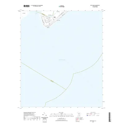 2020 Edisto Beach2020 Print · USGSCoastal South Carolina comes into focus in this recent survey of the barrier island landscape. Trace the modern street grid of Edisto Beach and navigate the tidal reaches of South Edisto Inlet and Big Bay Creek.
 - 2020 Map of Walterboro, 2020 Print
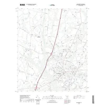 2020 Walterboro2020 Print · USGSWalterboro and its surrounding Lowcountry landscape are documented here in the early twenty-first century, showing the town's modern growth alongside its deep historical roots. Researchers can trace local lineage through numerous sites like Doctors Creek Cem, Zion Cem, and the Colleton County Courthouse.
 - 2020 Map of Bennetts Point, 2020 Print
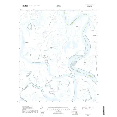 2020 Bennetts Point2020 Print · USGSThe coastal waters and island networks of the South Carolina Lowcountry are captured here just before the 2020s. Researchers can trace the riverfront at Bennetts Point or locate family landmarks near Seabrook, Ashe Island, and the winding South Edisto River.
 - 2020 Map of Frogmore, 2020 Print
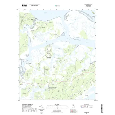 2020 Frogmore2020 Print · USGSThe Sea Islands of Beaufort County are captured here in the contemporary era, centered on the cultural heart of Frogmore. Genealogists and historians can trace deep family roots through numerous burial sites like Laurel Hill Cem, Piedmont Cem, and Burgess Cem.
 - 2020 Map of Jacksonboro, 2020 Print
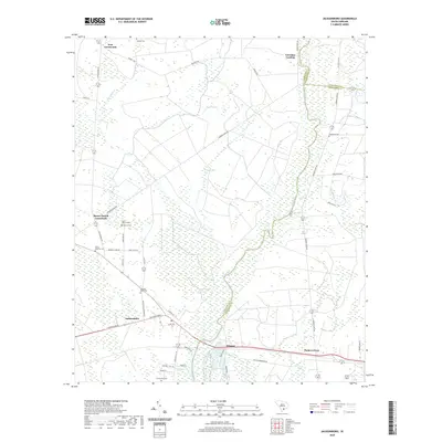 2020 Jacksonboro2020 Print · USGSThe Lowcountry riverfront near the Colleton and Charleston county lines is documented here in the early twenty-first century. Genealogists and historians can trace family landmarks and early settlements like Jacksonboro, the Isaac Hayne Tomb, and White Meeting Cem.
 - 2020 Map of Round O, 2020 Print
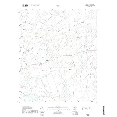 2020 Round O2020 Print · USGSThe rural Lowcountry of Colleton County is captured here in the early twenty-first century, showing a landscape shaped by its many wetlands. Researchers can trace family names and local landmarks through sites like Round O, Drigger Crossroads, and Lake Lucious.
 - 2020 Map of Rockville, 2020 Print
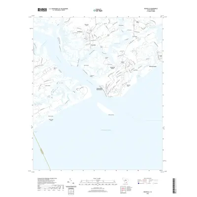 2020 Rockville2020 Print · USGSThe Lowcountry sea islands are captured in the modern era, showing the intersection of coastal development and maritime tradition. Researchers can trace land tracts from Wadmalaw Island to Edisto Island, locating landmarks like Rockville and the Andell Bridge.
 - 2020 Map of Green Pond, 2020 Print
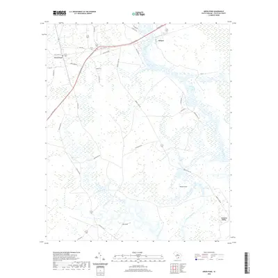 2020 Green Pond2020 Print · USGSThe South Carolina Lowcountry comes to life in this recent study of the river systems near Green Pond. Genealogists and local historians can trace the wetland fringes and coastal roads surrounding Ashepoo, Minkey Island, and the Chehaw River.
 - 2020 Map of Black Creek, 2020 Print
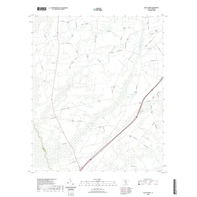 2020 Black Creek2020 Print · USGSThe Lowcountry landscape of Colleton County is defined by its dense river systems and family homesteads in the early twenty-first century. Researchers can trace land patterns near Big Survey Lake and locate the historic Shiloh Cem along the Salkehatchie River basin.
Showing maps 1-25 of 64
Top cities of Colleton County
- Walterboro historical maps
- Cottageville historical maps
- Edisto Beach historical maps
- Smoaks historical maps
- Williams historical maps
- Lodge historical maps
Frequently asked questions
- What are the different types of historical maps available for Colleton County?
- What is the oldest map of Colleton County?
- Where can I purchase historical maps of Colleton County for my home or office?
- Where can I download high-res historical maps of Colleton County?
- Are there historical topographic maps available for Colleton County?
- Is there historical aerial imagery available for Colleton County?
- Where are historical maps of Colleton County sourced from?