Old Maps of Fort Pierre, South Dakota for Metal Detecting
Plan your next treasure hunt with 24 historic maps of Fort Pierre. Find old homesites, ghost towns, trails, and gathering spots that may be lost to time — perfect for identifying promising metal detecting locations.
- Locate forgotten sites: Uncover places like long-lost settlements, abandoned rail lines, or gathering spots.
- Plan better hunts: Use map overlays combined with LiDAR or satellite views to narrow in on historically rich areas.
- Made for detectorists: Thousands of hobbyists use these maps to discover relics, coins, and hidden history.
Use these historic maps to boost your research and find new opportunities beneath the surface of Fort Pierre.
Fort Pierre, SD maps
(24)- 1924 Map of Pierre
 1924 Pierre1924 Print · USGSThe state capital and its Missouri River crossing are captured here in the mid-1920s during a period of steady prairie expansion. Researchers can trace early railroad development along the Chicago and Northwestern and locate local landmarks like Giddings School and Snake Butte.2 unique versions available
 - 1953 Map of Pierre SW, 1955 Print
 1953 Pierre SW1955 Print · USGSThe confluence of the Bad River and the Missouri Basin defines this mid-century look at the plains west of Fort Pierre. Researchers can trace the Old Lower Brule Indian Reservation Boundary or locate landmarks like Cedar Hill Cem and the Chicago and North Western rail line.2 unique versions available
 - 1954 Map of Pierre, 1968 Print
 1954 Pierre1968 Print · USGSThe Missouri River and the newly formed Oahe Reservoir define central South Dakota in the 1950s. Genealogists and local historians can trace early settlements and rail stops like Eakin Siding, Mission Ridge, and Ottumwa.2 unique versions available
 - 1958 Map of Pierre
 1958 Pierre1958 Print · USGSCentral South Dakota is documented during the mid-fifties, just as the Missouri River valley was being transformed by the massive Oahe Dam project. Researchers can trace the early Oahe Reservoir shoreline and find remote outposts like Milesville, Onida, and Giddings Flat.
 - 1967 Map of Pierre NE, 1968 Print
 1967 Pierre NE1968 Print · USGSNorth of the South Dakota state capital in the late sixties, the landscape shows a transition from urban development to open prairie bluffs. Researchers can trace the Old RR Grade, locate the Mentor Sch, and find the mid-century Drive-in Theater near Snake Butte.
 - 1973 Map of Pierre, 1976 Print
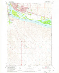 1973 Pierre1976 Print · USGSThe South Dakota capital and Fort Pierre are captured here in the early seventies, flanking the Missouri River at its junction with the Bad River. Genealogists and local historians can trace civic landmarks like the Capitol, the Pierre Indian Sch, and the Riverside Cemetery amidst the river islands and rail lines.
 - 1973 Map of Oahe Dam, 1976 Print
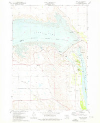 1973 Oahe Dam1976 Print · USGSStanley and Hughes counties were transformed in the early seventies by the massive Missouri River reservoirs created by the Oahe Dam. Researchers can trace the submerged river boundary and find local landmarks like the Scotty Philip Cem, the Old RR Grade, and Singleton Landing Field.
 - 1986 Map of Pierre
 1986 Pierre1986 Print · USGSCentral South Dakota comes into focus during the mid-eighties as the Missouri River reservoirs reshape the landscape around the state capital. Genealogists and historians can trace rail stops along the Chicago and North Western and locate landmarks like the Old Indian Treaty Boundary and Medicine Knoll.2 unique versions available
 - 2012 Map of Oahe Dam, 2012 Print
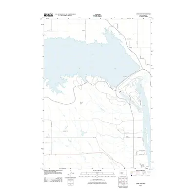 2012 Oahe Dam2012 Print · USGSThe Missouri River landscape of Stanley County is captured here in the early twenty-first century, dominated by the massive Oahe Dam and its reservoirs. Researchers can locate the Scotty Philip Cem or trace rural routes across Giddings Flat and the slopes of Brown Hill.
 - 2012 Map of Pierre SW, 2012 Print
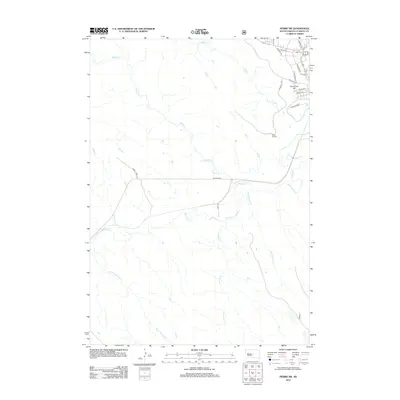 2012 Pierre SW2012 Print · USGSStanley County ranchlands and the outskirts of Fort Pierre are captured in this early twenty-first-century survey. Genealogists and local historians can trace the topography around Cedar Hill Cem or follow the winding course of the Bad River and Yellow Shoulder Cr.
 - 2012 Map of Pierre NE, 2012 Print
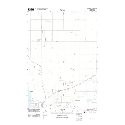 2012 Pierre NE2012 Print · USGSPierre and the high Missouri bluffs are shown in this modern era as suburban growth reaches toward the historic Snake Butte. Researchers can trace the development of neighborhood grids near the Pierre Regional Airport and locate sites like Calvary Cem.
 - 2012 Map of Pierre, 2012 Print
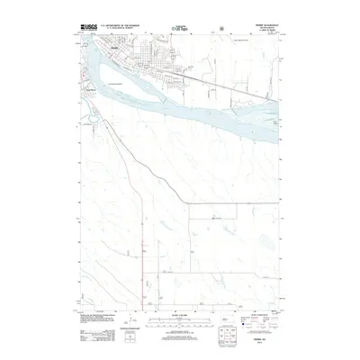 2012 Pierre2012 Print · USGSThe Missouri River corridor at the state capital is captured in the early 21st century, showing the urban development of Pierre and Fort Pierre. Genealogists and local historians can trace modern street layouts near Riverside Cem and the riverfronts of La Framboise Island.
 - 2015 Map of Pierre SW, 2015 Print
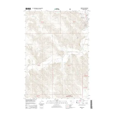 2015 Pierre SW2015 Print · USGSFort Pierre and the surrounding Stanley County prairie are captured here in the mid-2010s, showing the town's expansion toward the Bad River. Genealogists and historians can trace the landscape near Verendrye Hill, the local Cem, and the vast Ft. Pierre National Grassland.
 - 2015 Map of Pierre, 2015 Print
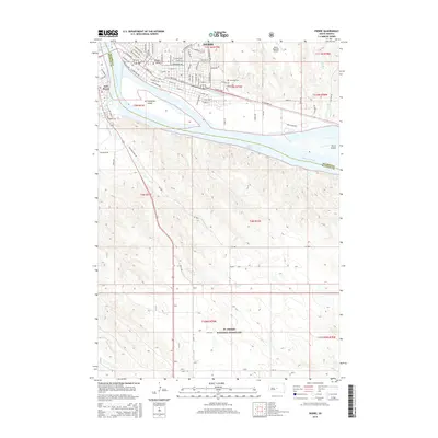 2015 Pierre2015 Print · USGSThe South Dakota capital and its sister city, Fort Pierre, are captured here at the Missouri River's bend. Researchers can trace the river islands of La Framboise Island and Farm Island, or locate graves at Riverside Cem and the expanse of the Ft. Pierre National Grassland.
 - 2015 Map of Oahe Dam, 2015 Print
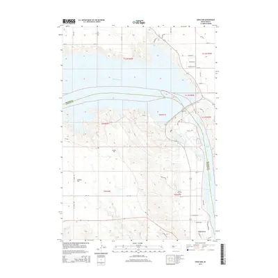 2015 Oahe Dam2015 Print · USGSThe Missouri River is transformed by massive mid-century infrastructure in this portrait of central South Dakota. Genealogists and historians can locate Scotty Philip Cem and trace local routes like Ft Chouteau Rd near the legendary Oahe Dam.
 - 2015 Map of Pierre NE, 2015 Print
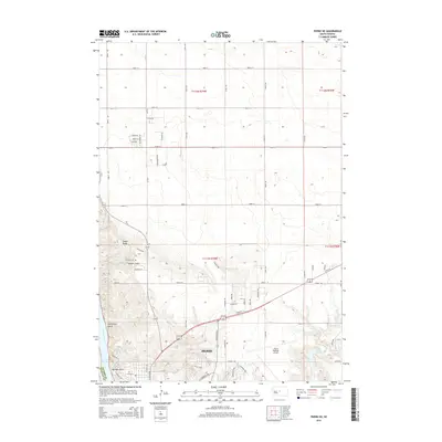 2015 Pierre NE2015 Print · USGSThe South Dakota state capital is shown here in the mid-2010s as it overlooks the Missouri River and its rugged bluff system. Researchers can trace local landmarks like Calvary Cem, the Pierre Regional Airport, and the high point of Snake Butte.
 - 2017 Map of Pierre, 2017 Print
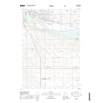 2017 Pierre2017 Print · USGSThe South Dakota capital and neighboring Fort Pierre are shown here as they appeared recently along the Missouri River. Trace the layout of modern neighborhoods, explore the Fort Pierre National Grassland, or locate the Riverside Cem.
 - 2017 Map of Oahe Dam, 2017 Print
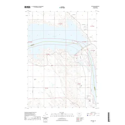 2017 Oahe Dam2017 Print · USGSThe Missouri River valley at Fort Pierre is transformed by mid-century engineering in this modern survey. Genealogists and historians can locate the Scotty Philip Cem, the massive Oahe Dam, and early routes like Ft Chouteau Rd.
 - 2017 Map of Pierre SW, 2017 Print
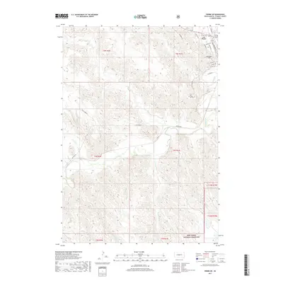 2017 Pierre SW2017 Print · USGSFort Pierre and the surrounding Stanley County plains are captured here in the early twenty-first century as the Missouri River landscape continues to evolve. Researchers can trace the town's street-level detail, the location of Cedar Hill Cem, and the sprawling Fort Pierre National Grassland.
 - 2017 Map of Pierre NE, 2017 Print
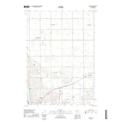 2017 Pierre NE2017 Print · USGSPierre and the Missouri River waterfront are captured here in 2017, showing the state capital's northern expansion. Genealogists and local historians can trace landmarks like Calvary Cem and geographic features such as Snake Butte and Hilgers Gulch.
 - 2021 Map of Pierre SW, 2021 Print
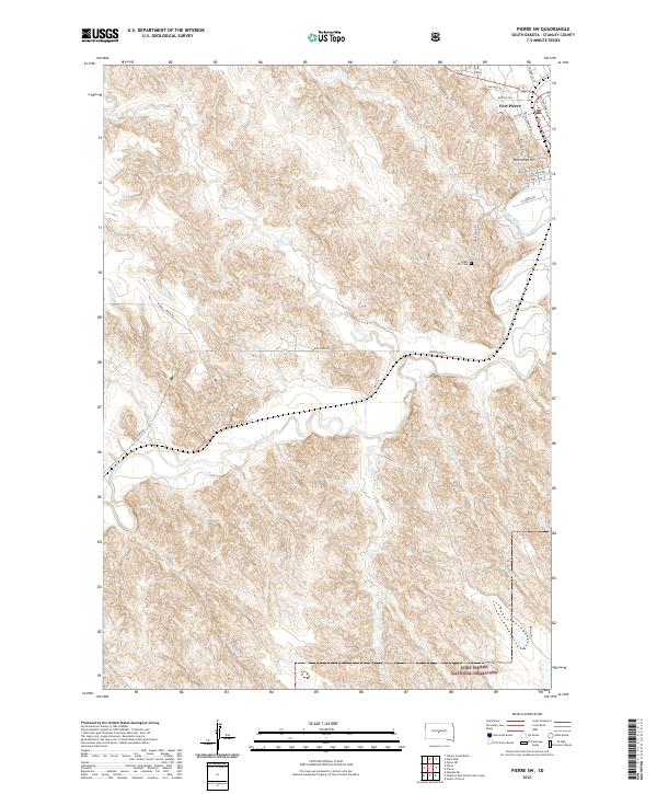 2021 Pierre SW2021 Print · USGSFort Pierre at the start of the 2020s shows a unique mix of modern city planning and protected prairie wilderness. Researchers can trace the town's street grid out to Verendrye Hill or follow the Bad River toward the Fort Pierre National Grassland.
 - 2021 Map of Pierre NE, 2021 Print
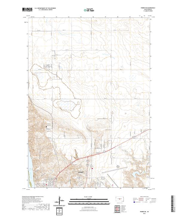 2021 Pierre NE2021 Print · USGSPierre and the bluffs of the Missouri River are captured in the early twenty-first century as the state capital expands northward. Researchers can trace the modern footprint of Pierre Regional Airport and the location of Calvary Cem near the slopes of Snake Butte.
 - 2021 Map of Pierre, 2021 Print
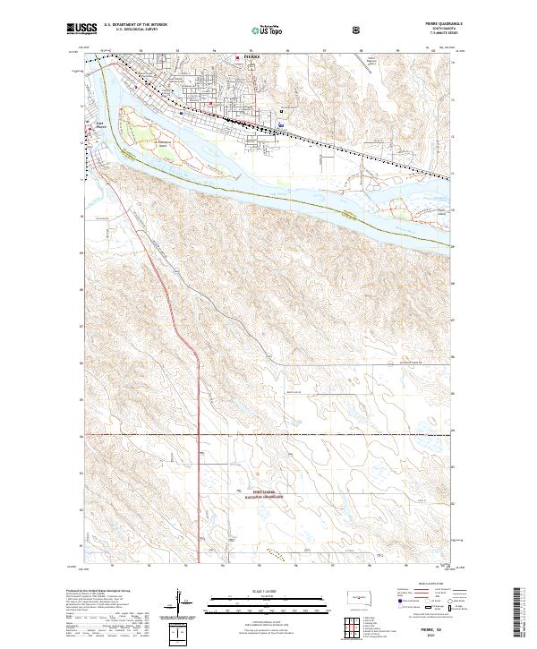 2021 Pierre2021 Print · USGSThe state capital at Pierre and neighboring Fort Pierre are shown here as they appeared in the early 2020s. Researchers can trace civic landmarks like the South Dakota Supreme Court or the natural terrain of La Framboise Island and the Fort Pierre National Grassland.
 - 2021 Map of Oahe Dam, 2021 Print
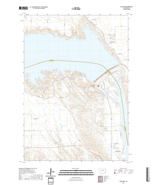 2021 Oahe Dam2021 Print · USGSStanley County at the Missouri River showcases the monumental engineering of the late twentieth century. Researchers can trace the river's edge from Fort Pierre past Oahe Dam to rural landmarks like the Scotty Philip Cem.
End of results
Showing maps 1-24 of 24
Top cities near Fort Pierre
Frequently asked questions
- What are the different types of historical maps available for Fort Pierre?
- What is the oldest map of Fort Pierre?
- Where can I purchase historical maps of Fort Pierre for my home or office?
- Where can I download high-res historical maps of Fort Pierre?
- Are there historical topographic maps available for Fort Pierre?
- Is there historical aerial imagery available for Fort Pierre?
- Where are historical maps of Fort Pierre sourced from?