2000s (21st Century) Maps of Bailey County, Texas
Explore 125 historic maps of Bailey County from the 2000s (21st Century). These maps offer a rare glimpse into what life looked like during the 2000s — showing old roads, neighborhoods, homes, and landmarks that have changed or disappeared over time.
Whether you're researching your family's past, planning a metal detecting trip, or studying how Bailey County's landscape evolved across the 2000s, these high-resolution maps are a powerful tool for exploring the history of this region.
- Focus on a specific era: All maps on this page are from the 2000s, giving you a focused view of this time period.
- See what’s changed: Compare century-old streets, trails, and buildings to today's modern landscape using overlays and satellite layers.
- Research with precision: Use these maps for genealogy, historical research, land use analysis, or educational projects.
- View, download, or print: Maps are fully viewable online in high resolution, and can be downloaded or printed for your own records.
Start exploring Bailey County's history through authentic maps from the 2000s. This is your window into the past.
Bailey County, TX maps
(125)- 2010 Map of Birdwell Ranch, 2010 Print
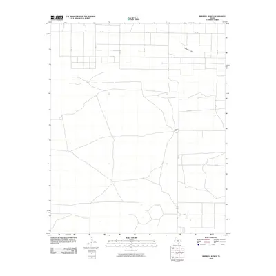 2010 Birdwell Ranch2010 Print · USGSBailey County ranching country is captured here during a period of modern agricultural stability. Genealogists and local historians can trace property boundaries and rural access points along FM 1731, Blackwater Draw, and the Birdwell Ranch estate.
 - 2010 Map of Lariat, 2010 Print
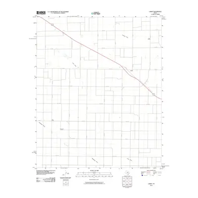 2010 Lariat2010 Print · USGSThe Texas Panhandle's agricultural heartland is captured here at the start of the 2010s, showing the intersection of rural life and transit. Genealogists and local historians can locate Lariat Cemetery, West Camp, and the courses of Blackwater Draw.
 - 2010 Map of Maple, 2010 Print
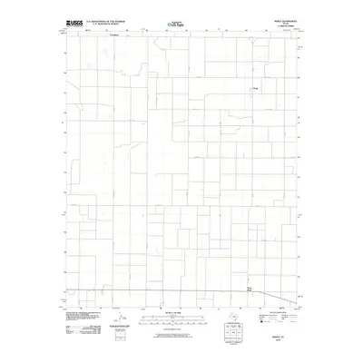 2010 Maple2010 Print · USGSBailey County agricultural life is captured here during the early twenty-first century, showing the organized grid of West Texas farm roads. Genealogists and local historians can trace rural property locations near Maple, Goodland, and the settlement at Neely Ward.
 - 2010 Map of Lazbuddie SE, 2010 Print
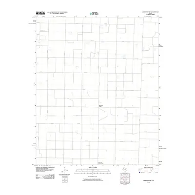 2010 Lazbuddie SE2010 Print · USGSPleasant Valley and the surrounding Lamb County farmlands are captured in the early twenty-first century, showing the enduring grid of the High Plains. Researchers can locate the Pleasant Valley Community House and trace the rural routes of FM 303 and FM 2910.
 - 2010 Map of Enochs, 2010 Print
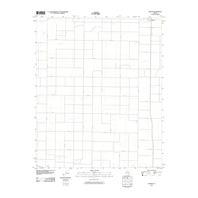 2010 Enochs2010 Print · USGSThe rural expanse of Bailey County is captured here in the early twenty-first century, showing the systematic grid of the West Texas plains. Researchers can trace local routes and homestead access along CO RD 1314 and CO RD 24 near the community of Enochs.
 - 2010 Map of Muleshoe, 2010 Print
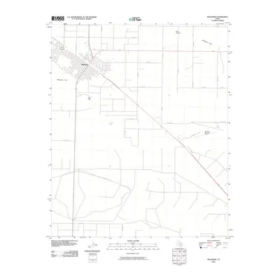 2010 Muleshoe2010 Print · USGSThe High Plains community of Muleshoe is captured here during its modern development, centered where the highway meets Blackwater Draw. Genealogists and researchers can trace local infrastructure from the Muleshoe Municipal Airport to rural routes like Coop Gin Rd.
 - 2010 Map of Needmore, 2010 Print
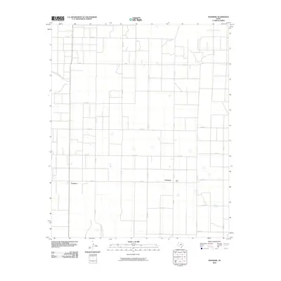 2010 Needmore2010 Print · USGSBailey County's agricultural heartland is documented here in the early 2000s, showing a landscape defined by its grid of rural roads and remote outposts. Researchers can trace the area's local history through settlements like Needmore and Circle Back along FM 298.
 - 2010 Map of Muleshoe NE, 2010 Print
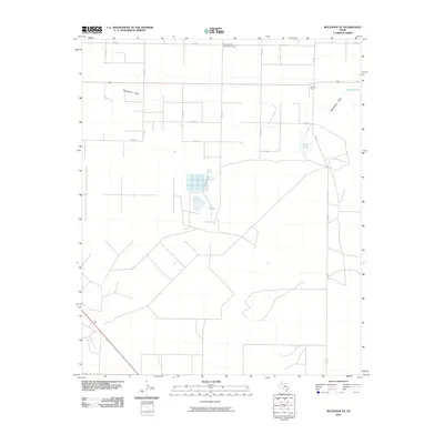 2010 Muleshoe NE2010 Print · USGSLamb County's agricultural heartland is captured here in the early twenty-first century, showing a landscape of high plains farming and drainage basins. Researchers can trace rural life through landmarks like Pleasant Valley Community House, the industrial Nickels Gin, and the waters of Soda Lake.
 - 2010 Map of Baileyboro, 2010 Print
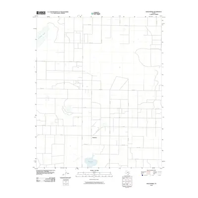 2010 Baileyboro2010 Print · USGSBaileyboro and the surrounding High Plains are depicted at the start of the decade, showing a landscape shaped by a precise agricultural grid. Researchers can trace the rural road network connecting Coyote Lake to the small settlement of Baileyboro.
 - 2010 Map of Bula, 2010 Print
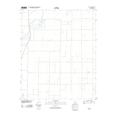 2010 Bula2010 Print · USGSThe West Texas high plains around the settlement of Bula are captured here during a period of modern ranching and farming. Researchers can trace the section-line roads and natural water features such as Upper Pauls Lake and Yellow House Draw.
 - 2010 Map of Beck, 2010 Print
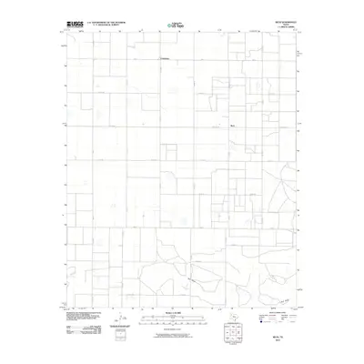 2010 Beck2010 Print · USGSLamb County farming communities are captured here in the early twenty-first century. Researchers can trace the rural road network and section lines surrounding Friendship, Beck, and the seasonal drainage of Bull Draw.
 - 2010 Map of County Line, 2010 Print
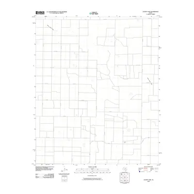 2010 County Line2010 Print · USGSTexas high plains agriculture and rural life take center stage in this 2010 study of Bailey County. Researchers can trace the section-line roads and drainage patterns of Yellow House Draw near the remote crossroads of County Line.
 - 2010 Map of Pep, 2010 Print
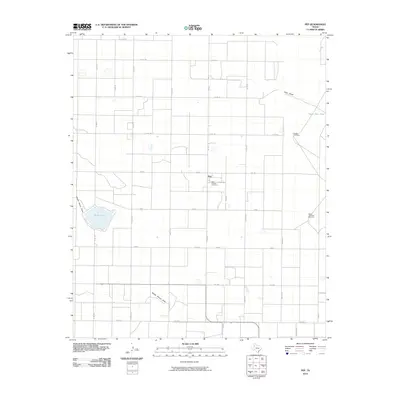 2010 Pep2010 Print · USGSHockley County at the start of the twenty-first century reveals a highly structured agricultural landscape centered on the community of Pep. Researchers can trace the legacy of local families at Saint Phillips Cemetery and locate water sources like Silver Lake and the Double Windmills.
 - 2010 Map of Stegall, 2010 Print
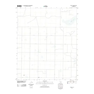 2010 Stegall2010 Print · USGSThe West Texas plains around Bailey County are captured here in the early twenty-first century, showing a landscape of structured ranch roads and ephemeral basins. Genealogists and local historians can trace the rural layout of Stegall and identify landmarks like Williams Field and Coyote Lake.
 - 2010 Map of Upper White Lake, 2010 Print
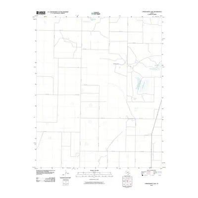 2010 Upper White Lake2010 Print · USGSBailey County, Texas, reveals its High Plains character in this early twenty-first-century survey. Trace the local water-management landscape and rural road network through features like Jack Young Dam, Baileyboro Lake, and the shoreline of Upper White Lake.
 - 2010 Map of Progress, 2010 Print
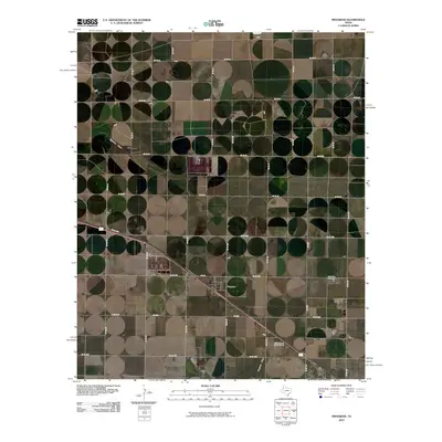 2010 Progress2010 Print · USGSProgress and the surrounding Bailey County plains are depicted here in the early twenty-first century as a landscape of grid-pattern farming. Researchers can locate Muleshoe Cemetery, the Bailey County Memorial Park, and the diagonal path of Progress Draw.
 - 2010 Map of Sudan, 2010 Print
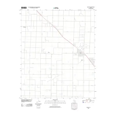 2010 Sudan2010 Print · USGSThe community of Sudan stands at the center of this 2010 Lamb County survey, where agricultural land is precisely gridded by rural roads. Genealogists and historians can trace the area's infrastructure through the Sudan Cemetery, Fairview, and the Sudan Airport.
 - 2010 Map of Lazbuddie SW, 2010 Print
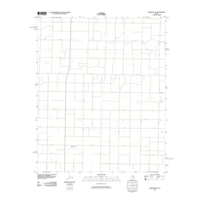 2010 Lazbuddie SW2010 Print · USGSBailey County agricultural lands are captured here during the first decade of the millennium, showing a precise grid of section-line roads. Researchers can locate family landmarks like Locker Brothers Airport and trace transit routes along FM 3269 and 8 Th St.
 - 2010 Map of Three Way School, 2010 Print
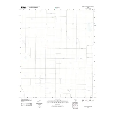 2010 Three Way School2010 Print · USGSIn the early twenty-first century, this portion of the Texas Panhandle remained a dedicated agricultural landscape defined by its grid of section roads. Researchers can trace the layout of rural farmsteads and schools like Three Way School along FM 1731 and Co Rd 1264.
 - 2010 Map of Baileyboro NE, 2010 Print
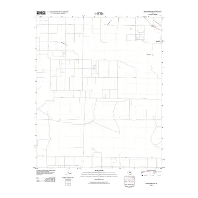 2010 Baileyboro NE2010 Print · USGSMuleshoe sits at the edge of this West Texas landscape in the early 2000s, where the rural road grid meets the ephemeral flow of the plains. Trace the local geography along Railroad Ave and the intersection of Co Rd 1033 and Progress Draw.
 - 2010 Map of Golden Ranch, 2010 Print
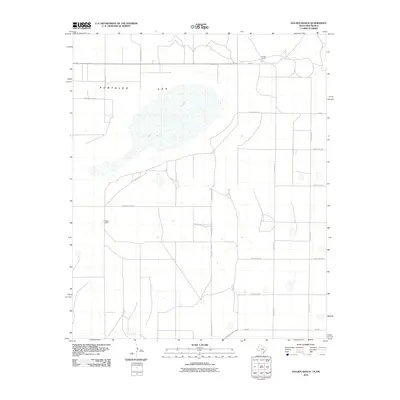 2010 Golden Ranch2010 Print · USGSHigh plains ranching life in Roosevelt County is captured here during the early twenty-first century. Genealogists and local historians can trace the property boundaries of Golden Ranch and Nickles Ranch surrounding the prominent Salt Lake.
 - 2010 Map of Lingo, 2010 Print
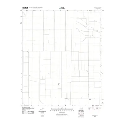 2010 Lingo2010 Print · USGSThe rural borderlands of eastern New Mexico come to life in this survey of the High Plains ranching country. Researchers can trace the grid of section roads to the settlement of Lingo or locate the landmark of Buffalo Soldier Hill.
 - 2010 Map of Causey East, 2010 Print
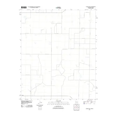 2010 Causey East2010 Print · USGSEastern New Mexico's ranching country is captured here during the first decade of the millennium. Genealogists and local historians can trace the rural grid and property boundaries extending from Causey along Ranch Road 54 and County Rd-11.
 - 2010 Map of Pleasure Lake, 2010 Print
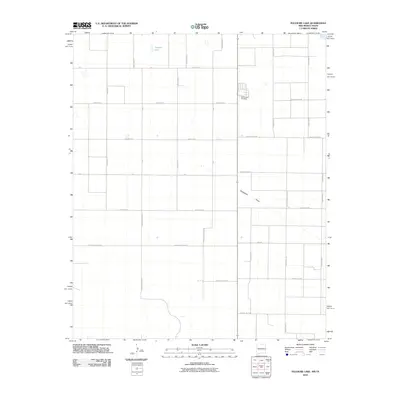 2010 Pleasure Lake2010 Print · USGSThis high plains landscape in eastern New Mexico was captured just as the century turned its first decade, showing a vast grid of rural section-line roads. Trace family roots and local history at the Old Farwell Cemetery or locate natural landmarks like Pleasure Lake and Blackwater Draw.
 - 2010 Map of Arch NE, 2010 Print
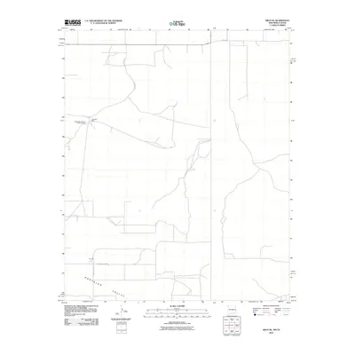 2010 Arch NE2010 Print · USGSThe High Plains of the Texas-New Mexico border are captured here in the early twenty-first century, showing a landscape of vast cattle operations and rural homesteads. Researchers can trace the layout of the Blackwater Land and Cattle Company and the settlement at Purchell.
Showing maps 1-25 of 125
Top cities of Bailey County
Frequently asked questions
- What are the different types of historical maps available for Bailey County?
- What is the oldest map of Bailey County?
- Where can I purchase historical maps of Bailey County for my home or office?
- Where can I download high-res historical maps of Bailey County?
- Are there historical topographic maps available for Bailey County?
- Is there historical aerial imagery available for Bailey County?
- Where are historical maps of Bailey County sourced from?