2020s Maps of Bell County, Texas
Explore 29 historic maps of Bell County from the 2020s. These maps offer a rare glimpse into what life looked like during the 2020s — showing old roads, neighborhoods, homes, and landmarks that have changed or disappeared over time.
Whether you're researching your family's past, planning a metal detecting trip, or studying how Bell County's landscape evolved across the 2020s, these high-resolution maps are a powerful tool for exploring the history of this region.
- Focus on a specific era: All maps on this page are from the 2020s, giving you a focused view of this time period.
- See what’s changed: Compare century-old streets, trails, and buildings to today's modern landscape using overlays and satellite layers.
- Research with precision: Use these maps for genealogy, historical research, land use analysis, or educational projects.
- View, download, or print: Maps are fully viewable online in high resolution, and can be downloaded or printed for your own records.
Start exploring Bell County's history through authentic maps from the 2020s. This is your window into the past.
Bell County, TX maps
(29)- 2022 Map of Fort Hood, 2022 Print
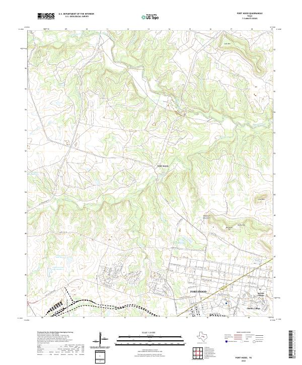 2022 Fort Hood2022 Print · USGSFort Hood and the surrounding hills of Central Texas are documented in this recent survey, showing the military installation's residential and operational layout. Genealogists and historians can trace the streets of McNair Village, the waters of Lake Henry, and landmarks like Blackwell Mountains.
 - 2022 Map of McMillan Mountains, 2022 Print
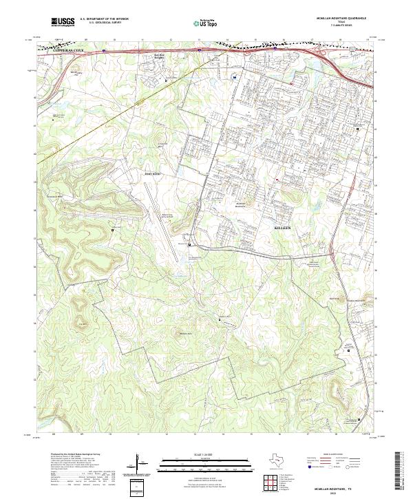 2022 McMillan Mountains2022 Print · USGSThe Bell County and Coryell County borderlands are shown here in the early twenty-first century, as residential growth expands near major institutions. Researchers can trace local history through sites like Mayberry Cem, Sibley Cem, and the massive Robert Gray Army Airfield.
 - 2022 Map of Belfalls, 2022 Print
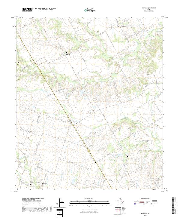 2022 Belfalls2022 Print · USGSThe rural border of Falls and Bell Counties in the 2020s remains a landscape of quiet hamlets and scattered family cemeteries. Genealogists can trace deep roots through locations like Belfalls Cem, Cego, and Old Oenaville Cem.
 - 2022 Map of Seaton, 2022 Print
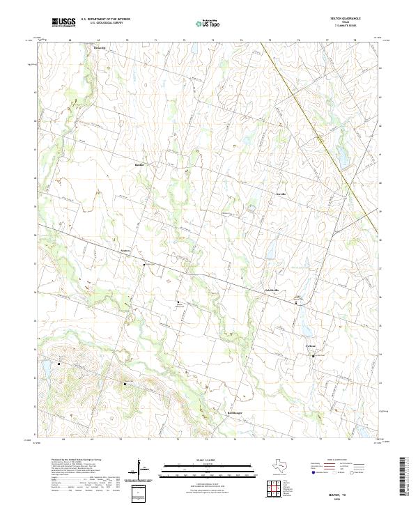 2022 Seaton2022 Print · USGSBell County agriculture and rural life are front and center in this modern survey of the communities east of Temple. Researchers can locate family heritage sites including Ocker Brethren Church Cem, the Leiskar Family Cem, and the small settlement of Zabcikville.
 - 2022 Map of Temple, 2022 Print
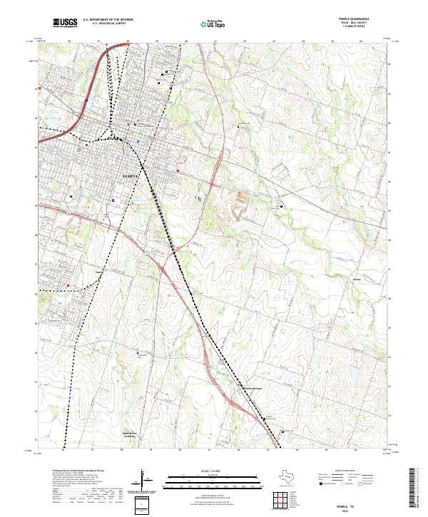 2022 Temple2022 Print · USGSModern Temple and the surrounding rural communities are captured here in a period of steady growth. Researchers can trace family history through numerous burial grounds like Hillcrest Cem or locate community centers like Temple College and Antioch Church Cem.
 - 2022 Map of Westphalia, 2022 Print
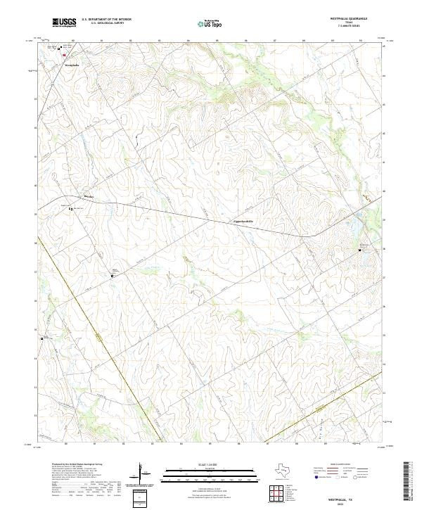 2022 Westphalia2022 Print · USGSFalls County's rural heartland is preserved here in the early twenty-first century, showing a landscape of traditional Texas farming communities. Genealogists can trace family roots at numerous local burial sites including Salem Lutheran Cem, Barclay Cem, and Saint Joseph Cem.
 - 2022 Map of Copperas Cove, 2022 Print
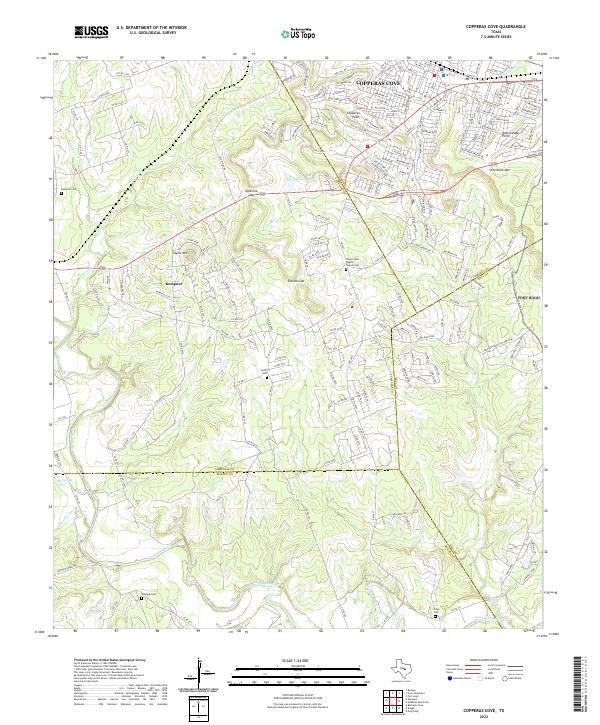 2022 Copperas Cove2022 Print · USGSCopperas Cove and Kempner are shown in the early twenty-first century at the intersection of four Texas counties. Researchers can trace rural lineages through family-named landmarks like Smith Cem, Tobey Cem, and the historic Clear Creek Baptist Church.
 - 2022 Map of Troy, 2022 Print
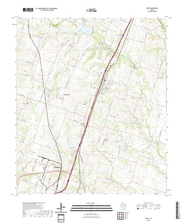 2022 Troy2022 Print · USGSBell County, Texas, transitions from the northern edge of Temple into the rural reaches of Pendleton and Troy in this 2022 survey. Genealogists and local historians can locate several historic burial sites, including Ramirez Cem and the Temple/Mount Zion Garden of Memories Cem.
 - 2022 Map of Leon Junction, 2022 Print
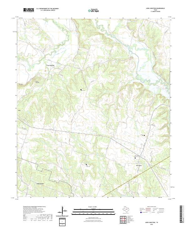 2022 Leon Junction2022 Print · USGSCoryell and Bell Counties are depicted in this recent survey, showing the rural Texas landscape where the Leon River meets the local peaks. Genealogists can locate several historic burial sites, including Saint Pauls Lutheran Cem and Graham Cem, near the quiet communities of The Grove and Leon Junction.
 - 2022 Map of Killeen, 2022 Print
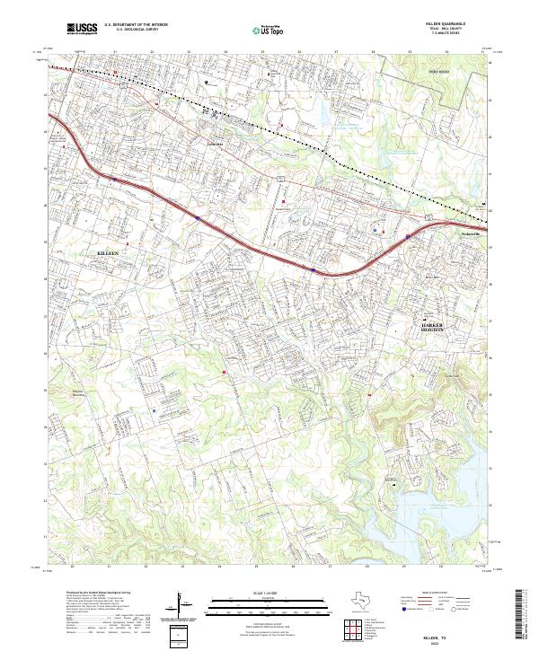 2022 Killeen2022 Print · USGSBell County shows its modern suburban expansion and varied terrain in this contemporary 2022 survey. Genealogists and local historians can trace family sites like Herrington Family Cem or navigate landmarks from Skylark Field to Stillhouse Hollow Lake.
 - 2022 Map of Eagle Springs, 2022 Print
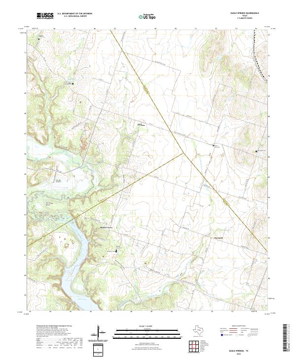 2022 Eagle Springs2022 Print · USGSThe Leon River valley south of Mother Neff State Park is captured here at a time when small agricultural communities and historic cemeteries still define the landscape. Genealogists can trace family sites at Eagle Springs Cem, Mount Zion Cem, and the settlement at Whitson.
 - 2022 Map of Bland, 2022 Print
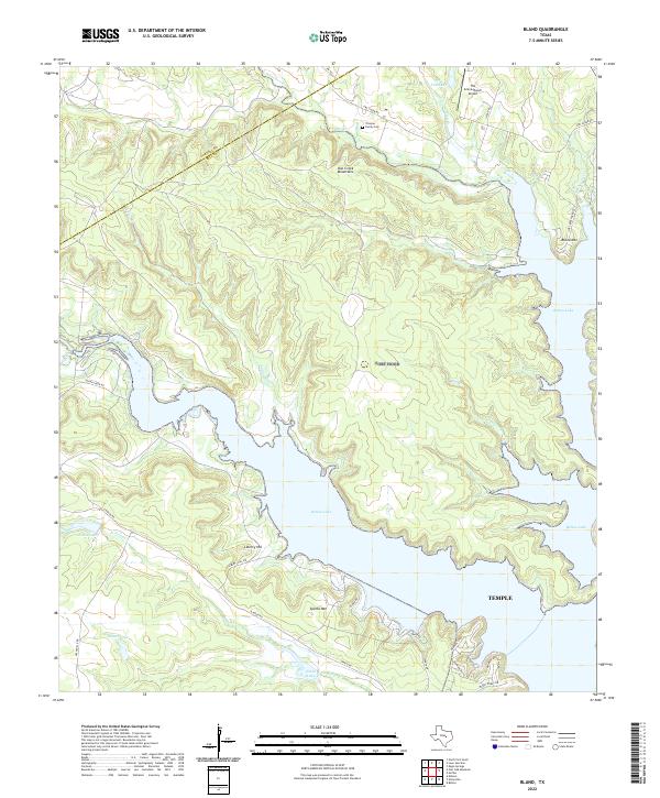 2022 Bland2022 Print · USGSNorth of the city of Temple in the early 2020s, the landscape is defined by the expansive reaches of Belton Lake and the Owl Creek Mountains. Genealogists and local researchers can locate the Trimmer Family Cem and trace old routes like Sparta Rd near the prominent heights of Bland Mtn.
 - 2022 Map of Post Oak Mountain, 2022 Print
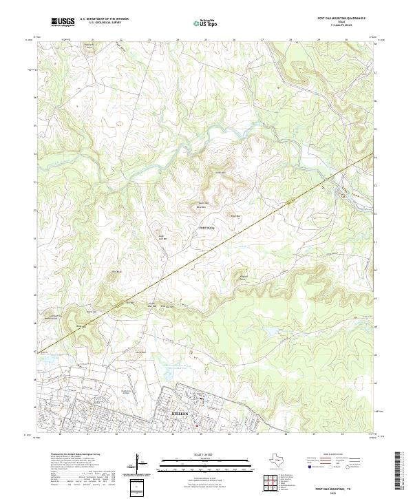 2022 Post Oak Mountain2022 Print · USGSThe northern reaches of the Killeen area come into focus during the early twenty-first century, showing the intersection of military training grounds and urban growth. Researchers can locate Blackburn Cem and trace the complex terrain of Post Oak Mtn and Sugar Loaf Mtn.
 - 2022 Map of Nolanville, 2022 Print
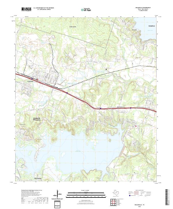 2022 Nolanville2022 Print · USGSBell County in the early twenty-first century reveals a landscape defined by rapid suburban growth and massive water projects. Trace the modern boundaries of Nolanville and Belton alongside older landmarks like Comanche Gap and Proctor Cem.
 - 2022 Map of Moody, 2022 Print
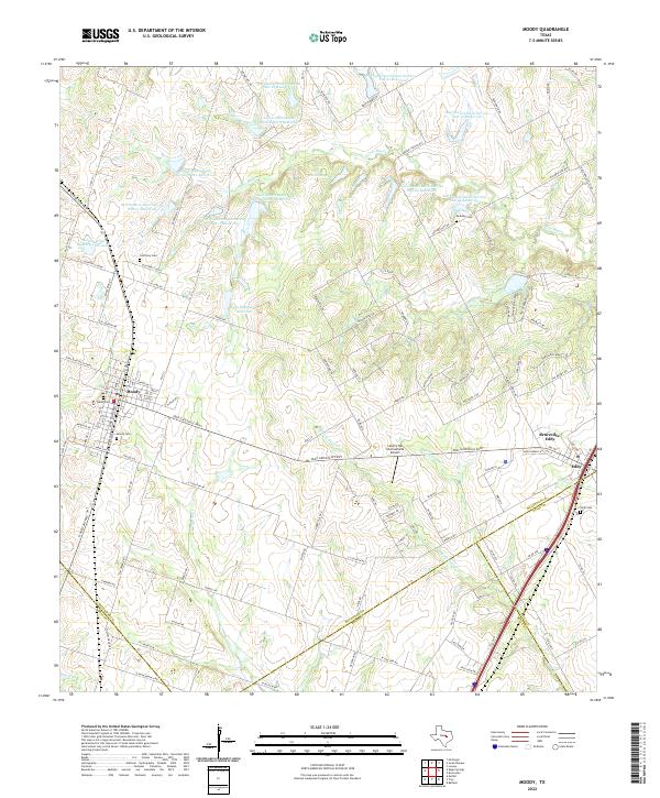 2022 Moody2022 Print · USGSThe McLennan County countryside near the Bell and Falls County lines is revealed here in the 2020s. Researchers can locate family landmarks such as Old Perry Cem, Naler Cem, and the expansive John M Brinegar Reservoir.
 - 2022 Map of Belton, 2022 Print
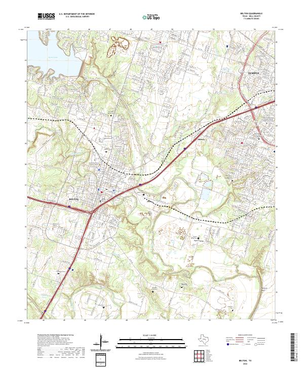 2022 Belton2022 Print · USGSBell County at the start of the 2020s shows the continued growth of Belton and Temple along their shared river corridors. Family historians can locate numerous burial sites such as North Belton Cem and the rural Mesquite Grove Cem.
 - 2022 Map of Moffat, 2022 Print
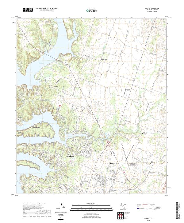 2022 Moffat2022 Print · USGSBell County’s lakefront and agricultural lands are shown here in the early twenty-first century as suburban growth meets long-standing rural communities. Genealogists can locate several local burial grounds including White Hall Cem, Moffat Cem, and the Jones Family Cem.
 - 2022 Map of Bartlett, 2022 Print
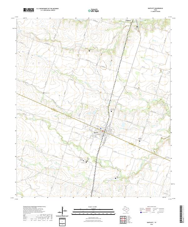 2022 Bartlett2022 Print · USGSThe Bell and Williamson County line divides this Central Texas landscape during a period of modern agricultural continuity. Genealogists can trace deep local roots through a significant cluster of burial sites, including the Czech National Cem, Old Black Cem, and German Methodist Cem.
 - 2022 Map of Yarrelton, 2022 Print
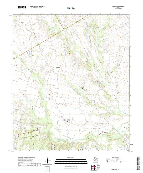 2022 Yarrelton2022 Print · USGSThe rural expanse between Yarrelton and Buckholts comes into focus during this early twenty-first-century survey of the Milam County countryside. Genealogists can trace family heritage through local landmarks like Saints Cyril and Methodius Church Cem and the North Elm Cem.
 - 2022 Map of Rogers, 2022 Print
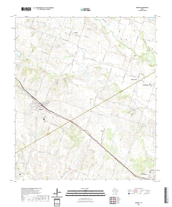 2022 Rogers2022 Print · USGSRogers and Buckholts anchor this 2022 survey of the Bell and Milam county line during a period of steady rural continuity. Genealogists can locate family sites at Rogers Cem West, South Elm Cem, and Hope Lutheran Memorial Park.
 - 2022 Map of Holland, 2022 Print
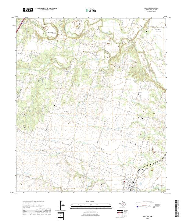 2022 Holland2022 Print · USGSBell County agriculture and river valleys come into focus in the early 2020s near the town of Holland. Genealogists can trace numerous local burial sites including Bell Plains Cem, Center Lake Cem, and the Holland Family Cem along the winding Salado Creek.
 - 2022 Map of Salado, 2022 Print
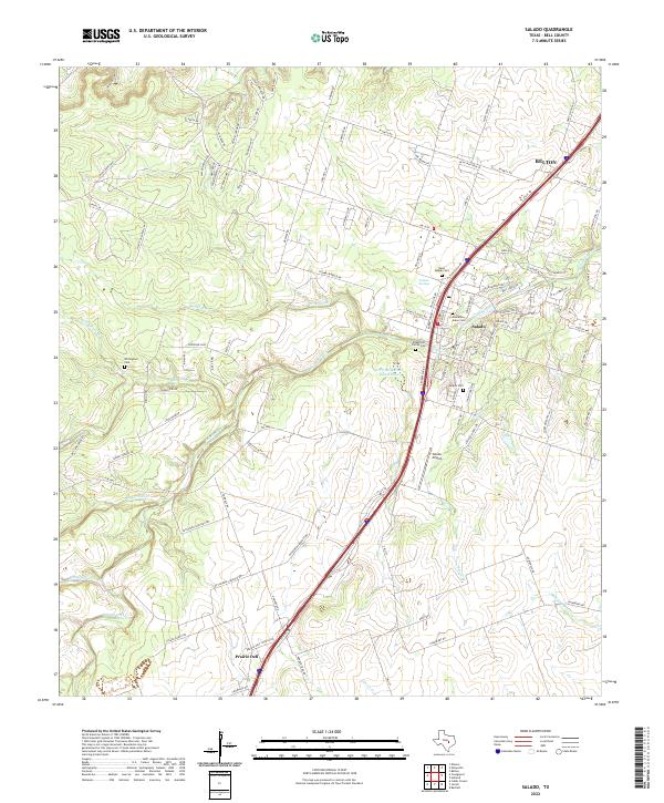 2022 Salado2022 Print · USGSSalado and the surrounding Bell County countryside are captured here in the early twenty-first century as the area maintains its local heritage. Genealogists and researchers can trace family landmarks like the Hamblen-Aiken Cem, Salado Springs, and the community of Prairie Dell.
 - 2022 Map of Briggs, 2022 Print
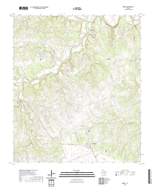 2022 Briggs2022 Print · USGSThe rural borderlands of Burnet and Bell counties come into focus in the early twenty-first century, centered on the ranching communities of Briggs and Oakalla. Genealogists can trace family heritage through several localized burial grounds, including Dillingham Cem, Smith Cem, and Mount Moriah Cem.
 - 2022 Map of Davilla, 2022 Print
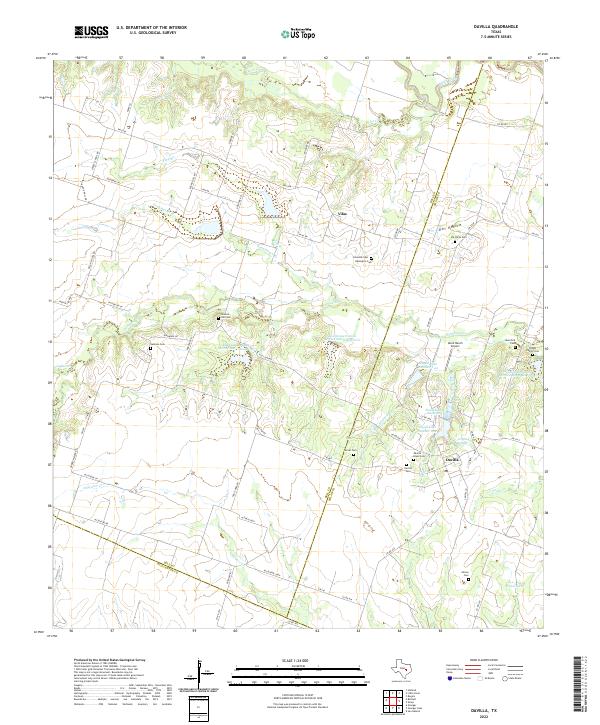 2022 Davilla2022 Print · USGSThe rural borderlands of Bell and Milam counties are captured here in the early 2020s, showing a landscape defined by farming and family heritage. Researchers can locate numerous burial grounds including Davilla Black Cem, Jackson Cem, and the Pruett Family Cem.
 - 2022 Map of Ding Dong, 2022 Print
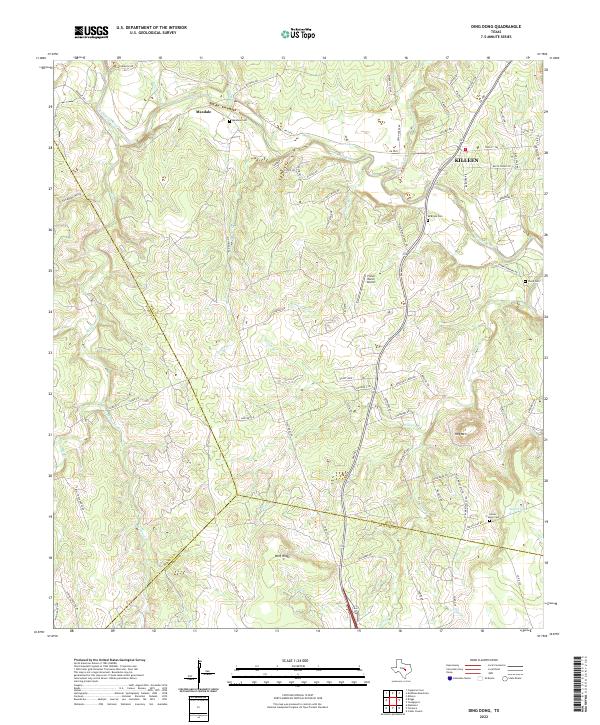 2022 Ding Dong2022 Print · USGSThe Lampasas River valley in Bell County comes into focus during this era of rural transition. Genealogists and historians can trace family roots through several local landmarks like Maxdale Cem, Mcbryde Cem, and the settlement at Maxdale.
Showing maps 1-25 of 29
Top cities of Bell County
- Killeen historical maps
- Temple historical maps
- Harker Heights historical maps
- Belton historical maps
- Nolanville historical maps
- Troy historical maps
See more
Frequently asked questions
- What are the different types of historical maps available for Bell County?
- What is the oldest map of Bell County?
- Where can I purchase historical maps of Bell County for my home or office?
- Where can I download high-res historical maps of Bell County?
- Are there historical topographic maps available for Bell County?
- Is there historical aerial imagery available for Bell County?
- Where are historical maps of Bell County sourced from?