2000s (21st Century) Maps of Bell County, Texas
Explore 145 historic maps of Bell County from the 2000s (21st Century). These maps offer a rare glimpse into what life looked like during the 2000s — showing old roads, neighborhoods, homes, and landmarks that have changed or disappeared over time.
Whether you're researching your family's past, planning a metal detecting trip, or studying how Bell County's landscape evolved across the 2000s, these high-resolution maps are a powerful tool for exploring the history of this region.
- Focus on a specific era: All maps on this page are from the 2000s, giving you a focused view of this time period.
- See what’s changed: Compare century-old streets, trails, and buildings to today's modern landscape using overlays and satellite layers.
- Research with precision: Use these maps for genealogy, historical research, land use analysis, or educational projects.
- View, download, or print: Maps are fully viewable online in high resolution, and can be downloaded or printed for your own records.
Start exploring Bell County's history through authentic maps from the 2000s. This is your window into the past.
Bell County, TX maps
(145)- 2010 Map of Leon Junction, 2010 Print
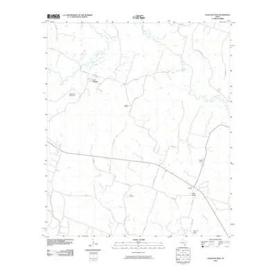 2010 Leon Junction2010 Print · USGSCoryell County is captured here in the early twenty-first century, showing a rural landscape defined by the winding Leon River. Genealogists and local historians can locate several burial sites like Seaton Cemetery and King Cemetery or trace the roads surrounding The Grove.
 - 2010 Map of Eagle Springs, 2010 Print
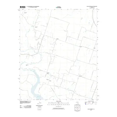 2010 Eagle Springs2010 Print · USGSThe Leon River valley near Whitson and Eagle Springs is shown here just over a decade ago. Genealogists can locate numerous local landmarks like Moody-Leon Cemetery, Alexander Cemetery, and the community of Stampede.
 - 2010 Map of Moody, 2010 Print
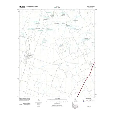 2010 Moody2010 Print · USGSSettlement in the central Texas prairies centered on Moody and Bruceville-Eddy at the start of the 21st century. Researchers can trace land management patterns through dozens of reservoirs and find family roots at Naler Cemetery or Perry Cemetery.
 - 2010 Map of Briggs, 2010 Print
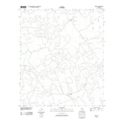 2010 Briggs2010 Print · USGSThis Burnet County landscape shows the rural ranching communities of Oakalla and Briggs as they appeared in the early twenty-first century. Researchers can trace family history at the Smith Cemetary or follow the waters of the Lampasas River and Mill Creek.
 - 2010 Map of Jarrell, 2010 Print
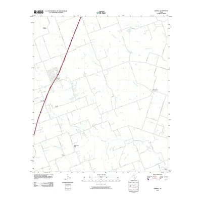 2010 Jarrell2010 Print · USGSNorth of Austin during the early 2010s, this area of Williamson County shows the enduring footprint of rural Texas settlements. Researchers can trace historical sites like the Corn Hill Cemetery, the community of Schwertner, and family-named routes such as Solana Ranch Rd.
 - 2010 Map of Bland, 2010 Print
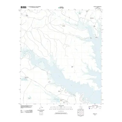 2010 Bland2010 Print · USGSCentral Texas during the first decade of the new millennium reveals a landscape defined by the expansive Belton Lake. Trace the hills and drainages near Bland and Cold Springs, or locate landmarks like the Camp Arrowhead Boy Scout Camp and private ranch airports.
 - 2010 Map of Cobbs Cavern, 2010 Print
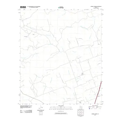 2010 Cobbs Cavern2010 Print · USGSWilliamson County ranch land meets new residential growth in the early twenty-first century as the countryside begins to subdivide. Researchers can trace family history at the Land Cemetery or locate landmarks like Sybert Farm Airport and Schoolhouse Hollow.
 - 2010 Map of Ding Dong, 2010 Print
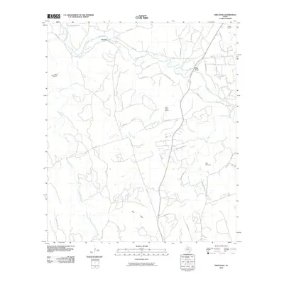 2010 Ding Dong2010 Print · USGSBell County ranch lands and river bends are captured here during a period of steady rural growth. Researchers can trace family-named landmarks like Tom Adams Hollow, find the curiously named Ding Dong, and locate local airstrips like Fisher Ranch Airport.
 - 2010 Map of Salado, 2010 Print
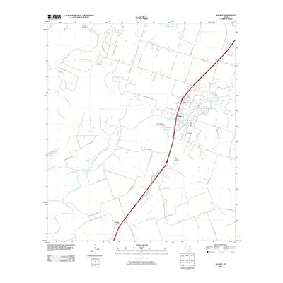 2010 Salado2010 Print · USGSBell County was undergoing significant suburban growth and modern development when this survey was completed. Local historians can trace the evolution of Salado and Prairie Dell through landmarks like the Salado Cemetery and the Salado Airport.
 - 2010 Map of Nolanville, 2010 Print
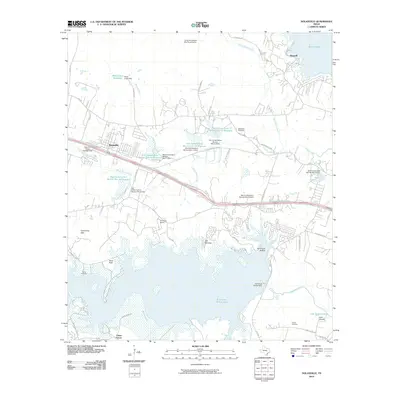 2010 Nolanville2010 Print · USGSBell County near Nolanville is shown here during a period of modern water management and community growth. Researchers can trace local heritage at McDowell Cemetery or explore the geography of Stillhouse Hollow Lake and the Lampasas River.
 - 2010 Map of Killeen, 2010 Print
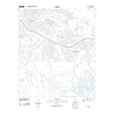 2010 Killeen2010 Print · USGSKilleen and Harker Heights are captured during a period of significant suburban growth in the early twenty-first century. Researchers can trace the development of residential neighborhoods around Killeen Municipal Airport and locate the City Cemetery or Cedar Gap.
 - 2010 Map of McMillan Mountains, 2010 Print
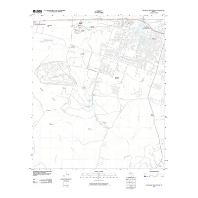 2010 McMillan Mountains2010 Print · USGSThe western outskirts of Killeen show a unique mix of military aviation and suburban growth during the early twenty-first century. Genealogists and historians can locate family burial sites like Sibley Cemetery and Mayberry Cemetery alongside Robert Gray Army Air Field.
 - 2010 Map of Westphalia, 2010 Print
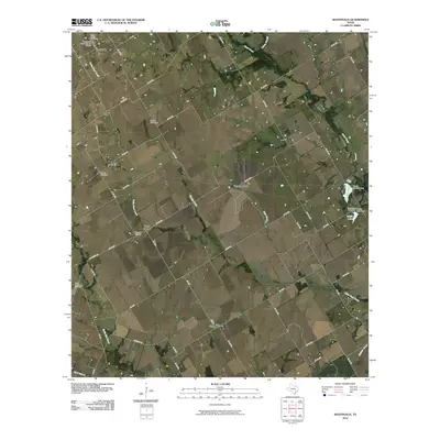 2010 Westphalia2010 Print · USGSFalls County is captured here in the early twenty-first century, showing a landscape defined by traditional rural settlements and family cemeteries. Genealogists can trace local heritage through the Westphalia Rural Historic District, Terry Chapel, and the Bluebonnet Cemetery.
 - 2010 Map of Davilla, 2010 Print
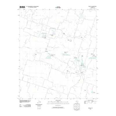 2010 Davilla2010 Print · USGSMilam County's rural landscape is captured here in the early twenty-first century, showcasing a transition from traditional farming to modern water conservation. Researchers can find several family and community landmarks, from Dripping Springs and Vilas to the Pruett Family Cemetery.
 - 2010 Map of Bartlett, 2010 Print
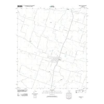 2010 Bartlett2010 Print · USGSBartlett and the surrounding Central Texas blacklands are shown here in the early twenty-first century as a landscape of family farms and creek-side settlements. Local historians can trace family roots through the Roucker Cemetery, Stockton Cemetery, and Bartlett Cemetery.
 - 2010 Map of Yarrelton, 2010 Print
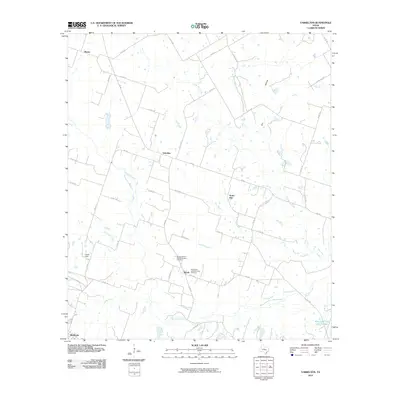 2010 Yarrelton2010 Print · USGSMilam County's rural heartland is captured here at the start of the decade, centered on the historic agricultural communities between Yarrelton and Buckholts. Genealogists can locate family sites near Marak or trace landmarks like the Saints Cyril and Methodius Cemetery.
 - 2010 Map of Moffat, 2010 Print
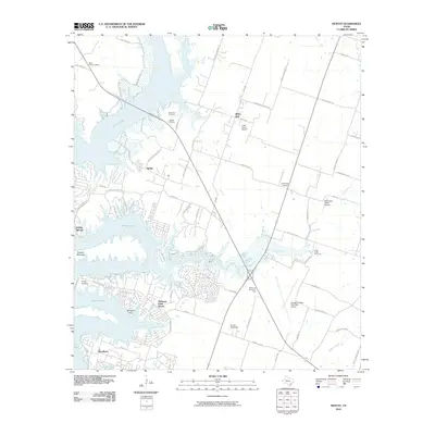 2010 Moffat2010 Print · USGSBell County shows a fascinating mix of lakefront development and rural heritage in the decade following the turn of the century. Trace family roots at Moffat Cemetery or explore the growth of Morgans Point Resort and White Hall.
 - 2010 Map of Belton, 2010 Print
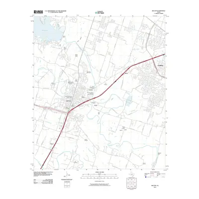 2010 Belton2010 Print · USGSThe confluence of the Leon and Lampasas Rivers defined this central Texas corridor during its mid-century growth. Genealogists and historians can locate numerous landmarks including the Baylor Female College Historic District, Belton Yarn Mill, and North Belton Cemetery.
 - 2010 Map of Rogers, 2010 Print
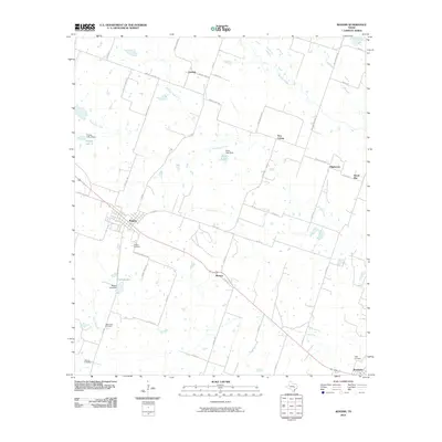 2010 Rogers2010 Print · USGSBell County agriculture and small-town life are the focus of this 2010 survey of the central Texas prairie. Genealogists can trace family landmarks and local burial sites like Rogers Cemetery, Taplin View Cemetery, and the community of New Colony.
 - 2010 Map of Holland, 2010 Print
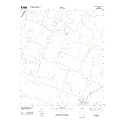 2010 Holland2010 Print · USGSBell County’s agricultural heartland is documented here in the early twenty-first century as the town of Holland continues its long history. Researchers can locate family roots at Holland Cemetery or trace the winding course of the Lampasas River and Salado Creek.
 - 2010 Map of Seaton, 2010 Print
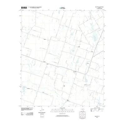 2010 Seaton2010 Print · USGSBell County agriculture and small-town Texas life are preserved here during the first decade of the new millennium. Researchers can trace family history through the National Cemetery and Dyess Cemetery or locate old community centers like Zabcikville and Ratibor.
 - 2010 Map of Troy, 2010 Print
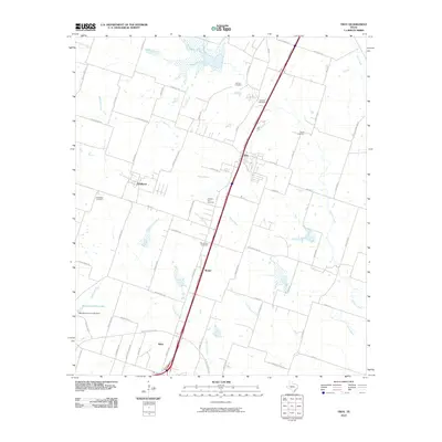 2010 Troy2010 Print · USGSBell County near the start of the twenty-first century shows a landscape where historic rural settlements like Pendleton and Berger meet modern transit corridors. Researchers can trace local heritage through numerous burial grounds, including Roberts Cemetery and Shiloh Cemetery.
 - 2010 Map of Belfalls, 2010 Print
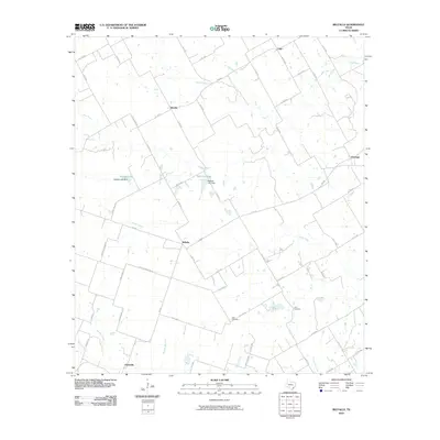 2010 Belfalls2010 Print · USGSFalls County at the start of the 21st century remains a landscape of deep-rooted agricultural communities and quiet creek beds. Genealogists and local historians can trace family locations near Belfalls, Oenaville, and Theo Cemetery.
 - 2010 Map of Little River, 2010 Print
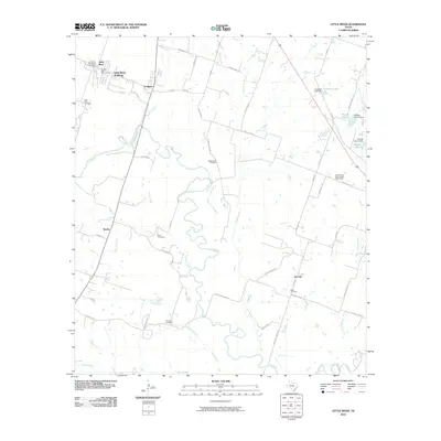 2010 Little River2010 Print · USGSBell County near the turn of the decade shows a rural landscape shaped by the Little River and its many tributaries. Family historians can trace ancestral sites at Little River Cemetery, Volo Cemetery, and the small settlement of Joe Lee.
 - 2010 Map of Fort Hood, 2010 Print
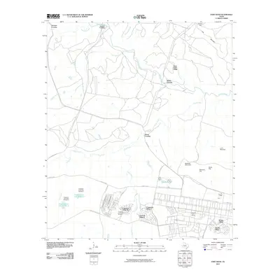 2010 Fort Hood2010 Print · USGSFort Hood and its military housing enclaves are shown here in the early twenty-first century, revealing a landscape defined by tactical roads and specialized training terrain. Researchers can trace the layout of Saint Elijah Village, Chaffee Village, and the rugged elevations of the Blackwell Mountains.
Showing maps 1-25 of 145
Top cities of Bell County
- Killeen historical maps
- Temple historical maps
- Harker Heights historical maps
- Belton historical maps
- Nolanville historical maps
- Troy historical maps
See more
Frequently asked questions
- What are the different types of historical maps available for Bell County?
- What is the oldest map of Bell County?
- Where can I purchase historical maps of Bell County for my home or office?
- Where can I download high-res historical maps of Bell County?
- Are there historical topographic maps available for Bell County?
- Is there historical aerial imagery available for Bell County?
- Where are historical maps of Bell County sourced from?