Old Maps of West Columbia, Texas for Genealogy
Trace your family roots with 16 historic maps of West Columbia. These high-res maps reveal old neighborhoods, homesites, landmarks, and streets — helping you uncover where your ancestors lived and how the area evolved over time.
- Explore historic neighborhoods: Identify where your relatives may have lived in the 1800s or 1900s.
- Compare maps over time: Trace the changes in streets, buildings, and landmarks for multi-generational research.
- Perfect for genealogy & ancestry research: Used by family historians and researchers to map out lineage and migration.
These maps are an incredible resource for exploring your personal connection to West Columbia's past.
West Columbia, TX maps
(16)- 1950 Map of Houston, 1953 Print
 1950 Houston1953 Print · USGSCoastal Texas in the early fifties reveals a landscape of massive civil engineering and industrial transit. Genealogists and researchers can trace the growth of the Houston suburbs and the maritime infrastructure of Galveston Bay, including the Gulf Freeway and the Texas City Dike.
 - 1952 Map of West Columbia
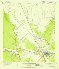 1952 West Columbia1952 Print · USGSWest Columbia during the early 1950s reveals a landscape defined by its coastal prairie hydrology and booming petroleum industry. Researchers can trace the extensive West Columbia Oil Field and Tank Farm alongside rural landmarks like St Paul Ch.4 unique versions available
 - 1952 Map of Sweeny
 1952 Sweeny1952 Print · USGSBrazoria County’s coastal prairies are shown here during a period of intense oil-sector growth in the early fifties. Genealogists and researchers can trace local landmarks like Washington Chapel, the settlement of Old Ocean, and the industrial footprint of the Tank Farm.3 unique versions available
 - 1956 Map of Houston, 1963 Print
 1956 Houston1963 Print · USGSSoutheast Texas in the mid-fifties is captured here as a powerhouse of oil and maritime trade. Genealogists and historians can trace the foundations of Houston and its ports, alongside landmarks like the Rice Institute and the Spindletop Oil Field.2 unique versions available
 - 1975 Map of Houston, 1977 Print
 1975 Houston1977 Print · USGSThe Texas Gulf Coast in the mid-seventies shows a sprawling Houston metropolis linked to the sea by the massive Houston Ship Channel. Researchers can trace the mid-century industrial landscape from the Astrodome to the Lyndon B. Johnson Space Center.2 unique versions available
 - 1984 Map of Angleton
 1984 Angleton1984 Print · USGSThe Texas Gulf Coast in the mid-eighties shows a landscape of salt domes and bayous at the height of its oil-and-river economy. Researchers can trace land use through the Damon Mound Oil Field and the sprawling State Department of Corrections (Retrieve Unit).2 unique versions available
 - 2010 Map of Sweeny, 2010 Print
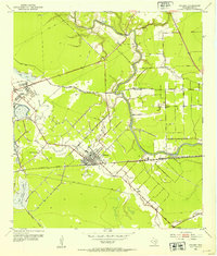
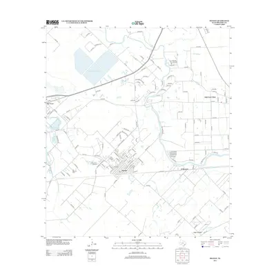
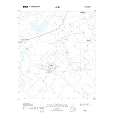
 2010 Sweeny2010 Print · USGSCovers West Columbia, including Sweeny, Wild Peach Village, and other nearby areas
 - 2010 Map of West Columbia, 2010 Print
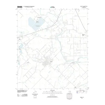
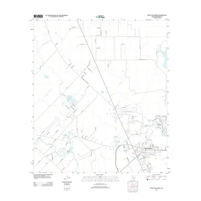
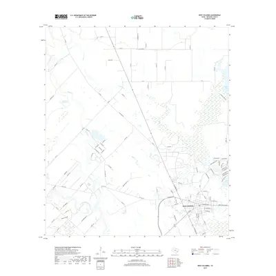
 2010 West Columbia2010 Print · USGSCovers West Columbia, including Brazoria County, United States, and other nearby areas
 - 2013 Map of West Columbia, 2013 Print
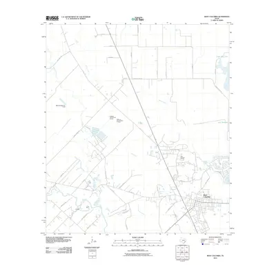
 2013 West Columbia2013 Print · USGSCovers West Columbia, including Brazoria County, United States, and other nearby areas
 - 2013 Map of Sweeny, 2013 Print
 2013 Sweeny2013 Print · USGSCovers West Columbia, including Sweeny, Wild Peach Village, and other nearby areas
 - 2016 Map of Sweeny, 2016 Print
 2016 Sweeny2016 Print · USGSCovers West Columbia, including Sweeny, Wild Peach Village, and other nearby areas
 - 2016 Map of West Columbia, 2016 Print
 2016 West Columbia2016 Print · USGSCovers West Columbia, including Brazoria County, United States, and other nearby areas
 - 2019 Map of Sweeny, 2019 Print
 2019 Sweeny2019 Print · USGSCovers West Columbia, including Sweeny, Wild Peach Village, and other nearby areas
 - 2019 Map of West Columbia, 2019 Print
 2019 West Columbia2019 Print · USGSCovers West Columbia, including Brazoria County, United States, and other nearby areas
 - 2022 Map of Sweeny, 2022 Print
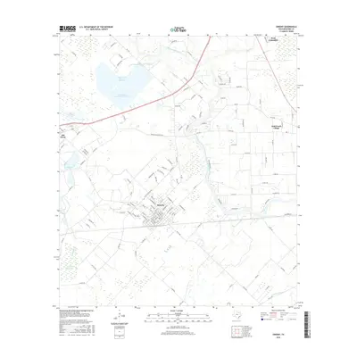
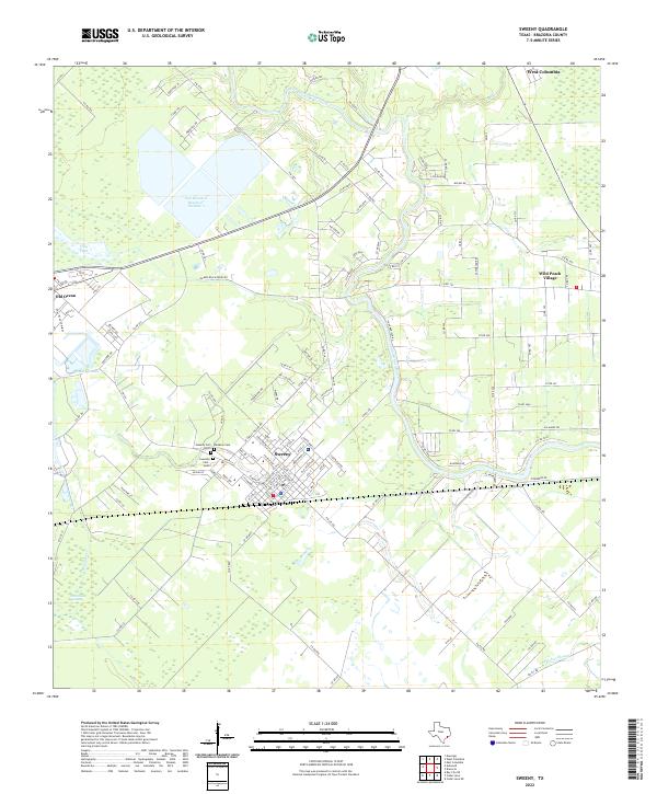 2022 Sweeny2022 Print · USGSThe Brazoria County coastal plain near Sweeny is captured here in the early twenty-first century. Researchers can trace family history at Rainbow Cem or locate legacy boundaries near Wild Peach Village and the San Bernard River.
 - 2022 Map of West Columbia, 2022 Print
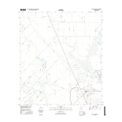
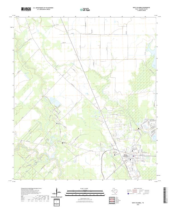 2022 West Columbia2022 Print · USGSBrazoria County comes into focus in this recent survey, showcasing the riverside development and agricultural outskirts of the Texas coastal plain. Genealogists can locate several distinct family burial sites, including the Johnson Family Cem and Patton Family Cem near the banks of Varner Cr.
End of results
Showing maps 1-16 of 16
Top cities near West Columbia
- Lake Jackson historical maps
- Alvin historical maps
- Angleton historical maps
- Freeport historical maps
- Sweeny historical maps
- Richwood historical maps
See more
Frequently asked questions
- What are the different types of historical maps available for West Columbia?
- What is the oldest map of West Columbia?
- Where can I purchase historical maps of West Columbia for my home or office?
- Where can I download high-res historical maps of West Columbia?
- Are there historical topographic maps available for West Columbia?
- Is there historical aerial imagery available for West Columbia?
- Where are historical maps of West Columbia sourced from?