2000s (21st Century) Maps of Cherokee County, Texas
Explore 158 historic maps of Cherokee County from the 2000s (21st Century). These maps offer a rare glimpse into what life looked like during the 2000s — showing old roads, neighborhoods, homes, and landmarks that have changed or disappeared over time.
Whether you're researching your family's past, planning a metal detecting trip, or studying how Cherokee County's landscape evolved across the 2000s, these high-resolution maps are a powerful tool for exploring the history of this region.
- Focus on a specific era: All maps on this page are from the 2000s, giving you a focused view of this time period.
- See what’s changed: Compare century-old streets, trails, and buildings to today's modern landscape using overlays and satellite layers.
- Research with precision: Use these maps for genealogy, historical research, land use analysis, or educational projects.
- View, download, or print: Maps are fully viewable online in high resolution, and can be downloaded or printed for your own records.
Start exploring Cherokee County's history through authentic maps from the 2000s. This is your window into the past.
Cherokee County, TX maps
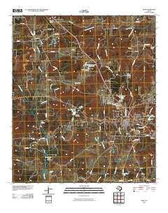
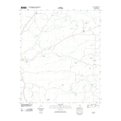
(158)- 2004 Map of Weches, 2006 Print
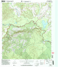 2004 Weches2006 Print · USGSThe dense East Texas timberlands meet the winding Neches River in this mid-2000s survey of the Houston and Cherokee county border. Genealogists and local historians can trace the sites of Weeping Mary, St Thomas Chapel, and the historic Indian Mound Nursery.
 - 2004 Map of Kennard NE, 2006 Print
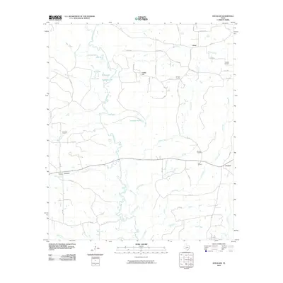
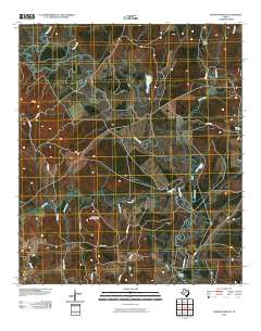
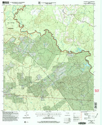 2004 Kennard NE2006 Print · USGSThe Neches River winds through the Davy Crockett National Forest in this early 2000s East Texas survey. Genealogists and local historians can trace rural roots at Mount Vernon Cem, Shooks Bluff, and the Sweet Union Ch.
 - 2004 Map of Wells, 2006 Print
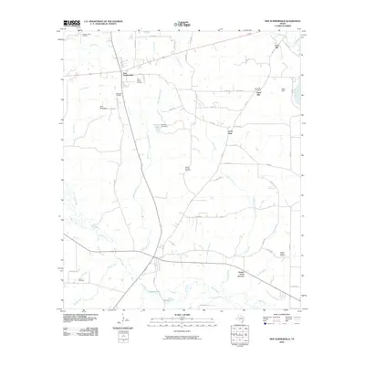
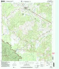 2004 Wells2006 Print · USGSCherokee and Angelina counties are captured here in the early 2000s, showing the intersection of forest service land and rural life. Researchers can trace family history through local sites like Simpson Cem, the small settlement of Redtown, and the banks of the Neches River.
 - 2010 Map of Gum Springs, 2010 Print
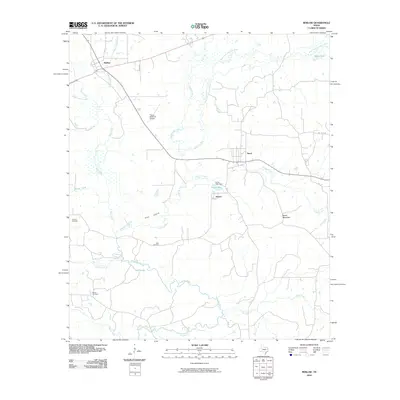
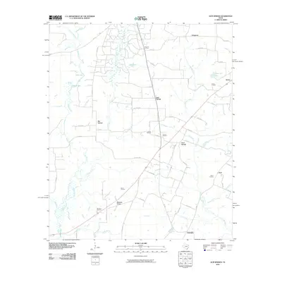 2010 Gum Springs2010 Print · USGSCovers Cherokee County, including Stringtown, Big Springs, and other nearby areas
 - 2010 Map of Durst Lakes, 2010 Print
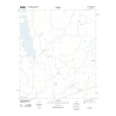
 2010 Durst Lakes2010 Print · USGSCovers Cherokee County, including Wells, Cross Roads, and other nearby areas
 - 2010 Map of Reklaw, 2010 Print
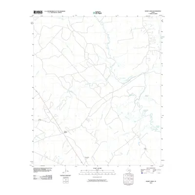
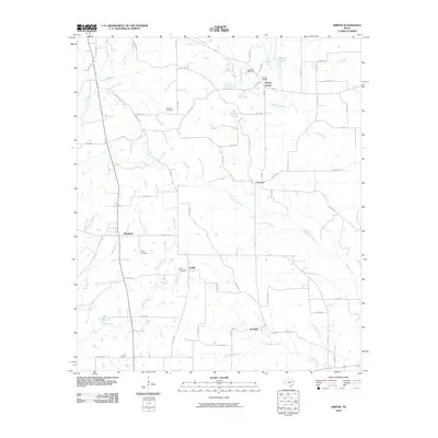
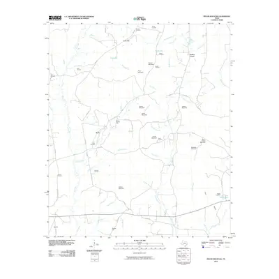
 2010 Reklaw2010 Print · USGSCovers Cherokee County, including Dextra, Reklaw, and other nearby areas
 - 2010 Map of Douglass, 2010 Print
 2010 Douglass2010 Print · USGSCovers Cherokee County, including County Line, Linwood, and other nearby areas
 - 2010 Map of New Salem, 2010 Print
 2010 New Salem2010 Print · USGSCovers Cherokee County, including New Salem, Fairview, and other nearby areas
 - 2010 Map of Price, 2010 Print
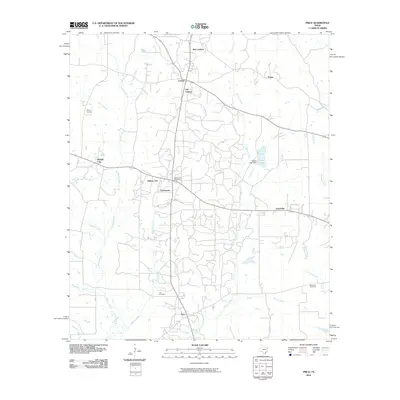 2010 Price2010 Print · USGSCovers Cherokee County, including New London, Wright City, and other nearby areas
 - 2010 Map of Alto, 2010 Print
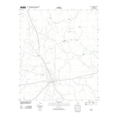 2010 Alto2010 Print · USGSCovers Cherokee County, including Alto, Redlawn, and other nearby areas
 - 2010 Map of Maydelle, 2010 Print
 2010 Maydelle2010 Print · USGSCovers Cherokee County, including Java, Maydelle, and other nearby areas
 - 2010 Map of Tecula, 2010 Print
 2010 Tecula2010 Print · USGSCovers Cherokee County, including Mixon, Brushy, and other nearby areas
 - 2010 Map of Jacksonville West, 2010 Print
 2010 Jacksonville West2010 Print · USGSCovers Cherokee County, including Jacksonville, Ironton, and other nearby areas
 - 2010 Map of Griffin, 2010 Print
 2010 Griffin2010 Print · USGSCovers Cherokee County, including Blackjack, Concord, and other nearby areas
 - 2010 Map of Neches, 2010 Print
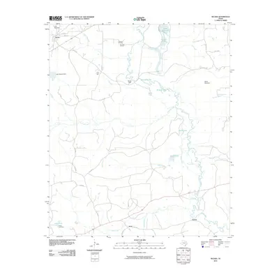 2010 Neches2010 Print · USGSCovers Cherokee County, including Neches, Herring, and other nearby areas
 - 2010 Map of Pryor Mountain, 2010 Print
 2010 Pryor Mountain2010 Print · USGSCovers Cherokee County, including Bulah, Lone Oak, and other nearby areas
 - 2010 Map of Berryville, 2010 Print
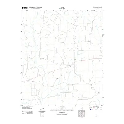
 2010 Berryville2010 Print · USGSCovers Cherokee County, including Frankston, Berryville, and other nearby areas
 - 2010 Map of Mount Selman, 2010 Print
 2010 Mount Selman2010 Print · USGSCovers Cherokee County, including Jacksonville, Bullard, and other nearby areas
 - 2010 Map of Rusk, 2010 Print
 2010 Rusk2010 Print · USGSCovers Cherokee County, including Rusk, Dialville, and other nearby areas
 - 2010 Map of Jacksonville East, 2010 Print
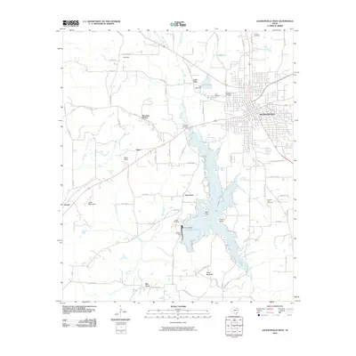
 2010 Jacksonville East2010 Print · USGSCovers Cherokee County, including Jacksonville, New Summerfield, and other nearby areas
 - 2010 Map of New Summerfield, 2010 Print
 2010 New Summerfield2010 Print · USGSCovers Cherokee County, including New Summerfield, Ponta, and other nearby areas
 - 2010 Map of Denson Springs, 2010 Print
 2010 Denson Springs2010 Print · USGSCovers Cherokee County, including Anderson County, United States, and other nearby areas
 - 2010 Map of Atoy, 2010 Print
 2010 Atoy2010 Print · USGSCovers Cherokee County, including Rusk, Circle, and other nearby areas
 - 2010 Map of Todd City, 2010 Print
 2010 Todd City2010 Print · USGSCovers Cherokee County, including Prices, Pierces Chapel, and other nearby areas
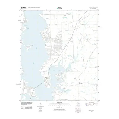
 - 2010 Map of Saline Bay, 2010 Print
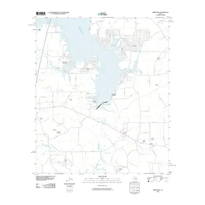
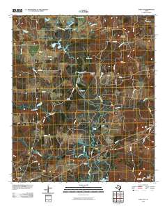
 2010 Saline Bay2010 Print · USGSCovers Cherokee County, including Noonday, Coffee City, and other nearby areas
Showing maps 1-25 of 158
Top cities of Cherokee County
- Jacksonville historical maps
- Rusk historical maps
- Alto historical maps
- New Summerfield historical maps
- Wells historical maps
- Gallatin historical maps
See more
Frequently asked questions
- What are the different types of historical maps available for Cherokee County?
- What is the oldest map of Cherokee County?
- Where can I purchase historical maps of Cherokee County for my home or office?
- Where can I download high-res historical maps of Cherokee County?
- Are there historical topographic maps available for Cherokee County?
- Is there historical aerial imagery available for Cherokee County?
- Where are historical maps of Cherokee County sourced from?