2010s Maps of Cherokee County, Texas
Explore 124 historic maps of Cherokee County from the 2010s. These maps offer a rare glimpse into what life looked like during the 2010s — showing old roads, neighborhoods, homes, and landmarks that have changed or disappeared over time.
Whether you're researching your family's past, planning a metal detecting trip, or studying how Cherokee County's landscape evolved across the 2010s, these high-resolution maps are a powerful tool for exploring the history of this region.
- Focus on a specific era: All maps on this page are from the 2010s, giving you a focused view of this time period.
- See what’s changed: Compare century-old streets, trails, and buildings to today's modern landscape using overlays and satellite layers.
- Research with precision: Use these maps for genealogy, historical research, land use analysis, or educational projects.
- View, download, or print: Maps are fully viewable online in high resolution, and can be downloaded or printed for your own records.
Start exploring Cherokee County's history through authentic maps from the 2010s. This is your window into the past.
Cherokee County, TX maps
(124)- 2010 Map of Gum Springs, 2010 Print
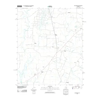 2010 Gum Springs2010 Print · USGSRusk County communities and family cemeteries are documented here during the early twenty-first century. Genealogists and local historians can trace family ties at Waggoner Cemetery and Duncan Cemetery or locate old settlements like Good Springs and Pone.
 - 2010 Map of Durst Lakes, 2010 Print
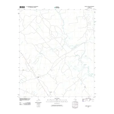 2010 Durst Lakes2010 Print · USGSThe Angelina River basin in Cherokee County is shown here at the start of the decade, revealing a landscape defined by its wetlands and small settlements. Genealogists and historians can trace family locations near Hester Cemetery, Mount Hope Cemetery, and the Cross Roads junction.
 - 2010 Map of Reklaw, 2010 Print
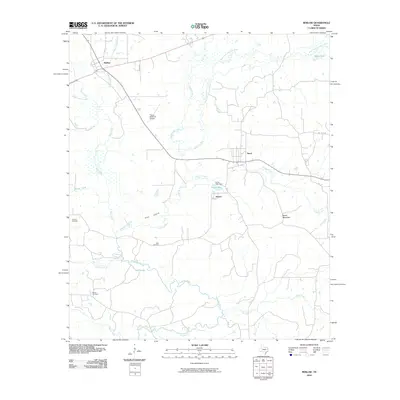 2010 Reklaw2010 Print · USGSNacogdoches County at the start of the decade reveals a landscape woven together by the Angelina River and its many creek crossings. Local historians can trace family roots through Looney Cemetery, Ward Cemetery, and the old settlements of Reklaw and Sacul.
 - 2010 Map of Douglass, 2010 Print
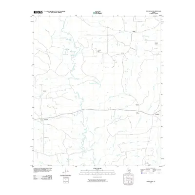 2010 Douglass2010 Print · USGSEast Texas river bottomlands and rural settlements are captured here in the early twenty-first century. Genealogists and local historians can trace family locations near Douglass, Linwood, and several sites like Blackjack Cemetery and Stonewall Cemetery.
 - 2010 Map of New Salem, 2010 Print
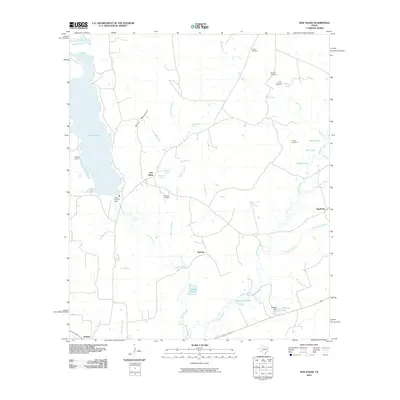 2010 New Salem2010 Print · USGSThe Angelina River basin and the Rusk County countryside come to life in this recent survey, showcasing a landscape of springs and small settlements. Genealogists can locate several family-named burial grounds like Medford Cemetery and Vaughn Cemetery near New Salem.
 - 2010 Map of Price, 2010 Print
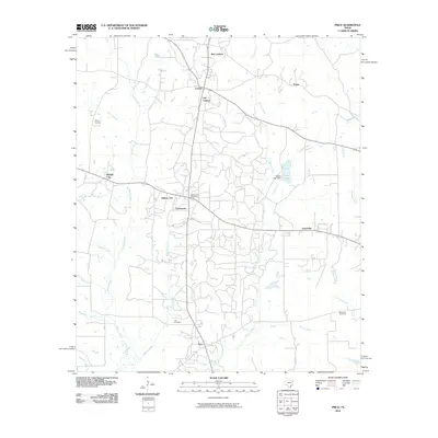 2010 Price2010 Print · USGSRusk County at the start of the 2010s shows a landscape of established rural settlements and winding East Texas creeks. Researchers can trace family history through Asbury Cemetery and locate historic hubs like Selman City Post Office and Joinerville.
 - 2010 Map of Alto, 2010 Print
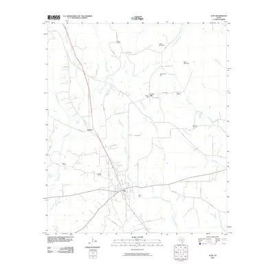 2010 Alto2010 Print · USGSAlto and the surrounding East Texas timberlands appear here in the early twenty-first century as a landscape of rural junctions and family landmarks. Researchers can trace local lineages through Shiloh and Bradford cemeteries or locate the historic Central High school site.
 - 2010 Map of Maydelle, 2010 Print
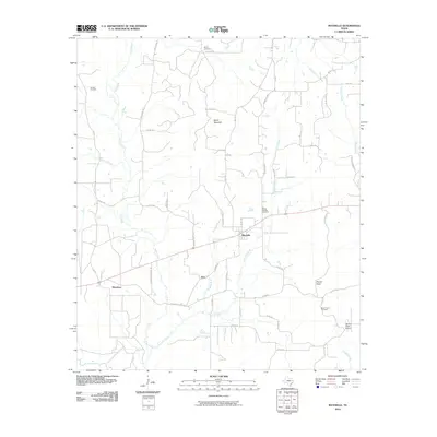 2010 Maydelle2010 Print · USGSCherokee County, Texas, reveals its rural character in this 2010 survey of its rolling timberland and small communities. Researchers can trace the layout of Maydelle or locate family landmarks like Mount Hope School, Ghent Mountain, and the Berge Cemetery.
 - 2010 Map of Tecula, 2010 Print
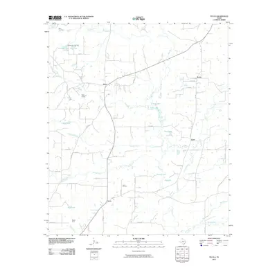 2010 Tecula2010 Print · USGSCherokee County at the end of the first decade of the 2000s shows a landscape defined by petroleum production and rural crossroads. Genealogists and local historians can trace family roots near Tecula Cemetery or the settlements of Mixon and Gould.
 - 2010 Map of Jacksonville West, 2010 Print
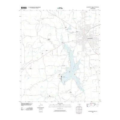 2010 Jacksonville West2010 Print · USGSJacksonville and the central Piney Woods of East Texas appear here just after the first decade of the new millennium. Researchers can trace family roots at Earles Chapel and Miles Cemetery or explore the developed shores of Lake Jacksonville.
 - 2010 Map of Griffin, 2010 Print
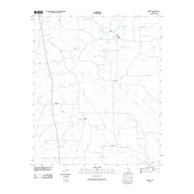 2010 Griffin2010 Print · USGSCherokee County at the start of the 21st century remains a landscape of quiet crossroads and family landmarks. Genealogists can trace property proximity to the Knoxville Cemetery, Henrys Chapel, or the rural community of Blackjack.
 - 2010 Map of Neches, 2010 Print
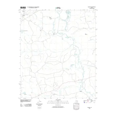 2010 Neches2010 Print · USGSEast Texas river bottomlands and rolling uplands are documented here at the turn of the millennium. Local historians can trace family ties at Caldwell Cemetery and explore the waterway networks around Neches, Jarvis, and the meandering Buzzard Slough.
 - 2010 Map of Pryor Mountain, 2010 Print
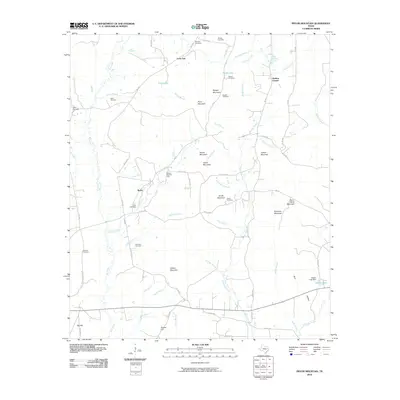 2010 Pryor Mountain2010 Print · USGSCherokee County at the start of the decade reveals a landscape of high ridges and rural homesteads. Researchers can locate family burial sites at Smith Cemetery or Nelson Cemetery and trace local landmarks like Bulah, Hudson Chapel, and Pryor Mountain.
 - 2010 Map of Berryville, 2010 Print
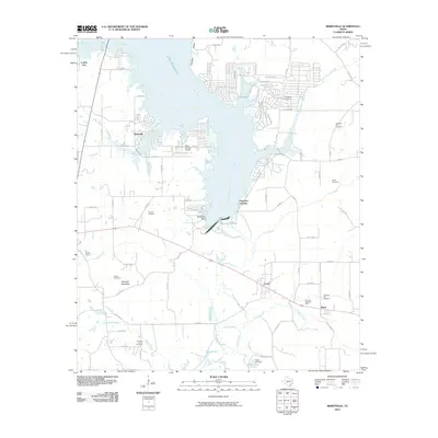 2010 Berryville2010 Print · USGSLake Palestine and the Neches River valley define this area of Anderson and Henderson Counties during the early twenty-first century. Researchers can trace family history at Running Spring Cemetery or explore lakeside developments like Berryville and Cherokee Landing.
 - 2010 Map of Mount Selman, 2010 Print
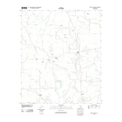 2010 Mount Selman2010 Print · USGSCherokee County at the start of the decade reveals a landscape of enduring rural communities and historical family sites. Genealogists and historians can trace the foundations of Larissa and Mount Selman while locating several local landmarks like Killough Cemetery and the Mount Selman Speed Bowl.
 - 2010 Map of Rusk, 2010 Print
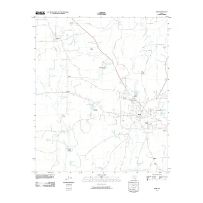 2010 Rusk2010 Print · USGSCherokee County at the turn of the decade reveals a landscape of community hubs and rural crossroads centered on the county seat. Genealogists and historians can trace numerous burial sites and water features, including the Old Prison Cemetery, Rusk City Lake, and the community of Dialville.
 - 2010 Map of Jacksonville East, 2010 Print
 2010 Jacksonville East2010 Print · USGSCherokee County at the start of the 2010s shows a landscape of expanding towns and rural hubs. Genealogists and local historians can trace legacy sites like Tilley Cemetery, Jarrett Cemetery, and the community of Gallatin among the many creeks.
 - 2010 Map of New Summerfield, 2010 Print
 2010 New Summerfield2010 Print · USGSCherokee County at the dawn of the 21st century shows a landscape defined by quiet rural settlements and deeply rooted community landmarks. Researchers can trace local lineage through numerous burial sites like Union Hill and Myrtle Springs Cemetery, or locate old junctions such as Stryker Creek Junction.
 - 2010 Map of Denson Springs, 2010 Print
 2010 Denson Springs2010 Print · USGSAnderson County at the start of the decade is defined by the winding Neches River and its dense network of rural county roads. Researchers can locate the Sardis Cemetery and trace crossings like the Fastrill Bridge or the heights of Bird Mountain.
 - 2010 Map of Atoy, 2010 Print
 2010 Atoy2010 Print · USGSCherokee County at the end of the first decade of the millennium shows a landscape defined by traditional settlements and family histories. Genealogists can trace rural roots at Walker Cemetery and Atoy, or locate landmarks like the Rusk Lookout Tower.
 - 2010 Map of Todd City, 2010 Print
 2010 Todd City2010 Print · USGSTodd City and the high ground of Cherokee County are shown here during the early twenty-first century as oil production and timbered hillsides shaped the community. Genealogists can locate family landmarks like Miller Cemetery, Earls Chapel, and the settlement of Ironton.
 - 2010 Map of Saline Bay, 2010 Print
 2010 Saline Bay2010 Print · USGSLake Palestine's western shore comes into focus during this era of Smith County development. Researchers can trace local lineage at Hawthorne Cemetery and Loftin Cemetery, or locate the Emerald Bay Airport near Dogwood City.
 - 2010 Map of Bullard, 2010 Print
 2010 Bullard2010 Print · USGSThe communities south of Tyler are captured here in the early twenty-first century as suburban growth met rural Smith County roots. Genealogists and local historians can locate many family burial grounds, including Flint Cemetery, Douglas Cemetery, and Rather Cemetery.
 - 2010 Map of Troup West, 2010 Print
 2010 Troup West2010 Print · USGSThe growing communities of Whitehouse and Troup are captured here at the start of the 2010s, bordering the winding shores of Lake Tyler. Researchers can trace old family burial grounds at Smith Cemetery and navigate the inlets of Spillway Bay and Quiet Bay.
 - 2010 Map of Troup East, 2010 Print
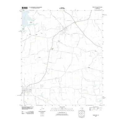 2010 Troup East2010 Print · USGSSmith County is shown here during a period of modern growth near the shores of Lake Tyler East. Researchers can locate several historic burial grounds, including Shiloh Cemetery, and trace the development of small communities like Sinclair City and Arp.
Showing maps 1-25 of 124
Top cities of Cherokee County
- Jacksonville historical maps
- Rusk historical maps
- Alto historical maps
- New Summerfield historical maps
- Wells historical maps
- Gallatin historical maps
See more
Frequently asked questions
- What are the different types of historical maps available for Cherokee County?
- What is the oldest map of Cherokee County?
- Where can I purchase historical maps of Cherokee County for my home or office?
- Where can I download high-res historical maps of Cherokee County?
- Are there historical topographic maps available for Cherokee County?
- Is there historical aerial imagery available for Cherokee County?
- Where are historical maps of Cherokee County sourced from?