2010s Maps of Cooke County, Texas
Explore 96 historic maps of Cooke County from the 2010s. These maps offer a rare glimpse into what life looked like during the 2010s — showing old roads, neighborhoods, homes, and landmarks that have changed or disappeared over time.
Whether you're researching your family's past, planning a metal detecting trip, or studying how Cooke County's landscape evolved across the 2010s, these high-resolution maps are a powerful tool for exploring the history of this region.
- Focus on a specific era: All maps on this page are from the 2010s, giving you a focused view of this time period.
- See what’s changed: Compare century-old streets, trails, and buildings to today's modern landscape using overlays and satellite layers.
- Research with precision: Use these maps for genealogy, historical research, land use analysis, or educational projects.
- View, download, or print: Maps are fully viewable online in high resolution, and can be downloaded or printed for your own records.
Start exploring Cooke County's history through authentic maps from the 2010s. This is your window into the past.
Cooke County, TX maps
(96)- 2010 Map of Whitesboro, 2010 Print
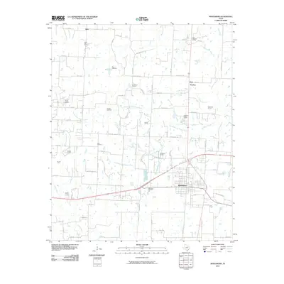 2010 Whitesboro2010 Print · USGSThe community of Whitesboro and its surrounding oil fields are captured here in the early twenty-first century. Researchers can trace family history through several rural burial grounds like Liberty Hill Cemetery or locate old community centers at Theodore and Balm.
 - 2010 Map of Era, 2010 Print
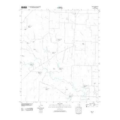 2010 Era2010 Print · USGSThe ranching and oil country of Cooke County is captured here in the early twenty-first century, just north of Bolivar. Researchers can trace rural lineages through Cogburn Cemetery and Knox Cemetery or locate landmarks like The Backbone and Bundy Oil Field.
 - 2010 Map of Muenster East, 2010 Print
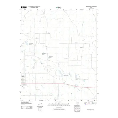 2010 Muenster East2010 Print · USGSNorth Texas ranching and farming traditions define this Cooke County landscape in the early 21st century. Researchers can trace family history at Hayes Cemetery and Van Syke Cemetery, or follow the hydrology of Wolf Ridge and Tonkawa Creek.
 - 2010 Map of Muenster West, 2010 Print
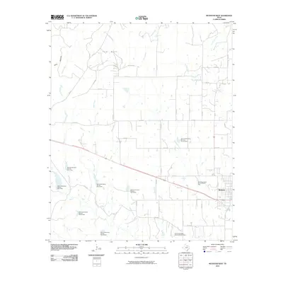 2010 Muenster West2010 Print · USGSMuenster and the surrounding Texas ranchlands are captured here in the early twenty-first century, showcasing a highly managed agricultural landscape. Genealogists and local historians can trace the creek-side properties and numerous federal dams, including Soil Conservation Service Site 2 Dam and the area near Tyler Bluff.
 - 2010 Map of Woodbine, 2010 Print
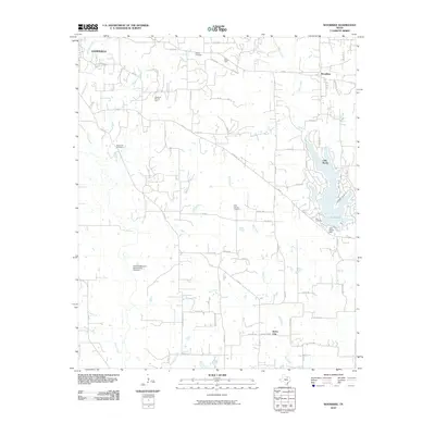 2010 Woodbine2010 Print · USGSNorth of Gainesville in the early twenty-first century, this landscape shows the meeting point of traditional Texas ranchland and modern lake life. Genealogists and researchers can locate historic burial sites like Dervin Cemetery and trace industrial footprints at the Anderson-Kerr Oil Field.
 - 2010 Map of Valley View, 2010 Print
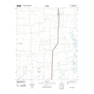 2010 Valley View2010 Print · USGSSanger and Valley View appear at a moment of transition in the early 2000s, balancing rural ranching roots with the growth of the Interstate 35 corridor. Researchers can trace family-named roads and remote airstrips like Bar V-K Ranch Airport or the shoreline of Ray Roberts Lake.
 - 2010 Map of Mountain Springs, 2010 Print
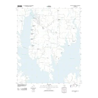 2010 Mountain Springs2010 Print · USGSCooke County's rolling eastern plains meet the vast waters of the local reservoir in the early twenty-first century. Genealogists and local historians can trace legacy landmarks like Mount Olive Cemetery, Walling Cemetery, and the quiet community of Hemming.
 - 2010 Map of Collinsville, 2010 Print
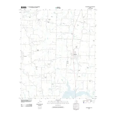 2010 Collinsville2010 Print · USGSCollinsville and the surrounding Grayson County countryside are shown here in the early twenty-first century, just north of the expanding Ray Roberts Lake. Researchers can trace local history through numerous family burial sites like Barron Cemetery and active energy landscapes including the Woodbine Oil Field.
 - 2010 Map of Pilot Point, 2010 Print
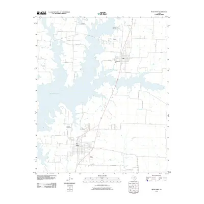 2010 Pilot Point2010 Print · USGSThe northern reaches of Denton County are shown here in the early twenty-first century, featuring the expanding shoreline of Ray Roberts Lake. Researchers can trace local history through sites like Tioga Cemetery, Skinner Cemetery, and family-named routes such as Emberson Ranch Rd.
 - 2010 Map of Callisburg, 2010 Print
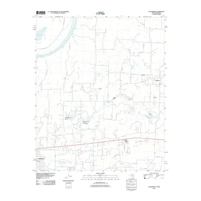 2010 Callisburg2010 Print · USGSCooke County at the start of the 2010s shows a landscape of creek-fed plains and the Red River valley. Genealogists and historians can trace family locations near Callisburg Cemetery or the Callisburg Oil Field, and locate landmarks like Camp Sweeney.
 - 2010 Map of Gainesville South, 2010 Print
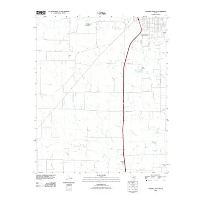 2010 Gainesville South2010 Print · USGSGainesville and the North Texas prairie are shown during a period of modern growth and rural preservation. Genealogists and local historians can trace the landscape around Valley View Cemetery, the waters of Sarles Lake, and the landmark at Terrapin Hill.
 - 2010 Map of Freemound, 2010 Print
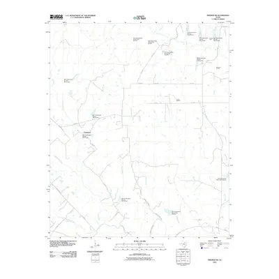 2010 Freemound2010 Print · USGSFreemound and the surrounding Cooke County ranch lands are shown here at the turn of the twenty-first century. Researchers can trace the extensive network of watershed dams and find local energy landmarks like the Dangel Oil Field and Gatewood Oil Field.
 - 2010 Map of Horseshoe Bend, 2010 Print
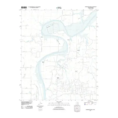 2010 Horseshoe Bend2010 Print · USGSThe Texas-Oklahoma borderlands along the Red River are shown here in the early twenty-first century, featuring the massive river loops of Horseshoe Bend and Addington Bend. Researchers can locate Decherds Cemetery, the Walnut Bend Oil Field, and the rural settlement of Coesfield.
 - 2010 Map of Marysville, 2010 Print
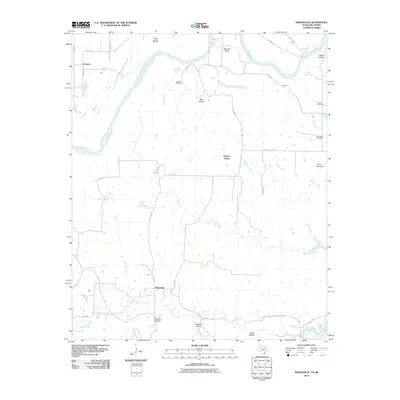 2010 Marysville2010 Print · USGSMarysville and Jimtown are situated along the meandering Red River on the Texas-Oklahoma border in the early twenty-first century. Researchers can locate local burial sites such as Barlow Cemetery and trace land features like Nubbin Ridge and Three Mounds.
 - 2010 Map of Leon North, 2010 Print
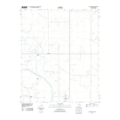 2010 Leon North2010 Print · USGSLove County and the North Texas borderlands are captured here at a time when the Red River still dictated the pace of rural life. Genealogists can locate Courtney Cemetery and Murrell Cemetery near the communities of Leon and Rubottom.
 - 2010 Map of Thackerville, 2010 Print
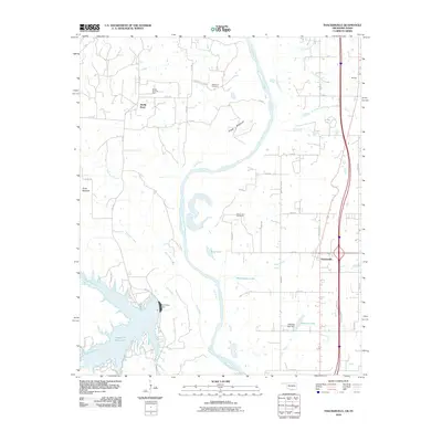 2010 Thackerville2010 Print · USGSThe Oklahoma-Texas borderlands are captured here during a period of modern development along the Red River. Genealogists and local historians can trace family sites at High Point Cemetery and Mount Zion Cemetery or locate the Sivells Bend Oil Field.
 - 2010 Map of Leon South, 2010 Print
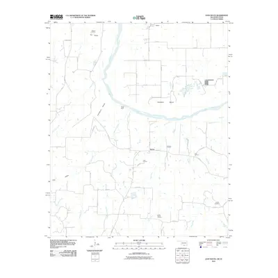 2010 Leon South2010 Print · USGSThe Red River borderlands of Oklahoma and Texas come into focus here during the early 21st century. Researchers can trace family history through several rural burial grounds such as Williams Cemetery and Scanland Cemetery near the community of Bulcher.
 - 2010 Map of Dexter, 2010 Print
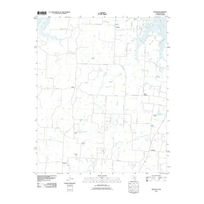 2010 Dexter2010 Print · USGSThe Red River valley near the Oklahoma border is documented here in the early twenty-first century as it balances rural history and energy production. Genealogists can locate several local burial sites like Johnson Cemetery and Newell Cemetery or trace the legacy of Stillhouse Ferry.
 - 2010 Map of Marietta West, 2010 Print
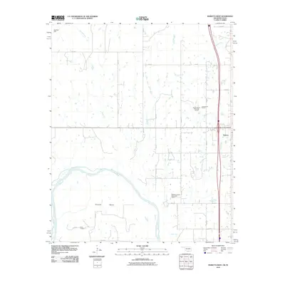 2010 Marietta West2010 Print · USGSThe Oklahoma-Texas borderlands along the Red River are captured here as they appeared in 2010. Researchers can locate the Gunter Cemetery and trace aviation landmarks like the Love County Airport and the McGehee Catfish Restaurant Airport.
 - 2010 Map of Gainesville North, 2010 Print
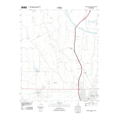 2010 Gainesville North2010 Print · USGSGainesville and the surrounding Red River valley come into focus in this early twenty-first-century survey. Genealogists and local historians can trace the grounds of the Red River Cemetery or locate the Santa Fe Passenger Depot near the Elm Fork Trinity River.
 - 2010 Map of Lebanon, 2010 Print
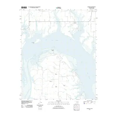 2010 Lebanon2010 Print · USGSThe Oklahoma-Texas borderlands are captured here during the first decade of the new millennium as Lake Texoma meets the southern plains. Trace rural family lands and local geography near Lebanon, Graveyard Bluff, and the U U Ranch Airport.
 - 2010 Map of Burneyville, 2010 Print
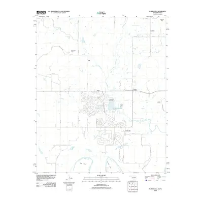 2010 Burneyville2010 Print · USGSLove County, Oklahoma, meets the Texas border at the winding Red River in this recent survey. Researchers can trace family history at Box Cemetery or Parker Cemetery and locate the small communities of Burneyville, Pike, and Eastman.
 - 2010 Map of Hood, 2010 Print
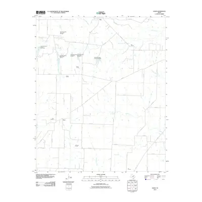 2010 Hood2010 Print · USGSNorth of the Era community during the early twenty-first century, this area of Cooke County shows a landscape balanced between ranching and oil production. Researchers can locate the Brewer Oil Field and Ellenburger Oil Field, alongside family history sites like Hood Cemetery and Reed Cemetery.
 - 2010 Map of Greenwood, 2010 Print
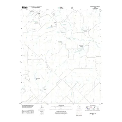 2010 Greenwood2010 Print · USGSNorth Texas rural life and water management are the focus of this early twenty-first-century survey of the Greenwood area. Genealogists and historians can trace family locations near Bewley Cemetery or along the banks of Clear Creek and Dixon Creek.
 - 2012 Map of Leon North, 2012 Print
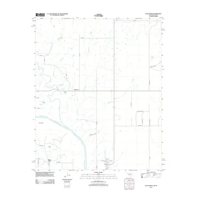 2012 Leon North2012 Print · USGSLove County, Oklahoma, is documented here in the early twenty-first century as the Red River creates the border with Texas. Researchers can locate family landmarks like Murrell Cem and Courtney Cem or trace the rural layouts of Leon and Rubottom.
Showing maps 1-25 of 96
Top cities of Cooke County
- Gainesville historical maps
- Muenster historical maps
- Lindsay historical maps
- Valley View historical maps
- Callisburg historical maps
- Oak Ridge historical maps
Frequently asked questions
- What are the different types of historical maps available for Cooke County?
- What is the oldest map of Cooke County?
- Where can I purchase historical maps of Cooke County for my home or office?
- Where can I download high-res historical maps of Cooke County?
- Are there historical topographic maps available for Cooke County?
- Is there historical aerial imagery available for Cooke County?
- Where are historical maps of Cooke County sourced from?