2000s (21st Century) Maps of Dimmit County, Texas
Explore 151 historic maps of Dimmit County from the 2000s (21st Century). These maps offer a rare glimpse into what life looked like during the 2000s — showing old roads, neighborhoods, homes, and landmarks that have changed or disappeared over time.
Whether you're researching your family's past, planning a metal detecting trip, or studying how Dimmit County's landscape evolved across the 2000s, these high-resolution maps are a powerful tool for exploring the history of this region.
- Focus on a specific era: All maps on this page are from the 2000s, giving you a focused view of this time period.
- See what’s changed: Compare century-old streets, trails, and buildings to today's modern landscape using overlays and satellite layers.
- Research with precision: Use these maps for genealogy, historical research, land use analysis, or educational projects.
- View, download, or print: Maps are fully viewable online in high resolution, and can be downloaded or printed for your own records.
Start exploring Dimmit County's history through authentic maps from the 2000s. This is your window into the past.
Dimmit County, TX maps
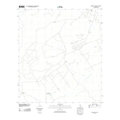
(151)- 2001 Map of Artesia
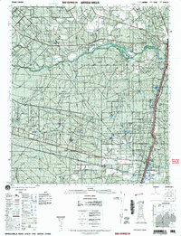 2001 Artesia2001 Print · USGSSouth Texas ranching country comes into focus at the start of the millennium, centered on the Artesia Wells corridor. Researchers can trace land ownership through prominent properties like Cochina Ranch and Richey Ranch, or locate remote landmarks like the Rancho Encantada and the winding Nueces River.
 - 2010 Map of San Pedro Creek, 2010 Print
 2010 San Pedro Creek2010 Print · USGSCovers Dimmit County, including Maverick County, United States, and other nearby areas
 - 2010 Map of Palo Blanco Tank, 2010 Print
 2010 Palo Blanco Tank2010 Print · USGSCovers Dimmit County, including Maverick County, United States, and other nearby areas
 - 2010 Map of Valley Wells, 2010 Print
 2010 Valley Wells2010 Print · USGSCovers Dimmit County, including Valley Wells, United States, and other nearby areas
 - 2010 Map of Farias Tank, 2010 Print
 2010 Farias Tank2010 Print · USGSCovers Dimmit County, including Gilson Groves, United States, and other nearby areas
 - 2010 Map of Carrizo Springs NW, 2010 Print
 2010 Carrizo Springs NW2010 Print · USGSCovers Dimmit County, including Zavala County, United States, and other nearby areas
 - 2010 Map of Dabney Tank, 2010 Print
 2010 Dabney Tank2010 Print · USGSCovers Dimmit County, including United States, Texas, and other nearby areas
 - 2010 Map of Woodard Lake, 2010 Print
 2010 Woodard Lake2010 Print · USGSCovers Dimmit County, including Zavala County, United States, and other nearby areas
 - 2010 Map of Velenzuela Creek, 2010 Print
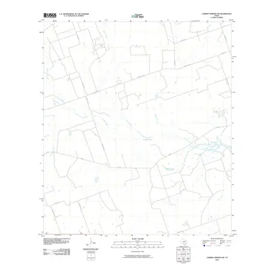
 2010 Velenzuela Creek2010 Print · USGSCovers Dimmit County, including Webb County, United States, and other nearby areas
 - 2010 Map of Carrizo Springs East, 2010 Print
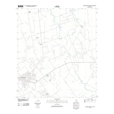 2010 Carrizo Springs East2010 Print · USGSCovers Dimmit County, including Carrizo Springs, Carrizo Hill, and other nearby areas
 - 2010 Map of Piloncillo Hill, 2010 Print
 2010 Piloncillo Hill2010 Print · USGSCovers Dimmit County, including Webb County, United States, and other nearby areas
 - 2010 Map of Asherton NW, 2010 Print
 2010 Asherton NW2010 Print · USGSCovers Dimmit County, including United States, Texas, and other nearby areas
 - 2010 Map of Snake Creek, 2010 Print
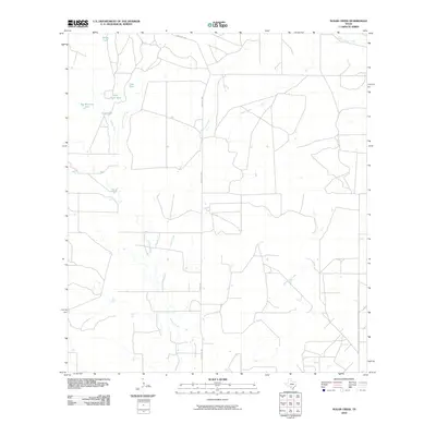
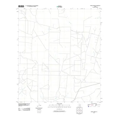 2010 Snake Creek2010 Print · USGSCovers Dimmit County, including Frio County, La Salle County, and other nearby areas
 - 2010 Map of Asherton, 2010 Print
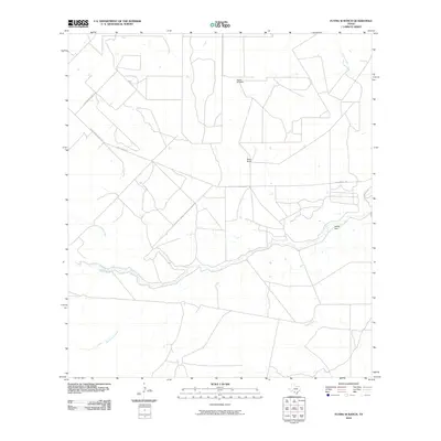
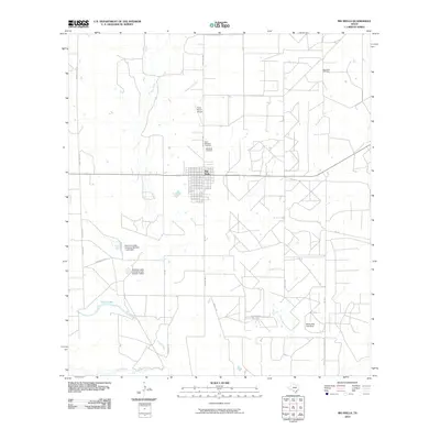
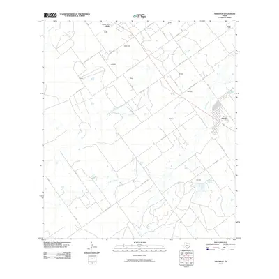 2010 Asherton2010 Print · USGSCovers Dimmit County, including Asherton, United States, and other nearby areas
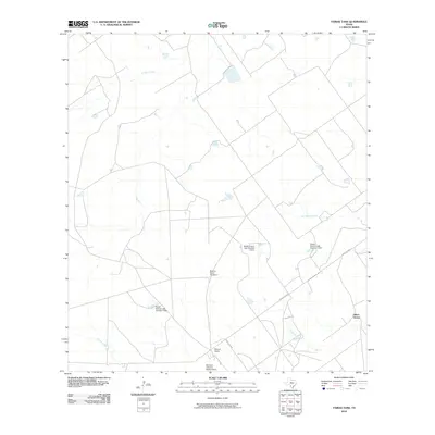
 - 2010 Map of Crystal City, 2010 Print
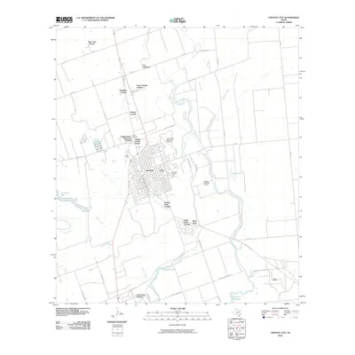 2010 Crystal City2010 Print · USGSCovers Dimmit County, including Crystal City, Popeye Lake Colonia, and other nearby areas
 - 2010 Map of Sugar Creek, 2010 Print
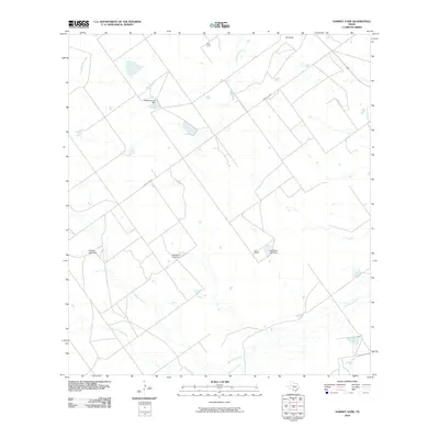
 2010 Sugar Creek2010 Print · USGSCovers Dimmit County, including Zavala County, United States, and other nearby areas
 - 2010 Map of East Losa Tank, 2010 Print
 2010 East Losa Tank2010 Print · USGSCovers Dimmit County, including Webb County, United States, and other nearby areas
 - 2010 Map of Catarina, 2010 Print
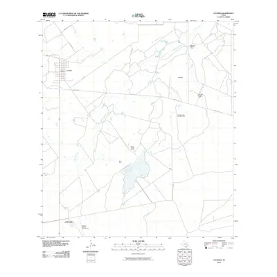 2010 Catarina2010 Print · USGSCovers Dimmit County, including Catarina, Kearny, and other nearby areas
 - 2010 Map of Flying W Ranch, 2010 Print
 2010 Flying W Ranch2010 Print · USGSCovers Dimmit County, including La Salle County, United States, and other nearby areas
 - 2010 Map of Blocker Tank, 2010 Print
 2010 Blocker Tank2010 Print · USGSCovers Dimmit County, including La Salle County, United States, and other nearby areas
 - 2010 Map of Dentonio, 2010 Print
 2010 Dentonio2010 Print · USGSCovers Dimmit County, including United States, Texas, and other nearby areas
 - 2010 Map of Brundage, 2010 Print
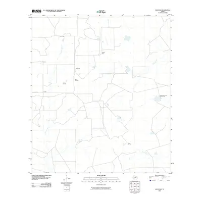
 2010 Brundage2010 Print · USGSCovers Dimmit County, including Brundage, United States, and other nearby areas
 - 2010 Map of Big Wells, 2010 Print
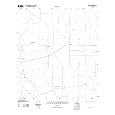
 2010 Big Wells2010 Print · USGSCovers Dimmit County, including Big Wells, United States, and other nearby areas
 - 2010 Map of MacDonald Lake, 2010 Print
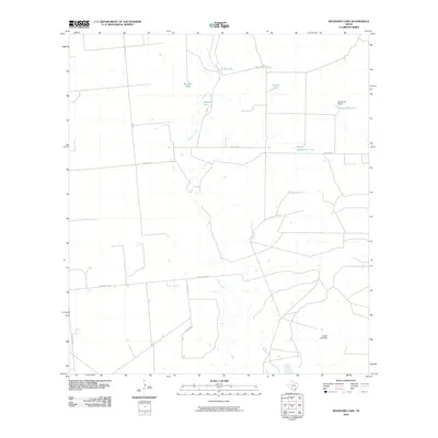
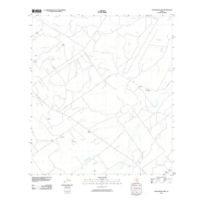 2010 MacDonald Lake2010 Print · USGSCovers Dimmit County, including United States, Texas, and other nearby areas
 - 2010 Map of Las Vegas, 2010 Print
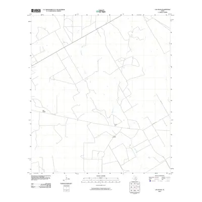 2010 Las Vegas2010 Print · USGSCovers Dimmit County, including Las Vegas, La Salle County, and other nearby areas
Showing maps 1-25 of 151
Top cities of Dimmit County
- Carrizo Springs historical maps
- Asherton historical maps
- Big Wells historical maps
- Catarina historical maps
Frequently asked questions
- What are the different types of historical maps available for Dimmit County?
- What is the oldest map of Dimmit County?
- Where can I purchase historical maps of Dimmit County for my home or office?
- Where can I download high-res historical maps of Dimmit County?
- Are there historical topographic maps available for Dimmit County?
- Is there historical aerial imagery available for Dimmit County?
- Where are historical maps of Dimmit County sourced from?