2000s (21st Century) Maps of Hamilton County, Texas
Explore 125 historic maps of Hamilton County from the 2000s (21st Century). These maps offer a rare glimpse into what life looked like during the 2000s — showing old roads, neighborhoods, homes, and landmarks that have changed or disappeared over time.
Whether you're researching your family's past, planning a metal detecting trip, or studying how Hamilton County's landscape evolved across the 2000s, these high-resolution maps are a powerful tool for exploring the history of this region.
- Focus on a specific era: All maps on this page are from the 2000s, giving you a focused view of this time period.
- See what’s changed: Compare century-old streets, trails, and buildings to today's modern landscape using overlays and satellite layers.
- Research with precision: Use these maps for genealogy, historical research, land use analysis, or educational projects.
- View, download, or print: Maps are fully viewable online in high resolution, and can be downloaded or printed for your own records.
Start exploring Hamilton County's history through authentic maps from the 2000s. This is your window into the past.
Hamilton County, TX maps
(125)- 2010 Map of Indian Gap, 2010 Print
 2010 Indian Gap2010 Print · USGSIndian Gap is captured at the start of the 2010s, revealing a Hamilton County landscape where quiet ranchlands meet modern energy interests. Genealogists and local historians can locate Saint Johns Cemetery and Spivey-Baxter Cemetery or trace the path of Cowhouse Creek.
 - 2010 Map of Pecan Wells, 2010 Print
 2010 Pecan Wells2010 Print · USGSHamilton County, Texas, is captured here in the early 2000s, showing a rural landscape defined by the Lampasas River. Local historians can trace family roots through the McGirk School and several rural burial sites like McGirk Cemetery and Ward Cemetery.
 - 2010 Map of Cranfills Gap, 2010 Print
 2010 Cranfills Gap2010 Print · USGSThe ranching and farming heritage of Bosque County is preserved in this study of the early twenty-first-century landscape. Genealogists can trace family landmarks like the John Pederson Farm and several burial sites, including the Luth Cemetery and Cranfills Gap Cemetery.
 - 2010 Map of Ater, 2010 Print
 2010 Ater2010 Print · USGSCoryell County settlement patterns and watercourses are preserved here as they appeared in the early twenty-first century. Genealogists and local historians can locate early burial sites like Weaver Chapel Cemetery and trace the rural surroundings of Pancake and Ater.
 - 2010 Map of Carlton, 2010 Print
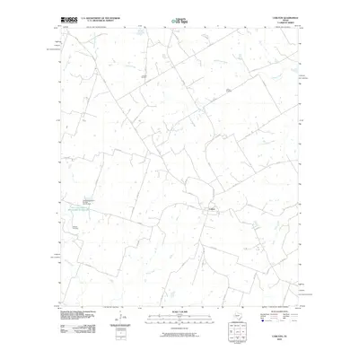 2010 Carlton2010 Print · USGSHamilton County ranching and farming lands are captured here at the start of the decade, centered on the community of Carlton. Genealogists and local historians can locate family burial sites at Turribow Cemetery, Altman Cemetery, and Midway Cemetery among the creek valleys.
 - 2010 Map of Caradan, 2010 Print
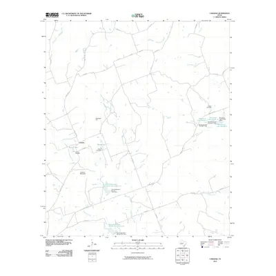 2010 Caradan2010 Print · USGSThe rural landscape around Caradan is captured here during a period of significant water management and conservation. Researchers can trace the drainage of the Lampasas River and locate family-named landmarks like Huckabee Hill and Stillwell Lake.
 - 2010 Map of Evant, 2010 Print
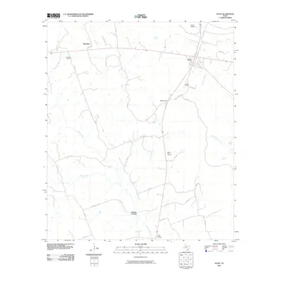 2010 Evant2010 Print · USGSEvant and the surrounding ranch lands are captured here in the early twenty-first century as the Lampasas River continues to shape the local geography. Researchers can locate several family-named burial sites including Langford Cemetery and Kingsbury Cemetery, or trace the path of Bennett Creek.
 - 2010 Map of Lamkin, 2010 Print
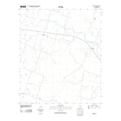 2010 Lamkin2010 Print · USGSComanche County rural life is captured here in the early twenty-first century, centered on the Leon River and the small community of Lamkin. Genealogists can trace family roots near Energy Cemetery and the settlements of Energy and Siloam.
 - 2010 Map of Ohio, 2010 Print
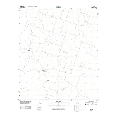 2010 Ohio2010 Print · USGSHamilton County rural life at the turn of the decade is defined by its creek crossings and country school sites. Local historians can trace the paths of Plum Creek and locate landmarks like Ballard Crossing, Ohio, and Saint Pauls School.
 - 2010 Map of Shive, 2010 Print
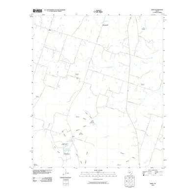 2010 Shive2010 Print · USGSHamilton County rural life in the early twenty-first century is centered around small crossroads like Shive and Schoolerville. Genealogists can locate several family burial grounds, including Perkins Cemetery and West Point Cemetery, among the hollows of Vista Mountain.
 - 2010 Map of Eidson Lake, 2010 Print
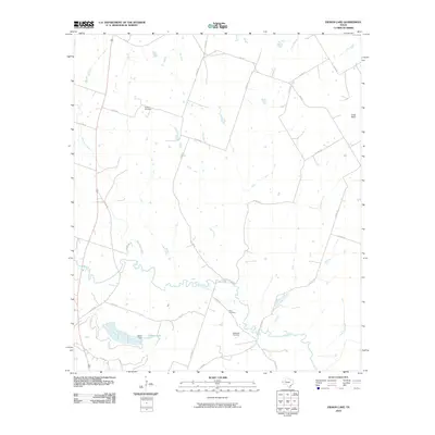 2010 Eidson Lake2010 Print · USGSHamilton County's river-bottom lands and upland pastures are surveyed here in the early twenty-first century. Genealogists and local historians can trace family roots at Peacher Cemetery, Gann Cemetery, or Massingill Cemetery and locate landmarks like Harris Dam on Eidson Lake.
 - 2010 Map of Fairy, 2010 Print
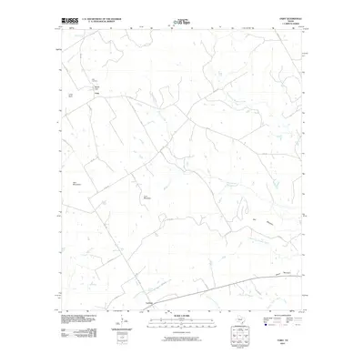 2010 Fairy2010 Print · USGSThe rural settlements of Fairy and Lanham are depicted in the early twenty-first century, surrounded by the distinctive peaks of Hamilton County. Researchers can trace local landmarks like Fairy Cemetery, Martin Gap, and the many branches of Meridian Creek.
 - 2010 Map of Camp Branch, 2010 Print
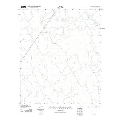 2010 Camp Branch2010 Print · USGSErath County ranchlands are documented here in the early twenty-first century, showing the enduring rural layout of central Texas. Genealogists and local historians can locate the Flanary Cemetery and trace the paths of Duffau Creek and the East Bosque River.
 - 2010 Map of Gentrys Mill, 2010 Print
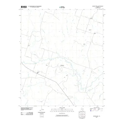 2010 Gentrys Mill2010 Print · USGSHamilton County, Texas, is mapped here in the early twenty-first century as a landscape of rural crossroads and river bottomlands. Genealogists can locate family burial sites at Tillinghouse Cemetery and Fegua Cemetery or trace the early settlement footprints of Sunshine and Springtown.
 - 2010 Map of Clairette, 2010 Print
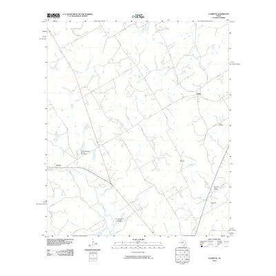 2010 Clairette2010 Print · USGSSettlement in rural Central Texas is centered on the communities of Clairette and Duffau during the first decade of the 21st century. Researchers can trace family-named sites and landmarks like Millerville Cemetery, Ray Smith Farm Airport, and the North Bosque River.
 - 2010 Map of Star, 2010 Print
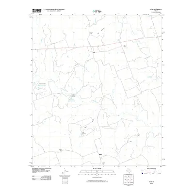 2010 Star2010 Print · USGSTexas ranching country in the early twenty-first century is defined here by its high points and water management. Researchers can trace family history at the Hurst Ranch Cemetery or locate specific property boundaries near McCasland Irrigation Lake and Star Mountain.
 - 2010 Map of Jonesboro, 2010 Print
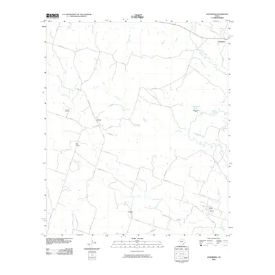 2010 Jonesboro2010 Print · USGSTexas ranching country and the rural settlements of Coryell County are documented here in the early twenty-first century. Researchers can locate family landmarks such as Willy Grubb Cemetery and trace the winding course of the Leon River near Jonesboro.
 - 2010 Map of Hico, 2010 Print
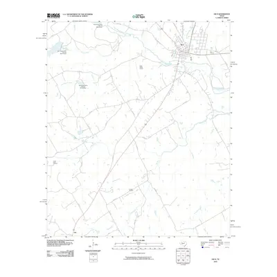 2010 Hico2010 Print · USGSHamilton County ranchlands and river crossings are well-documented here in the early twenty-first century. Genealogists can locate family burial sites at Hico Cemetery and Dry Fork Cemetery while tracing the rural landscape around Olin.
 - 2010 Map of Pottsville, 2010 Print
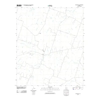 2010 Pottsville2010 Print · USGSPottsville and the surrounding Hamilton County countryside are captured here in the early twenty-first century. Genealogists and local historians can locate the Pottsville Cemetery and Immanuel Cemetery, or trace the winding paths of Cowhouse Creek and Gholson Creek.
 - 2010 Map of Hamilton East, 2010 Print
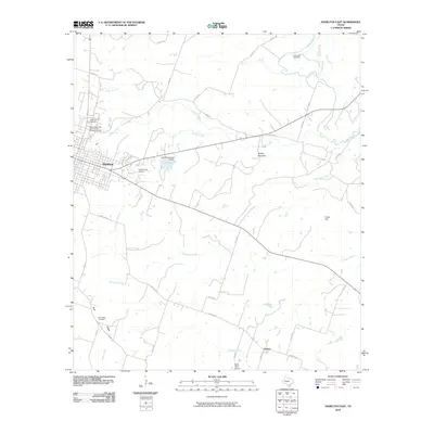 2010 Hamilton East2010 Print · USGSHamilton and the surrounding ranch lands of central Texas are captured here in the early twenty-first century. Genealogists can locate several historic burial sites, including the New Independent Order of Odd Fellows Cemetery and the remote Kirkendall Cemetery near the Leon River.
 - 2010 Map of Pearl, 2010 Print
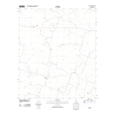 2010 Pearl2010 Print · USGSCoryell County at the start of the twenty-first century remains a landscape of quiet rural settlements and vital water sources. Genealogists and local historians can trace the foundations of Pearl and Bee House while locating family-named landmarks like Fletchers Point and Manos Spring.
 - 2010 Map of Spring Creek Gap, 2010 Print
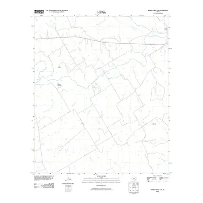 2010 Spring Creek Gap2010 Print · USGSTexas ranching country in the early twenty-first century remains defined by its winding waterways and ancestral grounds. Researchers can pinpoint Barbee Cemetery and Proffitt Cemetery, or trace the paths of the North Bosque River and Duffau Creek near Iredell.
 - 2010 Map of Cutoff Mountain, 2010 Print
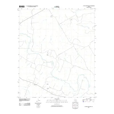 2010 Cutoff Mountain2010 Print · USGSHamilton County ranch lands and river bottoms are captured here during the first decade of the millennium. Researchers can locate family landmarks such as Evergreen School, Viertel Cemetery, and the old Whiteway settlement site.
 - 2010 Map of German Valley, 2010 Print
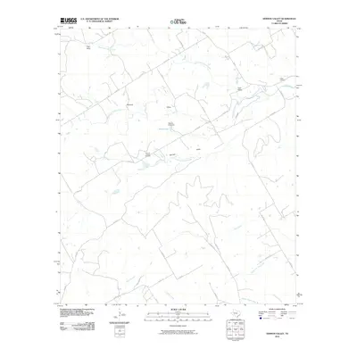 2010 German Valley2010 Print · USGSCoryell County at the turn of the twenty-first century reveals a landscape defined by the branching headwaters of the Neils Creek system. Genealogists can locate family landmarks at the German Valley Cemetery and Boggy Cemetery near the settlements of German and Stanford.
 - 2010 Map of Hamilton West, 2010 Print
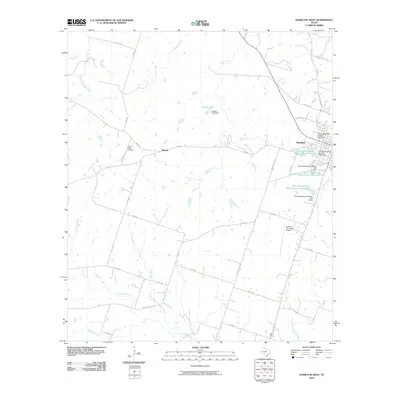 2010 Hamilton West2010 Print · USGSHamilton and the nearby settlement of Midway are shown at the start of the 2010s amidst a landscape of ranching and water management. Researchers can locate the Center Valley Cemetery and trace local waterways like Cowhouse Creek and Joseph Lake.
Showing maps 1-25 of 125
Top cities of Hamilton County
Frequently asked questions
- What are the different types of historical maps available for Hamilton County?
- What is the oldest map of Hamilton County?
- Where can I purchase historical maps of Hamilton County for my home or office?
- Where can I download high-res historical maps of Hamilton County?
- Are there historical topographic maps available for Hamilton County?
- Is there historical aerial imagery available for Hamilton County?
- Where are historical maps of Hamilton County sourced from?