Old Maps of Sargent, Texas for Genealogy
Trace your family roots with 18 historic maps of Sargent. These high-res maps reveal old neighborhoods, homesites, landmarks, and streets — helping you uncover where your ancestors lived and how the area evolved over time.
- Explore historic neighborhoods: Identify where your relatives may have lived in the 1800s or 1900s.
- Compare maps over time: Trace the changes in streets, buildings, and landmarks for multi-generational research.
- Perfect for genealogy & ancestry research: Used by family historians and researchers to map out lineage and migration.
These maps are an incredible resource for exploring your personal connection to Sargent's past.
Sargent, TX maps
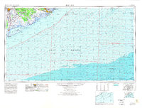
(18)- 1951 Map of Bay City
 1951 Bay City1951 Print · USGSThe mid-century Texas Gulf Coast comes to life in this survey of the delta region where the Brazos and Colorado Rivers meet the sea. Researchers can trace the industrial footprint of Freeport or locate family-named spots like Mangun and Hawkinsville.
 - 1952 Map of Cedar Lakes West, 1953 Print
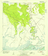
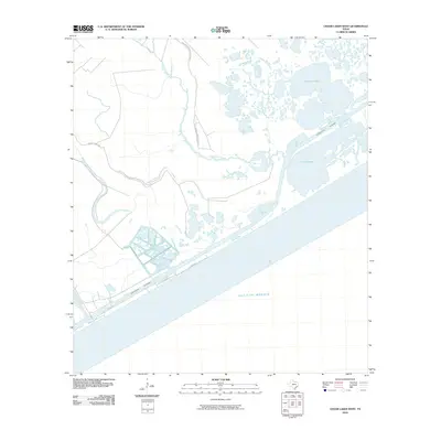
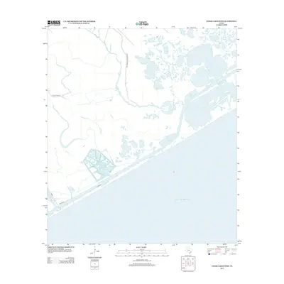
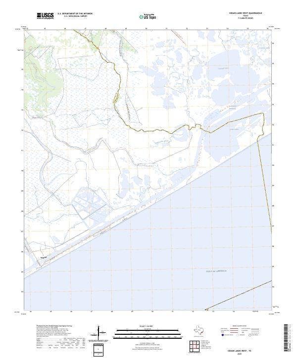
 1952 Cedar Lakes West1953 Print · USGSThe Matagorda and Brazoria county line met the Texas coast in the early fifties amidst a labyrinth of marshes and industrial canals. Trace the engineering of the Intracoastal Waterway and locate remote landmarks like the Pontoon Bridge and early coastal Oil Wells.4 unique versions available
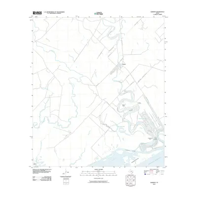
 - 1952 Map of Sargent, 1953 Print
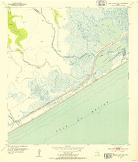
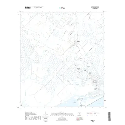
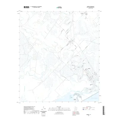
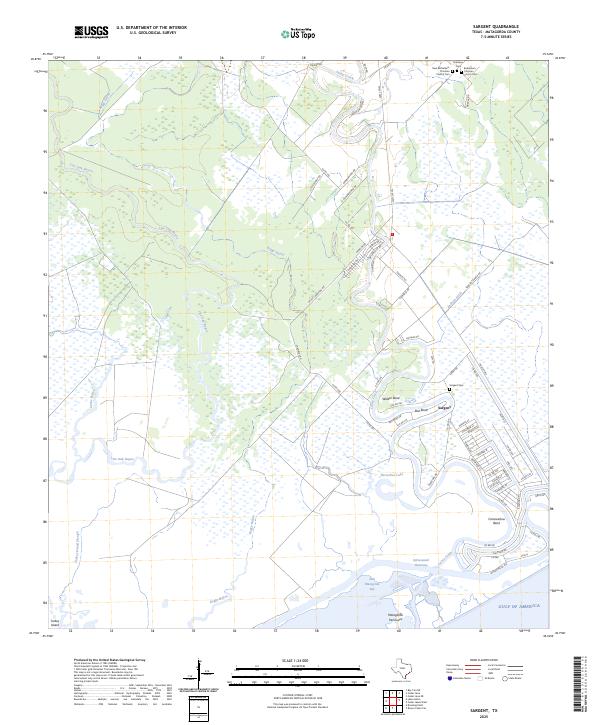
 1952 Sargent1953 Print · USGSThe Matagorda County coastline was a complex network of bayous and oil fields in the early fifties. Genealogists and local historians can trace the foundations of the Sargent community through landmarks like Sargent Cem and the Cedar Lakes Sch.4 unique versions available
 - 1956 Map of Bay City, 1964 Print
 1956 Bay City1964 Print · USGSThe Texas Gulf Coast comes into focus in the mid-1950s, showing the intricate bayous and coastal settlements from Bay City to Freeport. Researchers can trace the legacy of shoreline communities like Sargent, Matagorda Beach, and Hawkinsville before modern coastal changes.2 unique versions available
 - 1958 Map of Bay City
 1958 Bay City1958 Print · USGSThe Texas Gulf Coast in the late fifties shows a landscape of growing petrochemical plants and intricate wetlands. Genealogists and historians can trace the paths of the Missouri Pacific railroad through Bay City or locate old settlements like Hinkle Ferry and Hawkinsville.
 - 1974 Map of Bay City, 1978 Print
 1974 Bay City1978 Print · USGSThe Texas Gulf Coast in the mid-seventies reveals a landscape of sprawling wetlands and coastal transit hubs. Genealogists and historians can trace the rail corridors of the Missouri Pacific or locate early settlements like Wadsworth and Matagorda.
 - 2010 Map of Sargent, 2010 Print
 2010 Sargent2010 Print · USGSCovers Sargent, including Matagorda County, United States, and other nearby areas
 - 2010 Map of Cedar Lakes West, 2010 Print
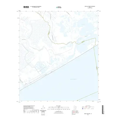
 2010 Cedar Lakes West2010 Print · USGSCovers Sargent, including Brazoria County, Matagorda County, and other nearby areas
 - 2013 Map of Sargent, 2013 Print
 2013 Sargent2013 Print · USGSCovers Sargent, including Matagorda County, United States, and other nearby areas
 - 2013 Map of Cedar Lakes West, 2013 Print
 2013 Cedar Lakes West2013 Print · USGSCovers Sargent, including Brazoria County, Matagorda County, and other nearby areas
 - 2016 Map of Cedar Lakes West, 2016 Print
 2016 Cedar Lakes West2016 Print · USGSCovers Sargent, including Brazoria County, Matagorda County, and other nearby areas
 - 2016 Map of Sargent, 2016 Print
 2016 Sargent2016 Print · USGSCovers Sargent, including Matagorda County, United States, and other nearby areas
 - 2019 Map of Sargent, 2019 Print
 2019 Sargent2019 Print · USGSCovers Sargent, including Matagorda County, United States, and other nearby areas
 - 2019 Map of Cedar Lakes West, 2019 Print
 2019 Cedar Lakes West2019 Print · USGSCovers Sargent, including Brazoria County, Matagorda County, and other nearby areas
 - 2022 Map of Cedar Lakes West, 2022 Print
 2022 Cedar Lakes West2022 Print · USGSCovers Sargent, including Brazoria County, Matagorda County, and other nearby areas
 - 2022 Map of Sargent, 2022 Print
 2022 Sargent2022 Print · USGSCovers Sargent, including Matagorda County, United States, and other nearby areas
 - 2025 Map of Cedar Lakes West, 2025 Print
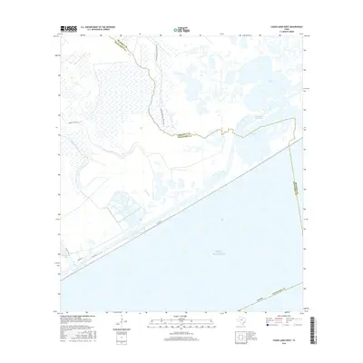
 2025 Cedar Lakes West2025 Print · USGSThe Matagorda County coast comes into focus in the mid-2020s, showing a landscape defined by the Intracoastal Waterway and the San Bernard Wildlife Refuge. Trace the roads and wetlands around Sargent or explore the hydrologic patterns of Cedar Lakes and Cowtrap Lake.
 - 2025 Map of Sargent, 2025 Print
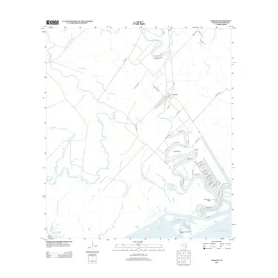
 2025 Sargent2025 Print · USGSCoastal Matagorda County comes into focus in this contemporary survey of the area surrounding the Intracoastal Waterway. Researchers can trace the winding course of Caney Creek to find established local sites like the Sargent Cem and Horseshoe Lake.
End of results
Showing maps 1-18 of 18
Top cities near Sargent
- Lake Jackson historical maps
- Freeport historical maps
- Clute historical maps
- Brazoria historical maps
- Jones Creek historical maps
Frequently asked questions
- What are the different types of historical maps available for Sargent?
- What is the oldest map of Sargent?
- Where can I purchase historical maps of Sargent for my home or office?
- Where can I download high-res historical maps of Sargent?
- Are there historical topographic maps available for Sargent?
- Is there historical aerial imagery available for Sargent?
- Where are historical maps of Sargent sourced from?