1900s (20th Century) Maps of Montgomery County, Texas
Explore 61 historic maps of Montgomery County from the 1900s (20th Century). These maps offer a rare glimpse into what life looked like during the 1900s — showing old roads, neighborhoods, homes, and landmarks that have changed or disappeared over time.
Whether you're researching your family's past, planning a metal detecting trip, or studying how Montgomery County's landscape evolved across the 1900s, these high-resolution maps are a powerful tool for exploring the history of this region.
- Focus on a specific era: All maps on this page are from the 1900s, giving you a focused view of this time period.
- See what’s changed: Compare century-old streets, trails, and buildings to today's modern landscape using overlays and satellite layers.
- Research with precision: Use these maps for genealogy, historical research, land use analysis, or educational projects.
- View, download, or print: Maps are fully viewable online in high resolution, and can be downloaded or printed for your own records.
Start exploring Montgomery County's history through authentic maps from the 1900s. This is your window into the past.
Montgomery County, TX maps
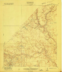
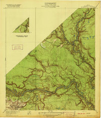
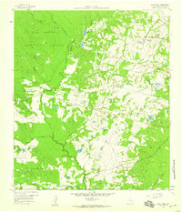
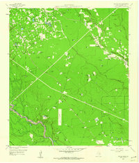
(61)- 1916 Map of Rose Hill
 1916 Rose Hill1916 Print · USGSCovers Montgomery County, including Houston, Tomball, and other nearby areas
 - 1916 Map of Moonshine Hill
 1916 Moonshine Hill1916 Print · USGSCovers Montgomery County, including Houston, Kingwood, and other nearby areas3 unique versions available
 - 1916 Map of Hockley
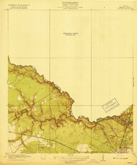
 1916 Hockley1916 Print · USGSCovers Montgomery County, including Houston, Hegar, and other nearby areas
 - 1916 Map of Spring
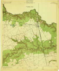
 1916 Spring1916 Print · USGSCovers Montgomery County, including Houston, The Woodlands, and other nearby areas3 unique versions available
 - 1919 Map of Weeden
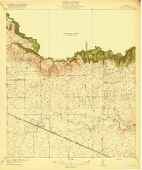
 1919 Weeden1919 Print · USGSCovers Montgomery County, including Houston, Humble, and other nearby areas2 unique versions available
 - 1920 Map of Spring
 1920 Spring1920 Print · USGSCovers Montgomery County, including Houston, The Woodlands, and other nearby areas2 unique versions available
 - 1920 Map of Hockley
 1920 Hockley1920 Print · USGSCovers Montgomery County, including Houston, Hegar, and other nearby areas3 unique versions available
 - 1920 Map of Rose Hill
 1920 Rose Hill1920 Print · USGSCovers Montgomery County, including Houston, Tomball, and other nearby areas
 - 1920 Map of Moonshine Hill
 1920 Moonshine Hill1920 Print · USGSCovers Montgomery County, including Houston, Kingwood, and other nearby areas2 unique versions available
 - 1954 Map of Beaumont, 1964 Print
 1954 Beaumont1964 Print · USGSCovers Montgomery County, including Houston, Beaumont, and other nearby areas3 unique versions available
 - 1957 Map of Beaumont
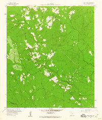
 1957 Beaumont1957 Print · USGSCovers Montgomery County, including Houston, Beaumont, and other nearby areas
 - 1958 Map of Conroe, 1959 Print
 1958 Conroe1959 Print · USGSCovers Montgomery County, including Conroe, Panorama Village, and other nearby areas5 unique versions available
 - 1958 Map of Cowl Spur, 1959 Print
 1958 Cowl Spur1959 Print · USGSCovers Montgomery County, including Conroe, Panorama Village, and other nearby areas4 unique versions available
 - 1958 Map of Fostoria, 1959 Print
 1958 Fostoria1959 Print · USGSCovers Montgomery County, including Cleveland, Splendora, and other nearby areas3 unique versions available
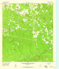
 - 1958 Map of Lake Paula, 1959 Print
 1958 Lake Paula1959 Print · USGSCovers Montgomery County, including Conroe, Willis, and other nearby areas3 unique versions available
 - 1958 Map of Bear Creek, 1960 Print
 1958 Bear Creek1960 Print · USGSCovers Montgomery County, including Bear Creek, Oak Grove, and other nearby areas3 unique versions available
 - 1959 Map of Plum Grove, 1960 Print
 1959 Plum Grove1960 Print · USGSCovers Montgomery County, including Roman Forest, Plum Grove, and other nearby areas3 unique versions available
 - 1959 Map of Moore Grove, 1960 Print
 1959 Moore Grove1960 Print · USGSCovers Montgomery County, including Moore Grove, Bath, and other nearby areas3 unique versions available
 - 1959 Map of Outlaw Pond, 1960 Print
 1959 Outlaw Pond1960 Print · USGSCovers Montgomery County, including Valley Ranch, Porter Heights, and other nearby areas3 unique versions available
 - 1959 Map of San Jacinto, 1960 Print
 1959 San Jacinto1960 Print · USGSCovers Montgomery County, including San Jacinto, Goshen, and other nearby areas4 unique versions available
 - 1959 Map of Cut and Shoot, 1960 Print
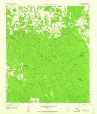
 1959 Cut and Shoot1960 Print · USGSCovers Montgomery County, including Cut and Shoot, Youens, and other nearby areas3 unique versions available
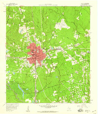
 - 1959 Map of Montgomery, 1960 Print
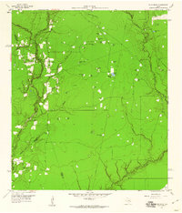
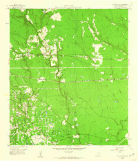
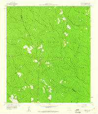
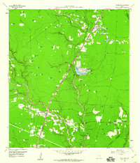
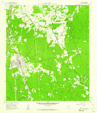
 1959 Montgomery1960 Print · USGSCovers Montgomery County, including Conroe, Montgomery, and other nearby areas4 unique versions available
 - 1959 Map of Conroe NE, 1960 Print
 1959 Conroe NE1960 Print · USGSCovers Montgomery County, including San Jacinto County, United States, and other nearby areas3 unique versions available
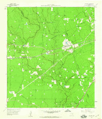
 - 1959 Map of Splendora, 1960 Print
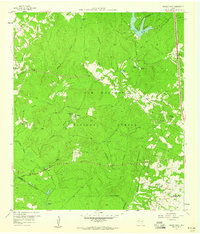
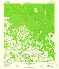
 1959 Splendora1960 Print · USGSCovers Montgomery County, including Roman Forest, Splendora, and other nearby areas4 unique versions available
 - 1960 Map of Willis, 1961 Print
 1960 Willis1961 Print · USGSCovers Montgomery County, including Conroe, Willis, and other nearby areas3 unique versions available
Showing maps 1-25 of 61
Top cities of Montgomery County
- The Woodlands historical maps
- Conroe historical maps
- Willis historical maps
- Oak Ridge North historical maps
- Roman Forest historical maps
- Panorama Village historical maps
See more
Frequently asked questions
- What are the different types of historical maps available for Montgomery County?
- What is the oldest map of Montgomery County?
- Where can I purchase historical maps of Montgomery County for my home or office?
- Where can I download high-res historical maps of Montgomery County?
- Are there historical topographic maps available for Montgomery County?
- Is there historical aerial imagery available for Montgomery County?
- Where are historical maps of Montgomery County sourced from?