2020s Maps of Montgomery County, Texas
Explore 30 historic maps of Montgomery County from the 2020s. These maps offer a rare glimpse into what life looked like during the 2020s — showing old roads, neighborhoods, homes, and landmarks that have changed or disappeared over time.
Whether you're researching your family's past, planning a metal detecting trip, or studying how Montgomery County's landscape evolved across the 2020s, these high-resolution maps are a powerful tool for exploring the history of this region.
- Focus on a specific era: All maps on this page are from the 2020s, giving you a focused view of this time period.
- See what’s changed: Compare century-old streets, trails, and buildings to today's modern landscape using overlays and satellite layers.
- Research with precision: Use these maps for genealogy, historical research, land use analysis, or educational projects.
- View, download, or print: Maps are fully viewable online in high resolution, and can be downloaded or printed for your own records.
Start exploring Montgomery County's history through authentic maps from the 2020s. This is your window into the past.
Montgomery County, TX maps
(30)- 2022 Map of Moore Grove, 2022 Print
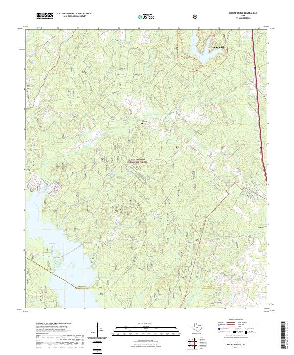 2022 Moore Grove2022 Print · USGSWalker County and the Sam Houston National Forest meet here in the early 2020s, showing a landscape defined by forest trails and the northern waters of Lake Conroe. Researchers can locate several historic burial grounds, including Bath Cem, East Sandy Cem, and Longstreet Cem.
 - 2022 Map of Rose Hill, 2022 Print
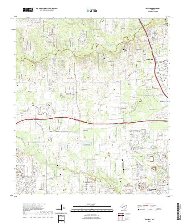 2022 Rose Hill2022 Print · USGSIn the northwestern outskirts of Houston during the early twenty-first century, this area balances residential growth with deep-rooted local history. Genealogists can locate numerous burial sites like Sander Cem, Zahn Cem, and Rose Hill Cem alongside the waters of Willow Cr.
 - 2022 Map of Plantersville, 2022 Print
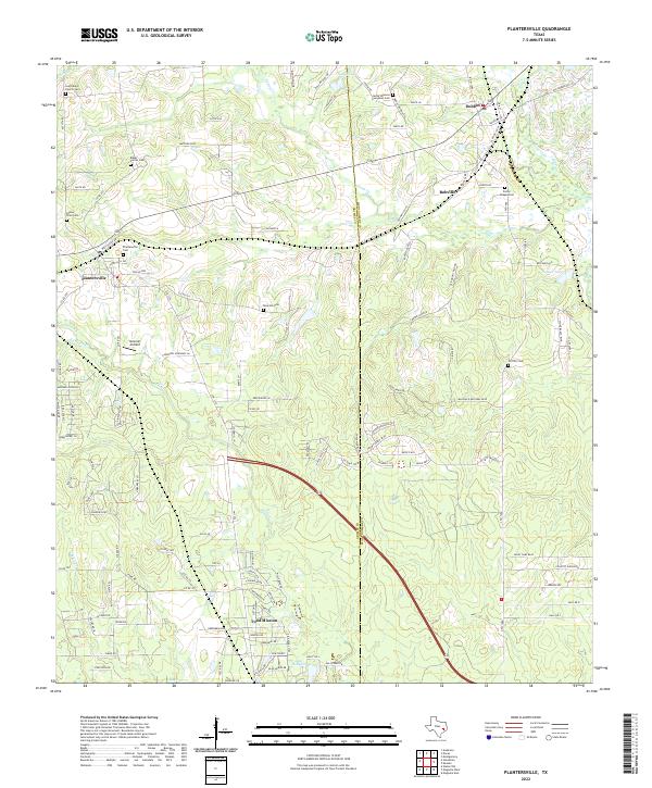 2022 Plantersville2022 Print · USGSThe Grimes and Montgomery county line comes into focus in this recent survey of the Texas piney woods. Genealogists and historians can trace numerous family and church burial sites, from Baker Family Cem to Porter Chapel Cem, alongside the community of Todd Mission.
 - 2022 Map of Maynard, 2022 Print
 2022 Maynard2022 Print · USGSSan Jacinto County in the early 2020s remains a landscape of deep timber and quiet rural crossroads. Genealogists and local historians can trace legacy family plots and community landmarks like Old Waverly Cem, Maynard, and the New Hope Missionary Baptist Church Cem.
 - 2022 Map of Loma, 2022 Print
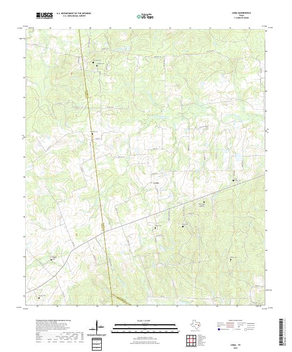 2022 Loma2022 Print · USGSThe rural crossroads around Loma and the Walker County line are documented in this recent survey. Genealogists and historians can trace numerous family and community sites including Foster Cem African American, Red Top Cem, and Midway Baptist Cem.
 - 2022 Map of Cut And Shoot, 2022 Print
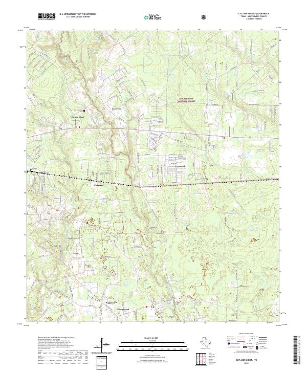 2022 Cut And Shoot2022 Print · USGSMontgomery County’s piney woods and established settlements are documented here in the early twenty-first century. Genealogists can trace family connections at New Bethlehem Cem or Pilgreen Cem and locate rural communities like Groceville and Waukegan.
 - 2022 Map of Fostoria, 2022 Print
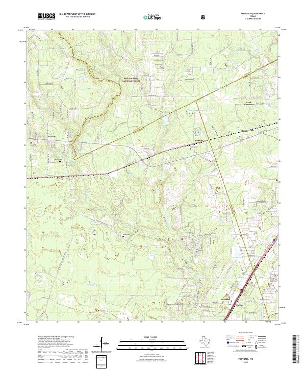 2022 Fostoria2022 Print · USGSThe Montgomery and San Jacinto county lines meet near the early twenty-first-century settlements of Fostoria and Security. Local historians can trace old family sites and rural landmarks through the Morgan Cem, Fostoria Cem, and the southern growth around Splendora.
 - 2022 Map of Montgomery, 2022 Print
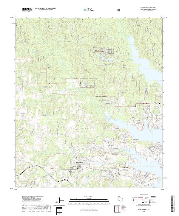 2022 Montgomery2022 Print · USGSMontgomery and the western shores of Lake Conroe are captured in the early 2020s as suburban growth meets the Texas Piney Woods. Genealogists can locate family sites at the Old Methodist Church or Mount Pleasant Cem, while explorers trace the creeks of the Sam Houston National Forest.
 - 2022 Map of Richards, 2022 Print
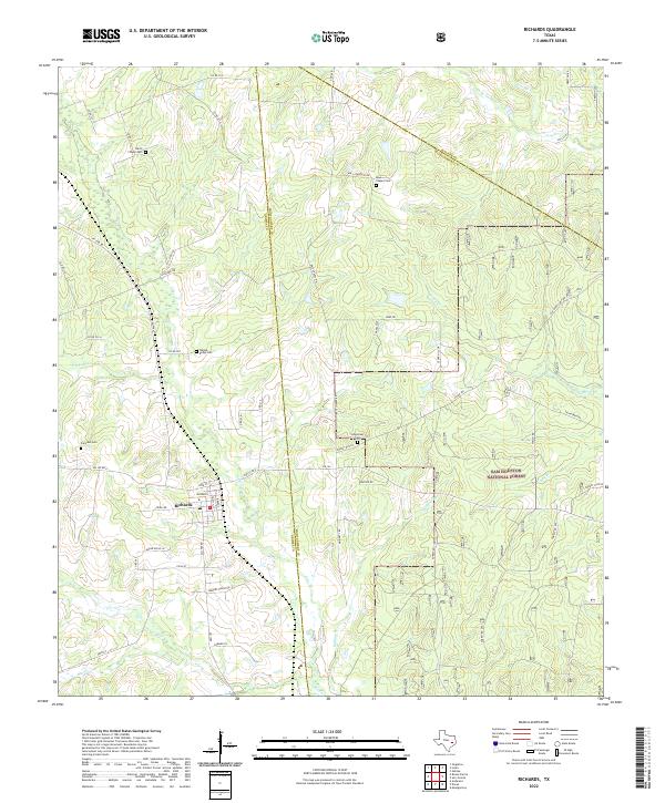 2022 Richards2022 Print · USGSRichards and the western edge of the Piney Woods are captured in this modern survey. Genealogists can trace family burial sites at Fairview Cem and David Chapel Cem while exploring the reach of the Sam Houston National Forest.
 - 2022 Map of Keenan, 2022 Print
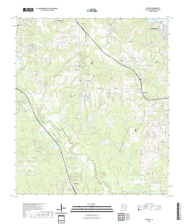 2022 Keenan2022 Print · USGSWest of Conroe in the early twenty-first century, this area of Montgomery County maintains a dense network of historic family cemeteries and private lakes. Genealogists can locate Saint Beulah Cem, Keenan Cem, and the Womack Cem while tracing drainage patterns along Mound Cr.
 - 2022 Map of Willis, 2022 Print
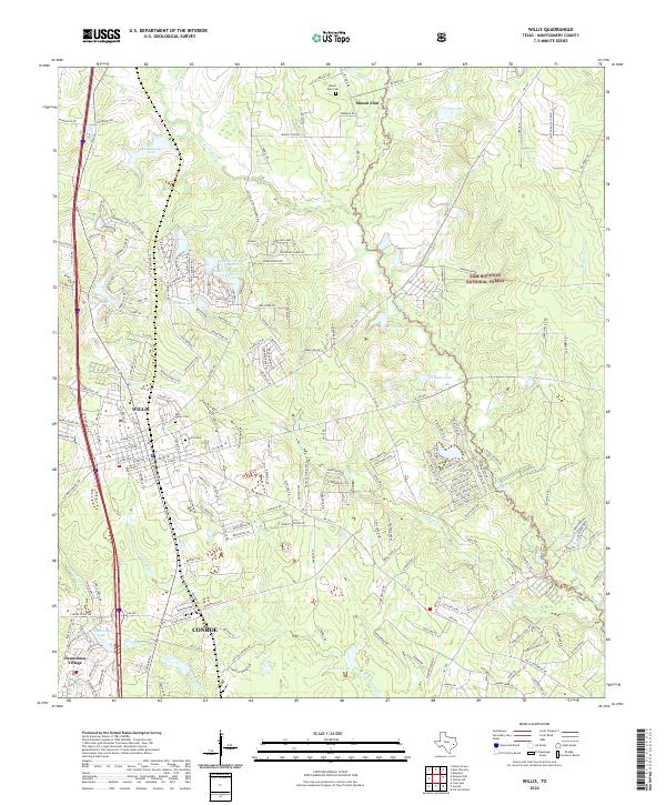 2022 Willis2022 Print · USGSThe piney woods north of Houston are captured here during a period of suburban expansion into the Sam Houston National Forest. Genealogists can locate Willis Cem and Rest Haven Cem, while water-history researchers can trace the developed shorelines of Panorama Lake and Frontier Lake.
 - 2022 Map of Conroe NE, 2022 Print
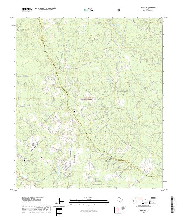 2022 Conroe NE2022 Print · USGSThe Piney Woods of East Texas are captured here in the early twenty-first century, showing the intersection of forest lands and rural homesteads. Trace family history at New Salem Cem or County Line Cem and explore the creeks surrounding Andrews Lake.
 - 2022 Map of Bear Creek, 2022 Print
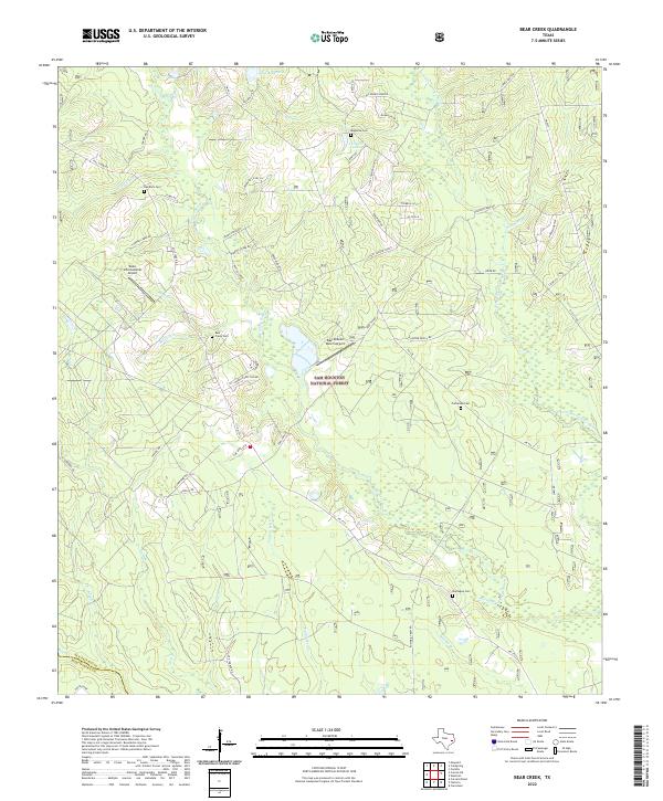 2022 Bear Creek2022 Print · USGSSan Jacinto County and the northern reaches of Montgomery County are shown here in the 2020s, dominated by the timberlands of the Sam Houston National Forest. Genealogists can locate family burial grounds like Purkerson Cem and Red Rock Cem among the many forks of Winters Bayou.
 - 2022 Map of New Waverly, 2022 Print
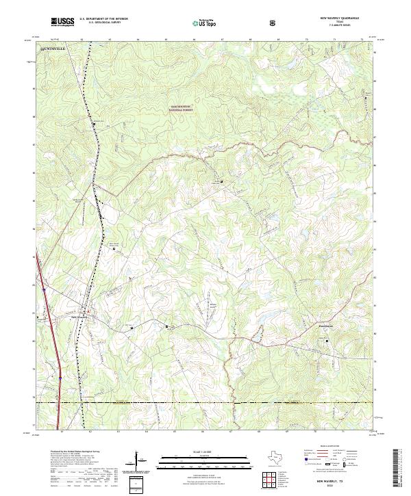 2022 New Waverly2022 Print · USGSNew Waverly and the surrounding piney woods are captured here in the early 2020s as modern transit and rural tradition meet. Genealogists and local researchers can trace numerous legacy burial sites including Mitchell Cem, Gourd Creek Cem, and Jasper Cem.
 - 2022 Map of Dacus, 2022 Print
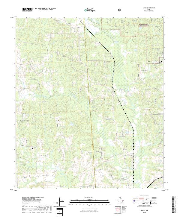 2022 Dacus2022 Print · USGSGrimes and Montgomery counties meet in this 2020s landscape characterized by the dense woodlands of the Sam Houston National Forest. Genealogists can locate family burial sites such as Smith - Floyd Cemetery and Waller Cemetery near the community of Dacus.
 - 2022 Map of Cowl Spur, 2022 Print
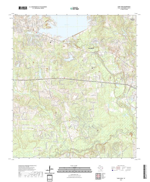 2022 Cowl Spur2022 Print · USGSThe Montgomery County landscape just west of Conroe comes alive in this survey, showcasing a mix of suburban growth and traditional landmarks. Genealogists can locate family burial sites at Copeland Chapel Cem and Sapp Cem or trace property near Honea.
 - 2022 Map of Hockley, 2022 Print
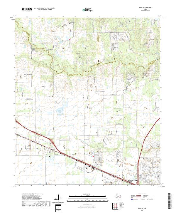 2022 Hockley2022 Print · USGSNorthwest of Houston in the 2020s, this area reflects a landscape of deep-rooted family history and modern suburban growth. Genealogists can locate numerous burial sites like the Roberts Cem African American and Leverkuhn Family Cem near Hegar Brothers Lake.
 - 2022 Map of Conroe, 2022 Print
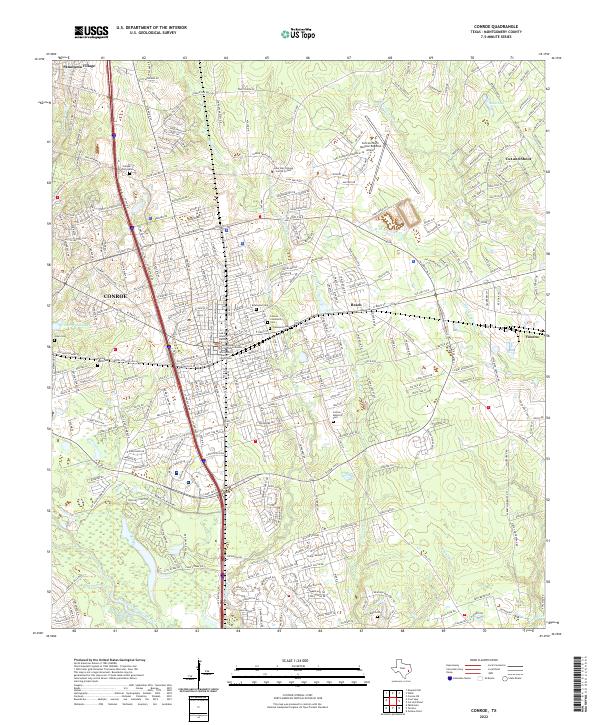 2022 Conroe2022 Print · USGSMontgomery County is shown in detail during the early 2020s, centered on the growing hub of Conroe. Genealogists can locate family sites at Oakwood Cem and Jones Cem or trace the civic center near the Montgomery County Courthouse.
 - 2022 Map of Maedan, 2022 Print
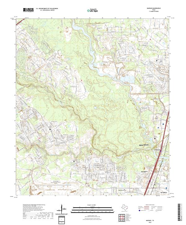 2022 Maedan2022 Print · USGSGreater Houston and Humble appear in the early 2020s, showing the intersection of the San Jacinto River basin with massive suburban growth. Genealogists can locate several local burial sites like Stewart-Prater Cem or the Humble Pipeyard Cem amid modern developments.
 - 2022 Map of Shepard Hill, 2022 Print
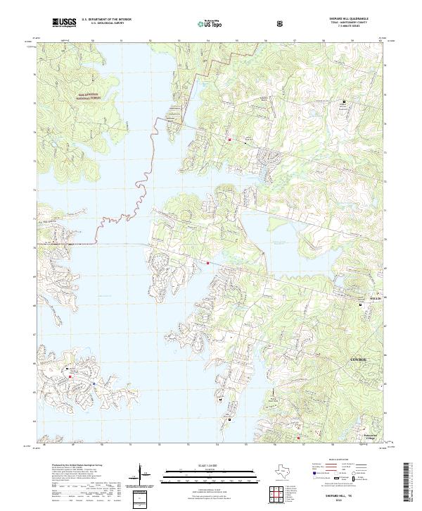 2022 Shepard Hill2022 Print · USGSThe northern edge of the Conroe area meets the dense timber of the Sam Houston National Forest in this recent survey. Researchers can trace family history at Cude Cem and New Home Cem or locate landmarks like Flying Hare Field.
 - 2022 Map of San Jacinto, 2022 Print
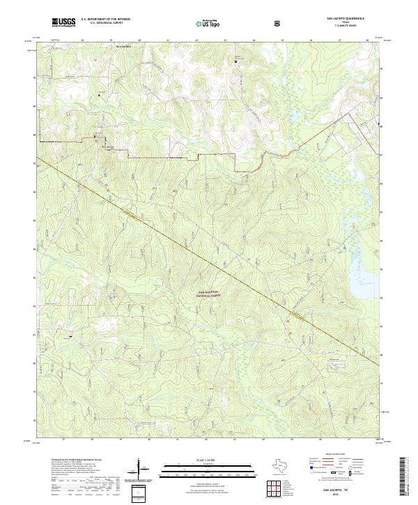 2022 San Jacinto2022 Print · USGSThe dense woodlands of Montgomery and Walker counties come into focus in the early 2020s. Researchers can trace rural lineages through family landmarks like Lee Cem and Mount Prairie Cem or navigate the shoreline of Lake Conroe.
 - 2022 Map of Moonshine Hill, 2022 Print
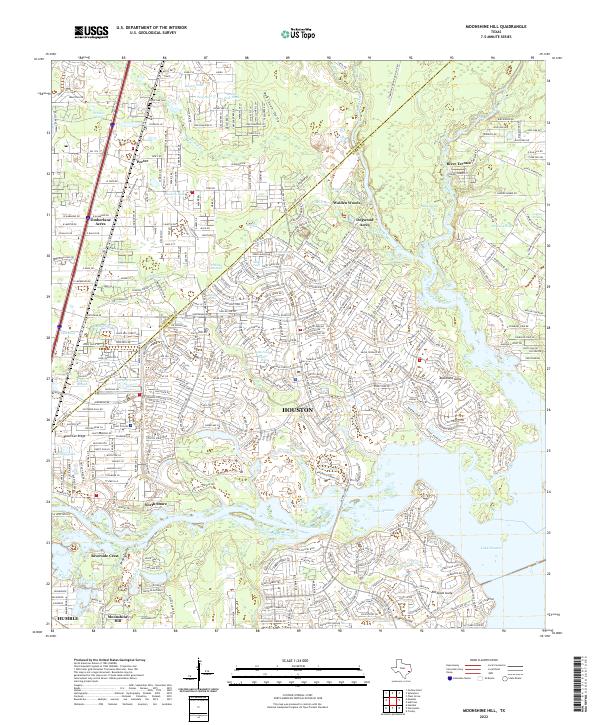 2022 Moonshine Hill2022 Print · USGSThe northeastern outskirts of Houston are captured here in the early 2020s, showing the dense suburban development surrounding the San Jacinto River. Genealogists and historians can trace family locations near Moonshine Hill, Porter, and the White Oak Cem.
 - 2022 Map of Oklahoma, 2022 Print
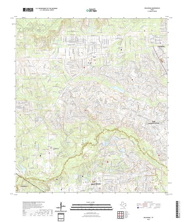 2022 Oklahoma2022 Print · USGSSuburban expansion meets deep-rooted community history in Montgomery County during the early twenty-first century. Genealogists can trace several historic burial sites, including Oklahoma Cemetery, McCall Cemetery, and the Barlow Cemetery near Tomball.
 - 2022 Map of Outlaw Pond, 2022 Print
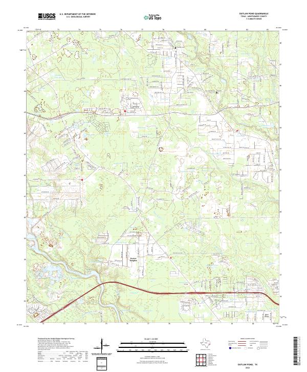 2022 Outlaw Pond2022 Print · USGSMontgomery County's landscape near Porter Heights shows a transition from rural family homesteads to modern development. Genealogists and local historians can trace legacy sites like Freeman Cem, Vick Cem, and water landmarks like Outlaw Pond.
 - 2022 Map of Magnolia East, 2022 Print
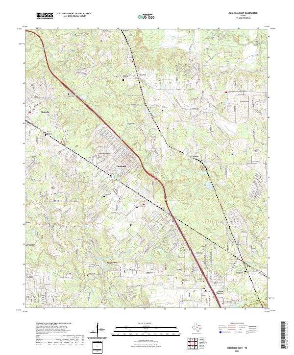 2022 Magnolia East2022 Print · USGSSoutheast Texas at the start of the 2020s shows a landscape of growing communities and established family histories. Genealogists can trace local lineages through numerous sites like Cartwright Cem, Goodson Cem, and the Weaver Cem near Decker Prairie.
Showing maps 1-25 of 30
Top cities of Montgomery County
- The Woodlands historical maps
- Conroe historical maps
- Willis historical maps
- Oak Ridge North historical maps
- Roman Forest historical maps
- Panorama Village historical maps
See more
Frequently asked questions
- What are the different types of historical maps available for Montgomery County?
- What is the oldest map of Montgomery County?
- Where can I purchase historical maps of Montgomery County for my home or office?
- Where can I download high-res historical maps of Montgomery County?
- Are there historical topographic maps available for Montgomery County?
- Is there historical aerial imagery available for Montgomery County?
- Where are historical maps of Montgomery County sourced from?