2010s Maps of Montgomery County, Texas
Explore 120 historic maps of Montgomery County from the 2010s. These maps offer a rare glimpse into what life looked like during the 2010s — showing old roads, neighborhoods, homes, and landmarks that have changed or disappeared over time.
Whether you're researching your family's past, planning a metal detecting trip, or studying how Montgomery County's landscape evolved across the 2010s, these high-resolution maps are a powerful tool for exploring the history of this region.
- Focus on a specific era: All maps on this page are from the 2010s, giving you a focused view of this time period.
- See what’s changed: Compare century-old streets, trails, and buildings to today's modern landscape using overlays and satellite layers.
- Research with precision: Use these maps for genealogy, historical research, land use analysis, or educational projects.
- View, download, or print: Maps are fully viewable online in high resolution, and can be downloaded or printed for your own records.
Start exploring Montgomery County's history through authentic maps from the 2010s. This is your window into the past.
Montgomery County, TX maps
(120)- 2010 Map of Keenan, 2010 Print
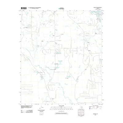 2010 Keenan2010 Print · USGSThe rural landscape west of Conroe comes into focus during this period of early 21st-century growth. Genealogists and historians can trace family locations near Keenan and Karen, or locate the Womack Cemetery and Rabon Cartwright Cemetery among the area's many small lakes.
 - 2010 Map of Outlaw Pond, 2010 Print
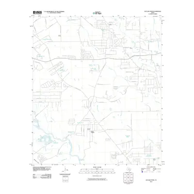 2010 Outlaw Pond2010 Print · USGSMontgomery County was experiencing steady rural and suburban growth north of the San Jacinto River during the first decade of the millennium. Researchers can trace local landmarks like Vick Cemetery, the Conroe Oil Field, and the residential pocket of Porter Heights.
 - 2010 Map of Plantersville, 2010 Print
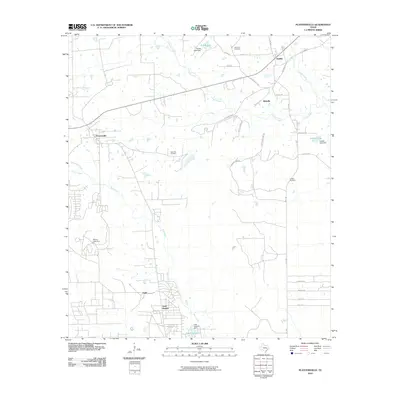 2010 Plantersville2010 Print · USGSGrimes County at the turn of the decade reveals a blend of traditional Texas settlements and newer rural developments. Researchers can trace family history at Rose Hill Cemetery or explore the geography of Todd Mission, Bobville, and Dobbin Lake.
 - 2010 Map of Conroe, 2010 Print
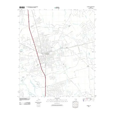 2010 Conroe2010 Print · USGSThe city of Conroe is shown during a period of modern growth, centered between the West Fork San Jacinto River and its northern tributaries. Researchers can trace local history through the Conroe Townsite Oil Field and numerous burial sites like Oakwood Cemetery.
 - 2010 Map of Plum Grove, 2010 Print
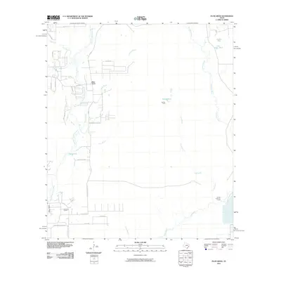 2010 Plum Grove2010 Print · USGSSoutheastern Texas in the early 2000s reveals a landscape defined by the East Fork San Jacinto River and its dense network of bayous. Trace family roots and local landmarks around Plum Grove, High Top Camp, and the waters of Sallas Lake.
 - 2010 Map of Hockley, 2010 Print
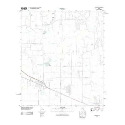 2010 Hockley2010 Print · USGSNorthwest of Houston during the early twenty-first century, this area shows a landscape defined by historic settlements and ranching roots. Genealogists and local historians can trace family ties at Macedonia Cemetery or explore the area near Hegar and Biggin Hill Airport.
 - 2010 Map of Magnolia East, 2010 Print
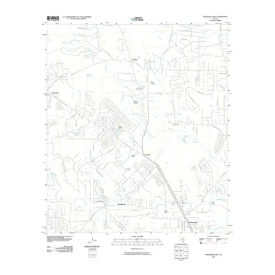 2010 Magnolia East2010 Print · USGSThe Pinehurst and Magnolia areas of southeast Texas show a landscape of growing residential districts and persistent oil heritage. Genealogists and local historians can trace family ties at Tillis Prairie Cemetery or Corgey Cemetery and locate the Pinehurst Gas and Oil Field.
 - 2010 Map of Magnolia West, 2010 Print
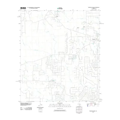 2010 Magnolia West2010 Print · USGSMagnolia and the surrounding Montgomery County landscape are captured here during a period of residential growth in the early 2000s. Researchers can locate the Old Sanders Cemetery or trace the early settlement at Fetzer and the hydrology of Walnut Creek.
 - 2010 Map of Oklahoma, 2010 Print
 2010 Oklahoma2010 Print · USGSSoutheastern Texas at the start of the new millennium shows a rapidly developing landscape of residential communities and active energy production. Researchers can trace family history at Pate Cemetery or locate industrial sites like the Hufsmith East Oil Field near Egypt.
 - 2010 Map of Loma, 2010 Print
 2010 Loma2010 Print · USGSWalker County at the start of the decade reveals a quiet landscape of river bends and scattered rural settlements. Genealogists and local historians can locate several family burial grounds including McCowan Cemetery, Foster Cemetery, and Red Top Cemetery.
 - 2010 Map of Rose Hill, 2010 Print
 2010 Rose Hill2010 Print · USGSNorthwest Harris County is shown in a state of transition during the 2010s as traditional ranching and oil production meet suburban growth. Genealogists can locate several historic burial grounds like Saint John Cemetery and Rose Hill Cemetery alongside landmarks like May Airport.
 - 2010 Map of Cowl Spur, 2010 Print
 2010 Cowl Spur2010 Print · USGSMontgomery County at the start of the 2010s shows a complex network of man-made lakes and oil production sites. Researchers can trace local lineage and land use through Coplan Chapel Cemetery and the West Conroe Oil Field.
 - 2010 Map of Spring, 2010 Print
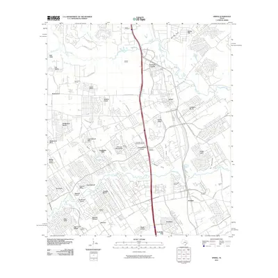 2010 Spring2010 Print · USGSNorthern Harris County is shown at a peak of suburban expansion during the early twenty-first century. Genealogists can locate several family cemeteries, including Spring Cemetery, while aviation enthusiasts can find the Goodyear Airship Operations Airport.
 - 2010 Map of Tamina, 2010 Print
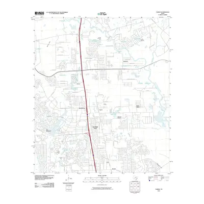 2010 Tamina2010 Print · USGSMontgomery County was undergoing rapid suburban transformation as the new millennium progressed. Trace the evolving boundaries of The Woodlands and Shenandoah or locate family history at the Tamina Cemetery and Rayford Oil Field.
 - 2010 Map of Splendora, 2010 Print
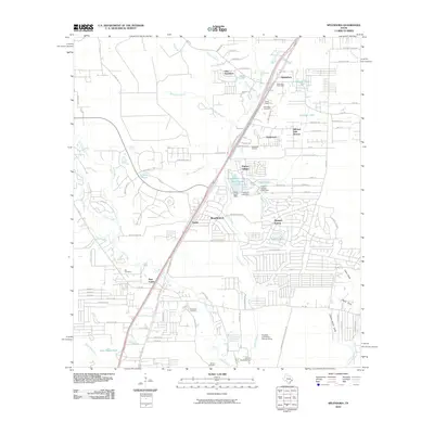 2010 Splendora2010 Print · USGSMontgomery County in the early twenty-first century shows a landscape where industrial footprints and community centers meet. Researchers can find many family burial sites like Mizell Cemetery and Robinson Cemetery alongside the Splendora Oil Field.
 - 2010 Map of Moonshine Hill, 2010 Print
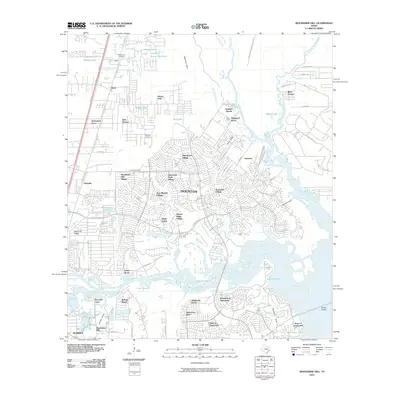 2010 Moonshine Hill2010 Print · USGSThe northeast Houston suburbs and the San Jacinto River are captured here during a period of rapid growth in the early twenty-first century. Genealogists and local historians can trace residential expansion across Bear Branch Village, locate White Oak Cemetery, or explore the namesake Moonshine Hill.
 - 2010 Map of Maedan, 2010 Print
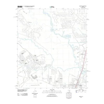 2010 Maedan2010 Print · USGSGreater Houston’s northern suburbs are shown here in a decade of rapid expansion, where aviation and nature converge. Genealogists and local historians can trace the growth of Humble and Kingwood, or find specific residential sites in Bordersville and Post Wood.
 - 2010 Map of Montgomery, 2010 Print
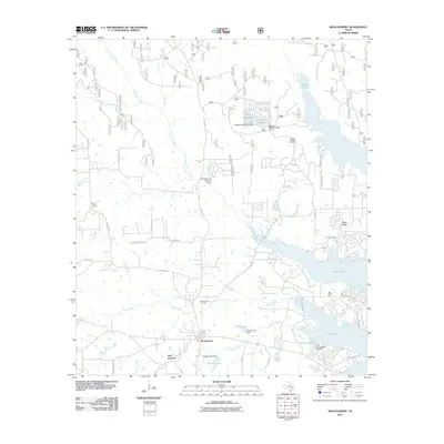 2010 Montgomery2010 Print · USGSMontgomery and the surrounding county landscape are captured here in the early twenty-first century as suburban expansion met traditional ranching. Local historians can trace family sites at Montgomery Cemetery or Mount Pleasant Cemetery and locate landmarks like the Peel Cabin near Lake Paula.
 - 2010 Map of Willis, 2010 Print
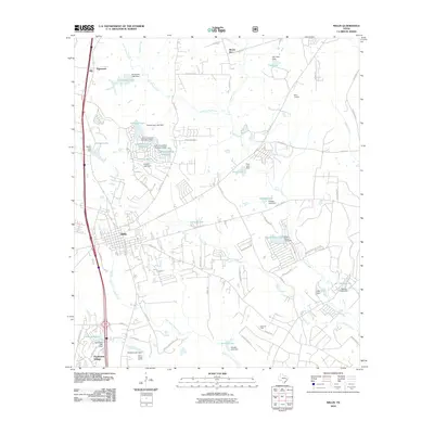 2010 Willis2010 Print · USGSThe town of Willis and the surrounding piney woods are shown here during a period of significant suburban growth north of Conroe. Researchers can trace family-named roads and landmarks like Mount Zion, the Pitts Gas Field, and the lakeside community of Panorama Village.
 - 2010 Map of San Jacinto, 2010 Print
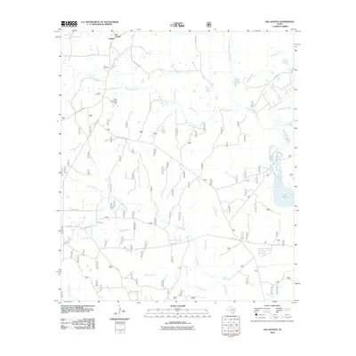 2010 San Jacinto2010 Print · USGSThe East Texas woodlands near Goshen and San Jacinto are mapped here in the early 21st century. Genealogists and hikers can locate Lee Cemetery, Farris Cemetery, and the lookout at Pool Lookout among the creeks.
 - 2010 Map of Richards, 2010 Print
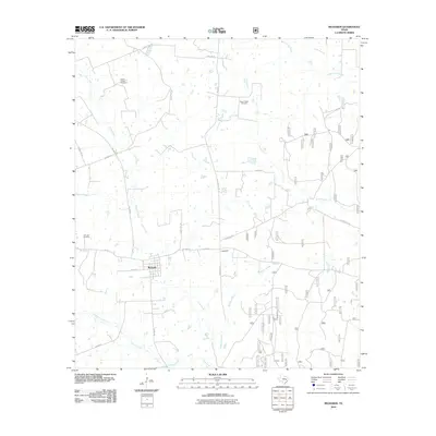 2010 Richards2010 Print · USGSRichards and the surrounding Grimes County countryside appear in the early twenty-first century as a landscape of rural roads and creek branches. Family historians can trace local roots at David Chapel Cemetery or Fairview Cemetery and locate homes near Longstreet.
 - 2010 Map of Shepard Hill, 2010 Print
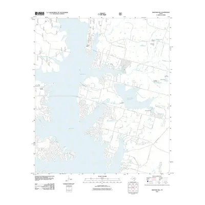 2010 Shepard Hill2010 Print · USGSIn the Conroe area during the late 2000s, this landscape shows a transition between traditional Texas industry and growing lakeside communities. Trace family landmarks and local sites like Shepard Cemetery, the Willis Oil Field, and Lake Paula.
 - 2010 Map of Bear Creek, 2010 Print
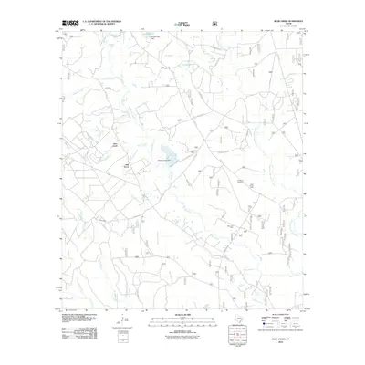 2010 Bear Creek2010 Print · USGSSan Jacinto County at the turn of the decade is shown here as a landscape of bayous and rural outposts. Local historians can trace family locations near Purkerson Cemetery or explore the geography of the Mercy Oil Field and the Shell Hunter Camp.
 - 2010 Map of Dacus, 2010 Print
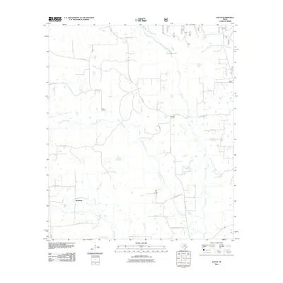 2010 Dacus2010 Print · USGSMontgomery County was characterized by quiet rural settlements and winding creeks in the years following the turn of the millennium. Genealogists can trace family connections at Bethel Cemetery, Waller Cemetery, and Post Oak Cemetery or locate the historic center of Dacus.
 - 2010 Map of Conroe NE, 2010 Print
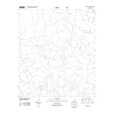 2010 Conroe NE2010 Print · USGSMontgomery County in the early 2000s remains a landscape of winding creeks and rural homesteads. Genealogists and local historians can trace family properties near Nebletts Hunter Camp, Steep Hollow, and the waters of McRae Lake.
Showing maps 1-25 of 120
Top cities of Montgomery County
- The Woodlands historical maps
- Conroe historical maps
- Willis historical maps
- Oak Ridge North historical maps
- Roman Forest historical maps
- Panorama Village historical maps
See more
Frequently asked questions
- What are the different types of historical maps available for Montgomery County?
- What is the oldest map of Montgomery County?
- Where can I purchase historical maps of Montgomery County for my home or office?
- Where can I download high-res historical maps of Montgomery County?
- Are there historical topographic maps available for Montgomery County?
- Is there historical aerial imagery available for Montgomery County?
- Where are historical maps of Montgomery County sourced from?