
1959 Map of Conroe NE
USGS Topo · Published 1960About this map
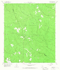
The Sam Houston National Forest dominates this landscape, showing a heavily wooded terrain intersected by numerous tributaries of the West Fork San Jacinto River. During the late 1950s, the area's timber and resource history is evident in the presence of an Old Railroad Grade and several dispersed Gravel Pits and Oil Wells. Small rural communities are defined by their landmarks, such as Salem Ch, China Grove Ch, and County Line Ch, which serve as the primary social anchors for residents in this part of San Jacinto Co and Montgomery Co.
Find a feature on this map
30 named features on this map. Tap any name to fly to it.
Don’t see what you’re looking for? This feature index may not catch every label — zoom into the map to look around manually.
Map Details
Editions of this 1959 Conroe NE Map
3 editions found
Other maps of this area

1954 · Beaumont
USGS Topo · 1:250,000

1957 · Beaumont
USGS Topo · 1:250,000

1958 · Conroe
USGS Topo · 1:24,000

1958 · Fostoria
USGS Topo · 1:24,000

1958 · Bear Creek
USGS Topo · 1:24,000

1959 · Cut and Shoot
USGS Topo · 1:24,000

1960 · Willis
USGS Topo · 1:24,000

1960 · Maynard
USGS Topo · 1:24,000

1960 · New Waverly
USGS Topo · 1:24,000

1960 · Coldspring
USGS Topo · 1:24,000