2020s Maps of Moore County, Texas
Explore 30 historic maps of Moore County from the 2020s. These maps offer a rare glimpse into what life looked like during the 2020s — showing old roads, neighborhoods, homes, and landmarks that have changed or disappeared over time.
Whether you're researching your family's past, planning a metal detecting trip, or studying how Moore County's landscape evolved across the 2020s, these high-resolution maps are a powerful tool for exploring the history of this region.
- Focus on a specific era: All maps on this page are from the 2020s, giving you a focused view of this time period.
- See what’s changed: Compare century-old streets, trails, and buildings to today's modern landscape using overlays and satellite layers.
- Research with precision: Use these maps for genealogy, historical research, land use analysis, or educational projects.
- View, download, or print: Maps are fully viewable online in high resolution, and can be downloaded or printed for your own records.
Start exploring Moore County's history through authentic maps from the 2020s. This is your window into the past.
Moore County, TX maps
(30)- 2022 Map of Exum, 2022 Print
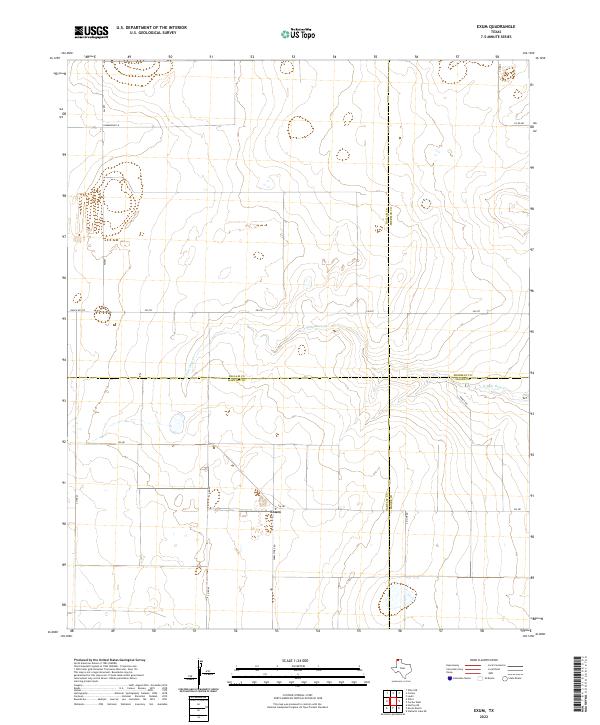 2022 Exum2022 Print · USGSThe high plains of the Texas Panhandle are captured here at the junction of four counties near Exum. Genealogists and researchers can trace rural land divisions along N Palo Duro Cr and follow local routes like Summerour Ln and Ranch Rd 297.
 - 2022 Map of Sunray, 2022 Print
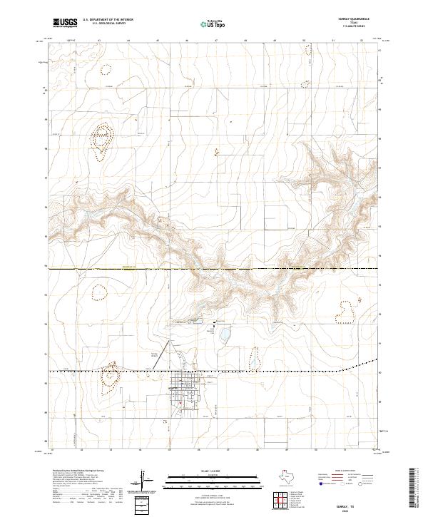 2022 Sunray2022 Print · USGSThe Texas Panhandle town of Sunray is shown here in the early twenty-first century, anchored by its grid of streets south of the Moore county line. Researchers can locate Lane Memorial Cem, Brown Cem, and the canyon breaks of N Palo Duro Cr.
 - 2022 Map of Cactus East, 2022 Print
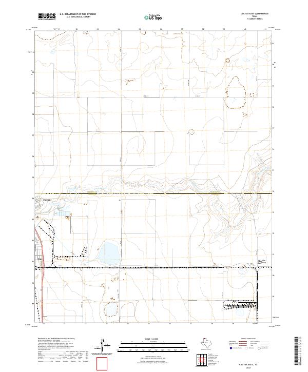 2022 Cactus East2022 Print · USGSThe northern Panhandle comes into focus in this recent survey of the Sherman and Moore County line. Researchers can trace the industrial and rural development of Cactus, Etter, and Sheerin Junction along the banks of N Palo Duro Cr.
 - 2022 Map of Capps Switch, 2022 Print
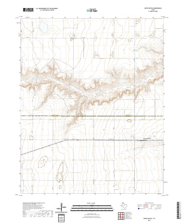 2022 Capps Switch2022 Print · USGSThe High Plains borderlands of Sherman and Moore counties are captured here in the early twenty-first century, showing a landscape defined by deep creek breaks and remote ranch roads. Genealogists and local historians can trace the rural layout around Capps Switch and follow the rugged path of N Palo Duro Cr through the surrounding plains.
 - 2022 Map of Capps Switch SE, 2022 Print
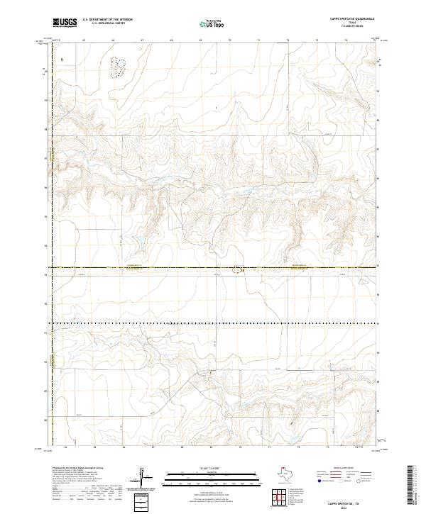 2022 Capps Switch SE2022 Print · USGSThe Texas Panhandle's wide-open ranch lands are documented here in the early twenty-first century as they span the meeting point of four counties. Researchers can trace the winding paths of N Palo Duro Cr and S Palo Duro Cr as they cut through the rural grid of Fm 281 and Co Rd A.
 - 2022 Map of Cactus West, 2022 Print
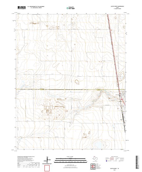 2022 Cactus West2022 Print · USGSThe Texas Panhandle at the junction of Moore and Sherman Counties reveals a landscape of industrial agriculture. Trace the residential growth in Cactus and the rural network surrounding Etter and the drainage of N Palo Duro Cr.
 - 2022 Map of Boys Ranch East, 2022 Print
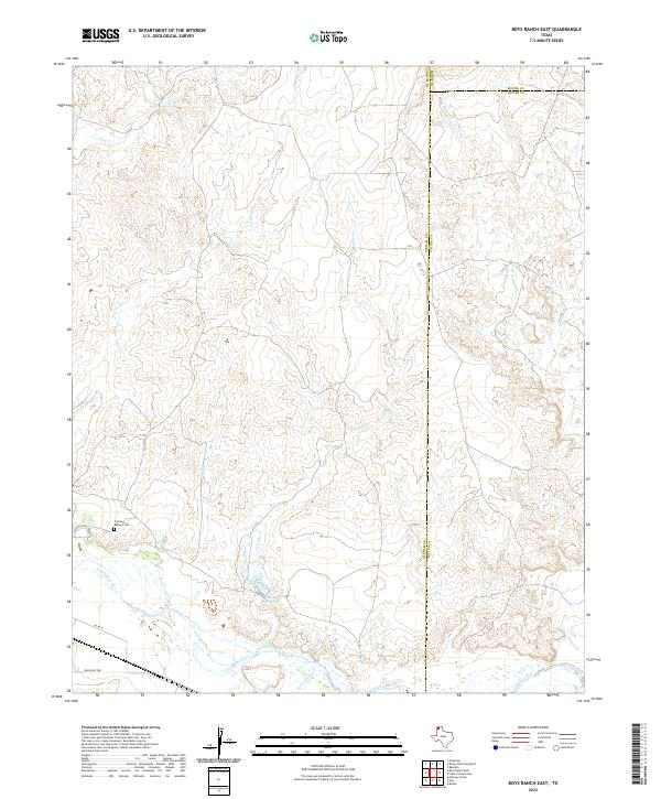 2022 Boys Ranch East2022 Print · USGSThe Texas Panhandle at the junction of Oldham, Moore, and Potter counties is captured here in recent years. Researchers can find the Casimiro Romero Cem and trace the complex drainages of Tascosa Cr and the Canadian River.
 - 2022 Map of Bautista, 2022 Print
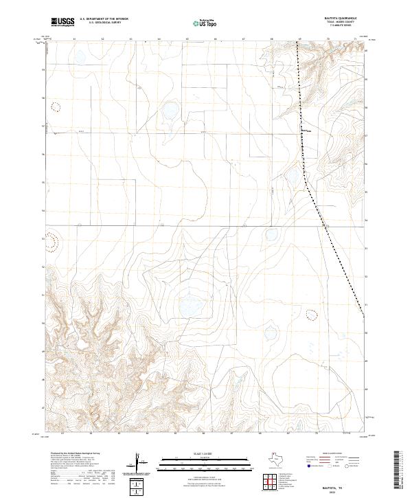 2022 Bautista2022 Print · USGSMoore County ranching country is documented here in the early twenty-first century, showing the rural landscape around Bautista. Researchers can trace the seasonal watercourses of Big Blue Creek and Indian Creek alongside the local road network of Middlewell Rd.
 - 2022 Map of Little Indian Creek, 2022 Print
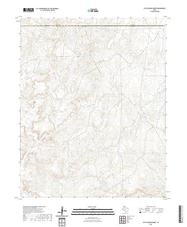 2022 Little Indian Creek2022 Print · USGSThe High Plains of the Texas Panhandle appear here in the early twenty-first century as a landscape shaped by ancient drainage patterns. Trace the intricate network of Little Indian Creek and Sand Creek across the Moore and Potter County line.
 - 2022 Map of Bivins Channing Ranch, 2022 Print
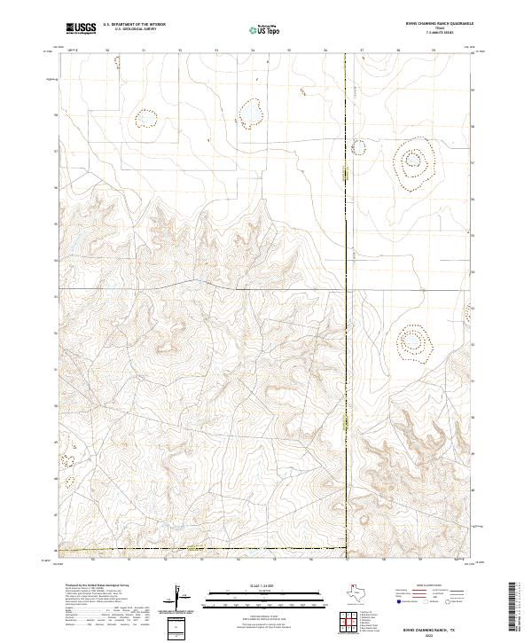 2022 Bivins Channing Ranch2022 Print · USGSThe northern Panhandle ranchlands are surveyed here in the early 2020s, showing the intersection of three counties. You can trace the rugged drainage of Rica Cr and Tascosa Cr or follow the straight path of S Co Line Rd across the high plains.
 - 2022 Map of Bird Ranch Store, 2022 Print
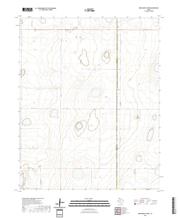 2022 Bird Ranch Store2022 Print · USGSThe boundary between Hartley Co and Moore Co defines this ranching landscape in the early twenty-first century. Genealogists and land researchers can trace property access along Ledbetter Rd, FM 722, and the grid of CO RD R.
 - 2022 Map of Moran Ranch, 2022 Print
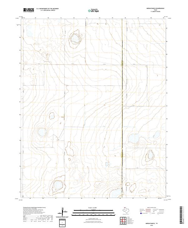 2022 Moran Ranch2022 Print · USGSThe High Plains of the Texas Panhandle meet along the Hartley and Moore county line in this contemporary survey. Local researchers can trace the modern road grid including Farm Store Rd, Countyline Rd, and W Rd I across this expansive ranching landscape.
 - 2022 Map of Stallwitz Lake, 2022 Print
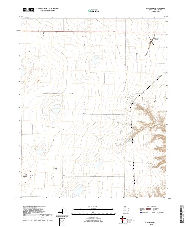 2022 Stallwitz Lake2022 Print · USGSThe Texas Panhandle takes shape in the early twenty-first century through its agricultural grid and transportation hubs. Trace the area's development from the Moore County Airport to the deep draws of N Big Blue Cr and along Stallwitz Rd.
 - 2022 Map of Stallwitz Lake NE, 2022 Print
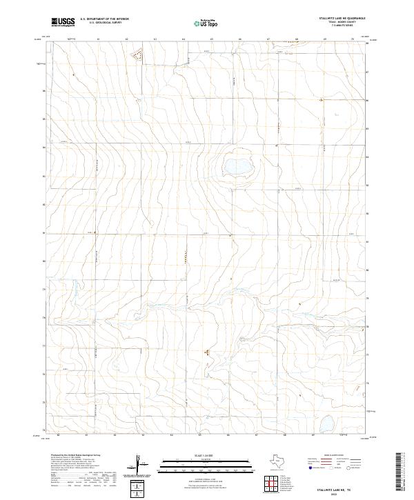 2022 Stallwitz Lake NE2022 Print · USGSMoore County's high plains are documented in the early 2020s, showing the intersection of local industry and the natural landscape. Researchers can trace the path of S Palo Duro Cr and the network of ranch roads like Buddy Kline Rd and Miles Rd.
 - 2022 Map of Dumas North, 2022 Print
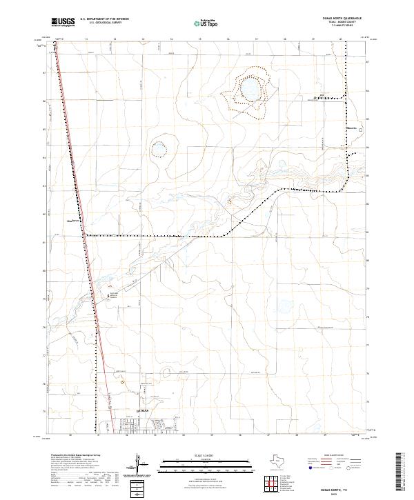 2022 Dumas North2022 Print · USGSNorthern Moore County in the early 2020s shows the expansion of Dumas and its surrounding agricultural network. Researchers can trace land use through named routes like Morton Elevator Rd and locate the Northlawn Memorial Gardens cemetery.
 - 2022 Map of Pollard Creek NW, 2022 Print
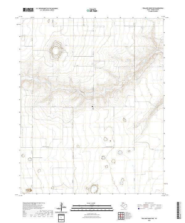 2022 Pollard Creek NW2022 Print · USGSMoore County's high plains and drainage breaks are captured here in the early twenty-first century. Researchers can locate the Palo Duro Cem and trace the winding course of S Palo Duro Cr among rural routes like Morton Elevator Rd.
 - 2022 Map of Pollard Creek NE, 2022 Print
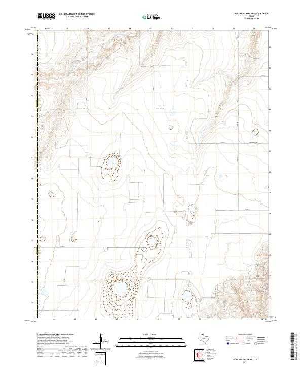 2022 Pollard Creek NE2022 Print · USGSHutchinson and Moore counties are shown here in the early 2020s, reflecting the enduring ranching character of the Texas Panhandle. Trace property boundaries and rural access along S Palo Duro Cr using routes like FM 1598 and Ranch RD 1923.
 - 2022 Map of Marsh, 2022 Print
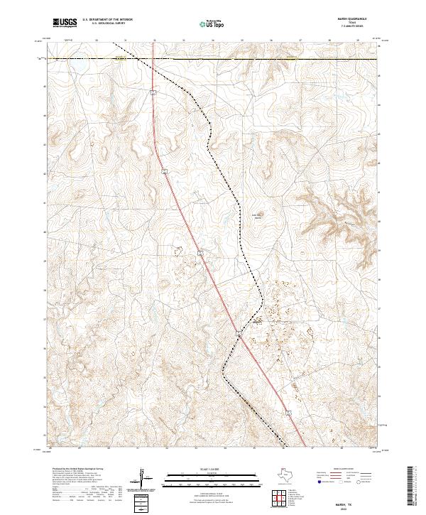 2022 Marsh2022 Print · USGSThe high plains of Potter County come into focus in this contemporary survey of the Panhandle north of Amarillo. Genealogists and land researchers can trace the intricate drainage of Little Lahey Creek and McDowell Cr near the landmark John Ray Butte.
 - 2022 Map of Masterson, 2022 Print
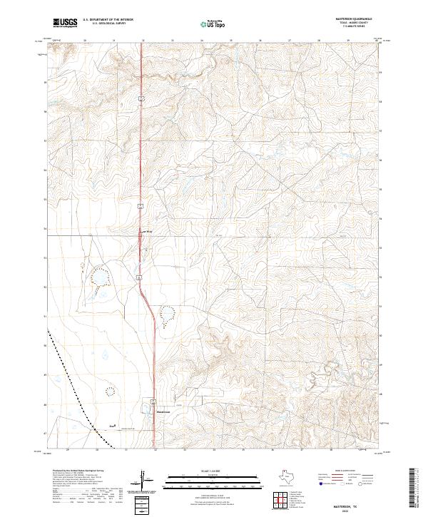 2022 Masterson2022 Print · USGSMoore County is captured here in the early 2020s, showing the intersection of Panhandle ranching and energy infrastructure. Trace local history through Masterson, the rural crossroads at Four Way, and the legacy of the helium industry along Helium Plant Rd.
 - 2022 Map of Pollard Creek, 2022 Print
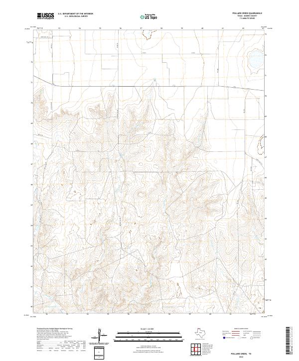 2022 Pollard Creek2022 Print · USGSThe breaks of the Texas Panhandle are captured here in the early twenty-first century, showing the deep draws carved by Pollard Cr. Map collectors can trace local energy infrastructure along Natural Gas Rd and navigate the rural grid from FM 1913 to Sneed Rd.
 - 2022 Map of Deal, 2022 Print
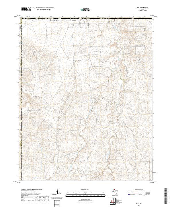 2022 Deal2022 Print · USGSThe Texas Panhandle highlands near the tri-county corner emerge in this recent survey of ranchlands and creek draws. Trace historical pathways and geographic landmarks like Antelope Peak, Chisolm Trl, and the winding Short Cr.
 - 2022 Map of Dumas South, 2022 Print
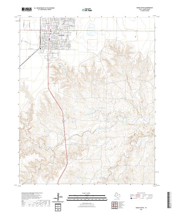 2022 Dumas South2022 Print · USGSDumas and the surrounding Moore County plains are captured in this recent survey, showcasing the city's modern street grid and drainage. Trace local history through Moore County Courthouse, Dumas Cem, and the reaches of Big Blue Creek.
 - 2022 Map of Spencer Draw, 2022 Print
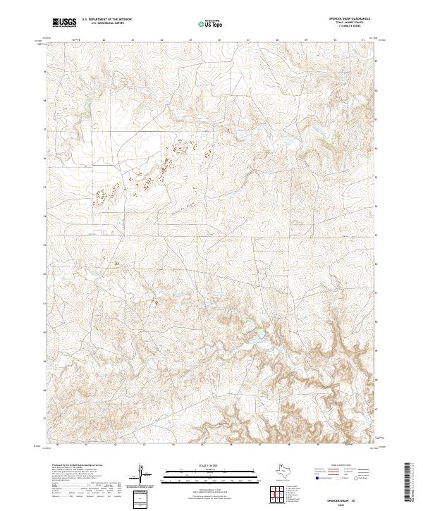 2022 Spencer Draw2022 Print · USGSMoore County ranch land is captured here in the early twenty-first century, showing a landscape shaped by intermittent water and rural infrastructure. Researchers can trace the paths of Spencer Draw and Red Draw or locate private landmarks like Thompson Estate Lake.
 - 2022 Map of Camp Creek, 2022 Print
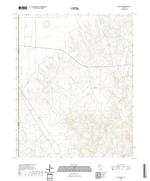 2022 Camp Creek2022 Print · USGSHutchinson County ranch lands are depicted in recent years as the landscape continues to be shaped by the waters of the Panhandle. Researchers can trace land use patterns along Camp Creek and identify local family-named routes such as Herring Ranch Rd and Charles Hart Ln.
 - 2022 Map of Little Blue Creek, 2022 Print
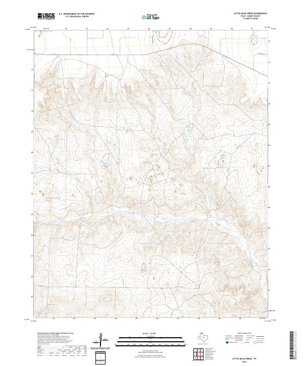 2022 Little Blue Creek2022 Print · USGSMoore County's high plains terrain is documented here in the early 2020s, showing a landscape shaped by significant Panhandle drainage systems. Researchers can trace the winding paths of Big Blue Cr and Ludlow Cr alongside rural routes like Texas Reef Rd.
Showing maps 1-25 of 30
Top cities of Moore County
Frequently asked questions
- What are the different types of historical maps available for Moore County?
- What is the oldest map of Moore County?
- Where can I purchase historical maps of Moore County for my home or office?
- Where can I download high-res historical maps of Moore County?
- Are there historical topographic maps available for Moore County?
- Is there historical aerial imagery available for Moore County?
- Where are historical maps of Moore County sourced from?