2010s Maps of Palo Pinto County, Texas
Explore 96 historic maps of Palo Pinto County from the 2010s. These maps offer a rare glimpse into what life looked like during the 2010s — showing old roads, neighborhoods, homes, and landmarks that have changed or disappeared over time.
Whether you're researching your family's past, planning a metal detecting trip, or studying how Palo Pinto County's landscape evolved across the 2010s, these high-resolution maps are a powerful tool for exploring the history of this region.
- Focus on a specific era: All maps on this page are from the 2010s, giving you a focused view of this time period.
- See what’s changed: Compare century-old streets, trails, and buildings to today's modern landscape using overlays and satellite layers.
- Research with precision: Use these maps for genealogy, historical research, land use analysis, or educational projects.
- View, download, or print: Maps are fully viewable online in high resolution, and can be downloaded or printed for your own records.
Start exploring Palo Pinto County's history through authentic maps from the 2010s. This is your window into the past.
Palo Pinto County, TX maps
(96)- 2010 Map of Ross Mountain, 2010 Print
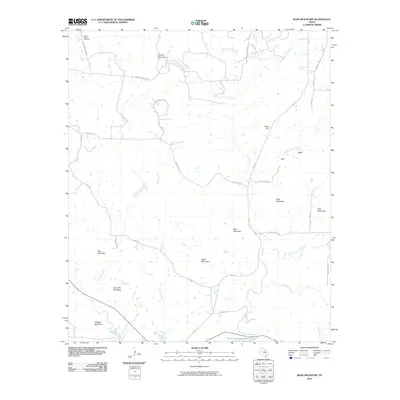 2010 Ross Mountain2010 Print · USGSPalo Pinto County in the early twenty-first century shows a landscape of prominent peaks and the northern reaches of Possum Kingdom Lake. Genealogists and local historians can locate Center Ridge Cemetery or trace family-named routes like Birdwell Rd and Coley Rd near Ross Mountain.
 - 2010 Map of Mineral Wells East, 2010 Print
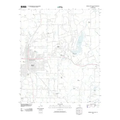 2010 Mineral Wells East2010 Print · USGSMineral Wells and the eastern Palo Pinto County landscape are documented here at the start of the 2010s. Genealogists and local historians can trace family plots at Staggs Prairie Cemetery or locate historic landmarks like the Northwestern Railroad Depot.
 - 2010 Map of Whitt, 2010 Print
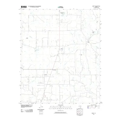 2010 Whitt2010 Print · USGSWhitt and the ranching lands of north central Texas appear in this detailed 2010 survey of Mineral Wells' northern reaches. Researchers can trace the layout of small communities like Salesville and Peadenville or locate landmarks such as the Rock Creek Ranch Airport and Rock Crusher Lake.
 - 2010 Map of Santo, 2010 Print
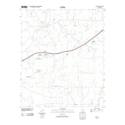 2010 Santo2010 Print · USGSSanto and the surrounding Palo Pinto hill country are captured here in the early twenty-first century. Local historians can trace family burial grounds at Brannon Cemetery or Bosley Cemetery and locate numerous historic ranch-water dams like E J Porter Lake Dam.
 - 2010 Map of Brazos East, 2010 Print
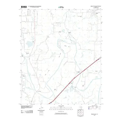 2010 Brazos East2010 Print · USGSParker County's river valley and rural communities are captured here in the early twenty-first century as the winding river shapes the local landscape. Genealogists can locate several family-named burial sites like Goen Cemetery and Brannon Cemetery near the settlements of Millsap and Bennett.
 - 2010 Map of Gordon, 2010 Print
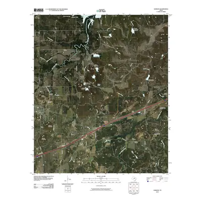 2010 Gordon2010 Print · USGSGordon and the surrounding Palo Pinto County countryside are documented here in the early twenty-first century. Genealogists and local historians can locate numerous family burial grounds like Old Gordon Cemetery and trace the paths of Palo Pinto Creek through Coalville.
 - 2010 Map of Costello Island, 2010 Print
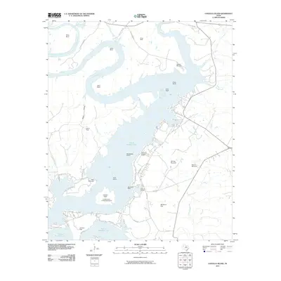 2010 Costello Island2010 Print · USGSPalo Pinto County's Brazos River valley is shown here just after the first decade of the new millennium, centered on the expansive waters of Possum Kingdom Lake. Researchers can trace local history at McAdams Cemetery or locate landmarks like Costello Island and McAdams Peak.
 - 2010 Map of Long Hollow, 2010 Print
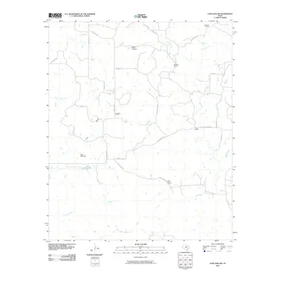 2010 Long Hollow2010 Print · USGSPalo Pinto County ranch land is captured here in the early 2000s, showing a landscape of family ranch roads and quiet creek beds. Genealogists can locate several historic burial grounds, including Long Hollow Cemetery, Wood Cemetery, and the Halsell Ranch Cemetery.
 - 2010 Map of Lone Camp, 2010 Print
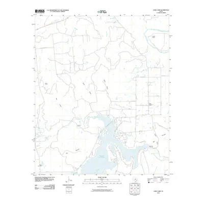 2010 Lone Camp2010 Print · USGSLone Camp and the surrounding Palo Pinto County countryside are captured here in the early twenty-first century as the reservoir landscape matured. Researchers can locate the Lake Creek Cemetery, trace the Brazos River at Village Bend, and find the Gordon Oil Field.
 - 2010 Map of Bartons Chapel, 2010 Print
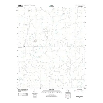 2010 Bartons Chapel2010 Print · USGSJack County's rural landscape at the turn of the decade is defined by its winding creek forks and scattered community landmarks. Genealogists and local historians can trace family ties at Bartons Chapel Cemetery or locate the remote One Sixty Four Place Airport and Tettertiller Hill.
 - 2010 Map of Mineral Wells West, 2010 Print
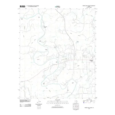 2010 Mineral Wells West2010 Print · USGSThe western edges of Mineral Wells and the sweeping oxbows of the Brazos River are captured here in the early 2000s. Researchers can locate several family burial grounds, including Locke Cemetery and Hittson Cemetery, or trace the path of the historic Bankhead Rd.
 - 2010 Map of Strawn West, 2010 Print
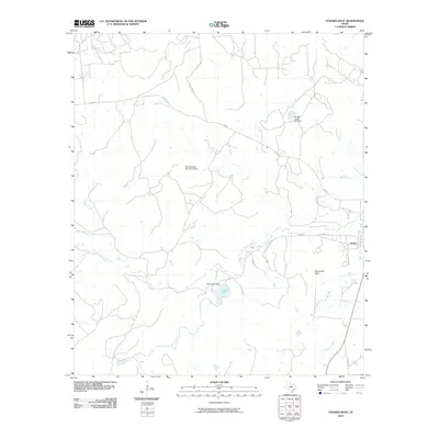 2010 Strawn West2010 Print · USGSThe western outskirts of Strawn, Texas, are captured here in the early twenty-first century, showing a landscape defined by ranch roads and water management. Local historians can trace family-named routes and landmarks like Evensville Peak, Tucker Lake, and Hohhertz Rd.
 - 2010 Map of Cove Creek, 2010 Print
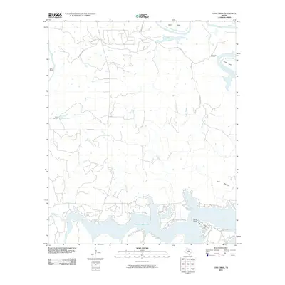 2010 Cove Creek2010 Print · USGSPalo Pinto County at the start of the decade shows a landscape defined by the winding Brazos River and the recreational waters of Possum Kingdom Lake. Local historians can trace family sites near Ming Bend Cemetery or explore the shoreline developments around Sandy Beach and Possum Kingdom State Park.
 - 2010 Map of Strawn East, 2010 Print
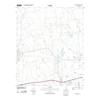 2010 Strawn East2010 Print · USGSThe industrial and social heritage of Palo Pinto County is preserved in this map of the corridor between Strawn and Gordon. Trace the legacy of company towns and family history through the Thurber Historic District, Boles Rector Oil Field, and McSpadden Cemetery.
 - 2010 Map of Fortune Bend, 2010 Print
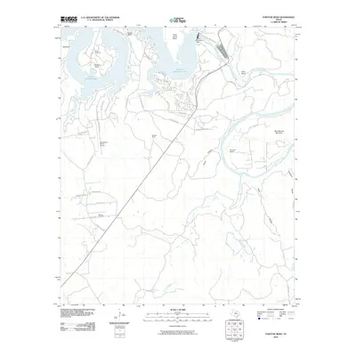 2010 Fortune Bend2010 Print · USGSPalo Pinto County at the start of the 2010s shows a landscape shaped by the waters of the Brazos River and the energy of the Belding Oil Field. You can trace the development of lakefront life around Possum Kingdom Lake or explore the rural reaches of Fortune Bend.
 - 2010 Map of Graford East, 2010 Print
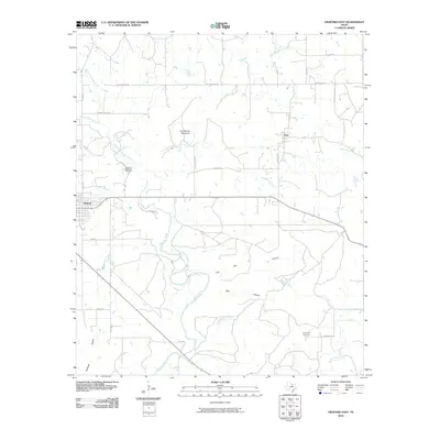 2010 Graford East2010 Print · USGSPalo Pinto County at the turn of the decade shows a landscape of established ranching roads and shifting creek beds. Genealogists and local historians can trace family locations near Union Hill Cemetery, the Garden of Memories Cemetery, or the slopes of Grindstone Mountain.
 - 2010 Map of Perrin, 2010 Print
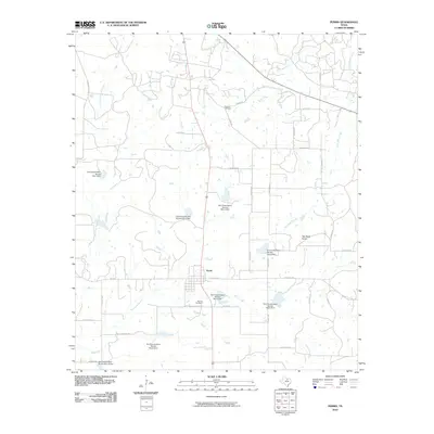 2010 Perrin2010 Print · USGSThe rural community of Perrin is depicted in the early twenty-first century, showing a landscape defined by ranching roads and water management. Genealogists and local historians can locate Fairview Cemetery, Perrino Cemetery, and the distinct landmark of Two Bush Knob.
 - 2010 Map of Lipan, 2010 Print
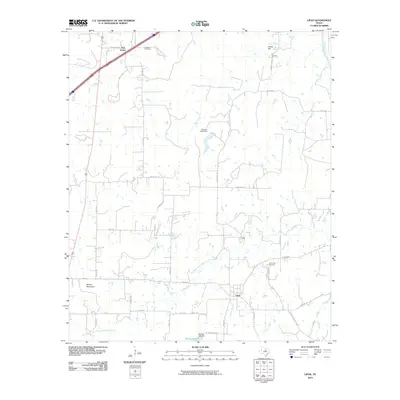 2010 Lipan2010 Print · USGSThe rural landscape of Hood County is captured here in the early twenty-first century, centered on the community of Lipan. Genealogists and local historians can trace family-named sites like Evergreen Cemetery, Hill Cemetery, and the high ground of Potato Hill.
 - 2010 Map of Metcalf Gap, 2010 Print
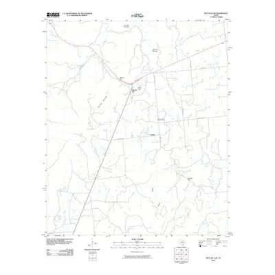 2010 Metcalf Gap2010 Print · USGSThe Palo Pinto Mountains of north-central Texas are shown here in the early twenty-first century, revealing a landscape of high ridges and deep gaps. Genealogists and historians can trace rural homesteads near the Dodson Prairie Community Hall and the Metcalf Gap Oil Field.
 - 2010 Map of Brazos West, 2010 Print
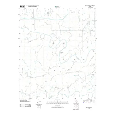 2010 Brazos West2010 Print · USGSThe sinuous bends of the Brazos River define this Palo Pinto County landscape in the early twenty-first century. Researchers can locate family landmarks such as John Hittson Bend, Robinson Mountain, and the New Hope Cemetery.
 - 2010 Map of Brad, 2010 Print
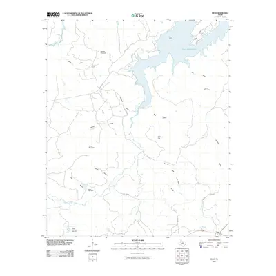 2010 Brad2010 Print · USGSPalo Pinto County ranchlands and the jagged southern shores of the lake define this region in 2010. Researchers can trace land features like Hughes Mountain and Iles Oil Field, or explore the drainages of Sam Bass Hollow and Texawa Canyon near Brad.
 - 2010 Map of Caddo NE, 2010 Print
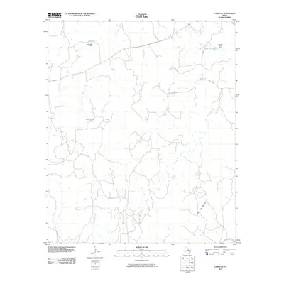 2010 Caddo NE2010 Print · USGSPalo Pinto County at the turn of the millennium shows a landscape of winding creeks and rural road networks. Genealogists and historians can trace local landmarks like Lone Star Lake, the Palo Pinto Mountains, and rural routes such as Upper Brad Rd.
 - 2010 Map of Palo Pinto, 2010 Print
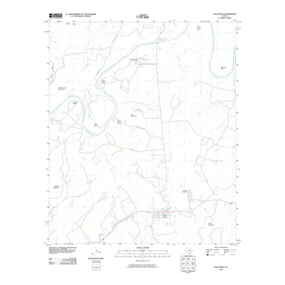 2010 Palo Pinto2010 Print · USGSThe town of Palo Pinto sits south of the winding Brazos River at the dawn of the twenty-first century. Genealogists and local historians can trace the geography of established properties like Worth Ranch and distinctive landmarks such as Schoolhouse Mountain and Chick Bend.
 - 2010 Map of Graford West, 2010 Print
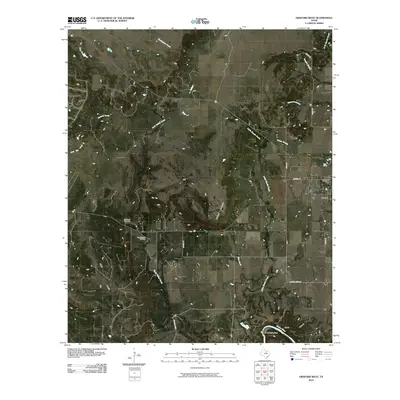 2010 Graford West2010 Print · USGSNorthwest of Mineral Wells in the early 21st century, this area shows the intersection of ranching land and energy production. You can locate the Lu Queen Cemetery and the Loyd-Dalton Oil Field or trace the winding course of the Brazos River through Fortune Bend.
 - 2012 Map of Santo, 2012 Print
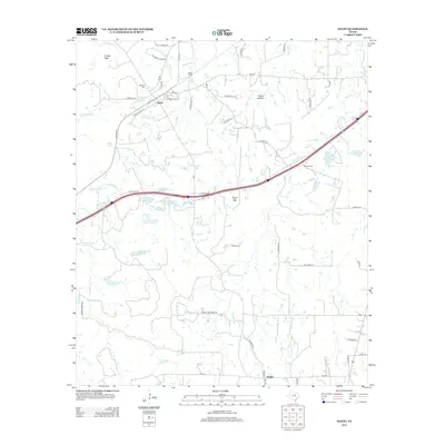 2012 Santo2012 Print · USGSSanto and the surrounding Palo Pinto ranch lands are captured here during the early twenty-first century. Genealogists and local historians can locate rural landmarks like Brannon Cem, Bugle Mtn, and the small community of Patillo.
Showing maps 1-25 of 96
Top cities of Palo Pinto County
- Strawn historical maps
- Graford historical maps
- Gordon historical maps
- Palo Pinto historical maps
- Mingus historical maps
Frequently asked questions
- What are the different types of historical maps available for Palo Pinto County?
- What is the oldest map of Palo Pinto County?
- Where can I purchase historical maps of Palo Pinto County for my home or office?
- Where can I download high-res historical maps of Palo Pinto County?
- Are there historical topographic maps available for Palo Pinto County?
- Is there historical aerial imagery available for Palo Pinto County?
- Where are historical maps of Palo Pinto County sourced from?