2000s (21st Century) Maps of Huxley, Texas
Explore 24 historic maps of Huxley from the 2000s (21st Century). These maps offer a rare glimpse into what life looked like during the 2000s — showing old roads, neighborhoods, homes, and landmarks that have changed or disappeared over time.
Whether you're researching your family's past, planning a metal detecting trip, or studying how Huxley's landscape evolved across the 2000s, these high-resolution maps are a powerful tool for exploring the history of this region.
- Focus on a specific era: All maps on this page are from the 2000s, giving you a focused view of this time period.
- See what’s changed: Compare century-old streets, trails, and buildings to today's modern landscape using overlays and satellite layers.
- Research with precision: Use these maps for genealogy, historical research, land use analysis, or educational projects.
- View, download, or print: Maps are fully viewable online in high resolution, and can be downloaded or printed for your own records.
Start exploring Huxley's history through authentic maps from the 2000s. This is your window into the past.
Huxley, TX maps
(24)- 2003 Map of Brushy Creek, 2004 Print
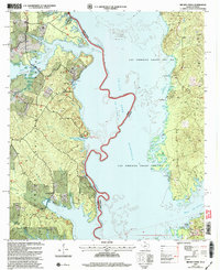 2003 Brushy Creek2004 Print · USGSThe Sabine River borderlands in the early 2000s show a mix of industrial activity and shoreline recreation within the Sabine National Forest. Researchers can trace old land grants and local sites like West Hamilton Ch, Ebarb, and the Ragtown Recreation Area.
 - 2003 Map of Patroon North, 2004 Print
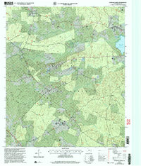 2003 Patroon North2004 Print · USGSShelby County, Texas, was a landscape of dense piney woods and quiet bayous at the start of the twenty-first century. Genealogists and local historians can pinpoint family landmarks like Jordans Store, Lone Star Ch, and the Latham Cem near the Toledo Bend Reservoir shoreline.
 - 2003 Map of Union Springs, 2004 Print
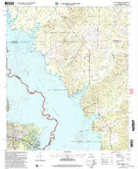 2003 Union Springs2004 Print · USGSThe Louisiana-Texas borderlands are captured here at the turn of the millennium as the Toledo Bend Reservoir reshapes the local geography. Genealogists and historians can locate legacy sites like Bossier Cem, Henretta Ch, and the historical Las Ormigas Grant Lot No 3.
 - 2003 Map of Huxley, 2004 Print
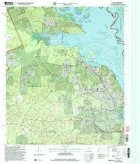 2003 Huxley2004 Print · USGSShelby County, Texas, meets the Louisiana border in this detailed look at the Sabine River valley during the early 2000s. Researchers can trace rural lineages through sites like Star Spring Cem, Carrollton Ch, and the historic Las Ormigas Grant Lot No 4.
 - 2010 Map of Brushy Creek, 2010 Print
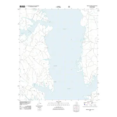 2010 Brushy Creek2010 Print · USGSThe Sabine River valley is shown here in the early twenty-first century as a sprawling network of inlets and timber lands along the Texas-Louisiana state line. Researchers can trace the modern shoreline and forest access routes around Ebarb, Buzzard Bend, and Snyders Boat Ramp.
 - 2010 Map of Union Springs, 2010 Print
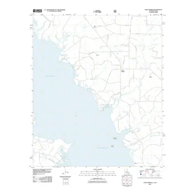 2010 Union Springs2010 Print · USGSThe eastern reaches of the Sabine River valley are documented here following the creation of the reservoir. Researchers can locate family landmarks like Bossier Cemetery and Pauls Cemetery or trace the winding course of Augustine Bar Creek.
 - 2010 Map of Huxley, 2010 Print
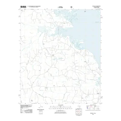 2010 Huxley2010 Print · USGSThe Toledo Bend shoreline and the deep piney woods of East Texas define this region in the early twenty-first century. Researchers can trace rural lineages at Strong Cemetery or locate landmarks like Tenaha Lookout Tower and Boles Field.
 - 2010 Map of Patroon North, 2010 Print
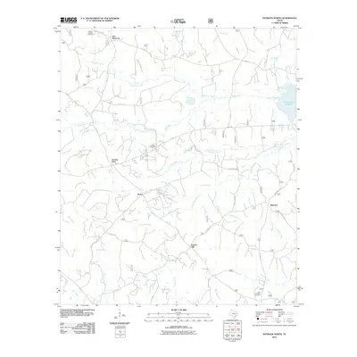 2010 Patroon North2010 Print · USGSShelby County, Texas, is shown here as a landscape of rural settlements and winding bayous in the early twenty-first century. Researchers can trace family history through sites like Latham Cemetery, Jordans Store, and the community of New Harmony.
 - 2012 Map of Huxley, 2012 Print
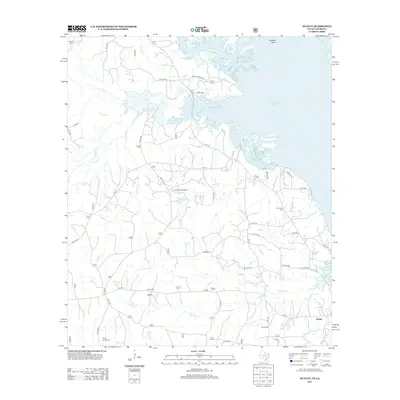 2012 Huxley2012 Print · USGSShelby County, Texas, and the Sabine River border are captured here during the early twenty-first century as the local landscape adapts to the shoreline of the Toledo Bend Reservoir. Genealogists and historians can locate numerous rural burial sites like Strong Cem and Holly Springs Cem or trace landmarks such as the Tenaha Lookout Tower.
 - 2012 Map of Patroon North, 2012 Print
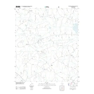 2012 Patroon North2012 Print · USGSShelby County, Texas, is shown just over a decade ago as the modern landscape of the East Texas piney woods meets the Toledo Bend Reservoir. Researchers can locate several rural communities and burial sites including Dreka, Ragtown, and the Latham Cem.
 - 2013 Map of Brushy Creek, 2013 Print
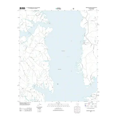 2013 Brushy Creek2013 Print · USGSThe Texas-Louisiana borderlands appear here as a maze of coves and ridges along the Sabine River basin in the early 2010s. Local researchers can trace family landmarks and shoreline access points like Ebarb, Snyders Boat Ramp, and the high ground of Royal Ridge.
 - 2015 Map of Union Springs, 2015 Print
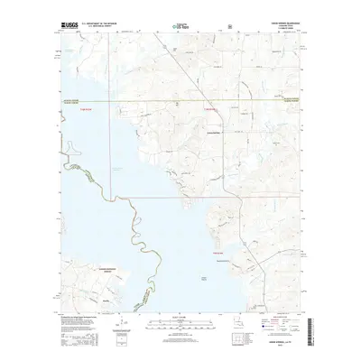 2015 Union Springs2015 Print · USGSThe borderlands of Texas and Louisiana come into focus during the mid-2010s, centered on the deeply indented eastern shores of the Toledo Bend Reservoir. Local historians can trace family locations near Bossier Cemetery, the settlement of Huxley, and landmarks like Big Hill.
 - 2016 Map of Brushy Creek, 2016 Print
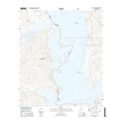 2016 Brushy Creek2016 Print · USGSThe Texas-Louisiana borderlands come alive in the mid-2010s, centered on the shoreline of the Toledo Bend Reservoir near Huxley. Researchers can trace the intricate network of the Sabine National Forest via Wrights Landing Road and family-named landmarks like Browns Bend.
 - 2016 Map of Patroon North, 2016 Print
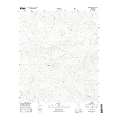 2016 Patroon North2016 Print · USGSShelby County, Texas, is shown here as it appeared in the mid-2010s, defined by the protected timberlands of the Sabine National Forest. Genealogists and local historians can trace small communities like Huxley and Dreka, along with several rural burial sites such as Latham Cem.
 - 2016 Map of Huxley, 2016 Print
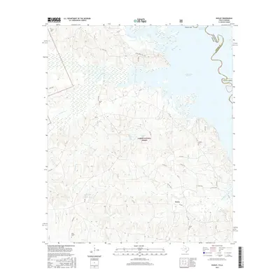 2016 Huxley2016 Print · USGSHuxley and the surrounding piney woods of Shelby County are shown here as they appeared in the mid-2010s. Genealogists can locate several family-named burial sites like Wimberly Cem and Holly Springs Cem near the Toledo Bend Reservoir shoreline.
 - 2018 Map of Union Springs, 2018 Print
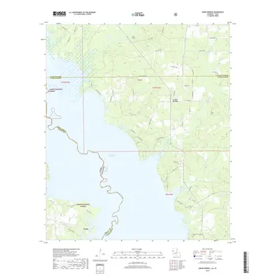 2018 Union Springs2018 Print · USGSThe Texas-Louisiana borderlands come into focus in the late 2010s as the Toledo Bend Reservoir meets the Sabine National Forest. Researchers can trace rural lineages through the Bossier Cem or follow the winding Bossier Bayou near Union Springs.
 - 2019 Map of Brushy Creek, 2019 Print
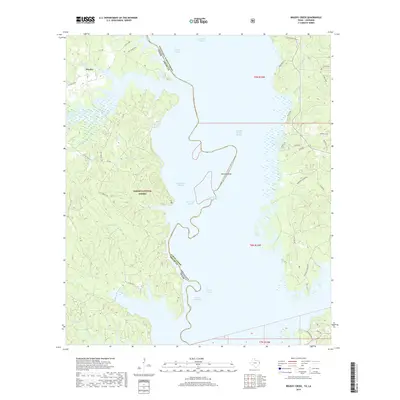 2019 Brushy Creek2019 Print · USGSThe Texas-Louisiana border country along the Toledo Bend Reservoir comes into focus during the late twenty-tens. Genealogists and researchers can trace the roads around Huxley or locate family-named landmarks like Browns Bend and Charley Buck Slough.
 - 2019 Map of Huxley, 2019 Print
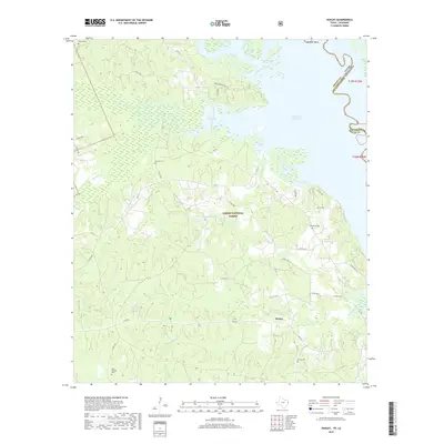 2019 Huxley2019 Print · USGSThe East Texas timberlands meet the Louisiana border in this 2019 survey of Huxley. Genealogists and historians can trace family burial sites at Strong Cem and Holly Springs Cem or explore the wooded shoreline of Toledo Bend Reservoir.
 - 2019 Map of Patroon North, 2019 Print
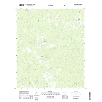 2019 Patroon North2019 Print · USGSShelby County’s Deep East Texas timberlands are shown here in the late 2010s as a patchwork of forest and rural homesteads. Genealogists and researchers can trace the locations of Latham Cemetery, Huxley, and the remote heights of Goober Hill.
 - 2020 Map of Union Springs, 2020 Print
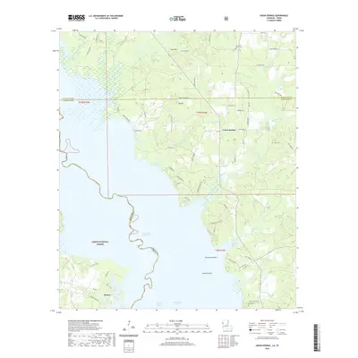 2020 Union Springs2020 Print · USGSThe borderlands of Texas and Louisiana come into focus during this contemporary period as the Toledo Bend Reservoir shapes the local geography. Genealogists and local historians can trace family ties at Oak Grove Church Cem or locate the rural communities of Huxley and Union Springs.
 - 2022 Map of Patroon North, 2022 Print
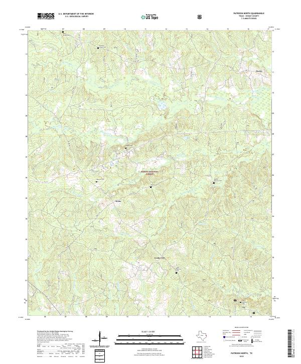 2022 Patroon North2022 Print · USGSShelby County’s wooded borderlands are captured here in the early twenty-first century, showcasing the deep-rooted rural communities of the Sabine National Forest. Researchers can trace family history through numerous burial sites like Bennett Chapel Cem and West Hamilton Cem near Dreka.
 - 2022 Map of Brushy Creek, 2022 Print
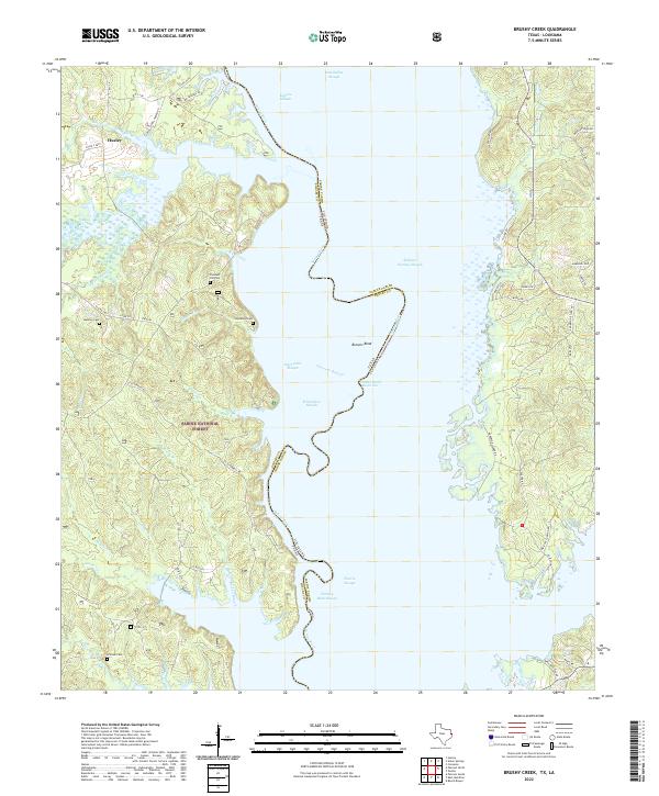 2022 Brushy Creek2022 Print · USGSThe Texas-Louisiana border along the Sabine River is shown here in the contemporary era as the Toledo Bend Reservoir meets the Sabine National Forest. Family historians can locate historic burial grounds like Pleasant Hill Cem and Brittain Cem among the many winding sloughs and creek branches.
 - 2022 Map of Huxley, 2022 Print
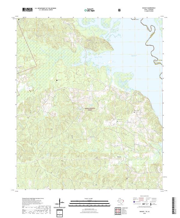 2022 Huxley2022 Print · USGSThe Sabine River bottomlands in Shelby County appear here as they are today, balanced between modern forest management and old family homesteads. Genealogists can trace rural roots through Star Spring Cem, Permenter Cem, and the waterside roads near Huxley.
 - 2024 Map of Union Springs, 2024 Print
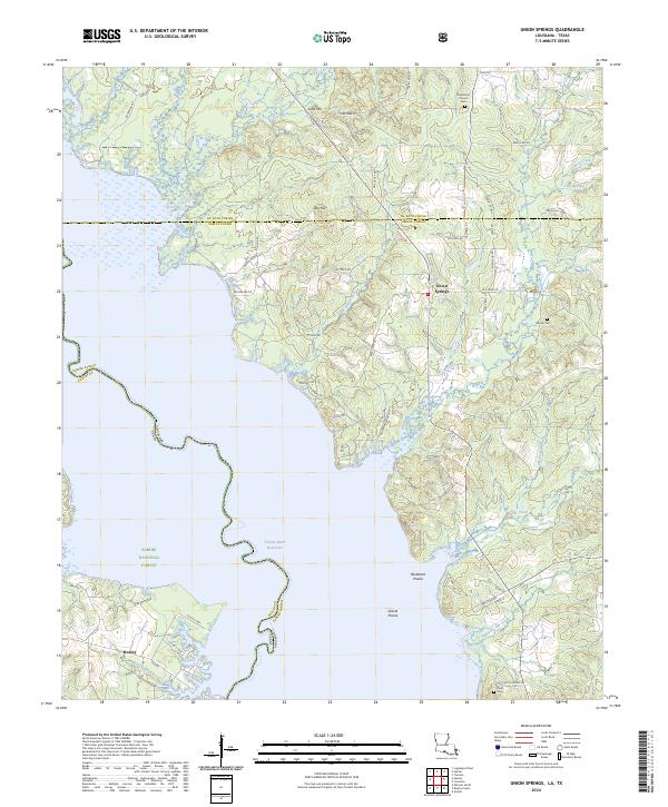 2024 Union Springs2024 Print · USGSThe borderlands of Louisiana and Texas come alive in this survey of the Toledo Bend Reservoir region. Genealogists can trace local roots through landmarks like Union Springs, Oak Grove Church Cem, and the community of Huxley.
End of results
Showing maps 1-24 of 24
Top cities near Huxley
- Zwolle historical maps
- Logansport historical maps
- Joaquin historical maps
- Converse historical maps
- Noble historical maps
- Stanley historical maps
Frequently asked questions
- What are the different types of historical maps available for Huxley?
- What is the oldest map of Huxley?
- Where can I purchase historical maps of Huxley for my home or office?
- Where can I download high-res historical maps of Huxley?
- Are there historical topographic maps available for Huxley?
- Is there historical aerial imagery available for Huxley?
- Where are historical maps of Huxley sourced from?