2000s (21st Century) Maps of Tyler County, Texas
Explore 128 historic maps of Tyler County from the 2000s (21st Century). These maps offer a rare glimpse into what life looked like during the 2000s — showing old roads, neighborhoods, homes, and landmarks that have changed or disappeared over time.
Whether you're researching your family's past, planning a metal detecting trip, or studying how Tyler County's landscape evolved across the 2000s, these high-resolution maps are a powerful tool for exploring the history of this region.
- Focus on a specific era: All maps on this page are from the 2000s, giving you a focused view of this time period.
- See what’s changed: Compare century-old streets, trails, and buildings to today's modern landscape using overlays and satellite layers.
- Research with precision: Use these maps for genealogy, historical research, land use analysis, or educational projects.
- View, download, or print: Maps are fully viewable online in high resolution, and can be downloaded or printed for your own records.
Start exploring Tyler County's history through authentic maps from the 2000s. This is your window into the past.
Tyler County, TX maps
(128)- 2003 Map of Pace Hill, 2004 Print
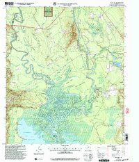 2003 Pace Hill2004 Print · USGSThe Angelina River bottomlands at the turn of the twenty-first century reveal a landscape of deep Texas history and complex hydrology. Genealogists and local historians can trace legacy sites like the Bevilport Townsite, Farrell Cem, and Homer Ch among the river's many sloughs.
 - 2003 Map of Ebenezer, 2004 Print
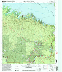 2003 Ebenezer2004 Print · USGSJasper County timberlands and the deep waters of the Angelina River are captured here at the start of the millennium. Researchers can locate family landmarks like Speir Cem and Jordan Cem or trace the early settlement at the Zavala (Historical Site).
 - 2003 Map of Rockland, 2004 Print
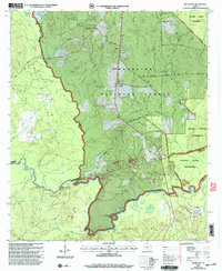 2003 Rockland2004 Print · USGSDeep in the Piney Woods during the early 2000s, this area traces the historic Neches River corridor. Genealogists can locate family burial grounds like Barge Cem and Kitchen Cem, while historians can find the Site of Fort Teran.
 - 2010 Map of Hillister, 2010 Print
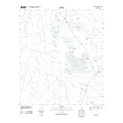 2010 Hillister2010 Print · USGSTyler County at the turn of the decade reveals a landscape of wooded residential enclaves and recreational reservoirs. Genealogists and local historians can trace family sites at Mount Pisgah Cemetery or explore the growth of Timber Lakes and Hillister.
 - 2010 Map of Chambliss Hill, 2010 Print
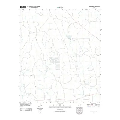 2010 Chambliss Hill2010 Print · USGSThis Polk County landscape at the start of the decade reveals a complex network of watercourses and family-named rural roads. Genealogists and local researchers can pinpoint George Cemetery, Hubert Cemetery, and landmarks like Camp Niwana.
 - 2010 Map of Jacks Creek South, 2010 Print
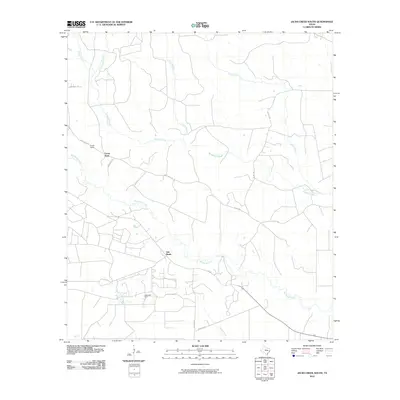 2010 Jacks Creek South2010 Print · USGSPolk County timber and oil country are well-established by the early twenty-first century, showing a landscape shaped by rural industry. Genealogists and local historians can trace the roads around Camp Seale, the Segno Oil Field, and the settlement of Oak Shade.
 - 2010 Map of Woodville, 2010 Print
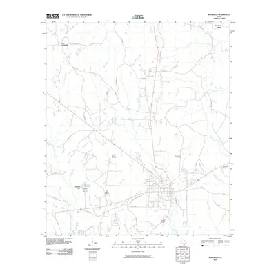 2010 Woodville2010 Print · USGSWoodville and the surrounding Tyler County timberlands are documented here during a period of steady regional growth. Genealogists and local historians can trace family roots through the Dies Community, Magnolia Hills, and landmarks like the Dunrovin Hatchery.
 - 2010 Map of Hortense, 2010 Print
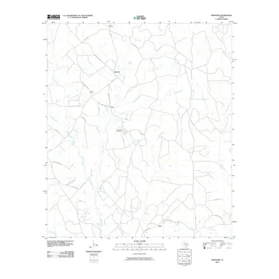 2010 Hortense2010 Print · USGSPolk County at the start of the 2010s reveals a landscape of dispersed settlements and family landholdings tied together by creek-side roads. Researchers can trace the locations of historic burial sites like Parrish Cemetery and Feagin Cemetery or follow the waters of Big Sandy Creek and Kennedy Creek.
 - 2010 Map of Camden, 2010 Print
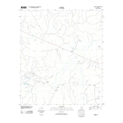 2010 Camden2010 Print · USGSSoutheast Texas at the start of the 2010s reveals a rural landscape defined by creek drainages and quiet settlements. Family historians can trace numerous sites including Peach Tree Village Cemetery, Old Barnum, and Lily Island.
 - 2010 Map of Fred, 2010 Print
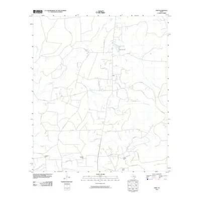 2010 Fred2010 Print · USGSThe rural landscape near Fred is captured here in the early twenty-first century, showing a region defined by piney woods and petroleum. Genealogists can trace family-named routes like McGallion Rd and landmarks including the Jackson-Doty Oil Field.
 - 2010 Map of Colmesneil, 2010 Print
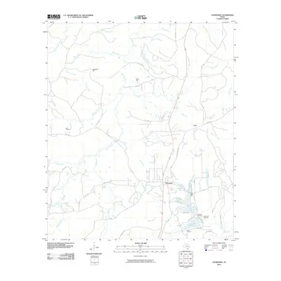 2010 Colmesneil2010 Print · USGSColmesneil and the surrounding piney woods of Tyler County are captured here in the early twenty-first century. Researchers can trace local lineage at Mann Cemetery and Egypt Cemetery, or explore the hydrology of Lake Amanda and Lively Branch.
 - 2010 Map of Chester, 2010 Print
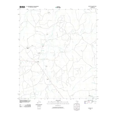 2010 Chester2010 Print · USGSTexas's Piney Woods region near the start of the twenty-first century reveals a landscape shaped by rural settlements and family heritage. Genealogists can trace localized history through numerous burial sites like Old Mount Zion Cemetery, Peach Tree Village, and Sterling Cemetery.
 - 2010 Map of Kirkpatrick Lake, 2010 Print
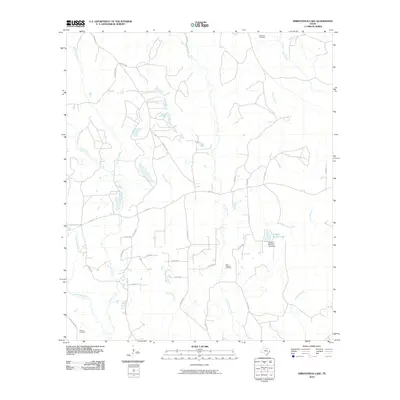 2010 Kirkpatrick Lake2010 Print · USGSTyler County at the turn of the decade is defined by its winding waterways and industrial pockets. Genealogists and historians can trace local landmarks like Goalsbee Cemetery, the East Hillister Oil Field, and Spurlock Lake.
 - 2010 Map of Tater Patch Lake, 2010 Print
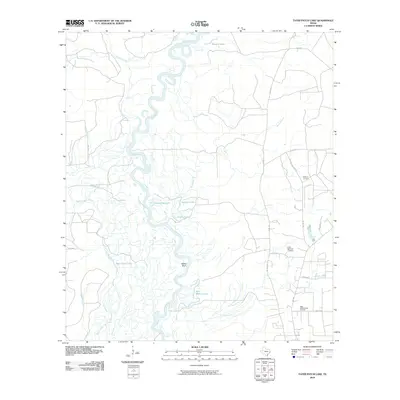 2010 Tater Patch Lake2010 Print · USGSThe Neches River bottomlands are captured here in the early twenty-first century, showing a landscape shaped by water and industry. Genealogists and local historians can trace family ties at Withers Cemetery or locate the Sally Withers Lake Oil Field and Cairo Springs Lookout.
 - 2010 Map of Boggy Lake, 2010 Print
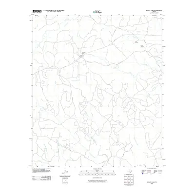 2010 Boggy Lake2010 Print · USGSTyler County’s timberlands and creek bottoms are documented here in the early twenty-first century. Genealogists can locate family burial grounds at Davis Cemetery and Grimes Cemetery, or trace the old paths near Smith Ferry Lookout Tower.
 - 2010 Map of Birdwell Lake, 2010 Print
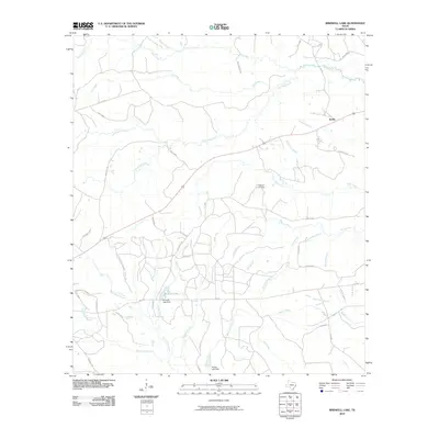 2010 Birdwell Lake2010 Print · USGSTyler County's timberlands and rural crossroads are captured here in the early twenty-first century. Genealogists and local researchers can trace family landmarks and sites such as Hopewell Cemetery, the settlement of Emille, and the waters of Birdwell Lake.
 - 2010 Map of Jacks Creek North, 2010 Print
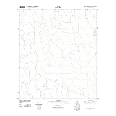 2010 Jacks Creek North2010 Print · USGSPolk County in the years before 2010 was a landscape of timber tracts and family-named routes carved between East Texas waterways. Trace local history along Midway Cemetery Rd or follow the paths of Jacks Creek and Race Track Rd.
 - 2010 Map of Hicksbaugh, 2010 Print
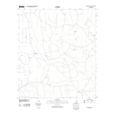 2010 Hicksbaugh2010 Print · USGSDeep in Tyler County during the early 2010s, this area shows a landscape defined by timber, oil, and small rural communities. Genealogists and historians can trace family locations near Hicksbaugh or locate the Gardner Cemetery, Hester Cemetery, and Richardson Cemetery.
 - 2010 Map of Wolf Hill, 2010 Print
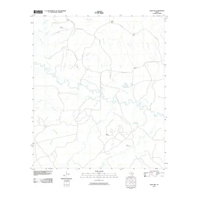 2010 Wolf Hill2010 Print · USGSDeep in the East Texas piney woods during the early 2000s, this area shows a landscape shaped by the Neches River and its many tributaries. Genealogists and local historians can locate several family burial sites, including Havard Cemetery and Futch Cemetery, alongside the prominent Wolf Hill Lookout Tower.
 - 2010 Map of Magnolia Springs, 2010 Print
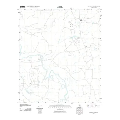 2010 Magnolia Springs2010 Print · USGSThe Piney Woods of Jasper County come into focus in the early 2010s, showing a landscape defined by forestry and oil. Researchers can locate the Magnolia Springs State Nursery and the Joes Lake Oil Field near the winding oxbows of the Neches River.
 - 2010 Map of Pluck, 2010 Print
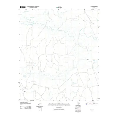 2010 Pluck2010 Print · USGSThe river bottomlands of Polk County are captured here in the early twenty-first century as they surround the settlement of Pluck. Genealogists and local historians can trace family roots through landmarks like Grimes Cemetery, Stryker Cemetery, and Conleys Corner.
 - 2010 Map of Town Bluff, 2010 Print
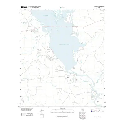 2010 Town Bluff2010 Print · USGSTexas river life and reservoir management come together here in the early twenty-first century as the Neches River flows through the Town Bluff Dam. Genealogists and local historians can locate Supps Cemetery and Pedigo Cemetery near the shores of B A Steinhagen Lake.
 - 2010 Map of Spurger, 2010 Print
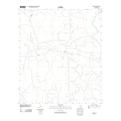 2010 Spurger2010 Print · USGSSpurger and its surrounding Tyler County woodlands are captured here at the start of the 2010s. Researchers can trace rural property layouts near Oldham, locate the Spurger Lookout, and follow the winding banks of the Neches River.
 - 2010 Map of Warren, 2010 Print
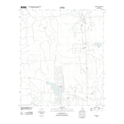 2010 Warren2010 Print · USGSSoutheast Texas at the start of the decade shows a landscape of established oil fields and creek-side settlements. Genealogists and researchers can locate Fellowship Cemetery, the community of Wildwood on Lake Kimball, and the historic Warren Cemetery.
 - 2010 Map of Pace Hill, 2010 Print
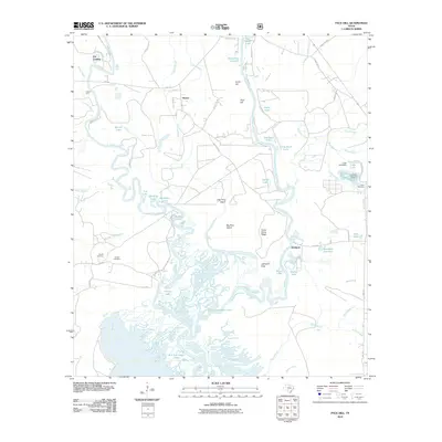 2010 Pace Hill2010 Print · USGSSoutheast Texas river country comes to life in this recent study of the confluence of the Neches and Angelina rivers. Researchers can trace historical river crossings and family burial grounds like Smith Ferry, Bevilport, Farrell Cemetery, and Rawls Cemetery.
Showing maps 1-25 of 128
Top cities of Tyler County
Frequently asked questions
- What are the different types of historical maps available for Tyler County?
- What is the oldest map of Tyler County?
- Where can I purchase historical maps of Tyler County for my home or office?
- Where can I download high-res historical maps of Tyler County?
- Are there historical topographic maps available for Tyler County?
- Is there historical aerial imagery available for Tyler County?
- Where are historical maps of Tyler County sourced from?