2010s Maps of Ward County, Texas
Explore 96 historic maps of Ward County from the 2010s. These maps offer a rare glimpse into what life looked like during the 2010s — showing old roads, neighborhoods, homes, and landmarks that have changed or disappeared over time.
Whether you're researching your family's past, planning a metal detecting trip, or studying how Ward County's landscape evolved across the 2010s, these high-resolution maps are a powerful tool for exploring the history of this region.
- Focus on a specific era: All maps on this page are from the 2010s, giving you a focused view of this time period.
- See what’s changed: Compare century-old streets, trails, and buildings to today's modern landscape using overlays and satellite layers.
- Research with precision: Use these maps for genealogy, historical research, land use analysis, or educational projects.
- View, download, or print: Maps are fully viewable online in high resolution, and can be downloaded or printed for your own records.
Start exploring Ward County's history through authentic maps from the 2010s. This is your window into the past.
Ward County, TX maps
(96)- 2010 Map of Ozark Lake, 2010 Print
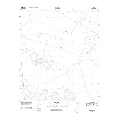 2010 Ozark Lake2010 Print · USGSCrane County ranching culture is on full display here in the early 21st century, showing a landscape defined by water and wind. Researchers can trace the layout of family landmarks like Estes Ranch and numerous named sites including Gyp Flats Windmill and Ozark Lake.
 - 2010 Map of Soda Lake NW, 2010 Print
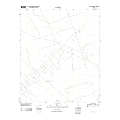 2010 Soda Lake NW2010 Print · USGSWard County's energy landscape is on full display in this early 21st-century survey of the West Texas plains. Genealogists and industrial historians can trace the intricate network of ranch roads and oil infrastructure, from the Meridian Oil Field to the Red Tank Windmill.
 - 2010 Map of Cowden Place, 2010 Print
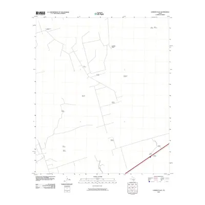 2010 Cowden Place2010 Print · USGSWest Texas ranching and oil extraction intersect in this 2010 survey of Winkler County. Researchers can trace the layout of the Arenosa Oil Field and locate numerous named water features such as Little Diamond Windmill, Coyote Windmill, and Cowden Place.
 - 2010 Map of Sand Lake, 2010 Print
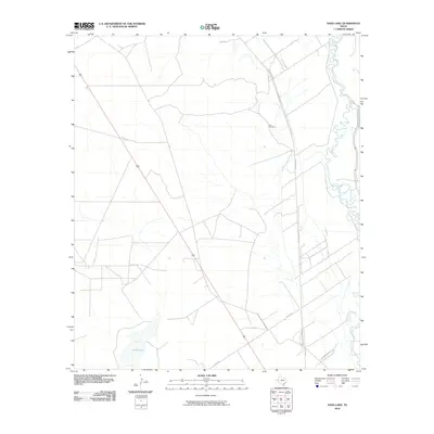 2010 Sand Lake2010 Print · USGSReeves County, Texas, is mapped here in the early twenty-first century as the landscape maintains its rural ranching character. Genealogists and researchers can locate the Lara Cemetery and trace the winding course of the Pecos River.
 - 2010 Map of Pyote NE, 2010 Print
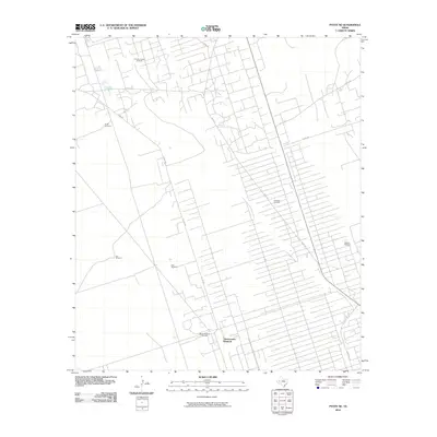 2010 Pyote NE2010 Print · USGSThe West Texas oil country comes into sharp focus during the modern energy boom, showing a landscape defined by industrial development. Trace the intersection of resource extraction and local infrastructure through landmarks like the Magnolia Sealy Oil Field and the ThreeCorner Windmill.
 - 2010 Map of Wink South, 2010 Print
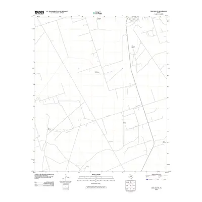 2010 Wink South2010 Print · USGSThe West Texas range south of Wink appears in the early twenty-first century as a land of isolated ranch outposts and vital water points. Researchers can trace rural routes like Little Joe Rd to find landmarks such as the Old Brookfield Windmill and Jakes Windmill.
 - 2010 Map of Quito Draw, 2010 Print
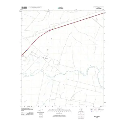 2010 Quito Draw2010 Print · USGSReeves County in the early twenty-first century reveals a landscape where modern industrial infrastructure meets ancient desert waterways. Trace the winding Pecos River near the Scott Delaware Oil Field and the topographic prominence of Hays Hill.
 - 2010 Map of China Ranch, 2010 Print
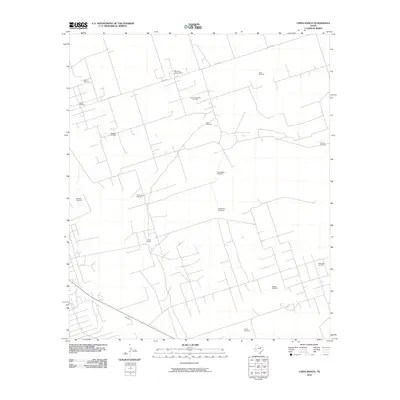 2010 China Ranch2010 Print · USGSTexas petroleum and ranching history converge north of Monahans during the first decade of the 21st century. Researchers can trace the layout of the North Monahans Oil Field and locate local landmarks such as China Ranch and Old Redtop Windmill.
 - 2010 Map of Monahans SE, 2010 Print
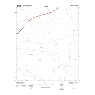 2010 Monahans SE2010 Print · USGSMonahans in the late 2000s shows a working landscape where the oil industry meets historic ranching grounds. Researchers can trace land use through named water features like HighLonesome Windmill and petroleum production at the Janelle Oil Field.
 - 2010 Map of Soda Lake SE, 2010 Print
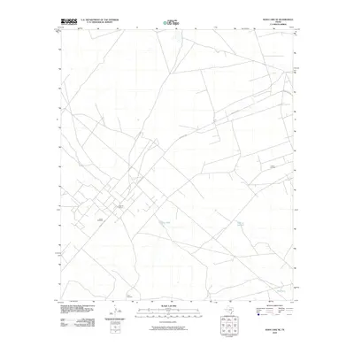 2010 Soda Lake SE2010 Print · USGSWest Texas ranching and petroleum production define this Ward County landscape as it appeared in the early 2010s. Researchers can trace the intersection of ranching and oil at the Quito Oil Field and family-named landmarks like Hays Windmill.
 - 2010 Map of Soda Lake NE, 2010 Print
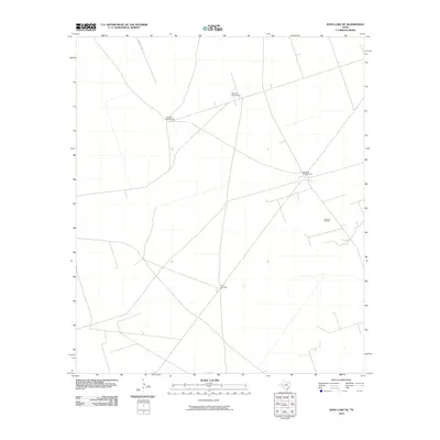 2010 Soda Lake NE2010 Print · USGSWinkler County ranching and oil extraction intersect in this early twenty-first-century survey of the West Texas plains. Researchers can locate specific industrial and agricultural landmarks like the Little Joe Oil Field, China Windmill, and Windmill Number Two.
 - 2010 Map of Grandfalls, 2010 Print
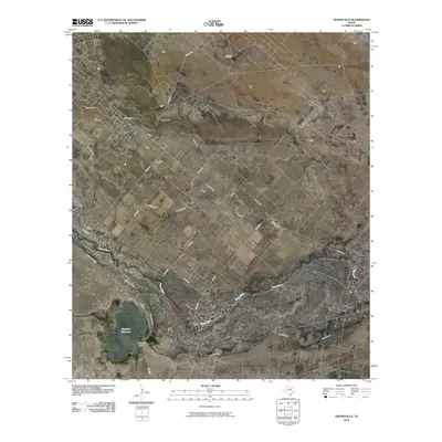 2010 Grandfalls2010 Print · USGSGrandfalls and the surrounding West Texas oil fields are captured here during a period of modern irrigation and energy production. Genealogists and researchers can trace local landmarks like Tamarisk Cemetery or follow the path of the Pecos River and Grandfalls Canal.
 - 2010 Map of Mentone, 2010 Print
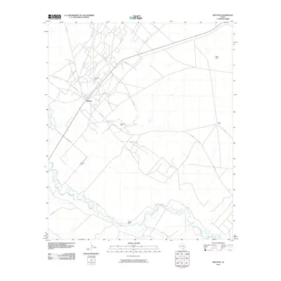 2010 Mentone2010 Print · USGSMentone and the surrounding West Texas plains are captured here in the early twenty-first century as the energy sector and ranching define the local economy. Researchers can trace land use and rural infrastructure through named sites like Wheat Ranch, Texas Bend, and the Wheat Oil Field.
 - 2010 Map of China Lake, 2010 Print
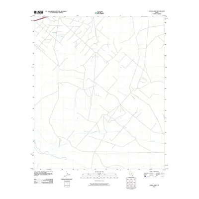 2010 China Lake2010 Print · USGSReeves County, Texas, was a landscape of remote ranchlands and critical water management at the start of the 21st century. Researchers can trace the path of the Pecos River or locate local landmarks like China Lake and the Big Valley Canal.
 - 2010 Map of Ligon Ranch, 2010 Print
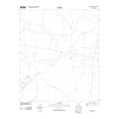 2010 Ligon Ranch2010 Print · USGSThis Pecos County landscape in the early twenty-first century shows a working environment of ranching and energy extraction. Researchers can trace the layout of the West Waha Oil Field or the unique footprint of the Bf Goodrich Testing Track Rd.
 - 2010 Map of Monahans, 2010 Print
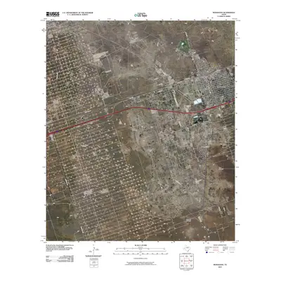 2010 Monahans2010 Print · USGSMonahans and the surrounding Permian Basin plains are captured here in the early twenty-first century as energy and ranching define the landscape. Trace the growth of the community near Thorntonville or locate landmarks like the Ward Estes North Oil Field and Wagonwheel Ranch.
 - 2010 Map of Pyote East, 2010 Print
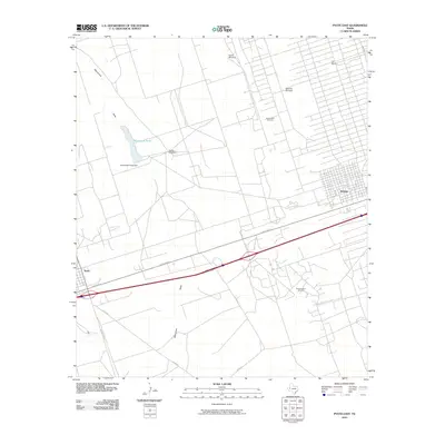 2010 Pyote East2010 Print · USGSMonahans and the surrounding West Texas oil country come to life in this survey from the early 2000s. Genealogists and industrial historians can trace the intersection of ranching and energy at Tie Ranch, the South Sealy Oil Field, and Monument Pond.
 - 2010 Map of Pyote West, 2010 Print
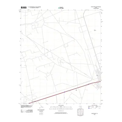 2010 Pyote West2010 Print · USGSPyote and the surrounding West Texas plains are captured here in the early twenty-first century. Researchers can trace the layout of the Pyote townsite and locate outlying markers of ranching life like the Wilson Ranch and Rogers Windmill.
 - 2010 Map of Rio Pecos Ranch, 2010 Print
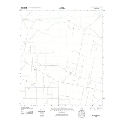 2010 Rio Pecos Ranch2010 Print · USGSPecos County at the start of the decade reveals a landscape where ranching and energy production meet along the Pecos River. Trace the footprint of the Waha Oil Field or locate local landmarks like Rio Pecos Ranch and Twin Windmills.
 - 2010 Map of Pecos East, 2010 Print
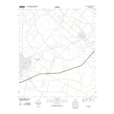 2010 Pecos East2010 Print · USGSThe Pecos River valley in the early twenty-first century reveals a landscape defined by industrial growth and intricate irrigation. Genealogists and local historians can trace the developments around Pecos and Barstow, including Santa Rosa Cemetery and the extensive Main Line Canal system.
 - 2010 Map of 7 L Ranch, 2010 Print
 2010 7 L Ranch2010 Print · USGSWard County ranchlands and energy infrastructure are captured here in the early twenty-first century. Researchers can trace the layout of the South Ward Oil Field and irrigation routes like the Grandfalls Canal near Seven L Ranch.
 - 2010 Map of Soda Lake, 2010 Print
 2010 Soda Lake2010 Print · USGSReeves County, Texas, is defined by its industrial energy footprint and desert irrigation networks in the early twenty-first century. Researchers can trace the water infrastructure of the Cedarvale Canal or locate local landmarks like Dunegan Ranch and the Monroe Oil Field.
 - 2010 Map of China Lake NE, 2010 Print
 2010 China Lake NE2010 Print · USGSReeves County at the start of the decade reveals a landscape where desert irrigation and the petroleum industry meet. Genealogists and researchers can locate Wilks Cemetery or trace the winding course of the Pecos River near the Spencer Oil Field.
 - 2010 Map of Grandfalls SW, 2010 Print
 2010 Grandfalls SW2010 Print · USGSPecos County's arid landscape is defined by an intricate network of irrigation and oil extraction in the early twenty-first century. Researchers can trace the water systems of the Imperial Ditch and Grandfalls Canal or locate the Kugle Oil Field.
 - 2012 Map of Grandfalls SW, 2012 Print
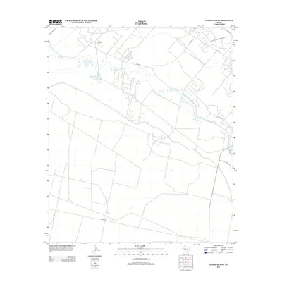 2012 Grandfalls SW2012 Print · USGSThe Pecos River valley in the early 2010s reveals a landscape defined by desert irrigation and energy production. Researchers can trace the extensive water works of the Imperial Ditch and Grandfalls Canal or locate the Kugle Oil Field.
Showing maps 1-25 of 96
Top cities of Ward County
- Thorntonville historical maps
- Wickett historical maps
- Barstow historical maps
- Grandfalls historical maps
- Pyote historical maps
Frequently asked questions
- What are the different types of historical maps available for Ward County?
- What is the oldest map of Ward County?
- Where can I purchase historical maps of Ward County for my home or office?
- Where can I download high-res historical maps of Ward County?
- Are there historical topographic maps available for Ward County?
- Is there historical aerial imagery available for Ward County?
- Where are historical maps of Ward County sourced from?