2010s Maps of Blanding, Utah
Explore 12 historic maps of Blanding from the 2010s. These maps offer a rare glimpse into what life looked like during the 2010s — showing old roads, neighborhoods, homes, and landmarks that have changed or disappeared over time.
Whether you're researching your family's past, planning a metal detecting trip, or studying how Blanding's landscape evolved across the 2010s, these high-resolution maps are a powerful tool for exploring the history of this region.
- Focus on a specific era: All maps on this page are from the 2010s, giving you a focused view of this time period.
- See what’s changed: Compare century-old streets, trails, and buildings to today's modern landscape using overlays and satellite layers.
- Research with precision: Use these maps for genealogy, historical research, land use analysis, or educational projects.
- View, download, or print: Maps are fully viewable online in high resolution, and can be downloaded or printed for your own records.
Start exploring Blanding's history through authentic maps from the 2010s. This is your window into the past.
Blanding, UT maps
(12)- 2010 Map of Black Mesa Butte, 2010 Print
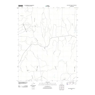 2010 Black Mesa Butte2010 Print · USGSSan Juan County at the turn of the millennium remains a landscape of deep canyons and high mesas, defined by its watercourses and early mining history. Researchers can trace the routes of Army Rd and Butler Wash Rd while locating the Ford Mine Shaft and the uniquely named Cheese and Raisins Hills.
 - 2010 Map of Blanding South, 2010 Print
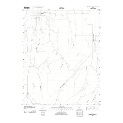 2010 Blanding South2010 Print · USGSThe high desert south of Blanding is captured here in the early twenty-first century, showing the transition from town to the dramatic canyonlands. Researchers can trace land features like White Mesa, local landmarks like Posey S Last Shot, and the winding course of Recapture Creek.
 - 2011 Map of Blanding North, 2011 Print
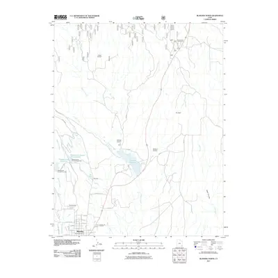 2011 Blanding North2011 Print · USGSBlanding sits at the edge of the high desert in the early twenty-first century, serving as a gateway to the canyons and mesas of San Juan County. Genealogists and local historians can trace the town's expansion toward Pinenut Knoll or locate families in the Blanding City Cemetery.
 - 2011 Map of Mancos Jim Butte, 2011 Print
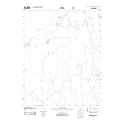 2011 Mancos Jim Butte2011 Print · USGSSan Juan County’s high canyon country is documented here in the early twenty-first century, showing the critical water infrastructure and complex terrain northwest of Blanding. You can trace the rugged Brushy Basin Rim and locate landmarks like Mancos Jim Butte and the Blanding City Reservoirs.
 - 2014 Map of Blanding North, 2014 Print
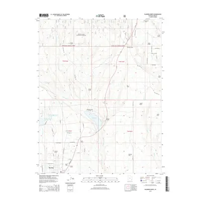 2014 Blanding North2014 Print · USGSSoutheastern Utah’s desert plateaus and canyon networks are captured here in the mid-2010s. Local researchers can trace the development of Blanding and White Mesa or locate rural landmarks like Blanding City Cem and the expansive Recapture Reservoir.
 - 2014 Map of Black Mesa Butte, 2014 Print
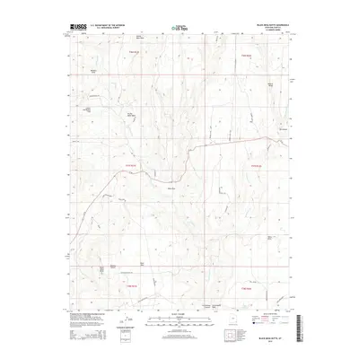 2014 Black Mesa Butte2014 Print · USGSSoutheast Utah’s high plateaus are documented here in the early twenty-first century, showing a landscape defined by mesa-top travel and deep drainage systems. Researchers can locate remote landmarks like Shumway Mines Rd, the Natural Bridge, and the Black Mesa Missile site.
 - 2014 Map of Mancos Jim Butte, 2014 Print
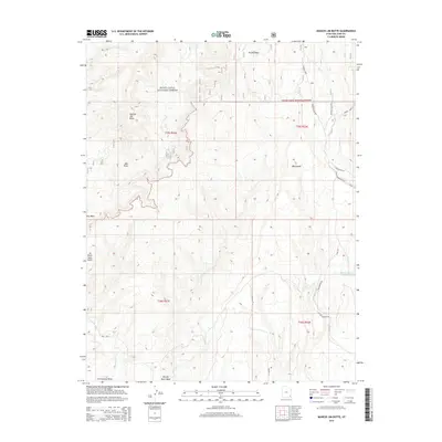 2014 Mancos Jim Butte2014 Print · USGSSan Juan County at the turn of the millennium reveals a landscape of high-elevation buttes and essential water infrastructure. Trace local landmarks like Mancos Jim Butte or follow the route of Johnson Creek Rd toward the Blanding City Reservoirs.
 - 2014 Map of Blanding South, 2014 Print
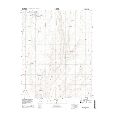 2014 Blanding South2014 Print · USGSBlanding and its southern canyonlands are captured here in the early 2010s as the town transitions into the high desert plateaus. Researchers can trace local landmarks from the Blanding Municipal Airport to the deep drainages of Recapture Cr and Mustang Canyon.
 - 2017 Map of Blanding North, 2017 Print
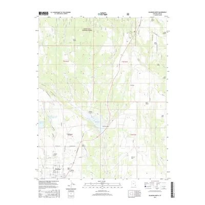 2017 Blanding North2017 Print · USGSThe high plateau of San Juan County comes into focus in this late twenty-tens survey of the area north of Blanding. Genealogists and local historians can trace the town's expansion toward White Mesa and locate the Blanding City Cemetery and The Park.
 - 2017 Map of Mancos Jim Butte, 2017 Print
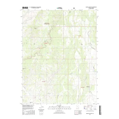 2017 Mancos Jim Butte2017 Print · USGSBlanding is shown at the threshold of the San Juan County canyonlands in the late twenty-teens. Local researchers can trace water sources and backcountry access through the Blanding City Reservoirs, Mancos Jim Butte, and Forest Rd 092.
 - 2017 Map of Black Mesa Butte, 2017 Print
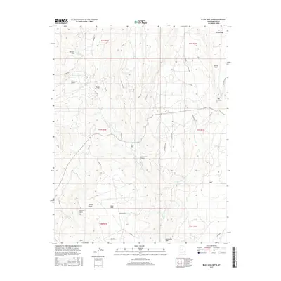 2017 Black Mesa Butte2017 Print · USGSBlanding and its surrounding canyons are captured here in the late twenty-teens, showing the intersection of high-desert geology and local industry. Genealogists and historians can trace routes to Shumway Mines, find family landmarks like WARREN ALLEN, or locate the Natural Bridge.
 - 2017 Map of Blanding South, 2017 Print
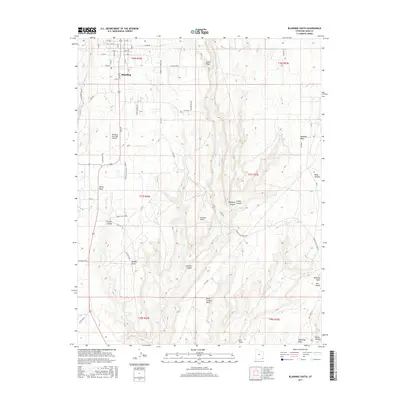 2017 Blanding South2017 Print · USGSBlanding and the surrounding San Juan County plateaus are shown here in the late twenty-tens as the high desert landscape meets local ranching and aviation. Genealogists and local historians can trace family-named sites and landmarks like Posey S Last Shot, Murphy Point, and the White Mesa community.
End of results
Showing maps 1-12 of 12
Top cities near Blanding
Frequently asked questions
- What are the different types of historical maps available for Blanding?
- What is the oldest map of Blanding?
- Where can I purchase historical maps of Blanding for my home or office?
- Where can I download high-res historical maps of Blanding?
- Are there historical topographic maps available for Blanding?
- Is there historical aerial imagery available for Blanding?
- Where are historical maps of Blanding sourced from?