Old Maps of Monroe, Utah for Genealogy
Trace your family roots with 34 historic maps of Monroe. These high-res maps reveal old neighborhoods, homesites, landmarks, and streets — helping you uncover where your ancestors lived and how the area evolved over time.
- Explore historic neighborhoods: Identify where your relatives may have lived in the 1800s or 1900s.
- Compare maps over time: Trace the changes in streets, buildings, and landmarks for multi-generational research.
- Perfect for genealogy & ancestry research: Used by family historians and researchers to map out lineage and migration.
These maps are an incredible resource for exploring your personal connection to Monroe's past.
Monroe, UT maps
(34)- 1885 Map of Beaver
 1885 Beaver1885 Print · USGSSouth-central Utah in the 1880s was a landscape of high plateaus and valley settlements tied to the lifelines of the Sevier River and Beaver Creek. Family researchers can trace early town layouts in Beaver and Fillmore or locate rural outposts like Minersville and Kanosh.5 unique versions available
 - 1940 Map of Monroe, 1957 Print
 1940 Monroe1957 Print · USGSThe Sevier River valley was a thriving corridor of rail and irrigation just before the mid-century. Researchers can trace the path of the Denver and Rio Grande Western Railroad through Monroe or locate the Antelope Mine and Poverty Flat Ranch.2 unique versions available
 - 1944 Map of Monroe
 1944 Monroe1944 Print · USGSThe Sevier River Valley thrived as a hub of irrigation and rail transport in the mid-twentieth century. Genealogists and historians can trace the foundations of Monroe, Elsinore, and Annabella alongside the ANTELOPE MINE and Poverty Flat Ranch.
 - 1953 Map of Richfield, 1963 Print
 1953 Richfield1963 Print · USGSCentral Utah in the early fifties reveals a complex geography of high plateaus and desert basins tied together by the Union Pacific rail lines. Genealogists and historians can trace family roots in Richfield or Kanosh and locate remote operations like the Blue Star Mine or Newhouse.3 unique versions available
 - 1958 Map of Richfield
 1958 Richfield1958 Print · USGSCentral Utah in the late fifties shows a landscape of mountain forests and desert basins connected by the Union Pacific Railroad. Genealogists and historians can trace rail stops at Nada Station, mines like the Blue Star Mine, and tribal lands of the Paiute Indian Reservation.2 unique versions available
 - 1980 Map of Antelope Range, 1981 Print
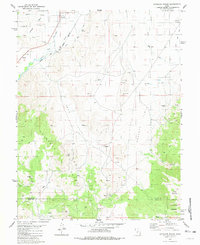 1980 Antelope Range1981 Print · USGSThe Sevier River valley in the early 1980s shows a landscape of rail-fed settlements and mountain mining. Trace family roots in Joseph and Sevier, or locate historic workings like the Antelope Mine and the irrigation network of Bertlesen Ditch.2 unique versions available
 - 1980 Map of Monroe Peak, 1981 Print
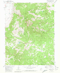 1980 Monroe Peak1981 Print · USGSThe high country of the Sevier-Piute border is captured here in the early 1980s, where high-altitude meadows meet essential irrigation infrastructure. Researchers can trace remote mountain trails and land use around Monroe Peak, Monrovian Park Campground, and Monroe Meadows.2 unique versions available
 - 1980 Map of Elsinore, 1981 Print
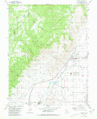 1980 Elsinore1981 Print · USGSThe Sevier River valley thrives as an irrigated agricultural corridor in the early 1980s, where rail and water define the landscape. Local historians can trace the paths of the Denver and Rio Grande Western through Elsinore and Joseph, or locate rural landmarks like the Rodeo Ground and regional Cemeteriers.
 - 1980 Map of Annabella, 1981 Print
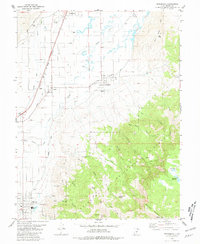 1980 Annabella1981 Print · USGSThe Sevier River valley in the early eighties shows a landscape shaped by irrigation and the railroad. Genealogists and historians can trace the communities of Annabella, Central, and Austin, or locate landmarks like South Sevier High Sch and the Municipal Airport.
 - 1980 Map of Richfield, 1987 Print
 1980 Richfield1987 Print · USGSCentral Utah in the early eighties shows a landscape of volcanic fields and high mountain forests. Genealogists can trace family roots through the Sevier River valley in Richfield, Fillmore, and Monroe, or follow the Union Pacific rail lines.2 unique versions available
 - 2001 Map of Monroe Peak, 2003 Print
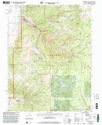 2001 Monroe Peak2003 Print · USGSThe high plateaus of Sevier County come to life in this early 2000s survey, detailing a landscape shaped by forest management and water rights. Trace the historic South Bend Canal or locate local landmarks like Monroe Peak and Fitzgerald Park.
 - 2001 Map of Elsinore, 2003 Print
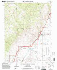 2001 Elsinore2003 Print · USGSThe Sevier Valley at the turn of the millennium was a hub of irrigation-based agriculture and small-town life. Researchers can trace the path of historic waterworks like the Elsinore Canal and locate family landmarks in Elsinore, Joseph, and Monroe.
 - 2001 Map of Annabella, 2003 Print
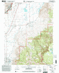 2001 Annabella2003 Print · USGSSevier County's valley floor was a complex network of irrigation and small-town life at the turn of the millennium. Researchers can trace the paths of the Prattsville Canal, locate South Sevier High School in Monroe, or explore the high-elevation terrain of Glenwood Mountain.
 - 2001 Map of Antelope Range, 2003 Print
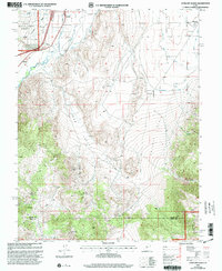 2001 Antelope Range2003 Print · USGSThe Sevier River valley comes into focus in the early 2000s, showing the settled corridor between Joseph and Monroe alongside the Antelope Range. Researchers can trace irrigation networks like Bentleson Ditch and find local landmarks such as Bald Knoll and the Graveyard in Joseph Hollow.
 - 2011 Map of Antelope Range, 2011 Print
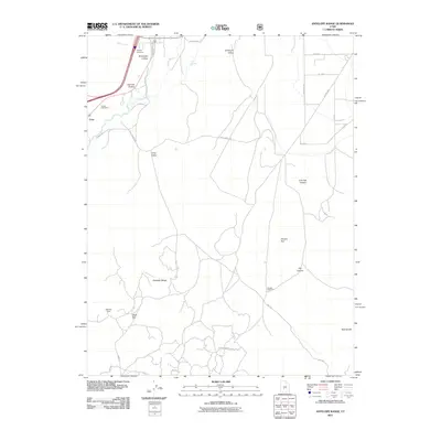 2011 Antelope Range2011 Print · USGSSevier County's high-desert ranching and mining country is documented here in the early twenty-first century. Genealogists and researchers can locate Joseph Cemetery, trace the Sevier Valley Canal, or find the high-altitude Antelope Mine and Poverty Flat Ranch.
 - 2011 Map of Annabella, 2011 Print
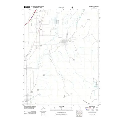 2011 Annabella2011 Print · USGSRichfield and the Sevier River valley are depicted here in the early twenty-first century, showcasing a landscape deeply tied to its irrigation history. Researchers can locate family sites and landmarks like the Annabella Cemetery, Annabella Reservoir, and the Annabella Post Office.
 - 2011 Map of Monroe Peak, 2011 Print
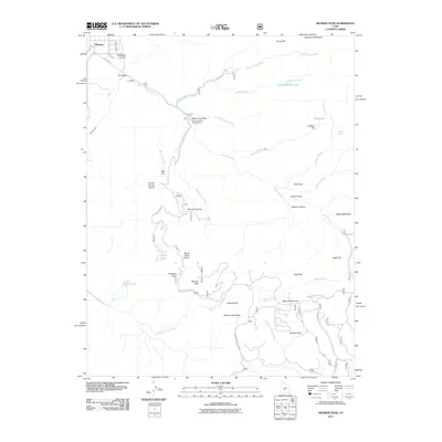 2011 Monroe Peak2011 Print · USGSThe high Sevier County backcountry near Monroe is captured here in the early twenty-first century, showing a landscape of alpine meadows and deep canyons. Researchers can trace historic water routes and high-mountain landmarks from Bertlesen Ditch to Monrovian Park and the summit of Monroe Peak.
 - 2011 Map of Elsinore, 2011 Print
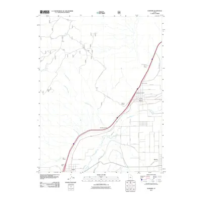 2011 Elsinore2011 Print · USGSSevier County's river valley and irrigation networks are shown in detail during the early twenty-first century. Researchers can trace the layout of Elsinore and Monroe or locate family sites near the Elsinore Cemetery and the Sevier Valley Canal.
 - 2014 Map of Monroe Peak, 2014 Print
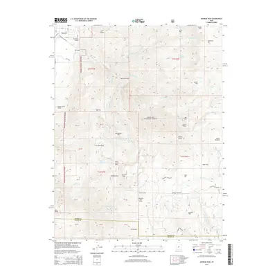 2014 Monroe Peak2014 Print · USGSThe Sevier Valley climbs into the high plateaus of the Fishlake National Forest during the mid-2010s. Researchers can trace the path of the Bertlesen Ditch, locate the quiet waters of Hunts Lakes, or identify family-named landmarks like Nielsen Canyon and Fitzgerald Park.
 - 2014 Map of Annabella, 2014 Print
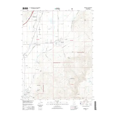 2014 Annabella2014 Print · USGSSevier County towns and their vital irrigation canals are captured here during the early twenty-first century. Genealogists and local historians can trace the layouts of Annabella, Central Valley, and Nibley, or locate the Monroe City Cem and the local Sawmill.
 - 2014 Map of Antelope Range, 2014 Print
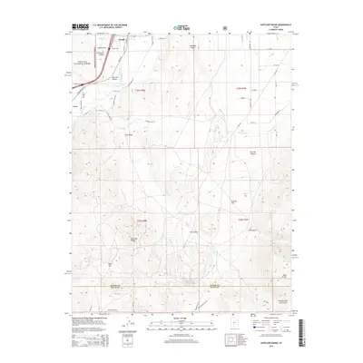 2014 Antelope Range2014 Print · USGSSevier County ranching and mining land comes into focus in the early twenty-first century as the Sevier River valley meets the Fishlake National Forest. Genealogists and researchers can locate the Joseph Cem, trace the path of the Sevier Valley Canal, or find the VCA Mine in the foothills.
 - 2014 Map of Elsinore, 2014 Print
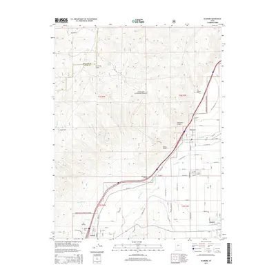 2014 Elsinore2014 Print · USGSElsinore and Monroe sit at the heart of the Sevier Valley during the early twenty-first century, where the desert landscape is transformed by a network of historic canals. Researchers can trace family roots at the Elsinore Cem or study the agricultural layout of Joseph and the Sevier Valley Canal.
 - 2017 Map of Annabella, 2017 Print
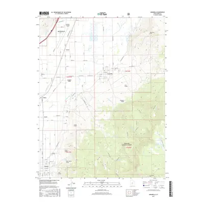 2017 Annabella2017 Print · USGSSevier County settlements along the river valley are captured here just before the end of the second decade of the 2000s. Researchers can trace irrigation networks like the Annabella Canal or locate ancestors at the Central Valley Cem and Annabella Cem.
 - 2017 Map of Monroe Peak, 2017 Print
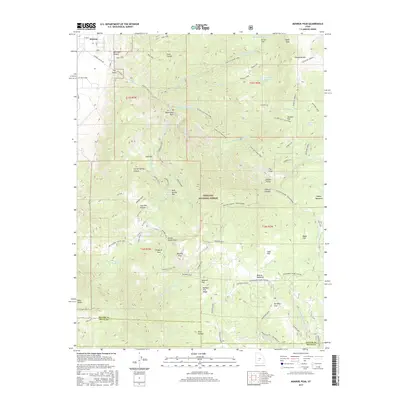 2017 Monroe Peak2017 Print · USGSSevier County's high-country ranching and forest management history is captured here in the years following the millennium. Genealogists and local historians can trace family-named sites like Brindley Dairy, Pvt Mills Farm, and the administrative Koosharem Guard Station.
 - 2017 Map of Antelope Range, 2017 Print
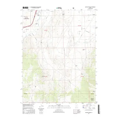 2017 Antelope Range2017 Print · USGSThe Sevier River valley in central Utah remains a landscape of high-desert agriculture and rising peaks in the years before the decade's end. Genealogists and local historians can trace the irrigation networks of Sevier Valley Canal and locate family burial sites at Joseph Cem and Sevier Cems.
Showing maps 1-25 of 34
Top cities near Monroe
- Richfield historical maps
- Elsinore historical maps
- Annabella historical maps
- Glenwood historical maps
- Sigurd historical maps
- Central Valley historical maps
See more
Frequently asked questions
- What are the different types of historical maps available for Monroe?
- What is the oldest map of Monroe?
- Where can I purchase historical maps of Monroe for my home or office?
- Where can I download high-res historical maps of Monroe?
- Are there historical topographic maps available for Monroe?
- Is there historical aerial imagery available for Monroe?
- Where are historical maps of Monroe sourced from?