2010s Maps of Fauquier County, Virginia
Explore 88 historic maps of Fauquier County from the 2010s. These maps offer a rare glimpse into what life looked like during the 2010s — showing old roads, neighborhoods, homes, and landmarks that have changed or disappeared over time.
Whether you're researching your family's past, planning a metal detecting trip, or studying how Fauquier County's landscape evolved across the 2010s, these high-resolution maps are a powerful tool for exploring the history of this region.
- Focus on a specific era: All maps on this page are from the 2010s, giving you a focused view of this time period.
- See what’s changed: Compare century-old streets, trails, and buildings to today's modern landscape using overlays and satellite layers.
- Research with precision: Use these maps for genealogy, historical research, land use analysis, or educational projects.
- View, download, or print: Maps are fully viewable online in high resolution, and can be downloaded or printed for your own records.
Start exploring Fauquier County's history through authentic maps from the 2010s. This is your window into the past.
Fauquier County, VA maps
(88)- 2010 Map of Storck, 2010 Print
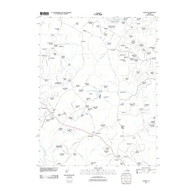 2010 Storck2010 Print · USGSStafford County at the start of the 2010s shows a landscape where historic landholdings meet modern residential growth. Researchers can trace family history through local landmarks like Roseville Plantation, Antioch Cemetery, and the Hartwood Winery.
 - 2010 Map of Remington, 2010 Print
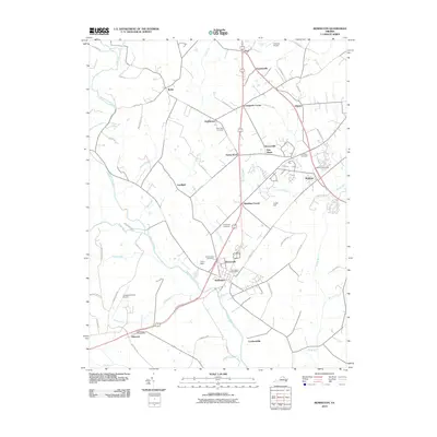 2010 Remington2010 Print · USGSFauquier and Culpeper Counties appear in detail during the early 2010s, centered on the riverfront town of Remington and the crossroads at Bealeton. Researchers can trace local heritage through several burial grounds like Cedar Grove Cemetery or locate regional landmarks like the Culpeper County Airport.
 - 2010 Map of Upperville, 2010 Print
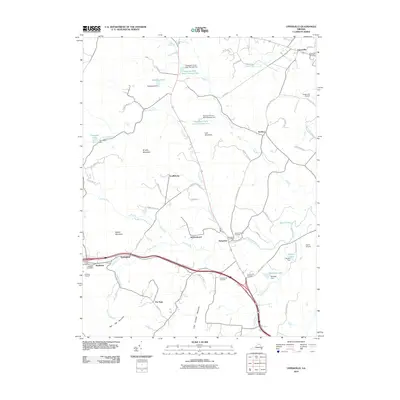 2010 Upperville2010 Print · USGSIn the horse country of the Virginia Piedmont during the early twenty-first century, this landscape shows a network of historic villages and mountain ridges. Trace family history and land use through Stribling Orchard, Cool Spring Cemetery, and the old crossroads at Delaplane.
 - 2010 Map of Nokesville, 2010 Print
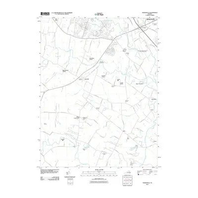 2010 Nokesville2010 Print · USGSNokesville and the surrounding Prince William County countryside are captured in this 2010 survey as suburban growth begins to meet traditional Virginia farmsteads. Local historians can trace old community hubs like Aden, historical burials at White Hall Cemetery, and landmarks like Daniels Mill.
 - 2010 Map of Rectortown, 2010 Print
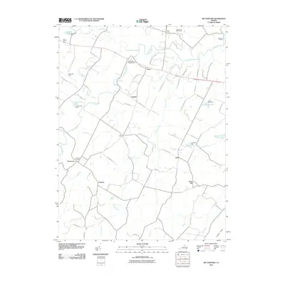 2010 Rectortown2010 Print · USGSFauquier County’s horse country and historic hamlets are preserved in this 2010 survey of the Piedmont. Researchers can locate family landmarks and rural crossroads like Rectortown, Frogtown, and the historic Goose Creek Stone Bridge.
 - 2010 Map of Orlean, 2010 Print
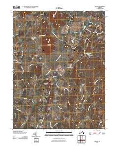 2010 Orlean2010 Print · USGSThe Virginia Piedmont near Orlean and Hume is captured here during the first decade of the 21st century. Genealogists can trace several local burial grounds, including Leeds Cemetery and Thumb Run Cemetery, while exploring settlements like Vernon Mills and Ashville.
 - 2010 Map of Richardsville, 2010 Print
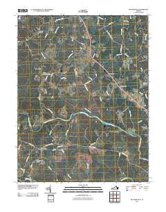 2010 Richardsville2010 Print · USGSThe confluence of the Rappahannock and Rapidan rivers serves as the backdrop for this northern Virginia landscape in 2010. Genealogists and historians can trace crossroads communities like Sumerduck, Goldvein, and family landmarks such as Embry Cemetery.
 - 2010 Map of Marshall, 2010 Print
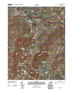 2010 Marshall2010 Print · USGSNorthern Fauquier County is documented here at the start of the 2010s, showing the enduring structure of its historic hamlets and mountain ridges. Researchers can trace local landmarks like Old Tavern, The Plains, and the small airfields at Airlie Airport.
 - 2010 Map of Brandy Station, 2010 Print
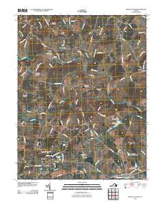 2010 Brandy Station2010 Print · USGSCulpeper County at the turn of the decade is a landscape of historic river crossings and rural aviation. Genealogists and historians can trace family-named sites from Sheads Mountain to Alanthus, and locate landmarks like Freemans Ford and the Kerrick Bridge.
 - 2010 Map of Jeffersonton, 2010 Print
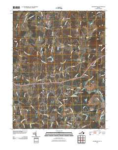 2010 Jeffersonton2010 Print · USGSThe Virginia Piedmont at the start of the 2010s shows a landscape of growing residential estates centered around the Rappahannock River. Researchers can trace the layout of contemporary developments like Countryside Estates alongside older sites like Waterloo Bridge and Cliff Mills.
 - 2010 Map of Middleburg, 2010 Print
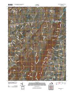 2010 Middleburg2010 Print · USGSLoudoun and Prince William counties are captured in this 2010 survey of the area surrounding Middleburg and Aldie. Genealogists and historians can locate legacy sites like Aldie Mill, the Mount Pleasant Cemetery, and the historic State Prison Camp Number 26.
 - 2010 Map of Germanna Bridge, 2010 Print
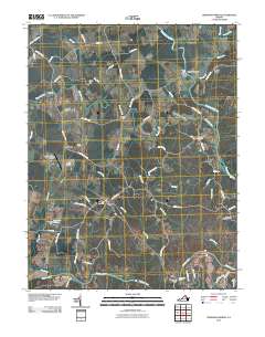 2010 Germanna Bridge2010 Print · USGSThe river crossings of Culpeper County are captured here at the start of the 2010s, showcasing the rural road networks and water gaps of the Rappahannock valley. Researchers can pinpoint legacy sites such as Lael Cemetery, Kellys Ford, and the old Stones Mill.
 - 2010 Map of Midland, 2010 Print
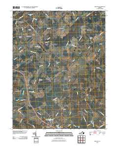 2010 Midland2010 Print · USGSFauquier County at the start of the 2010s shows a unique concentration of aviation sites and rural crossroads. Researchers can trace family history through sites like the Midland Cemetery, the Franklin Mine, and small settlements such as Blackwell Town and Striblings Corner.
 - 2010 Map of Somerville, 2010 Print
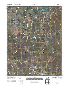 2010 Somerville2010 Print · USGSThe rural Virginia landscape near Somerville and Brent Town is captured here in the early twenty-first century. Researchers can trace local heritage through landmarks like Tacketts Mill, Hearts Delight Cemetery, and the crossroads at Bristersburg.
 - 2010 Map of Thoroughfare Gap, 2010 Print
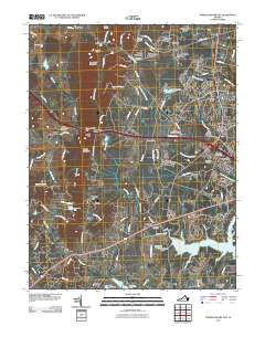 2010 Thoroughfare Gap2010 Print · USGSNorthern Virginia’s Bull Run Mountains define this landscape in 2010, where historic gaps and mills meet growing suburban communities. Trace family sites at Buckland Cemetery, find the Haymarket Post Office, or locate the landmark Beverley Mill near Thoroughfare.
 - 2010 Map of Chester Gap, 2010 Print
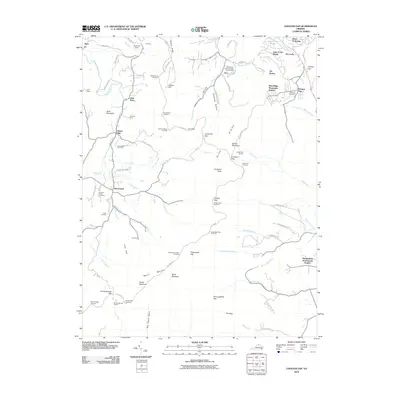 2010 Chester Gap2010 Print · USGSThe Blue Ridge crest meets the Virginia Piedmont in the 2010s, showing the high-altitude route of Skyline Drive through the gaps. Trace local history through family sites like Williams Cemetery and the old community at Browntown or Boyds Mill.
 - 2010 Map of Linden, 2010 Print
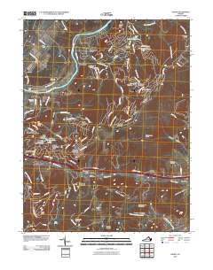 2010 Linden2010 Print · USGSNear the historic passage of Manassas Gap in the early twenty-first century, this area shows a mix of traditional orchards and growing mountain communities. Trace family roots and local landmarks from Howellsville Cemetery to the Linden Post Office.
 - 2010 Map of Massies Corner, 2010 Print
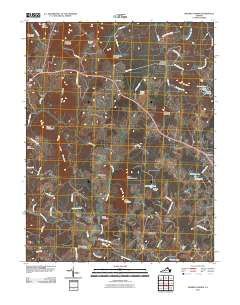 2010 Massies Corner2010 Print · USGSRappahannock County remains deeply rural in the early twenty-first century, defined by its river valleys and foothill ridges. Researchers can trace historic crossroads and family land at Laurel Mills, Newbus Cross Roads, and the eponymous Massies Corner.
 - 2010 Map of Flint Hill, 2010 Print
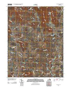 2010 Flint Hill2010 Print · USGSThe Virginia Piedmont at the start of the 21st century remains a landscape of sprawling estates and historic river crossings. Genealogists and local historians can trace legacy properties like Wakefield Manor or locate quiet landmarks such as Rockland Cemetery and Black Rock Ford.
 - 2010 Map of Ashby Gap, 2010 Print
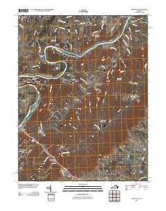 2010 Ashby Gap2010 Print · USGSThe Shenandoah River and the slopes of the Blue Ridge define this portion of Clarke County during the early 21st century. Historians can trace local landmarks like Castlemans Ferry, the village of Paris, and the strategic crossing at Ashby Gap.
 - 2011 Map of Warrenton, 2011 Print
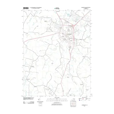 2011 Warrenton2011 Print · USGSFauquier County at the start of the 2010s shows a landscape where the busy hub of Warrenton meets the quiet reaches of the Rappahannock River. Researchers can trace old family lands like Oakwood Farm or find the historic grounds of Fauquier White Sulphur Springs.
 - 2011 Map of Catlett, 2011 Print
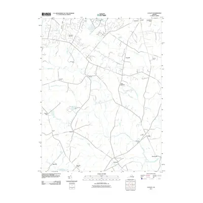 2011 Catlett2011 Print · USGSCatlett and its neighboring Virginia hamlets are shown in the early twenty-first century amidst a network of historic rural roads. Researchers can trace family sites at Greenwich Cemetery, locate the old Balls Mill, and find vanished landmarks like Oak Tree Corner.
 - 2013 Map of Massies Corner, 2013 Print
 2013 Massies Corner2013 Print · USGSRappahannock County is shown in the early twenty-first century as a landscape of historic crossroads and mountain peaks. Trace ancestral lands and local landmarks like Laurel Mills, the Williams Orchard, and the small settlements of Ben Venue and Viewtown.
 - 2013 Map of Flint Hill, 2013 Print
 2013 Flint Hill2013 Print · USGSThe foothills of Rappahannock County come into focus here, showing the rural character of northern Virginia in the early twenty-first century. Researchers can trace historical routes and local estates from Flint Hill and Huntly to the banks of the Jordan River.
 - 2013 Map of Linden, 2013 Print
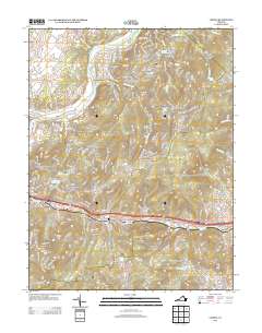 2013 Linden2013 Print · USGSThe Blue Ridge landscape at Manassas Gap is shown here in the early twenty-first century as a mix of mountain retreats and traditional orchards. Researchers can trace the Appalachian Trail past Camp Wamava or locate family-named sites like Monterey Orchards and Howellsville.
Showing maps 1-25 of 88
Top cities of Fauquier County
- Warrenton historical maps
- Bealeton historical maps
- Marshall historical maps
- Remington historical maps
- Opal historical maps
- Catlett historical maps
See more
Frequently asked questions
- What are the different types of historical maps available for Fauquier County?
- What is the oldest map of Fauquier County?
- Where can I purchase historical maps of Fauquier County for my home or office?
- Where can I download high-res historical maps of Fauquier County?
- Are there historical topographic maps available for Fauquier County?
- Is there historical aerial imagery available for Fauquier County?
- Where are historical maps of Fauquier County sourced from?