2020s Maps of Fauquier County, Virginia
Explore 22 historic maps of Fauquier County from the 2020s. These maps offer a rare glimpse into what life looked like during the 2020s — showing old roads, neighborhoods, homes, and landmarks that have changed or disappeared over time.
Whether you're researching your family's past, planning a metal detecting trip, or studying how Fauquier County's landscape evolved across the 2020s, these high-resolution maps are a powerful tool for exploring the history of this region.
- Focus on a specific era: All maps on this page are from the 2020s, giving you a focused view of this time period.
- See what’s changed: Compare century-old streets, trails, and buildings to today's modern landscape using overlays and satellite layers.
- Research with precision: Use these maps for genealogy, historical research, land use analysis, or educational projects.
- View, download, or print: Maps are fully viewable online in high resolution, and can be downloaded or printed for your own records.
Start exploring Fauquier County's history through authentic maps from the 2020s. This is your window into the past.
Fauquier County, VA maps
(22)- 2022 Map of Ashby Gap, 2022 Print
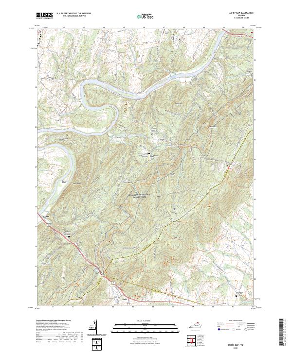 2022 Ashby Gap2022 Print · USGSThe Shenandoah Valley and Blue Ridge come together in the early 2020s, showing the crossing at the famous Ashby Gap. Researchers can locate several historic burial sites like Ebenezer Church and Graveyard and the Paris Community Cem.
 - 2022 Map of Remington, 2022 Print
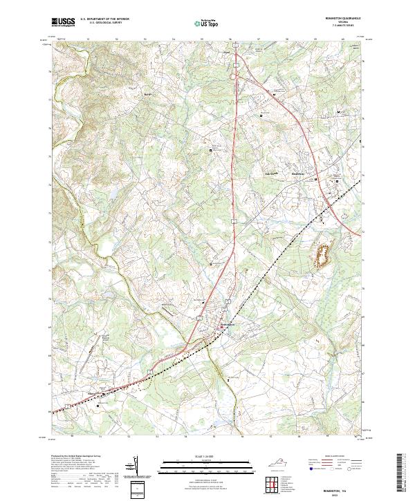 2022 Remington2022 Print · USGSThe Fauquier and Culpeper county line is traced by the Rappahannock River in this recent survey of Northern Virginia’s horse country and rural corridors. Genealogists and local historians can locate numerous family and church burial sites, including the Hollywood Cem, Saint Patrick Orthodox Cem, and the Wright James Graveyard.
 - 2022 Map of Richardsville, 2022 Print
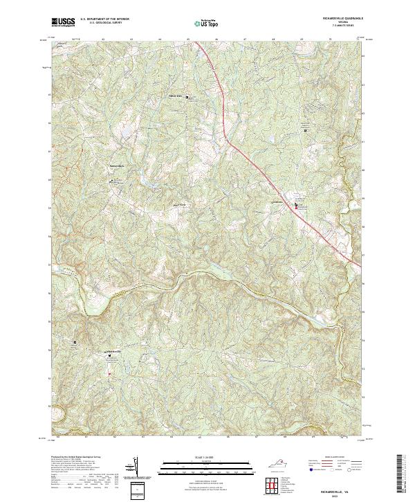 2022 Richardsville2022 Print · USGSThe confluence of the Rappahannock and Rapidun Rivers defines this Virginia countryside in the early twenty-first century. Researchers can trace family sites like Richardsville United Methodist Church Cem and old crossroads at Goldvein and Sumerduck.
 - 2022 Map of Massies Corner, 2022 Print
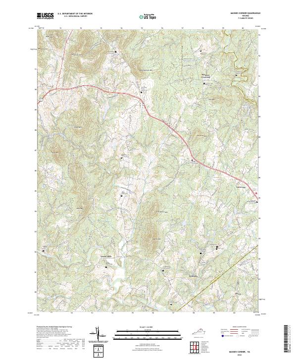 2022 Massies Corner2022 Print · USGSRappahannock County’s rolling piedmont landscape is captured here in the early twenty-first century, showing a region deeply tied to its family-named peaks and river valleys. Researchers can trace ancestral roots through dozens of private burial sites like the Amiss and Alsop Graveyard or the Corder - Pierce Cem near the banks of Battle Run.
 - 2022 Map of Rectortown, 2022 Print
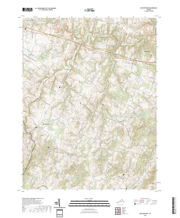 2022 Rectortown2022 Print · USGSNorthern Virginia's hunt country and rural estates are beautifully documented in this recent survey of the Fauquier and Loudoun county lines. Genealogists and historians can trace family land and community centers through landmarks like Old Carters Mill, Rectortown Cem, and the Odd Fellows Cem.
 - 2022 Map of Catlett, 2022 Print
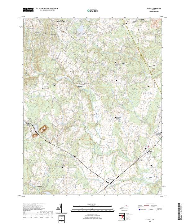 2022 Catlett2022 Print · USGSFauquier County at the start of the 2020s remains a landscape of historic rural crossroads and family homesteads. Genealogists and historians can trace numerous family-named landmarks like the Randolph Family Cem or Mark Family Cem and old community hubs such as Casanova and Auburn.
 - 2022 Map of Jeffersonton, 2022 Print
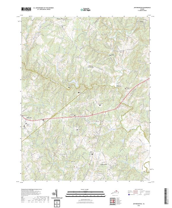 2022 Jeffersonton2022 Print · USGSThe Virginia Piedmont is documented here in the early twenty-first century, showing the rural landscapes of Fauquier and Culpeper counties. Genealogists can trace family heritage at the Ney Family Graveyard, Lawson Family Cem, and Cliff Mills.
 - 2022 Map of Midland, 2022 Print
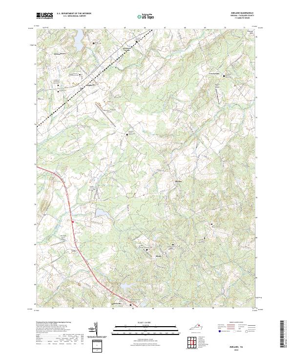 2022 Midland2022 Print · USGSMidland and the surrounding Fauquier County countryside are shown here in the early twenty-first century, characterized by rural aviation and deep-rooted family history. Researchers can trace ancestral sites like the Eustace Family Cem and Martin Family Cem or visit the Flying Circus Aerodrome.
 - 2022 Map of Brandy Station, 2022 Print
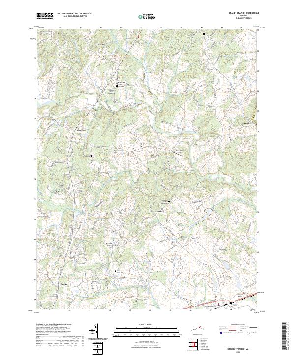 2022 Brandy Station2022 Print · USGSCulpeper County comes into focus in the early 2020s, revealing a landscape of small Piedmont communities and significant family-named landmarks. Genealogists and historians can locate numerous family burial sites, including the Yancey Family Cem, the Freeman - Botts Cem, and the historic Fleetwood Hill.
 - 2022 Map of Somerville, 2022 Print
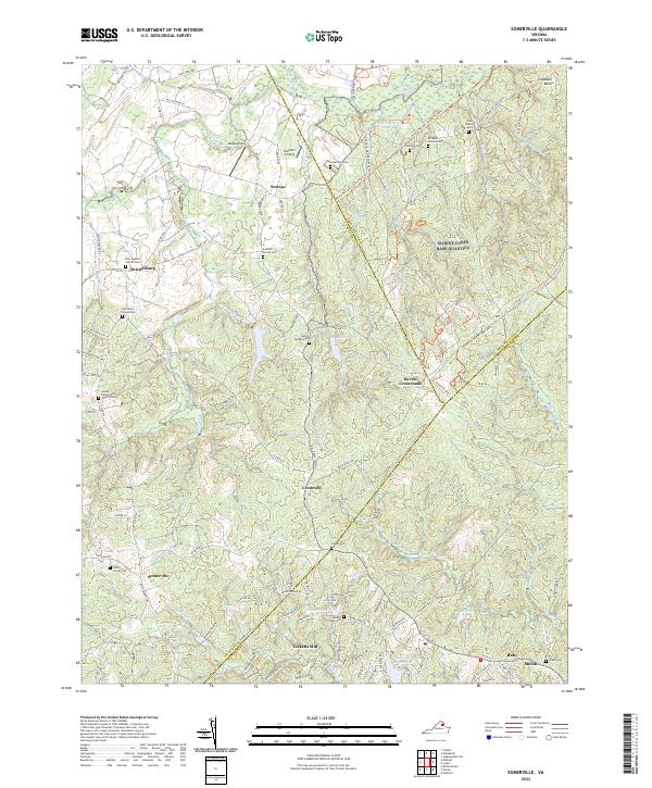 2022 Somerville2022 Print · USGSFauquier and Stafford Counties meet in this detailed modern survey of the Virginia countryside near the Quantico border. Genealogists can locate numerous small burial sites like the Heflin Family Cem and Hearts Delight Cem near Tacketts Mill.
 - 2022 Map of Storck, 2022 Print
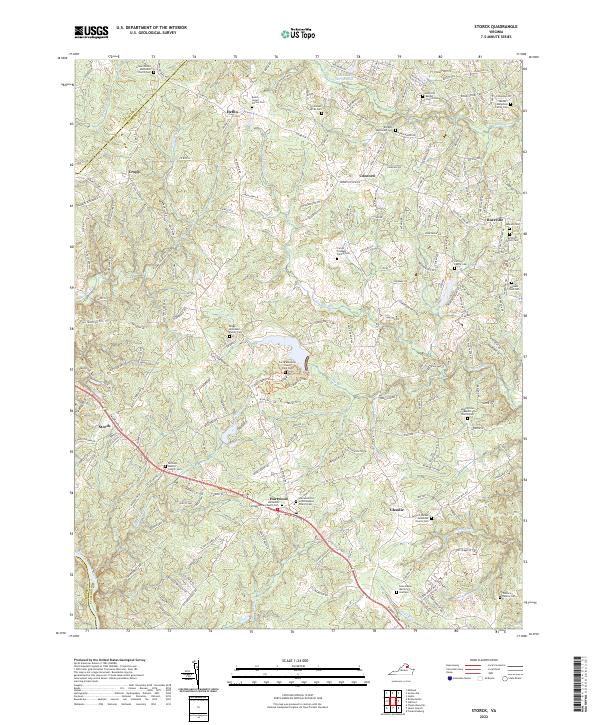 2022 Storck2022 Print · USGSStafford County is shown in this recent survey as a landscape deeply connected to its ancestral roots. Genealogists can trace family heritage through numerous private sites like the Jacobs-Humphrey Family Cem, Briggs-McDonald Family Cem, and Hartwood Presbyterian Church Cem.
 - 2022 Map of Germanna Bridge, 2022 Print
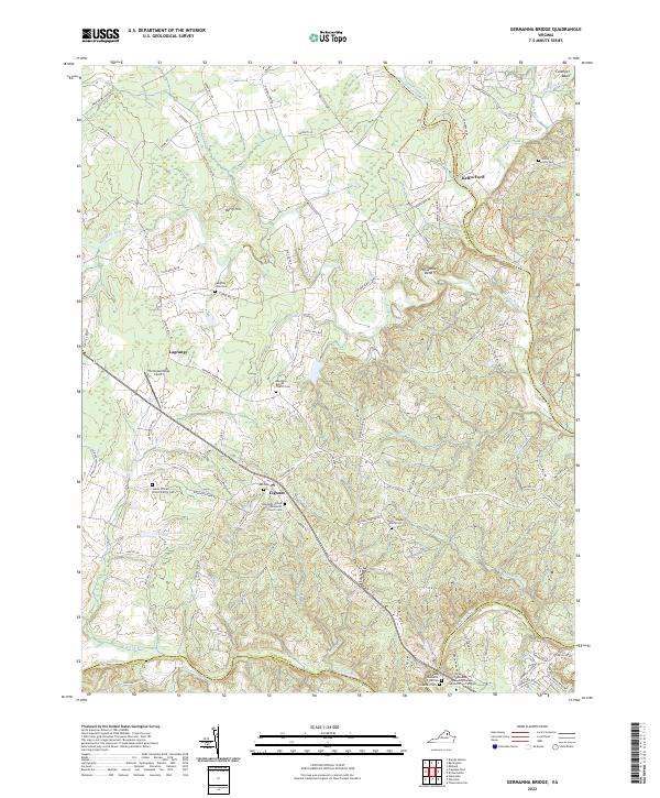 2022 Germanna Bridge2022 Print · USGSCulpeper County at the start of the 2020s remains a landscape of river-bend settlements and deep family roots. Researchers can trace ancestral locations at James William Brown Family Cem, Kellys Ford, and the crossroads of Lignum.
 - 2022 Map of Nokesville, 2022 Print
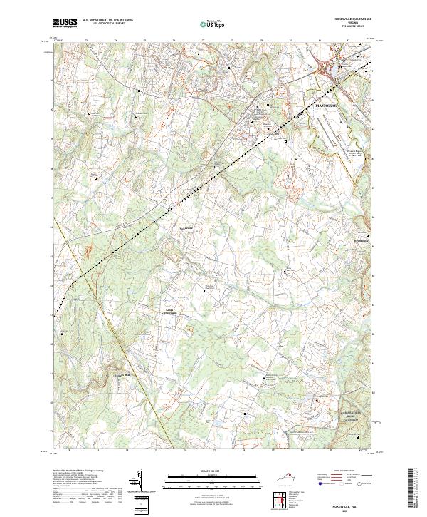 2022 Nokesville2022 Print · USGSPrince William County in the early 21st century remains a complex landscape of rural crossroads and growing aviation hubs. Researchers can trace dozens of family and military burial sites, including the 10th Alabama Regiment Cem and Linton Family Cem near Bristow.
 - 2022 Map of Orlean, 2022 Print
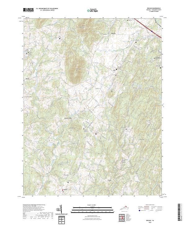 2022 Orlean2022 Print · USGSFauquier County's rural landscape is captured here in the early 2020s, showing a region of prominent peaks and historic family lands. Genealogists can trace deep local roots through the Harrison Family Cem, Payne Family Cem, and Thumb Run Baptist Church.
 - 2022 Map of Marshall, 2022 Print
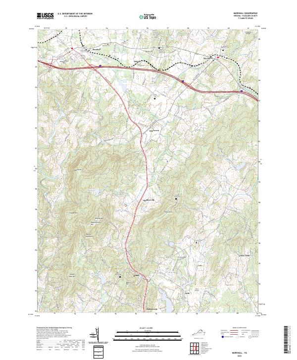 2022 Marshall2022 Print · USGSFauquier County's horse country and foothills are shown here in the contemporary era as the landscape transitions toward the mountains. Genealogists can trace family heritage at the McRae Family Cem and Bland Family Cem or explore the historic centers of Marshall and The Plains.
 - 2022 Map of Upperville, 2022 Print
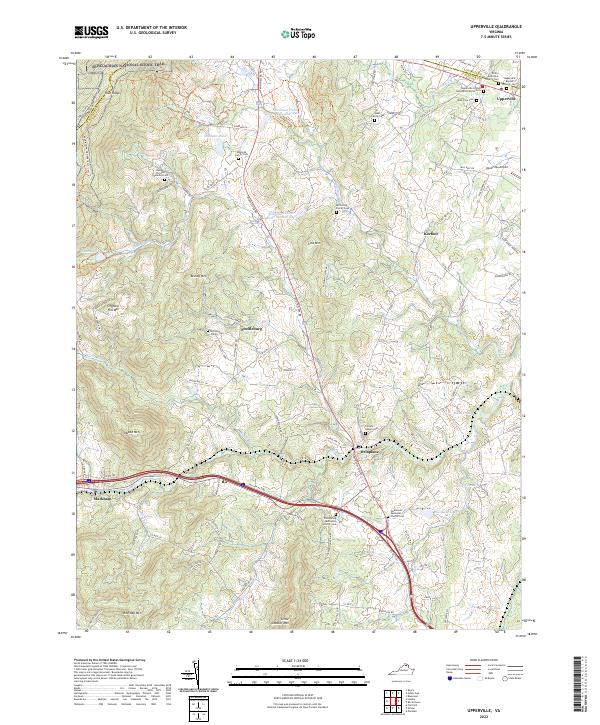 2022 Upperville2022 Print · USGSVirginia horse country meets the Blue Ridge in this modern survey of the Fauquier and Loudoun border. Genealogists can trace family burial sites like the Edmonds Family Cem and Heindon Family Cem alongside the historic Goose Creek watershed.
 - 2022 Map of Warrenton, 2022 Print
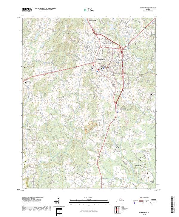 2022 Warrenton2022 Print · USGSWarrenton and its surrounding Fauquier County countryside appear here in the early twenty-first century, balancing its role as a county seat with deep-rooted rural traditions. Genealogists can locate family sites like the William Edmonds Family Cem and Bell - Lewis - Smith Family Cem, or trace landmarks like the Fauquier County Courthouse.
 - 2022 Map of Flint Hill, 2022 Print
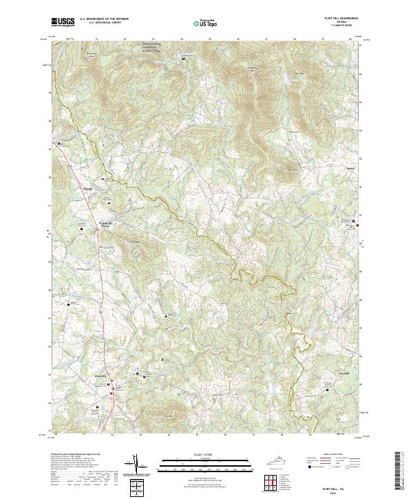 2022 Flint Hill2022 Print · USGSNear the northern reaches of the Rappahannock River, this Virginia Piedmont landscape maintains its traditional rural character into the early twenty-first century. Genealogists can trace deep roots through numerous local burial sites, including Rockland Cem, the Odd Fellows Cem, and the Mount Morris Baptist Church Cem.
 - 2022 Map of Chester Gap, 2022 Print
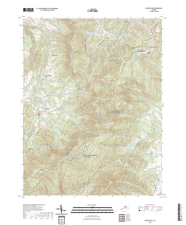 2022 Chester Gap2022 Print · USGSThe high crests of the Blue Ridge meet the historical settlements of Rappahannock and Warren counties in this recent survey. Researchers can locate family landmarks like the John Jackson Updike Farm Cem or trace the path of the Appalachian National Scenic Trail through Hogwallow Flat.
 - 2022 Map of Middleburg, 2022 Print
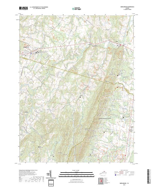 2022 Middleburg2022 Print · USGSLoudoun and Fauquier counties are captured here in the early twenty-first century as the Piedmont landscape maintains its traditional character. Genealogists and local historians can trace legacy sites from the Sharon Cem and Aldie to the peaks of Griffin Mtn.
 - 2022 Map of Thoroughfare Gap, 2022 Print
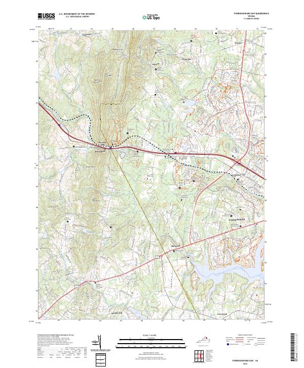 2022 Thoroughfare Gap2022 Print · USGSNorthern Virginia's Piedmont transitions through the Bull Run Mountains at the start of the 2020s. Genealogists can trace numerous family burial grounds like the Simmons-Johnson Family Cem and landmarks such as the historic Beverley Mill.
 - 2023 Map of Linden, 2023 Print
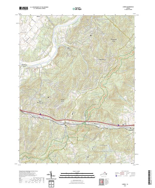 2023 Linden2023 Print · USGSThe Blue Ridge gap at Linden and Markham is shown here during its recent period of residential mountain growth. Genealogists can locate several family and church burial sites, such as the William-Rowles Family Cem and Strother Green Baptist Church Cem.
End of results
Showing maps 1-22 of 22
Top cities of Fauquier County
- Warrenton historical maps
- Bealeton historical maps
- Marshall historical maps
- Remington historical maps
- Opal historical maps
- Catlett historical maps
See more
Frequently asked questions
- What are the different types of historical maps available for Fauquier County?
- What is the oldest map of Fauquier County?
- Where can I purchase historical maps of Fauquier County for my home or office?
- Where can I download high-res historical maps of Fauquier County?
- Are there historical topographic maps available for Fauquier County?
- Is there historical aerial imagery available for Fauquier County?
- Where are historical maps of Fauquier County sourced from?