2000s (21st Century) Maps of Douglas County, Washington
Explore 294 historic maps of Douglas County from the 2000s (21st Century). These maps offer a rare glimpse into what life looked like during the 2000s — showing old roads, neighborhoods, homes, and landmarks that have changed or disappeared over time.
Whether you're researching your family's past, planning a metal detecting trip, or studying how Douglas County's landscape evolved across the 2000s, these high-resolution maps are a powerful tool for exploring the history of this region.
- Focus on a specific era: All maps on this page are from the 2000s, giving you a focused view of this time period.
- See what’s changed: Compare century-old streets, trails, and buildings to today's modern landscape using overlays and satellite layers.
- Research with precision: Use these maps for genealogy, historical research, land use analysis, or educational projects.
- View, download, or print: Maps are fully viewable online in high resolution, and can be downloaded or printed for your own records.
Start exploring Douglas County's history through authentic maps from the 2000s. This is your window into the past.
Douglas County, WA maps
(294)- 2001 Map of Azwell, 2004 Print
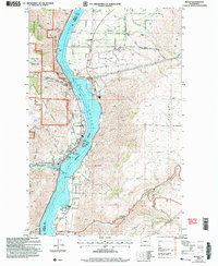
 2001 Azwell2004 Print · USGSThe Columbia River corridor near the turn of the twenty-first century reveals a landscape of hydroelectric reservoirs and forest service lands. Local historians can trace early land divisions through Indian Allotment Boundaries near Azwell and the settlement of Starr.
 - 2001 Map of Pateros, 2004 Print
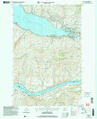
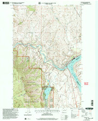 2001 Pateros2004 Print · USGSThe confluence of the Methow and Columbia rivers in Okanogan County is captured here at the turn of the millennium. Local historians can trace the development of Pateros, locate the lakeside Alta Lake State Park, and identify early mining sites like Mine Shafts and several mountain Prospects.
 - 2003 Map of Entiat, 2006 Print
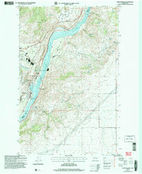
 2003 Entiat2006 Print · USGSThe Columbia River corridor in the early 2000s reveals a landscape of orchard communities and rugged river breaks. Genealogists and local historians can locate the Orondo School, Brays Landing Cemetery, and landmarks like the Grange Hall in Orondo.
 - 2003 Map of Wenatchee, 2006 Print
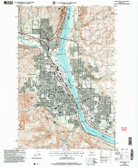 2003 Wenatchee2006 Print · USGSWenatchee and the Columbia River valley are shown here at the turn of the millennium as a thriving hub of orchards and industry. Researchers can trace rail history at Appleyard, local mining at Golden King Mine, or local genealogy at Wenatchee Cem.
 - 2003 Map of Rocky Reach Dam, 2006 Print
 2003 Rocky Reach Dam2006 Print · USGSThe Columbia River corridor north of Wenatchee comes into sharp focus during the early 2000s, showcasing the massive infrastructure of the Rocky Reach Dam. Trace the hydroelectric landscape through Lake Entiat to landforms like Turtle Rock and the surrounding State Wildlife Area.
 - 2003 Map of Orondo, 2006 Print
 2003 Orondo2006 Print · USGSThe Columbia River corridor near Orondo is captured here during the early 2000s, showing the intersection of river-fed agriculture and high-plateau ranching. Researchers can locate the South Side Cem, the Badger Mtn Lookout, and the old Badger Mtn Community Hall.
 - 2004 Map of Chelan Falls, 2008 Print
 2004 Chelan Falls2008 Print · USGSThe Columbia River valley underwent significant development by the early 2000s, balancing industrial infrastructure with protected wilderness. Researchers can trace the layout of Chelan Falls, locate the Riverview Cem, or identify landmarks like the Chelan State Fish Hatchery.
 - 2004 Map of Winesap, 2008 Print
 2004 Winesap2008 Print · USGSThe transition from river valley to high forest is captured here at the beginning of the millennium. Genealogists and local historians can trace the roads around Winesap and Sunnybank, or locate landmarks like Goosetail Rock and the Mine in the forest.
 - 2004 Map of Chelan, 2008 Print
 2004 Chelan2008 Print · USGSChelan and the southern tip of its namesake lake are shown in the early 2000s, captured before the intensification of modern development. Researchers can trace the waterfront through Lakeside, locate the Chelan Fraternal Cem, and explore the terrain of Chelan Butte.
 - 2011 Map of Grand Coulee Dam, 2011 Print
 2011 Grand Coulee Dam2011 Print · USGSCovers Douglas County, including Grand Coulee, Elmer City, and other nearby areas
 - 2011 Map of Brewster, 2011 Print
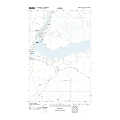
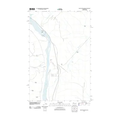
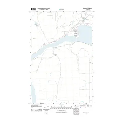 2011 Brewster2011 Print · USGSCovers Douglas County, including Brewster, Okanogan County, and other nearby areas
 - 2011 Map of Sanderson Creek, 2011 Print
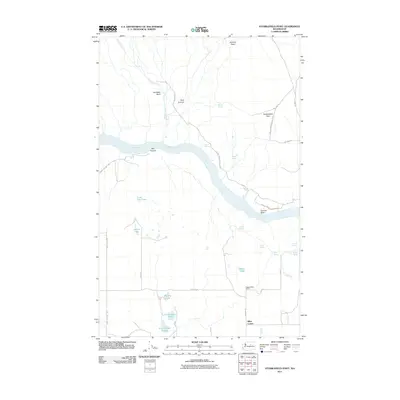
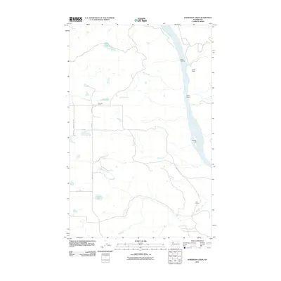 2011 Sanderson Creek2011 Print · USGSCovers Douglas County, including Okanogan County, United States, and other nearby areas
 - 2011 Map of Stubblefield Point, 2011 Print
 2011 Stubblefield Point2011 Print · USGSCovers Douglas County, including Nilles Corner, Okanogan County, and other nearby areas
 - 2011 Map of Bridgeport Point, 2011 Print
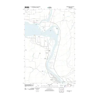
 2011 Bridgeport Point2011 Print · USGSCovers Douglas County, including Brandts Landing, Okanogan County, and other nearby areas
 - 2011 Map of Hopkins Canyon, 2011 Print
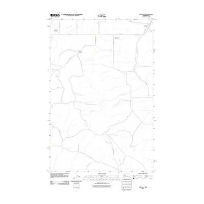
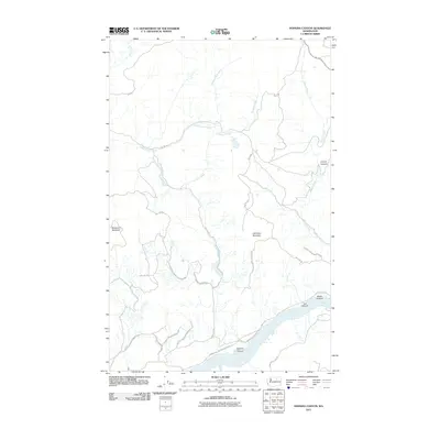 2011 Hopkins Canyon2011 Print · USGSCovers Douglas County, including Okanogan County, United States, and other nearby areas
 - 2011 Map of Bridgeport, 2011 Print
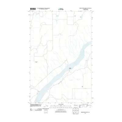
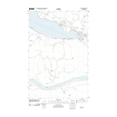
 2011 Bridgeport2011 Print · USGSCovers Douglas County, including Brewster, Bridgeport, and other nearby areas
 - 2011 Map of Alameda Flat, 2011 Print
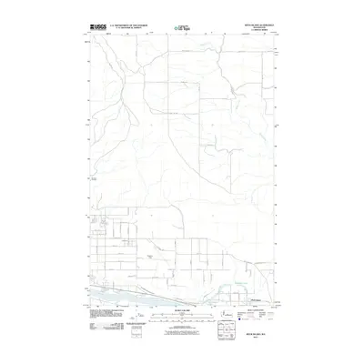
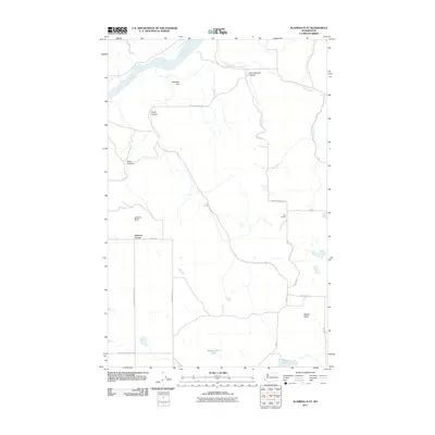 2011 Alameda Flat2011 Print · USGSCovers Douglas County, including Osborne Corner, Okanogan County, and other nearby areas
 - 2011 Map of Rock Island Dam, 2011 Print
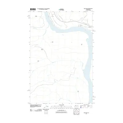
 2011 Rock Island Dam2011 Print · USGSCovers Douglas County, including Voltage, Grant County, and other nearby areas
 - 2011 Map of West Bar, 2011 Print
 2011 West Bar2011 Print · USGSCovers Douglas County, including Trinidad, Grant County, and other nearby areas
 - 2011 Map of Malaga, 2011 Print
 2011 Malaga2011 Print · USGSCovers Douglas County, including Rock Island, Malaga, and other nearby areas
 - 2011 Map of Waterville, 2011 Print
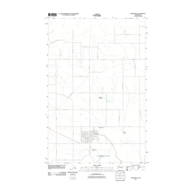 2011 Waterville2011 Print · USGSCovers Douglas County, including Waterville, United States, and other nearby areas
 - 2011 Map of Chelan, 2011 Print
 2011 Chelan2011 Print · USGSCovers Douglas County, including Chelan, Lakeside, and other nearby areas
 - 2011 Map of Rock Island, 2011 Print
 2011 Rock Island2011 Print · USGSCovers Douglas County, including Rock Island, Chelan County, and other nearby areas
 - 2011 Map of Douglas, 2011 Print
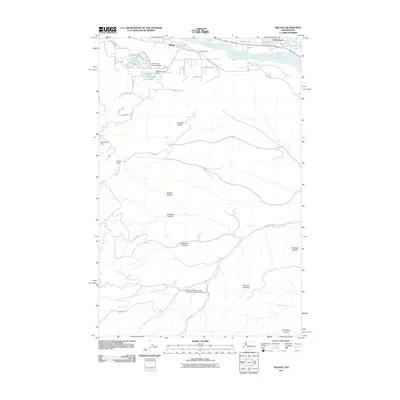
 2011 Douglas2011 Print · USGSCovers Douglas County, including Douglas, United States, and other nearby areas
 - 2011 Map of Malaga NE, 2011 Print
 2011 Malaga NE2011 Print · USGSCovers Douglas County, including United States, Washington, and other nearby areas
Showing maps 1-25 of 294
Top cities of Douglas County
- East Wenatchee historical maps
- Bridgeport historical maps
- Waterville historical maps
- Rock Island historical maps
- Mansfield historical maps
Frequently asked questions
- What are the different types of historical maps available for Douglas County?
- What is the oldest map of Douglas County?
- Where can I purchase historical maps of Douglas County for my home or office?
- Where can I download high-res historical maps of Douglas County?
- Are there historical topographic maps available for Douglas County?
- Is there historical aerial imagery available for Douglas County?
- Where are historical maps of Douglas County sourced from?