2020s Maps of Douglas County, Washington
Explore 114 historic maps of Douglas County from the 2020s. These maps offer a rare glimpse into what life looked like during the 2020s — showing old roads, neighborhoods, homes, and landmarks that have changed or disappeared over time.
Whether you're researching your family's past, planning a metal detecting trip, or studying how Douglas County's landscape evolved across the 2020s, these high-resolution maps are a powerful tool for exploring the history of this region.
- Focus on a specific era: All maps on this page are from the 2020s, giving you a focused view of this time period.
- See what’s changed: Compare century-old streets, trails, and buildings to today's modern landscape using overlays and satellite layers.
- Research with precision: Use these maps for genealogy, historical research, land use analysis, or educational projects.
- View, download, or print: Maps are fully viewable online in high resolution, and can be downloaded or printed for your own records.
Start exploring Douglas County's history through authentic maps from the 2020s. This is your window into the past.
Douglas County, WA maps
(114)- 2020 Map of Grand Coulee Dam, 2020 Print
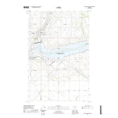 2020 Grand Coulee Dam2020 Print · USGSThe Columbia River basin near the Columbia Plateau is shown here after decades of transformation following the dam's completion. Researchers can trace the developed waterfronts of Grand Coulee and Mason City or explore terrain features like Washington Flats and Seaton Canyon.
 - 2020 Map of Winesap, 2020 Print
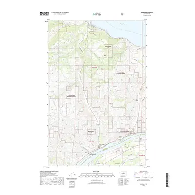 2020 Winesap2020 Print · USGSThe southern reaches of Lake Chelan meet the Columbia River in this recent survey of the Washington interior. Genealogists and local historians can trace the orchard-lined roads of Winesap and Sunnybank or locate landmarks like the Knapps Hill Tunnel and Rocky Pond Airstrip.
 - 2020 Map of Waterville, 2020 Print
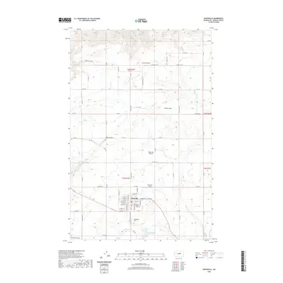 2020 Waterville2020 Print · USGSWaterville sits atop its namesake plateau during the early twenty-first century, serving as a hub for the surrounding high-country wheat and ranch lands. Genealogists and local historians can trace the town's street grid and locate the Douglas County Courthouse or explore the surrounding canyons like Greens Canyon and Pine Canyon.
 - 2020 Map of Malaga, 2020 Print
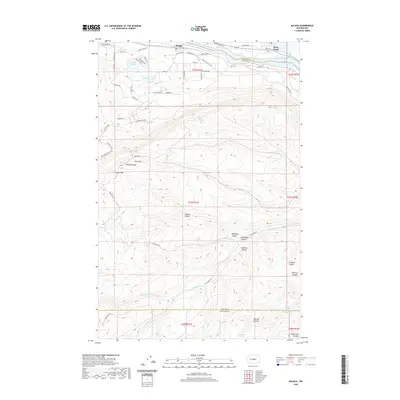 2020 Malaga2020 Print · USGSThe Columbia River valley meets the high plateau near Malaga in the early twenty-first century. Genealogists and historians can trace local development around Lake Cortez or follow the deep ravines of Nickles Canyon and Jumpoff Ridge.
 - 2020 Map of Chelan, 2020 Print
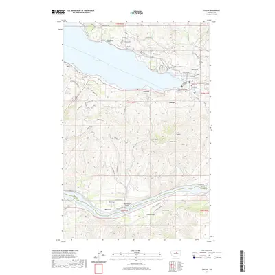 2020 Chelan2020 Print · USGSChelan and the southern tip of its namesake lake appear in high detail at the start of the 2020s. Researchers can trace the modern town grid from Lakeside to Chelan, or locate historic landmarks like Chelan Fraternal Cem and the banks of Lake Entiat.
 - 2020 Map of Douglas, 2020 Print
 2020 Douglas2020 Print · USGSDouglas County high country comes into focus in this recent survey of the wheat-growing plateau and its canyon-cut margins. Researchers can locate the Badger Mountain Cem and trace the drainage of Douglas Cr through the Waterville Plateau.
 - 2020 Map of West Bar, 2020 Print
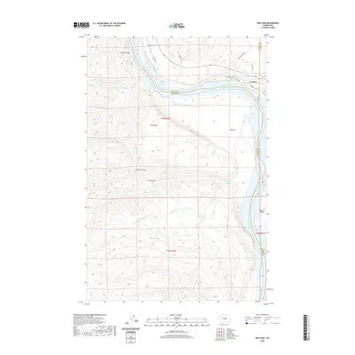 2020 West Bar2020 Print · USGSThe basalt bluffs and river bends of the Columbia River are captured here in the early twenty-first century. Researchers can trace the rugged transition from the West Bar floodplains to the heights of Babcock Bench and the settlement at Trinidad.
 - 2020 Map of Malaga NE, 2020 Print
 2020 Malaga NE2020 Print · USGSIn the high-plateau country of Douglas County during the early twenty-first century, this map shows a landscape defined by deep canyons and seasonal water sources. Researchers can trace the winding paths of Rock Island Grade SW and locate historic water points like Robinson Spring and Luehm Spring.
 - 2020 Map of Rock Island, 2020 Print
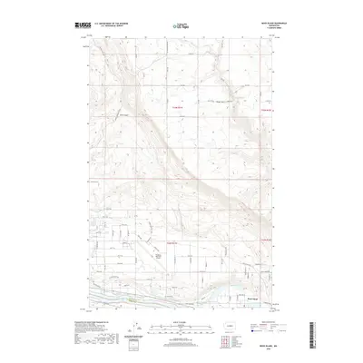 2020 Rock Island2020 Print · USGSRock Island and the Columbia River valley are captured here in the early 2020s, showing the intersection of aviation and agriculture. Researchers can trace the layout of the Pangborn Memorial Airport and locate the Hamilton Cem near Sand Canyon.
 - 2020 Map of Wenatchee, 2020 Print
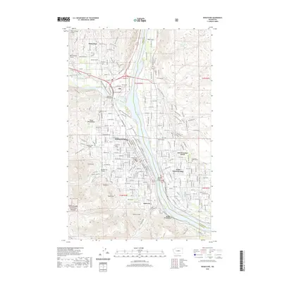 2020 Wenatchee2020 Print · USGSWenatchee and the Columbia River valley are shown here at a moment of significant modern development. Researchers can trace local history through the Chelan County Courthouse, the Wenatchee Valley College campus, and landmarks like Saddle Rock.
 - 2020 Map of Orondo, 2020 Print
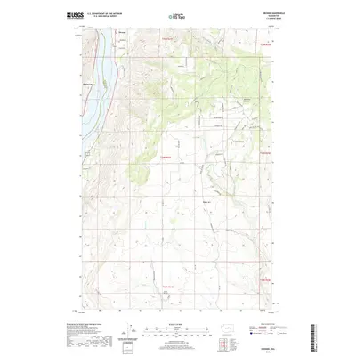 2020 Orondo2020 Print · USGSThe Columbia River valley north of Wenatchee comes into focus in this recent survey, showing the riverside communities of Orondo and Wagnersburg. Genealogists and historians can trace family locations near South Side Cem or along the rugged drainage of Rock Island Cr.
 - 2020 Map of Entiat, 2020 Print
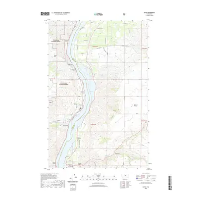 2020 Entiat2020 Print · USGSThe Columbia River corridor near Entiat and Orondo is shown in detail at the start of the 2020s. Genealogists and researchers can trace local landmarks like the Orondo Community Cem, Ribbon Cliff, and the high reaches of the Waterville Plateau.
 - 2020 Map of Rock Island Dam, 2020 Print
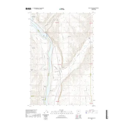 2020 Rock Island Dam2020 Print · USGSThe Columbia River dominates this 2020 landscape near the border of Douglas and Chelan counties. Researchers can trace the industrial footprint of Rock Island Dam and the settlement at Voltage, alongside geographic features like Moses Coulee and Lone Rock.
 - 2020 Map of Wells Dam, 2020 Print
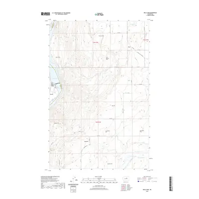 2020 Wells Dam2020 Print · USGSThe Columbia River shoreline and high plateaus of Douglas County appear here in a recent survey. Genealogists and local historians can trace family-named landmarks like Dyer Hill, the riverside community of Azwell, and remote upland locales such as Howard and Sourdough Flats.
 - 2020 Map of Barker Canyon, 2020 Print
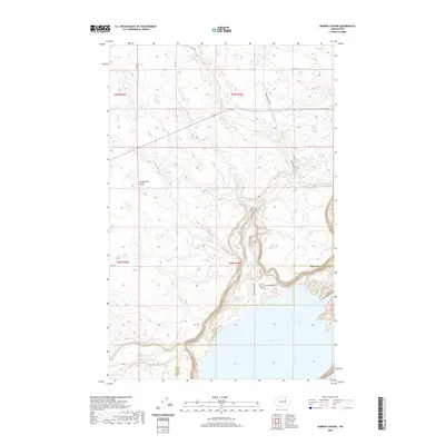 2020 Barker Canyon2020 Print · USGSBanks Lake and the arid Coulee terrain of the Washington interior are captured here at the start of the 2020s. Trace the dramatic elevation changes around Barker Canyon Lake and find prominent local landmarks like Steamboat Butte and Barker Butte.
 - 2020 Map of Jameson Lake SW, 2020 Print
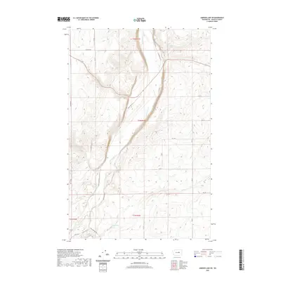 2020 Jameson Lake SW2020 Print · USGSDouglas County’s volcanic geology is on full display in this recent study of the canyon floor and plateaus. Researchers can trace the winding McCartney Cr through Moses Coulee or locate remote landmarks like Sulphur Spring and Camel Spring.
 - 2020 Map of Coulee City, 2020 Print
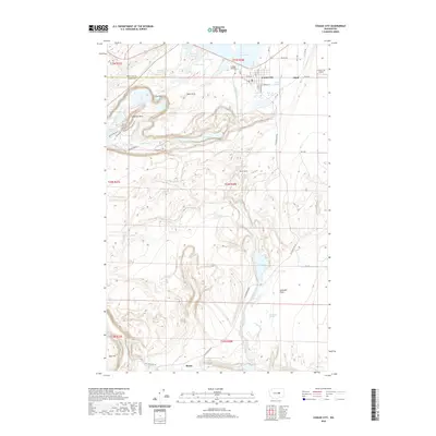 2020 Coulee City2020 Print · USGSCoulee City and the dramatic basalt coulees of Grant County are shown in the modern era as a hub of water reclamation and recreation. Researchers can trace the paths of the Caribou Trail and Boy Scout Trail or locate rail-line landmarks like Odair and the Bacon Tunnel.
 - 2020 Map of Leahy, 2020 Print
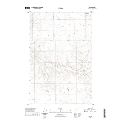 2020 Leahy2020 Print · USGSThe ranching country of Douglas County appears here as it was in the early 2020s. Researchers can trace the water sources and high points that shaped local life, from the waters of Tinker Lake and Badger Spring to landmarks like Ragged Butte and Spiva Butte.
 - 2020 Map of Sims Corner, 2020 Print
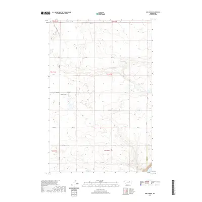 2020 Sims Corner2020 Print · USGSThe high plateau of Douglas County in the early twenty-first century is defined by remote crossroads and glacial hydrology. Genealogists and land researchers can trace property boundaries along Leahy Rd S or locate landmarks like Sims Corner and Ludtke Lake.
 - 2020 Map of Steamboat Rock SW, 2020 Print
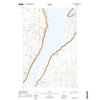 2020 Steamboat Rock SW2020 Print · USGSGrant County’s dramatic coulee landscape is captured in the modern era, showing the vast waters of Banks Lake alongside the Douglas County line. Trace the geography of the shoreline at Devils Punch Bowl or follow local routes like Coulee Blvd.
 - 2020 Map of Mud Spring, 2020 Print
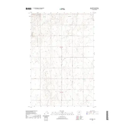 2020 Mud Spring2020 Print · USGSDouglas County’s high plateau is captured here in the contemporary era, showing a landscape defined by isolated water sources and a network of rural roads. Researchers can locate Mud Spring, Boulder Park, and family-named routes like Wolf Holler Rd.
 - 2020 Map of Palisades, 2020 Print
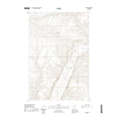 2020 Palisades2020 Print · USGSCentrally located in Douglas County, this 2020 map documents the canyon floor settlement and high plateau terrain. Researchers can trace the winding path of Douglas Creek to find Palisades or locate remote water sources like Skookumchuck Spring.
 - 2020 Map of Rattlesnake Springs, 2020 Print
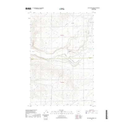 2020 Rattlesnake Springs2020 Print · USGSThe high plateau of the Columbia Basin at the turn of the decade reveals a landscape defined by its vital water sources and steep coulees. Researchers can trace historic access routes like Wagon Rd and Three Devils Grade Rd past Steamboat Rock and the namesake Rattlesnake Springs.
 - 2020 Map of Lamoine, 2020 Print
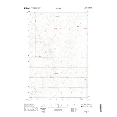 2020 Lamoine2020 Print · USGSThe high dryland farming country of the Waterville Plateau is captured here as it appeared in 2020. Local researchers can locate the Fletcher Cem and trace the road networks connecting the settlements of Lamoine and Supplee.
 - 2020 Map of Withrow, 2020 Print
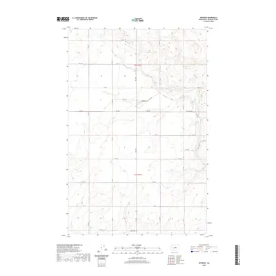 2020 Withrow2020 Print · USGSDouglas County’s high wheat country is captured in this modern survey, showing the enduring settlement patterns of the Waterville Plateau. Researchers can locate the Withrow townsite and the Farmer-Happy Home Cem among the grid of Berg Rd and Rd 4 Nw.
Showing maps 1-25 of 114
Top cities of Douglas County
- East Wenatchee historical maps
- Bridgeport historical maps
- Waterville historical maps
- Rock Island historical maps
- Mansfield historical maps
Frequently asked questions
- What are the different types of historical maps available for Douglas County?
- What is the oldest map of Douglas County?
- Where can I purchase historical maps of Douglas County for my home or office?
- Where can I download high-res historical maps of Douglas County?
- Are there historical topographic maps available for Douglas County?
- Is there historical aerial imagery available for Douglas County?
- Where are historical maps of Douglas County sourced from?