2000s (21st Century) Maps of Quincy, Washington
Explore 15 historic maps of Quincy from the 2000s (21st Century). These maps offer a rare glimpse into what life looked like during the 2000s — showing old roads, neighborhoods, homes, and landmarks that have changed or disappeared over time.
Whether you're researching your family's past, planning a metal detecting trip, or studying how Quincy's landscape evolved across the 2000s, these high-resolution maps are a powerful tool for exploring the history of this region.
- Focus on a specific era: All maps on this page are from the 2000s, giving you a focused view of this time period.
- See what’s changed: Compare century-old streets, trails, and buildings to today's modern landscape using overlays and satellite layers.
- Research with precision: Use these maps for genealogy, historical research, land use analysis, or educational projects.
- View, download, or print: Maps are fully viewable online in high resolution, and can be downloaded or printed for your own records.
Start exploring Quincy's history through authentic maps from the 2000s. This is your window into the past.
Quincy, WA maps
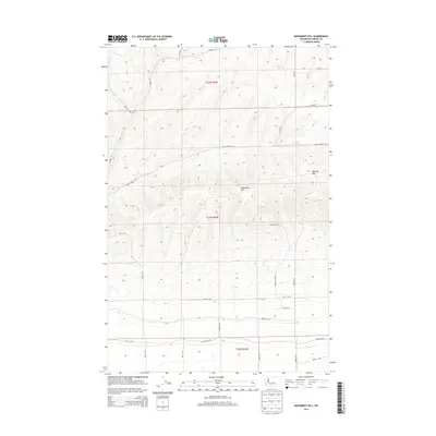
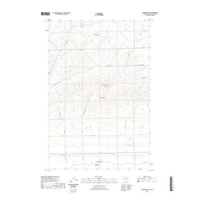
(15)- 2011 Map of Monument Hill, 2011 Print
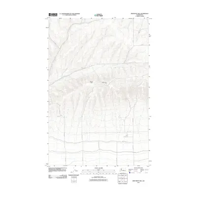 2011 Monument Hill2011 Print · USGSCovers Quincy, including Grant County, United States, and other nearby areas
 - 2011 Map of Babcock Ridge, 2011 Print
 2011 Babcock Ridge2011 Print · USGSCovers Quincy, including Grant County, Kittitas County, and other nearby areas
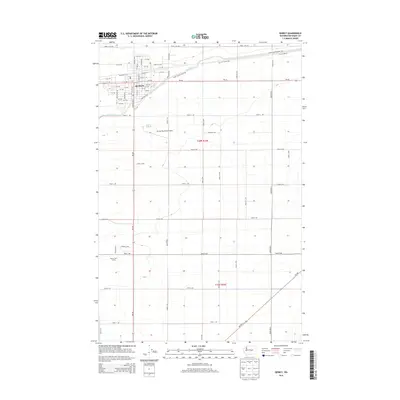
 - 2011 Map of Quincy, 2011 Print
 2011 Quincy2011 Print · USGSCovers Quincy, including Grant County, United States, and other nearby areas
 - 2014 Map of Quincy, 2014 Print
 2014 Quincy2014 Print · USGSCovers Quincy, including Grant County, United States, and other nearby areas
 - 2014 Map of Monument Hill, 2014 Print
 2014 Monument Hill2014 Print · USGSCovers Quincy, including Grant County, United States, and other nearby areas
 - 2014 Map of Babcock Ridge, 2014 Print
 2014 Babcock Ridge2014 Print · USGSCovers Quincy, including Grant County, Kittitas County, and other nearby areas
 - 2017 Map of Monument Hill, 2017 Print
 2017 Monument Hill2017 Print · USGSCovers Quincy, including Grant County, United States, and other nearby areas
 - 2017 Map of Quincy, 2017 Print
 2017 Quincy2017 Print · USGSCovers Quincy, including Grant County, United States, and other nearby areas
 - 2017 Map of Babcock Ridge, 2017 Print
 2017 Babcock Ridge2017 Print · USGSCovers Quincy, including Grant County, Kittitas County, and other nearby areas
 - 2020 Map of Quincy, 2020 Print
 2020 Quincy2020 Print · USGSCovers Quincy, including Grant County, United States, and other nearby areas
 - 2020 Map of Babcock Ridge, 2020 Print
 2020 Babcock Ridge2020 Print · USGSCovers Quincy, including Grant County, Kittitas County, and other nearby areas
 - 2020 Map of Monument Hill, 2020 Print
 2020 Monument Hill2020 Print · USGSCovers Quincy, including Grant County, United States, and other nearby areas
 - 2023 Map of Monument Hill, 2023 Print
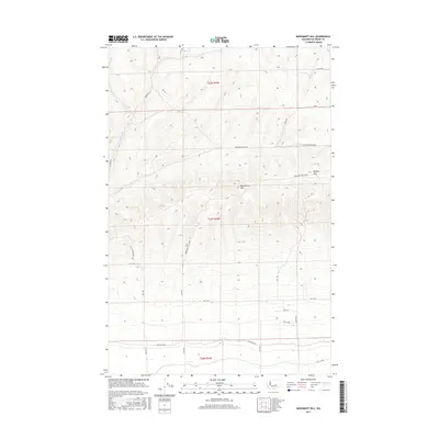
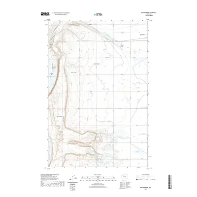
 2023 Monument Hill2023 Print · USGSQuincy and the surrounding basalt ridges are captured in this modern survey of central Washington's agricultural frontier. Researchers can trace the path of the Quincy Lateral Canal and the climb toward landmarks like Monument Hill and the Beezley Hills.
 - 2023 Map of Quincy, 2023 Print
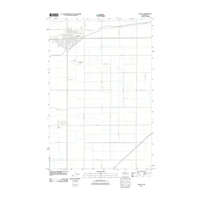
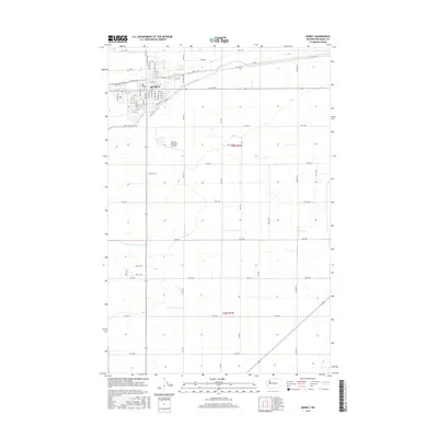
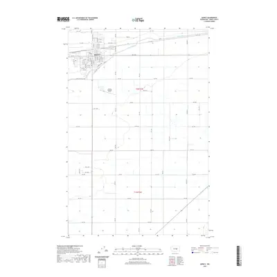
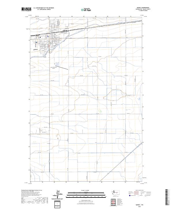 2023 Quincy2023 Print · USGSThe town of Quincy and its surrounding agricultural grid are documented here in the early twenty-first century. Researchers can trace the path of the West Canal and locate family plots at the Quincy Cem or survey the Quincy Municipal Airport.
 - 2023 Map of Babcock Ridge, 2023 Print
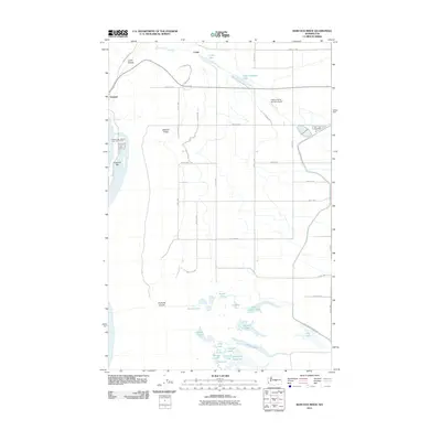
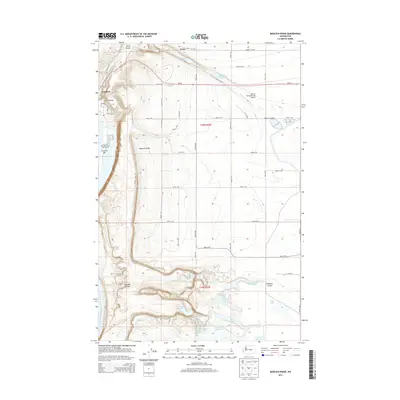
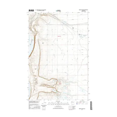
 2023 Babcock Ridge2023 Print · USGSSettlements along the Columbia River basin come into focus in this recent survey of the Grant County landscape. Trace the modern shoreline at Crescent Bar and the irrigation network of the West Canal alongside natural landmarks like Babcock Ridge and Ancient Lake.
End of results
Showing maps 1-15 of 15
Top cities near Quincy
Frequently asked questions
- What are the different types of historical maps available for Quincy?
- What is the oldest map of Quincy?
- Where can I purchase historical maps of Quincy for my home or office?
- Where can I download high-res historical maps of Quincy?
- Are there historical topographic maps available for Quincy?
- Is there historical aerial imagery available for Quincy?
- Where are historical maps of Quincy sourced from?