Old Maps of Quincy, Washington for Genealogy
Trace your family roots with 24 historic maps of Quincy. These high-res maps reveal old neighborhoods, homesites, landmarks, and streets — helping you uncover where your ancestors lived and how the area evolved over time.
- Explore historic neighborhoods: Identify where your relatives may have lived in the 1800s or 1900s.
- Compare maps over time: Trace the changes in streets, buildings, and landmarks for multi-generational research.
- Perfect for genealogy & ancestry research: Used by family historians and researchers to map out lineage and migration.
These maps are an incredible resource for exploring your personal connection to Quincy's past.
Quincy, WA maps
(24)- 1909 Map of Quincy, 1965 Print
 1909 Quincy1965 Print · USGSCentral Washington's high desert reveals its early rail and ranching roots just after the turn of the century. Trace the old rural schoolhouse network from Mountain View School to Glendale School and the growing town of Quincy along the Great Northern RR.
 - 1910 Map of Quincy
 1910 Quincy1910 Print · USGSGrant County is captured in a moment of early expansion as homesteaders settled the basin during the first decade of the century. Genealogists can trace family roots through numerous rural landmarks like Evergreen School, Burke, and Haywood School.4 unique versions available
 - 1953 Map of Ritzville, 1966 Print
 1953 Ritzville1966 Print · USGSEastern Washington was undergoing a massive agricultural and industrial transformation in the mid-fifties as irrigation from the Grand Coulee Dam reached the plateau. Researchers can trace the mid-century rail network of the Great Northern and locate vital local sites like Larson Air Force Base and Odessa.3 unique versions available
 - 1959 Map of Ritzville
 1959 Ritzville1959 Print · USGSEastern Washington in the late fifties reveals a landscape transformed by massive irrigation projects and postwar growth. Genealogists and historians can trace rail-line communities from Ritzville to Davenport and locate landmarks like Larson Air Force Base and Telford Station.
 - 1965 Map of Ritzville
 1965 Ritzville1965 Print · USGSCentral Washington during the mid-sixties shows a landscape shaped by massive irrigation projects and the Cold War. Genealogists and historians can trace rail-town life and military presence through Ephrata Air Base, the Telford Station, and local schools.
 - 1966 Map of Monument Hill, 1967 Print
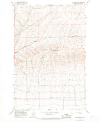 1966 Monument Hill1967 Print · USGSGrant County is captured in the mid-1960s as a landscape of sharp ridges and developing infrastructure. Researchers can trace the agricultural footprint through labels like Storage Bin and Gravel Pit, or locate landmarks such as Baird Springs and the Radio Tower (KPOR).
 - 1966 Map of Quincy, 1968 Print
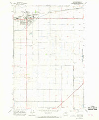 1966 Quincy1968 Print · USGSThe Columbia Basin's irrigation-driven growth is on full display in the 1960s as Quincy expands around the Great Northern rail line. Genealogists and local historians can map the town's social heart via the Grange Hall, Mountain View Sch, and the local Cem.
 - 1966 Map of Babcock Ridge, 1968 Print
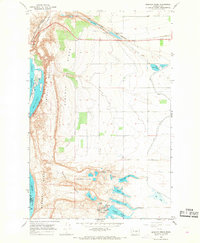 1966 Babcock Ridge1968 Print · USGSGrant County’s coulee landscape is captured here in the mid-sixties, showing the intersection of the Great Northern rail line and massive Columbia River water projects. Researchers can trace irrigation infrastructure like the Babcock Pumping Sta alongside local landmarks like Ancient Lake and Trinidad.2 unique versions available
 - 1982 Map of Moses Lake, 1983 Print
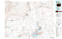 1982 Moses Lake1983 Print · USGSThe Columbia Basin during the early eighties shows a landscape transformed by large-scale irrigation and military aviation. Researchers can trace the development of Larson Air Force Base or locate vanished rail stops along the Burlington Northern near Ephrata and Quincy.2 unique versions available
 - 2011 Map of Monument Hill, 2011 Print
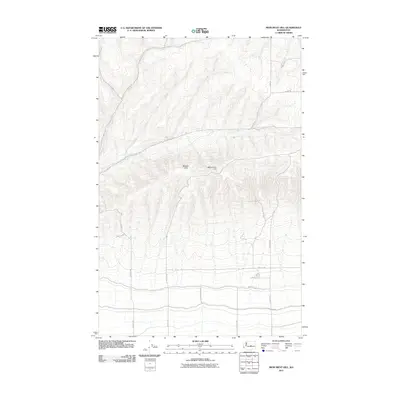 2011 Monument Hill2011 Print · USGSThe Beezley Hills rise sharply above the structured agricultural grid of Grant County in this early twenty-first-century survey. Researchers can trace the layout of rural access routes like Baird Springs Rd as they climb toward Mounment Hill.
 - 2011 Map of Babcock Ridge, 2011 Print
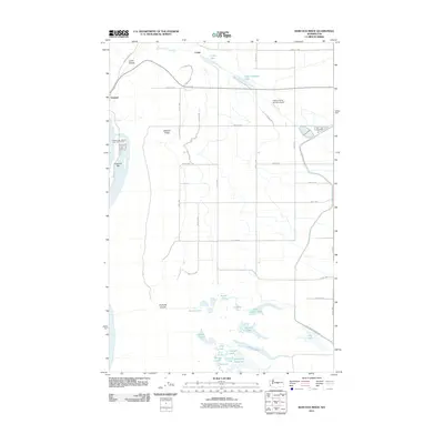 2011 Babcock Ridge2011 Print · USGSBabcock Ridge and the Columbia River valley appear here during the early twenty-first century, showcasing a terrain shaped by ice-age floods and modern irrigation. Researchers can trace the rugged descent of Potholes Coulee and locate landmarks like the Quincy Flying Service Airport and Crescent Bar.
 - 2011 Map of Quincy, 2011 Print
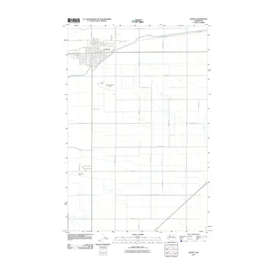 2011 Quincy2011 Print · USGSThe Columbia Basin town of Quincy is shown during a period of steady growth and agricultural development. Local historians and researchers can trace the reach of the West Canal and locate specific sites like the Quincy Municipal Airport.
 - 2014 Map of Quincy, 2014 Print
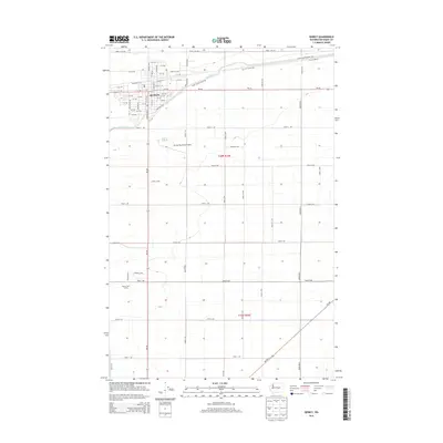 2014 Quincy2014 Print · USGSIn the decade before the region's recent expansion, Quincy stood as a vital irrigation and transport center. Trace the development of town blocks along Marginal Way and follow the path of the West Canal as it feeds the surrounding fields.
 - 2014 Map of Monument Hill, 2014 Print
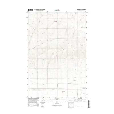 2014 Monument Hill2014 Print · USGSGrant County's high ground and agricultural grid are captured here in the mid-2010s. Researchers can trace the rural road network and topographic rises across Mounment Hill, Beezley Hills, and Baird Springs Rd.
 - 2014 Map of Babcock Ridge, 2014 Print
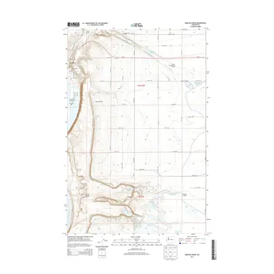 2014 Babcock Ridge2014 Print · USGSThe Columbia River shoreline and the dramatic basalt coulees of Grant County appear here in the mid-2010s. Researchers can trace the layout of Trinidad, the recreation facilities at Crescent Bar, and a hidden network of water bodies including Ancient Lake and Dusty Lake.
 - 2017 Map of Monument Hill, 2017 Print
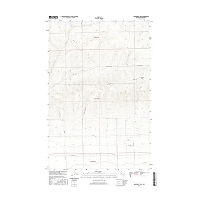 2017 Monument Hill2017 Print · USGSGrant County’s high plateau is captured here in the late twenty-tens, showing the structured rural layout north of Quincy. Local history researchers can trace the modern road grid including Baird Springs Rd NW and landmarks like Monument Hill.
 - 2017 Map of Quincy, 2017 Print
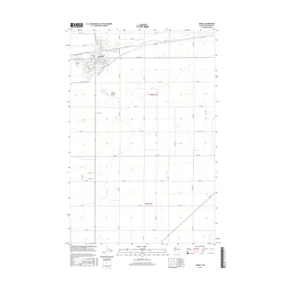 2017 Quincy2017 Print · USGSQuincy thrives as a hub for Columbia Basin agriculture in the late 2010s. Genealogists and historians can trace the town's growth along Division St W and locate landmarks like the Quincy Municipal Airport and the local PO.
 - 2017 Map of Babcock Ridge, 2017 Print
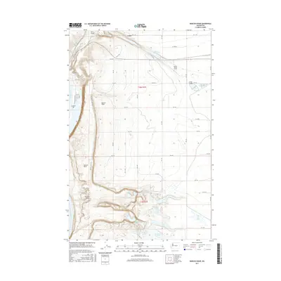 2017 Babcock Ridge2017 Print · USGSGrant County’s volcanic landscape is captured here in the years before recent development, where the Columbia River meets the heights of Babcock Ridge. Trace the unique geography of the Potholes Coulee and local water features like Ancient Lake and Evergreen Reservoir.
 - 2020 Map of Quincy, 2020 Print
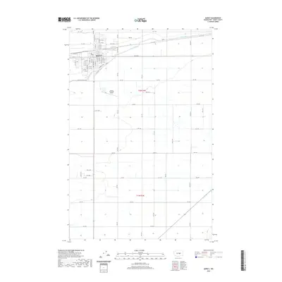 2020 Quincy2020 Print · USGSModern Grant County comes into focus in this recent survey of Quincy and its surrounding agricultural plains. Researchers can trace the town's expansion across Division St E or locate the Quincy Municipal Airport and the path of the West Canal.
 - 2020 Map of Babcock Ridge, 2020 Print
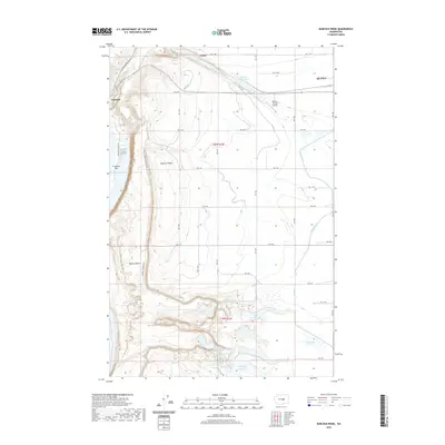 2020 Babcock Ridge2020 Print · USGSThe Grant County landscape near Quincy is defined by high ridges and irrigation waterways in this recent study. Geologists and local historians can trace the water system through Ancient Lake, Evergreen Reservoir, and the aviation history at Quincy Flying Service.
 - 2020 Map of Monument Hill, 2020 Print
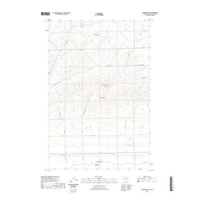 2020 Monument Hill2020 Print · USGSIn the high country north of Quincy, this recent survey captures the rugged breaks of the Beezley Hills and the prominent heights of Monument Hill. Researchers can trace the path of the Quincy Lateral Canal and follow the remote reach of Baird Springs Rd NW across the plateau.
 - 2023 Map of Monument Hill, 2023 Print
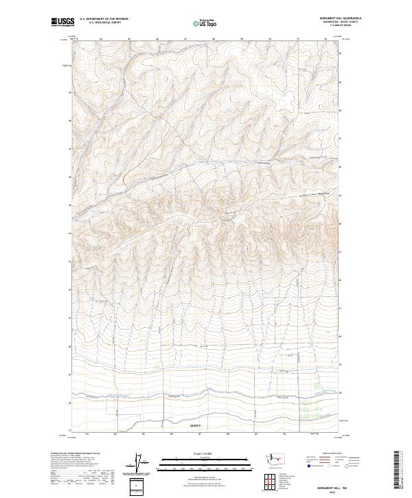 2023 Monument Hill2023 Print · USGSQuincy and the surrounding basalt ridges are captured in this modern survey of central Washington's agricultural frontier. Researchers can trace the path of the Quincy Lateral Canal and the climb toward landmarks like Monument Hill and the Beezley Hills.
 - 2023 Map of Quincy, 2023 Print
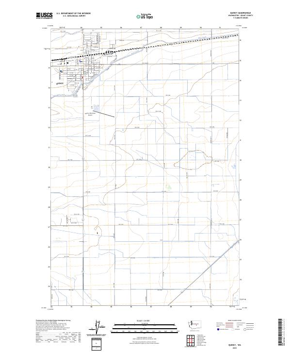 2023 Quincy2023 Print · USGSThe town of Quincy and its surrounding agricultural grid are documented here in the early twenty-first century. Researchers can trace the path of the West Canal and locate family plots at the Quincy Cem or survey the Quincy Municipal Airport.
 - 2023 Map of Babcock Ridge, 2023 Print
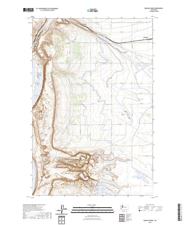 2023 Babcock Ridge2023 Print · USGSSettlements along the Columbia River basin come into focus in this recent survey of the Grant County landscape. Trace the modern shoreline at Crescent Bar and the irrigation network of the West Canal alongside natural landmarks like Babcock Ridge and Ancient Lake.
End of results
Showing maps 1-24 of 24
Top cities near Quincy
Frequently asked questions
- What are the different types of historical maps available for Quincy?
- What is the oldest map of Quincy?
- Where can I purchase historical maps of Quincy for my home or office?
- Where can I download high-res historical maps of Quincy?
- Are there historical topographic maps available for Quincy?
- Is there historical aerial imagery available for Quincy?
- Where are historical maps of Quincy sourced from?