
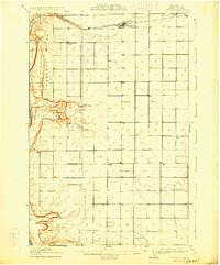
1910 Map of Quincy
USGS Topo · Published 1910About this map
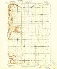
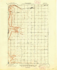
Quincy stands as a primary hub of activity along the Great Northern railroad in this early twentieth-century survey of Grant County. The map reveals a highly structured grid of section lines, reflecting the rapid agrarian development of the Columbia Basin. The sheer density of rural schoolhouses—ranging from Franklin School in the north to Glendale School and Pioneer School in the south—indicates a growing community of homesteaders during this era of settlement.
Find a feature on this map
21 named features on this map. Tap any name to fly to it.
Don’t see what you’re looking for? This feature index may not catch every label — zoom into the map to look around manually.
Map Details
Editions of this 1910 Quincy Map
4 editions found
Other maps of this area

1909 · Quincy
USGS Topo · 1:62,500

1910 · Winchester
USGS Topo · 1:62,500

1911 · Red Rock
USGS Topo · 1:62,500

1912 · Beverly
USGS Topo · 1:62,500

1912 · Malaga
USGS Topo · 1:48,000

1914 · Malaga
USGS Topo · 1:62,500

1920 · Colockum Pass
USGS Topo · 1:125,000

1922 · Colockum Pass
USGS Topo · 1:125,000

1939 · Boylston
USGS Topo · 1:48,000

1943 · Boylston
USGS Topo · 1:62,500