1960s Maps of Laramie County, Wyoming
Explore 61 historic maps of Laramie County from the 1960s. These maps offer a rare glimpse into what life looked like during the 1960s — showing old roads, neighborhoods, homes, and landmarks that have changed or disappeared over time.
Whether you're researching your family's past, planning a metal detecting trip, or studying how Laramie County's landscape evolved across the 1960s, these high-resolution maps are a powerful tool for exploring the history of this region.
- Focus on a specific era: All maps on this page are from the 1960s, giving you a focused view of this time period.
- See what’s changed: Compare century-old streets, trails, and buildings to today's modern landscape using overlays and satellite layers.
- Research with precision: Use these maps for genealogy, historical research, land use analysis, or educational projects.
- View, download, or print: Maps are fully viewable online in high resolution, and can be downloaded or printed for your own records.
Start exploring Laramie County's history through authentic maps from the 1960s. This is your window into the past.
Laramie County, WY maps
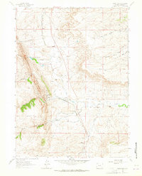
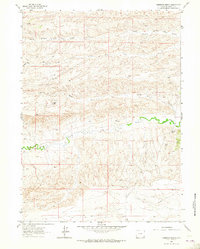
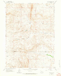
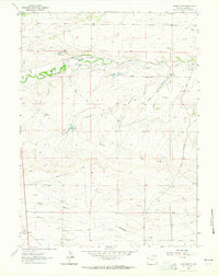
(61)- 1960 Map of Tremain
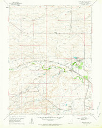
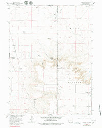 1960 Tremain1960 Print · USGSThe high plains of the Wyoming-Nebraska border come into focus in 1960, showing a landscape defined by cattle ranching and rail infrastructure. Researchers can trace historic family-named homesteads like Bull Canyon Ranch and Spahr Ranch alongside the Epworth Cem.3 unique versions available
 - 1960 Map of Petsch Reservoir, 1962 Print
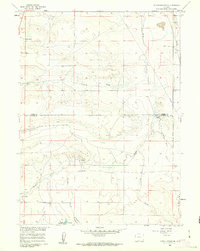 1960 Petsch Reservoir1962 Print · USGSLaramie and Goshen counties were defined by isolated ranching outposts and vital irrigation works in the early sixties. Genealogists can locate family landmarks like Gregory Ranch and Johnson Ranch or trace the route of the Union Pacific rail line.2 unique versions available
 - 1960 Map of Rocky Hollow, 1962 Print
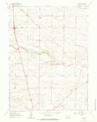
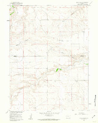 1960 Rocky Hollow1962 Print · USGSThe high plains along the border of Goshen and Laramie Counties are captured here in the early sixties. Researchers can trace the winding paths of Horse Creek and Cattail Creek or locate local landmarks like Rocky Hollow.
 - 1960 Map of Meriden, 1962 Print
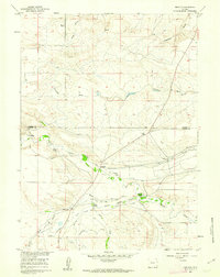 1960 Meriden1962 Print · USGSHigh plains ranching in Laramie and Goshen counties comes alive in the early sixties, showing the vital irrigation networks of the day. Trace family holdings like Petsch Ranch and Hunter Ranch alongside the Meriden Post Office.2 unique versions available
 - 1961 Map of Greeley
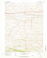
 1961 Greeley1961 Print · USGSNorthern Colorado's transition from high mountain peaks to irrigated plains is captured here just as the post-war population boom reached the Front Range. Researchers can trace early water infrastructure and rail lines like the Great Western RR connecting sugar beet hubs from Fort Collins to Greeley.
 - 1961 Map of Round Top Lake, 1963 Print
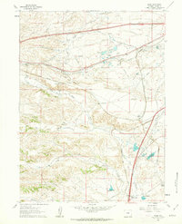
 1961 Round Top Lake1963 Print · USGSThe high plains near Cheyenne in the early sixties reveal a landscape of military expansion and cattle ranching. Researchers can trace family-named holdings like Meadowlark Ranch and the industrial water systems serving Round Top Lake and the Girl Scout Camp.4 unique versions available
 - 1961 Map of Cheyenne South, 1963 Print
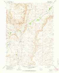
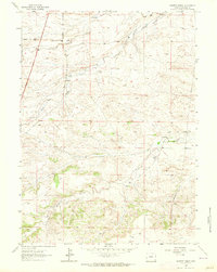
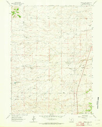
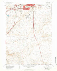 1961 Cheyenne South1963 Print · USGSThe southern outskirts of Cheyenne in the early sixties reveal a landscape of emerging neighborhoods and essential rail hubs. Genealogists and historians can trace the foundations of Orchard Valley and locate landmarks like the Full Gospel Tabernacle and Intermountain Speedway.3 unique versions available
 - 1961 Map of Borie, 1963 Print
 1961 Borie1963 Print · USGSThe Laramie County high plains are captured here in the early sixties, centered on the Union Pacific rail lines and ranching life. Genealogists can trace the footprint of family-run lands like Rees Ranch and Terry Ranch alongside the rail junction at Borie.2 unique versions available
 - 1961 Map of Cheyenne, 1964 Print
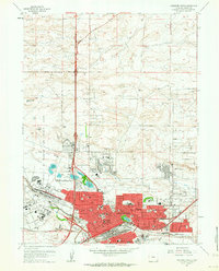
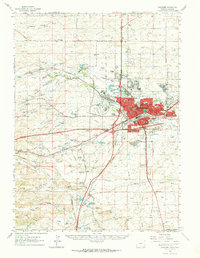 1961 Cheyenne1964 Print · USGSCheyenne and its surrounding high plains are captured here in the early sixties, showing a period of significant military and rail infrastructure. Genealogists and historians can locate old landmarks like Lakeview Cem, the USDA Horticultural Field Station, and early settlements such as Borie and Speer.
 - 1961 Map of Cheyenne North, 1964 Print
 1961 Cheyenne North1964 Print · USGSCheyenne expanded north across the high plains in the early sixties as military and aviation infrastructure matured. Genealogists and historians can trace neighborhood growth through dozens of local schools and churches, from St Marys Sch to the Beth El Cem.3 unique versions available
 - 1962 Map of Horse Creek, 1964 Print
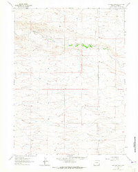
 1962 Horse Creek1964 Print · USGSLaramie County ranching and rail operations are in full swing here during the early sixties. Genealogists and historians can trace the Colorado and Southern rail line to find Horse Creek Siding, the Horse Creek Quarries, and legacy holdings like Whitaker Ranch.
 - 1962 Map of P O Ranch, 1964 Print
 1962 P O Ranch1964 Print · USGSLaramie County ranching country is captured here in the early sixties, showing the vital water systems of the high plains. Researchers can trace the P O Ranch, identify the locations of the Goggins School and Ridley Sch, and follow Lodgepole Creek.2 unique versions available
 - 1962 Map of Federal, 1964 Print
 1962 Federal1964 Print · USGSLaramie County ranch lands are documented here in the early sixties, centered on the railroad stop at Federal. Researchers can trace the legacy of family ranching at Islay Ranch and King-Merritt Ranch or study early water rights along Lodgepole Creek.2 unique versions available
 - 1962 Map of Dereemer Ranch, 1964 Print
 1962 Dereemer Ranch1964 Print · USGSLaramie County ranching life is preserved here in the early sixties, showing the vital relationship between water and livestock. Trace the historic Dereemer Ranch and Whitaker Ranch along the winding banks of Horse Creek.2 unique versions available
 - 1962 Map of Farthing, 1964 Print
 1962 Farthing1964 Print · USGSLaramie County ranching country is captured here in the early 1960s, showing a landscape defined by the railroad and high plains water rights. Researchers can trace family-named lands like the Farthing Ranch and Jordan Ranch or locate the Farthing (Iron Mountain PO) along the Colorado and Southern rail line.2 unique versions available
 - 1962 Map of Silver Crown, 1964 Print
 1962 Silver Crown1964 Print · USGSHigh plains ranching life in Laramie County is captured here in the early sixties as a network of family homesteads and irrigation systems. Genealogists and historians can trace the footprints of the Old Francis Ranch, Silver Crown, and the Gilchrist Sch.3 unique versions available
 - 1962 Map of Hecla, 1964 Print
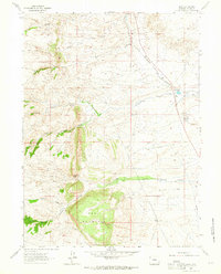
 1962 Hecla1964 Print · USGSLaramie County’s high country in the early sixties was a landscape defined by ranching and vital water infrastructure. You can trace the development of the region's reservoirs, including Granite Springs Reservoir, and locate early operations like the Copper King Mine and North Crow Sch.4 unique versions available
 - 1962 Map of Delano Ranch, 1964 Print
 1962 Delano Ranch1964 Print · USGSSoutheast Wyoming ranching life is well-documented in the early sixties as the high plains terrain meets the Laramie County line. Researchers can trace the water rights and boundaries of the Delano Ranch, Miller Ranch, and Mule Creek.2 unique versions available
 - 1962 Map of Emkay, 1964 Print
 1962 Emkay1964 Print · USGSLaramie County during the early sixties shows the vital Union Pacific rail corridor and its associated sidings. Genealogists and historians can trace the small stations at Otto, Corlett, and Emkay, along with landmarks like the Radio Tower.3 unique versions available
 - 1962 Map of Moffett Ranch, 1964 Print
 1962 Moffett Ranch1964 Print · USGSLaramie County ranching life is well-documented in this early 1960s survey of the high plains drainage. Researchers can trace historic property boundaries and water rights through features like Snow Ranch, Moffett Ranch, and the Pumping Station.3 unique versions available
 - 1962 Map of Farthing Ranch, 1964 Print
 1962 Farthing Ranch1964 Print · USGSLaramie County ranching country is captured here in the early sixties, centered on the operations along Lodgepole Creek. Local historians can trace the footprints of Farthing Ranch and the Wadill area alongside infrastructure like the regional Pipeline.2 unique versions available
 - 1962 Map of Lewis Ranch, 1964 Print
 1962 Lewis Ranch1964 Print · USGSLaramie County ranching life is preserved here during the early sixties, showing the vital irrigation networks of the high plains. Researchers can trace the water systems of Lewis Ranch and locate historical markers like Nimmo, Shelton, and the AT&T BM 6392 station.
 - 1962 Map of Bristol Ridge, 1964 Print
 1962 Bristol Ridge1964 Print · USGSRanching life on the Laramie County plains is captured here in the early sixties, showing a landscape defined by water rights and family homesteads. Genealogists can trace family footprints at the Little Bear Cem or locate historic sites like the Harry Dayton Ranch and Elvy Gillespie Ranch.2 unique versions available
 - 1962 Map of Islay, 1964 Print
 1962 Islay1964 Print · USGSHigh Wyoming cattle country comes into focus in the early sixties as ranching and rail infrastructure define the land. Trace the historical Site of Camp Walbach, the Colorado and Southern railroad, and family landmarks like Lorenz Ranch.2 unique versions available
 - 1962 Map of Hirsig Ranch, 1964 Print
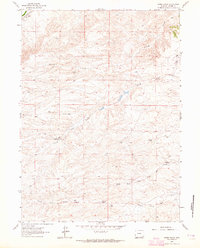 1962 Hirsig Ranch1964 Print · USGSHigh plains ranching life in Laramie County is captured here in the early sixties, documenting a landscape of remote family holdings and water-dependent infrastructure. Genealogists and historians can locate properties like Hirsig Ranch and Welty Ranch or trace the early Oil Well and Landing Strip.
Showing maps 1-25 of 61
Top cities of Laramie County
- Cheyenne historical maps
- Ranchettes historical maps
- South Greeley historical maps
- Fox Farm–College historical maps
- Warren Air Force Base historical maps
- Burns historical maps
See more
Frequently asked questions
- What are the different types of historical maps available for Laramie County?
- What is the oldest map of Laramie County?
- Where can I purchase historical maps of Laramie County for my home or office?
- Where can I download high-res historical maps of Laramie County?
- Are there historical topographic maps available for Laramie County?
- Is there historical aerial imagery available for Laramie County?
- Where are historical maps of Laramie County sourced from?