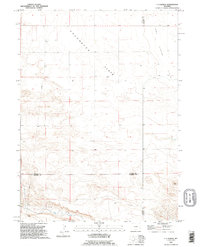
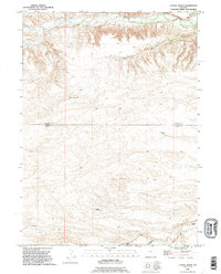
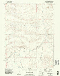
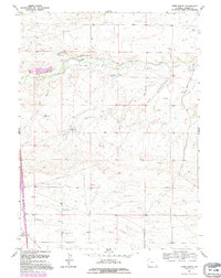
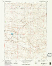
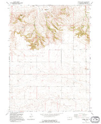
1990s Maps of Laramie County, Wyoming
Explore 37 historic maps of Laramie County from the 1990s. These maps offer a rare glimpse into what life looked like during the 1990s — showing old roads, neighborhoods, homes, and landmarks that have changed or disappeared over time.
Whether you're researching your family's past, planning a metal detecting trip, or studying how Laramie County's landscape evolved across the 1990s, these high-resolution maps are a powerful tool for exploring the history of this region.
- Focus on a specific era: All maps on this page are from the 1990s, giving you a focused view of this time period.
- See what’s changed: Compare century-old streets, trails, and buildings to today's modern landscape using overlays and satellite layers.
- Research with precision: Use these maps for genealogy, historical research, land use analysis, or educational projects.
- View, download, or print: Maps are fully viewable online in high resolution, and can be downloaded or printed for your own records.
Start exploring Laramie County's history through authentic maps from the 1990s. This is your window into the past.
Laramie County, WY maps
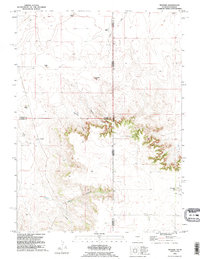
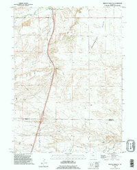
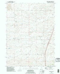
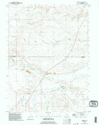
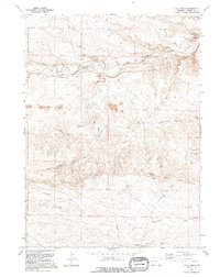
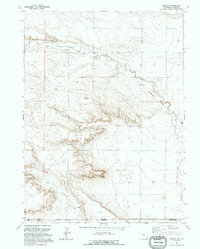
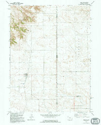
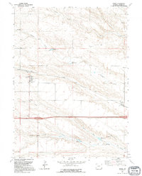
(37)- 1990 Map of Moffett Ranch, 1995 Print
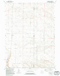
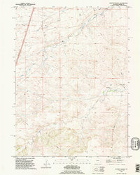 1990 Moffett Ranch1995 Print · USGSLaramie County ranching country is mapped here in the early nineties, showing a landscape shaped by the forks of the Bear Creek drainage. Genealogists and local historians can trace legacy holdings like Moffett Ranch and Nimmo Ranch or locate the old Landing Strip.
 - 1990 Map of C S Ranch, 1995 Print
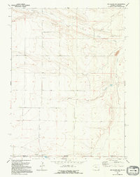
 1990 C S Ranch1995 Print · USGSSoutheast Wyoming ranching lands appear here in the late twentieth century, showing the meeting point of Platte, Goshen, and Laramie counties. Genealogists and historians can trace family-named holdings like the C S Ranch and A X Ranch alongside Bear Creek.
 - 1990 Map of Cattail Ranch, 1995 Print
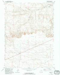
 1990 Cattail Ranch1995 Print · USGSLaramie and Goshen counties were defined by isolated ranching outposts and high-plains drainages during the 1990s. Genealogists and local historians can locate specific family sites like the Weaver Homestead, Wilkinson Place, and the Cattail Ranch.
 - 1990 Map of Petsch Reservoir, 1995 Print
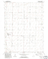
 1990 Petsch Reservoir1995 Print · USGSThe Laramie and Goshen County line in the early nineties shows a landscape shaped by high-plains irrigation and cattle ranching. Trace ancestral lands and water rights at the Gregory Ranch, Johnson Ranch, and along the extensive Coad Ditch.
 - 1990 Map of Tremain, 1995 Print
 1990 Tremain1995 Print · USGSThe Wyoming and Nebraska borderlands are captured here in the 1990s as a landscape of isolated family ranches and deep canyons. Researchers can locate long-standing sites like Tremain Ranch, the Epworth Cem, and the prominent Ninemile Rock.
 - 1990 Map of Rocky Hollow, 1995 Print
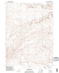
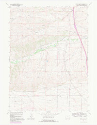
 1990 Rocky Hollow1995 Print · USGSSoutheastern Wyoming's high ranching country is documented here during the late twentieth century. Researchers can trace the drainage patterns and property lines between Goshen Co and Laramie Co, following Horse Creek and Rocky Hollow.
 - 1990 Map of Indian Hill, 1995 Print
 1990 Indian Hill1995 Print · USGSThe Laramie and Goshen county line comes alive in the early nineties, showing a landscape of high-plains ranching and seasonal waterways. Genealogists and land historians can trace family holdings like the Double Lazy J Ranch or follow the route of Indian Hill Road past Indian Hill.
 - 1990 Map of Whitcomb Hill, 1995 Print
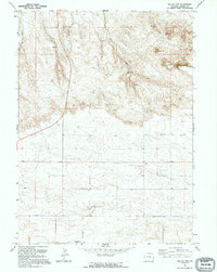
 1990 Whitcomb Hill1995 Print · USGSHigh plains ranching along the Platte and Laramie County line is captured in the early nineties, showing a landscape shaped by water and livestock. Researchers can trace family-named sites like Brinton, Whitcomb Ranch, and Moffett Ranch.
 - 1990 Map of Bristol Ridge NE, 1995 Print
 1990 Bristol Ridge NE1995 Print · USGSThe high plains of Platte and Laramie counties are captured here in the early nineties, showcasing the intersection of ranching land and industrial infrastructure. Researchers can trace the rugged topography from Bristol Ridge down to Chugwater Creek and locate several Oil Well sites.
 - 1990 Map of Bristol Ridge, 1995 Print
 1990 Bristol Ridge1995 Print · USGSLaramie County ranchlands are documented here during the late twentieth century, showing a landscape shaped by family legacies and water rights. Researchers can locate specific homesteads like Richards Hall and Collins Ranch, or visit the Little Bear Cemetery.
 - 1990 Map of Meriden, 1995 Print
 1990 Meriden1995 Print · USGSHigh plains ranching along the Goshen and Laramie county line comes to life in this late-century survey. Trace family history at the Meriden townsite, the Meriden Post Office, or family landmarks like the Petsch Ranch and Morrie Ranch.
 - 1991 Map of J H D Ranch, 1995 Print
 1991 J H D Ranch1995 Print · USGSLaramie County ranching culture is on full display in this 1990s study of the J H D Ranch. Researchers can trace the layout of extensive livestock operations through named sites like Tomato Camp, Kruger Camp, and JHD Dry Camp.
 - 1991 Map of Arcola, 1995 Print
 1991 Arcola1995 Print · USGSThe high plains along the Wyoming and Colorado border appear in the early 1990s as a landscape of remote drainages and industrial relics. Trace the Old Railroad Grade past Arcola and locate landmarks like Chalk Bluffs and Porter Creek.
 - 1991 Map of Nimmo Ranch, 1995 Print
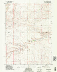
 1991 Nimmo Ranch1995 Print · USGSSoutheast Wyoming ranching life is well-documented on this late-century survey of Laramie County. Researchers can trace historic water rights and family lands through features like Adamson Ditch No 1, Nimmo Ranch, and Whitaker Ranch.
 - 1991 Map of Midway SE, 1995 Print
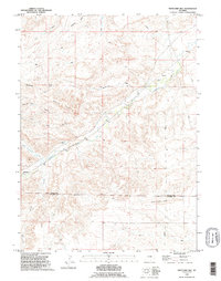
 1991 Midway SE1995 Print · USGSLaramie County during the late twentieth century remains a landscape of quiet prairie and high-plains ranching. Local historians and researchers can locate landmarks like Pleasantview Ch and trace the paths of Chivington Draw and Antelope Draw.
 - 1991 Map of Round Top, 1995 Print
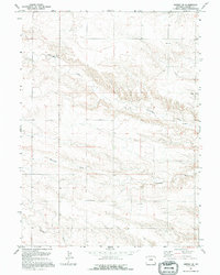
 1991 Round Top1995 Print · USGSLaramie County high country is shown in the early nineties, revealing a landscape of high plateaus and prairie drainages. Researchers can locate the Golden Prairie Alliance Ch. and trace watercourses like Bull Spring Creek and Mills Creek.
 - 1991 Map of Albin, 1995 Print
 1991 Albin1995 Print · USGSThe tri-county border of Wyoming and Nebraska comes into focus during the early nineties, centered on the plains community of Albin. Researchers can trace local landmarks like Albin Cem and Blair Hill or follow the path of State Line Road into Bushnell.
 - 1991 Map of Lewis Ranch, 1995 Print
 1991 Lewis Ranch1995 Print · USGSRanchlands and irrigation networks north of Cheyenne are captured in the early nineties, showcasing a landscape of high plains agriculture. Genealogists and historians can locate family-named sites like Lewis Ranch and Nimmo, or trace the winding Carey Horse Creek Ditch No 1.
 - 1991 Map of Pole Creek Ranch, 1995 Print
 1991 Pole Creek Ranch1995 Print · USGSLaramie County ranching country comes into focus in this late twentieth-century study of the high plains near the Nebraska border. Genealogists and local historians can trace the locations of named outposts like Pole Creek Ranch, Berry Camp, and Middle Camp.
 - 1991 Map of Gurney Peak, 1995 Print
 1991 Gurney Peak1995 Print · USGSLaramie County high country is documented here in the early 1990s, showcasing a landscape of high plains and vital water sources. Researchers can trace land use through features like Petsch Reservoir, Gurney Peak, and the Bruce Radio Tower.
 - 1991 Map of Lindbergh, 1995 Print
 1991 Lindbergh1995 Print · USGSThe High Plains borderlands in the early nineties show a landscape of remote settlements and straight-line boundaries. Researchers can trace the quiet history of Lindbergh and Russell or locate the Lindbergh Cem near the Wyoming-Nebraska line.
 - 1991 Map of Pine Bluffs SW, 1995 Print
 1991 Pine Bluffs SW1995 Print · USGSHigh Plains ranching and the interstate border define this landscape in the early nineties. Genealogists and researchers can trace family-named sites like Kelly Ranch and Baumann Ranch or locate the Butler Landing Strip.
 - 1991 Map of Midway, 1995 Print
 1991 Midway1995 Print · USGSLaramie County ranch lands are documented here in the early nineties, revealing a landscape shaped by water and wind power. Genealogists and local historians can locate early homestead sites like J R Ranch and Neta, or trace the vital cattle-country network of Rhodes Windmill and Donahue Reservoir.
 - 1991 Map of Carpenter, 1995 Print
 1991 Carpenter1995 Print · USGSNear the Wyoming-Colorado border in the early nineties, the small community of Carpenter remained a quiet agricultural hub. Local historians can trace the remnants of the Old Railroad Grade and locate family markers at the village Cem.
 - 1991 Map of Burns, 1995 Print
 1991 Burns1995 Print · USGSLaramie County ranching and rail infrastructure are on display here in the early nineties, centered on the growing community of Burns. Genealogists and local researchers can trace the Union Pacific line to Egbert or locate family plots at the Burns Cem.
Showing maps 1-25 of 37
Top cities of Laramie County
- Cheyenne historical maps
- Ranchettes historical maps
- South Greeley historical maps
- Fox Farm–College historical maps
- Warren Air Force Base historical maps
- Burns historical maps
See more
Frequently asked questions
- What are the different types of historical maps available for Laramie County?
- What is the oldest map of Laramie County?
- Where can I purchase historical maps of Laramie County for my home or office?
- Where can I download high-res historical maps of Laramie County?
- Are there historical topographic maps available for Laramie County?
- Is there historical aerial imagery available for Laramie County?
- Where are historical maps of Laramie County sourced from?